13 Christensen Lane, Wangandary VIC 3678
This information is estimated by the OpenLot research team. Let us know here to provide up-to-date information about this development.
| Total new homes | 95 |
| Area size | 10.14 hectares |
| City council | Rural City Of Wangaratta |
| Developer | N/A |
Land for Sale, House and Land Packages:
Popular Estates near 13 Christensen Lane, Wangandary


Updates for 13 Christensen Lane, Wangandary
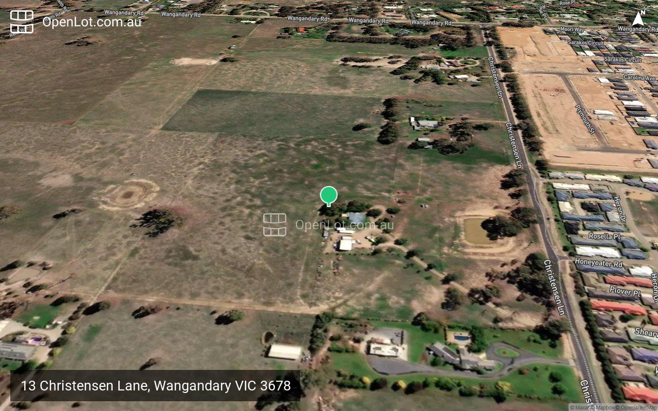
Location & Map for 13 Christensen Lane, Wangandary
Loading...
Vacancy Rate in Wangandary VIC 3678
View full vacancy rate history in Wangandary VIC 3678 via SQM Research.
Schools near 13 Christensen Lane, Wangandary
Here are 6 schools near 13 Christensen Lane, Wangandary:
Wangaratta District Specialist School - Wangaratta
U Government Special School
1.4km east
Appin Park Primary School - Wangaratta
Prep-6 Government Primary School
1.4km east
St Bernard's School - Wangaratta
Prep-6 Catholic Primary School
1.9km east
Borinya, Wangaratta Community Partnership - Wangaratta
7-12 Catholic Special School
2.2km east
Wangaratta High School - Wangaratta
7-12 Government Secondary School
2.2km east
Wangaratta West Primary School - Wangaratta
Prep-6 Government Primary School
2.2km south-east
Planning Applications for 13 Christensen Lane, Wangandary
| Planning Application | Land report | Number of lots | Plan number | Land surveyor | Lodged date | Intended use | Settlement tracking |
|---|---|---|---|---|---|---|---|
| 13 Christensen Lane, Wangandary VIC 3678 | 95 | , M3008, PlnApp21/247 | North East Survey Design Pty Ltd | 05/11/2021 | Staged 95 lot subdivision, removal of an easement (power) and removal of native vegetation. Refer to planning report for details. | Planning Permit |
Reviews & Comments on 13 Christensen Lane, Wangandary
Loading comments...
Estate Brochure, Masterplan, Engineering Plan, Plan of Subdivision (POS), Design Guidelines
FAQs about 13 Christensen Lane, Wangandary
How many homes does 13 Christensen Lane, Wangandary consist of?
There will be 95 new homes in 13 Christensen Lane, Wangandary.
What’s the total area size for 13 Christensen Lane, Wangandary?
13 Christensen Lane, Wangandary has 10.14 hectares total area size.
Which city council does 13 Christensen Lane, Wangandary fall under?
Rural City Of Wangaratta is the local government area for 13 Christensen Lane, Wangandary.
Which schools near 13 Christensen Lane, Wangandary?
Below are the nearby schools for 13 Christensen Lane, Wangandary:
- Wangaratta District Specialist School - 1.4km east
- Appin Park Primary School - 1.4km east
- St Bernard's School - 1.9km east
- Borinya, Wangaratta Community Partnership - 2.2km east
- Wangaratta High School - 2.2km east
- Wangaratta West Primary School - 2.2km south-east
Popular Estates near 13 Christensen Lane, Wangandary
Latest New Home Articles for You

10/May/2024
13
content here.
10/May/2024
14
Content here.
10/May/2024
15
Content here.
10/May/2024
16
Content here.
10/May/2024
17
Content here.
10/May/2024
18
Content here.
10/May/2024
19
Content here.

10/May/2024
20
Lorem ipsum dolor sit amet, consectetur adipiscing elit. Etiam turpis era...
10/May/2024
21
Content here.