Townhouse in Beveridge, VIC 3753
5 results
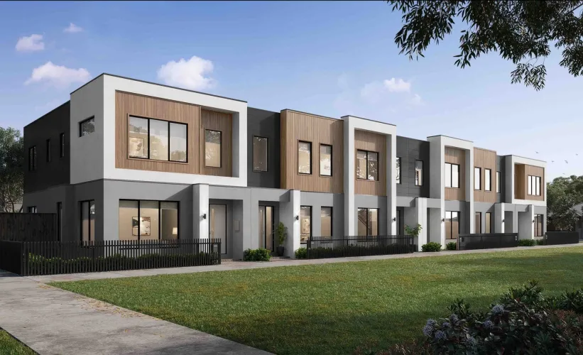
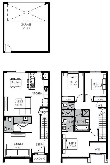


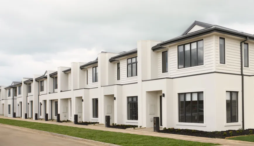

3 townhouses matching your criteria:
Suburb Profile for Beveridge VIC 3753
Land for Sale, House and Land Packages and Townhouses in Beveridge VIC 3753 across 23 estates. Below are a snapshot of this suburb via buyer demand index.
| Total developments | 23 |
| City council | Mitchell Shire Council |
| Preferred Building Types | Single storey home (58%) |
| Residency Status | Australian citizen (74%) |
| Preferred Land Sizes | 300m² - 399m² (39%) |
| Preferred Floor-plans | 4 bed | 2 bath | 2 car (44%) |
| Financial Status | Deposit ready (42%) |
| Buying Purposes | Buy the first home (33%) |
| Preferred Amenities | Public transportation (30%) |
| Timeframe to Purchase | Less than 1 month (31%) |
| Building Budget | $200,000 - $300,000 (32%) |
| Preferred Land Settlement Time | Titled land (23%) |
| Total Budget | $500,001 - $600,000 (27%) |
| Postcode From | 3064 (Craigieburn, Mickleham, Kalkallo, Donnybrook, Roxburgh Park) (55%) |
| Nearby distances |
25 km north-east to Melbourne Airport 38 km north to Melbourne CBD |
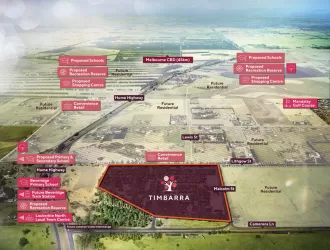
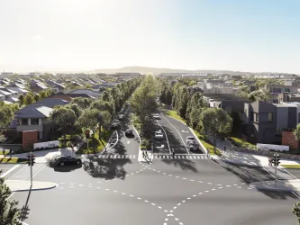
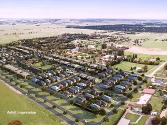
Popular Estates near Beveridge VIC 3753


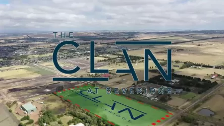

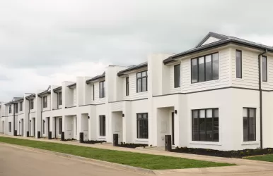
Display Village in Beveridge VIC 3753
Land Price Trend in Beveridge VIC 3753
Below shows the price trend from vacant land sales recorded in Beveridge VIC 3753.
The data and information provided by Terralytics (Aust) Pty Ltd (Terralytics Data) is general in nature and is not intended to constitute professional advice. Read more
It should not be relied upon as a substitute for legal, financial, valuation, or other specialist advice relevant to your specific circumstances.
Terralytics uses commercially reasonable endeavours to ensure the Terralytics Data is current and accurate. However, as the Terralytics Data incorporates information sourced from third parties, Terralytics makes no representation or warranty — express or implied — as to its accuracy, completeness, or currency. To the maximum extent permitted by applicable law, Terralytics excludes all liability for any loss or damage (including consequential loss) arising out of or in connection with reliance on the Terralytics Data, whether arising in contract, tort (including negligence), statute, or otherwise.
Schools in Beveridge VIC 3753
Suburbs near Beveridge VIC 3753
Kalkallo VIC 3064
7 estates | Hume City Council
6.3km south-west
Wallan VIC 3756
22 estates | Mitchell Shire Council
7.2km north
Donnybrook VIC 3064
20 estates | Whittlesea City Council
7.2km south
Woodstock VIC 3751
4 estates | Whittlesea City Council
9.5km south-east
Mickleham VIC 3064
19 estates | Hume City Council
12.5km south-west
Whittlesea VIC 3757
3 estates | Whittlesea City Council
13.0km east
Vacancy Rate in Beveridge VIC 3753
View full vacancy rate history in Beveridge VIC 3753 via SQM Research
FAQs about Beveridge VIC 3753
In Jan-26, the median price for vacant land in Beveridge VIC 3753 was $348,500.
From Oct-14 to Jan-26, the median price for vacant land in Beveridge VIC 3753 has increased 99.14%.
Beveridge VIC 3753 falls under Mitchell Shire Council.
Beveridge VIC 3753 is near the following:
- 25 km north-east to Melbourne Airport
- 38 km north to Melbourne CBD
39% of new home buyers in Beveridge VIC 3753 are looking for 300m² - 399m² land size.
44% of new home buyers in Beveridge VIC 3753 are looking for 4 bed | 2 bath | 2 car floor-plans.
There is 1 school registered in Beveridge VIC 3753.
- Beveridge Primary School
