
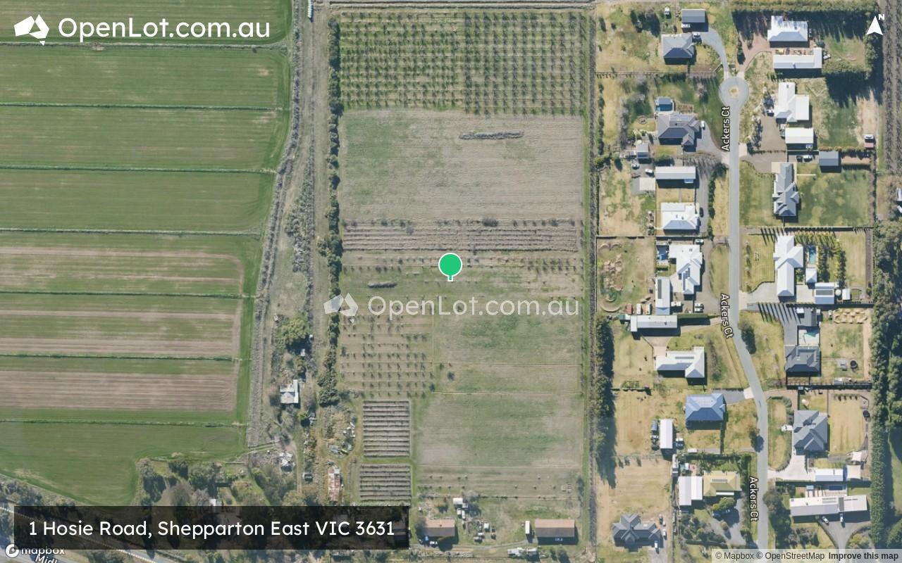
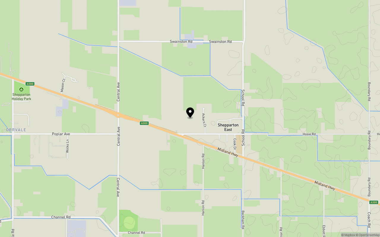
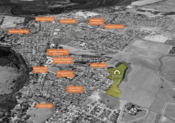
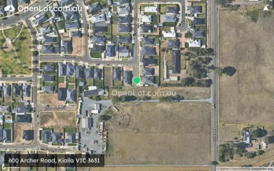
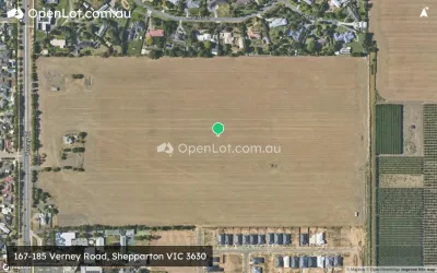
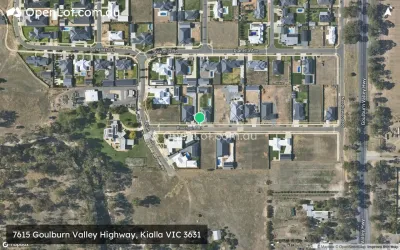
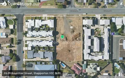
Location & Map for 1 Hosie Road, Shepparton East VIC 3631
Schools near 1 Hosie Road, Shepparton East VIC 3631
Overview
This information is estimated by the OpenLot research team. Let us know here to provide up-to-date information about this development.
| Total new homes | |
| Area Size | 5.53 hectares |
| City Council | Greater Shepparton City Council |
| Developer | N/A |
Updates for 1 Hosie Road, Shepparton East
Popular Estates near 1 Hosie Road, Shepparton East


Not exactly what you're looking for? Try surrounding suburbs
Mooroopna VIC 3629
5 estates | Greater Shepparton City Council
11.6km west
Shepparton VIC 3630
9 estates | Greater Shepparton City Council
8.1km west
Kialla VIC 3631
12 estates | Greater Shepparton City Council
7.1km south-west
Toolamba VIC 3614
1 estate | Greater Shepparton City Council
17.6km south-west
Tallygaroopna VIC 3634
1 estate | Greater Shepparton City Council
18.4km north
Shepparton North VIC 3631
4 estates | Greater Shepparton City Council
10.2km north-west
Latest published articles


FAQs about 1 Hosie Road, Shepparton East VIC 3631
1 Hosie Road, Shepparton East VIC 3631 consists of 17 homes.
The total area for 1 Hosie Road, Shepparton East VIC 3631 is 5.53 hectares.
1 Hosie Road, Shepparton East VIC 3631 falls under Greater Shepparton City Council.
Nearby schools for 1 Hosie Road, Shepparton East VIC 3631:
- Shepparton East Primary School - 694m south-east
- Orrvale Primary School - 3.2km south-west
- Lemnos Primary School - 4.4km north
- St Mel's School - 5.6km west
- Grahamvale Primary School - 5.8km north-west
- Greater Shepparton Secondary College - 5.8km north-west