
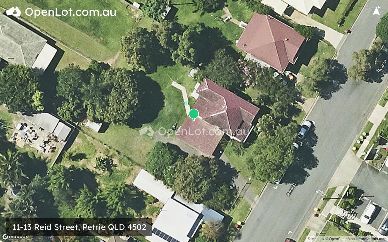
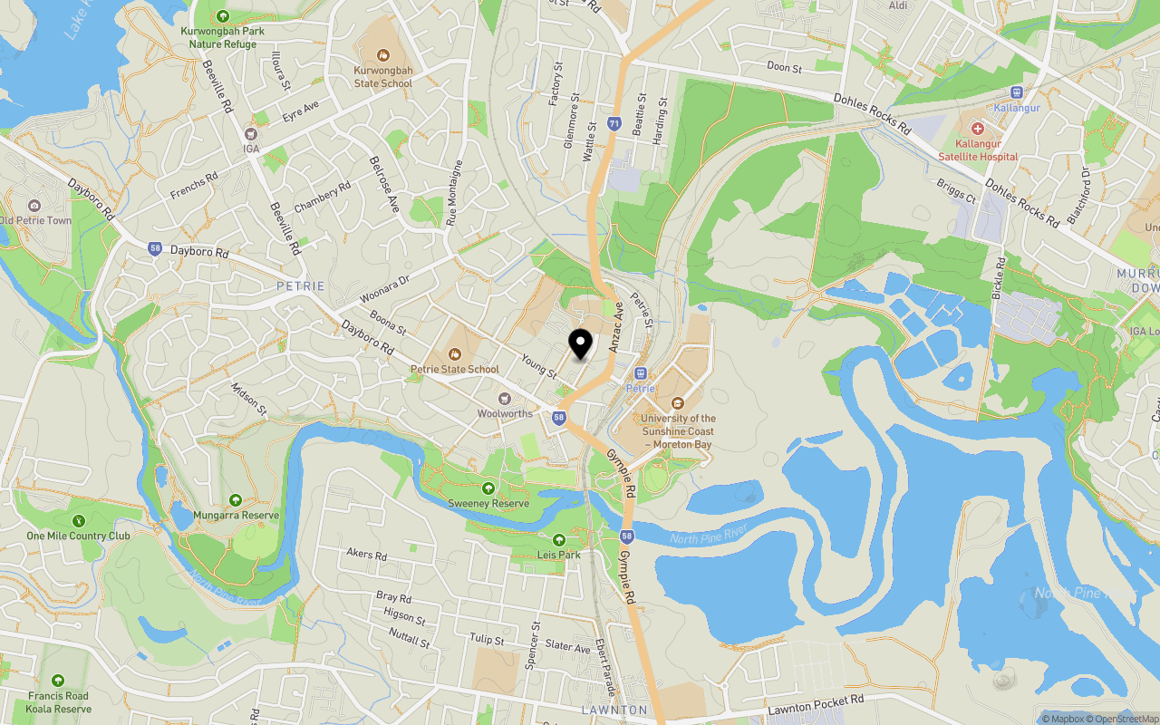
Location & Map for 11-13 Reid Street, Petrie QLD 4502
Schools near 11-13 Reid Street, Petrie QLD 4502
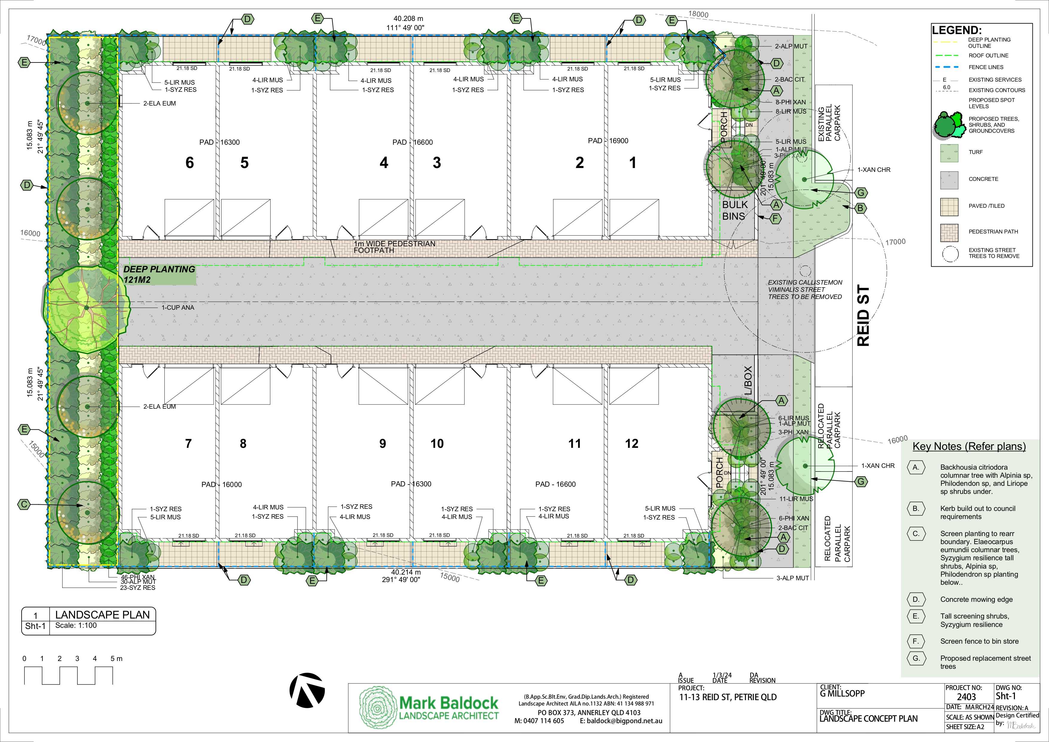
Overview
This information is estimated by the OpenLot research team. Let us know here to provide up-to-date information about this development.
| Total new homes | |
| Area Size | 0.12 hectares |
| Growth Region | Greater Brisbane Growth Areas |
| City Council | Moreton Bay Regional Council |
| Developer | N/A |
| Distance to |
Updates for 11-13 Reid Street, Petrie
Popular Estates near 11-13 Reid Street, Petrie


Not exactly what you're looking for? Try surrounding suburbs
Strathpine QLD 4500
2 estates | Moreton Bay Regional Council
4.1km south
Lawnton QLD 4501
9 estates | Moreton Bay Regional Council
1.9km south
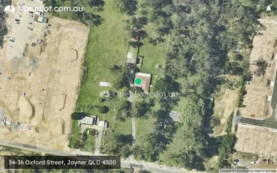
Joyner QLD 4500
11 estates | Moreton Bay Regional Council
4.4km west
Murrumba Downs QLD 4503
4 estates | Moreton Bay Regional Council
2.5km east
Kallangur QLD 4503
6 estates | Moreton Bay Regional Council
2.1km north-east
Bray Park QLD 4500
1 estate | Moreton Bay Regional Council
3.0km south
Latest published articles


FAQs about 11-13 Reid Street, Petrie QLD 4502
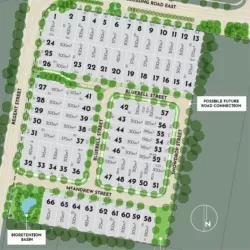
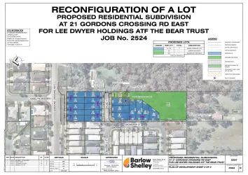
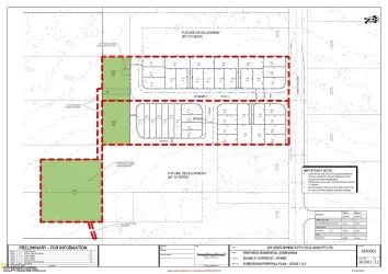
11-13 Reid Street, Petrie QLD 4502 consists of 12 homes.
The total area for 11-13 Reid Street, Petrie QLD 4502 is 0.12 hectares.
11-13 Reid Street, Petrie QLD 4502 falls under Moreton Bay Regional Council.
11-13 Reid Street, Petrie QLD 4502 is 23 km north of Brisbane CBD.
Nearby schools for 11-13 Reid Street, Petrie QLD 4502:
- Our Lady of the Way School - 174m north
- Mt Maria College - Petrie - 343m north
- Petrie State School - 695m west
- Lawnton State School - 1.6km south
- Pinnacle Academic College - 1.6km north
- Kurwongbah State School - 1.7km north-west