
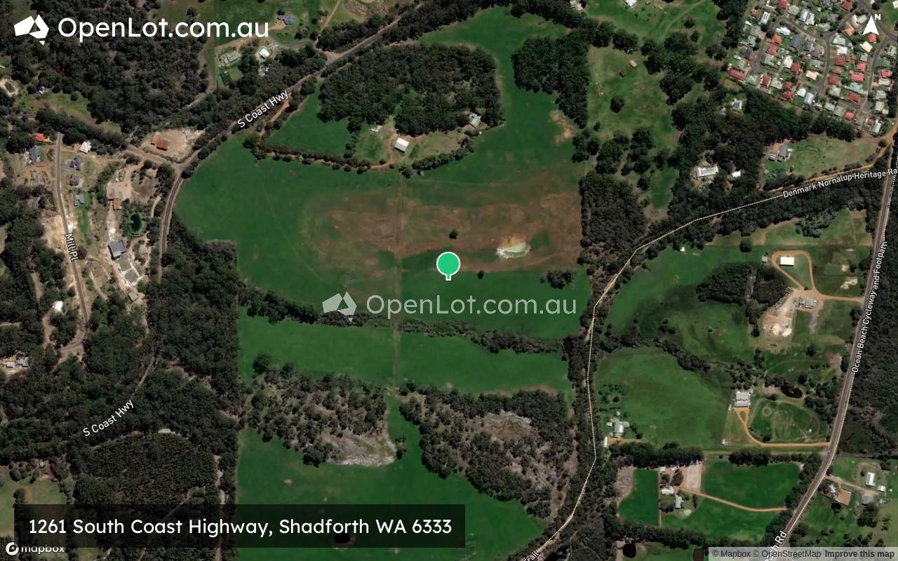
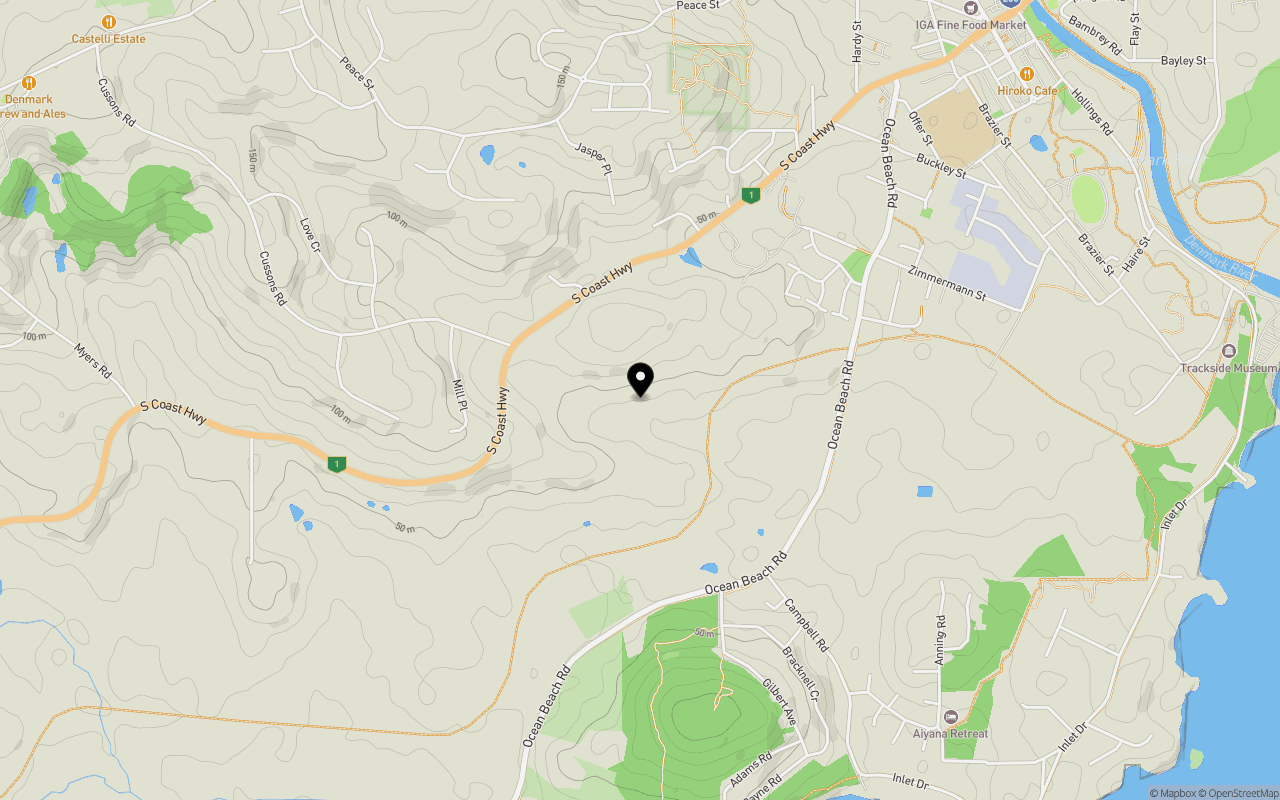
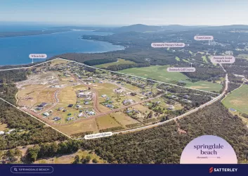
Location & Map for 1261 South Coast Highway, Shadforth WA 6333
Schools near 1261 South Coast Highway, Shadforth WA 6333
1261 South Coast Highway, Shadforth WA 6333 Video
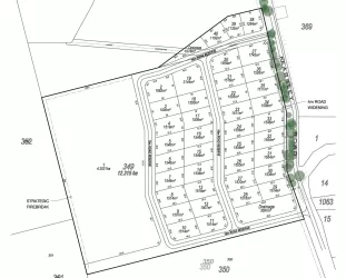
Overview
This information is estimated by the OpenLot research team. Let us know here to provide up-to-date information about this development.
| Total new homes | |
| Area Size | 72.89 hectares |
| City Council | Shire of Denmark |
| Developer | N/A |
Updates for 1261 South Coast Highway, Shadforth

Popular Estates near 1261 South Coast Highway, Shadforth

Not exactly what you're looking for? Try surrounding suburbs
McKail WA 6330
2 estates | City of Albany
50.9km east
Denmark WA 6333
3 estates | Shire of Denmark
7.1km east
Hay WA 6333
1 estate | Shire of Denmark
13.6km east
Gledhow WA 6330
1 estate | City of Albany
50.7km east
Mount Barker WA 6324
1 estate | Shire of Plantagenet
51.6km north-east
Drome WA 6330
1 estate | City of Albany
45.4km east
Latest published articles


FAQs about 1261 South Coast Highway, Shadforth WA 6333
The total area for 1261 South Coast Highway, Shadforth WA 6333 is 72.89 hectares.
1261 South Coast Highway, Shadforth WA 6333 falls under Shire of Denmark.
Nearby schools for 1261 South Coast Highway, Shadforth WA 6333:
- Denmark Primary School - 1.7km north-east
- Kwoorabup Community School - 2.4km east
- Denmark Senior High School - 2.9km north-east
- Western Australian College Of Agriculture - Denmark - 3.8km north-east
- Golden Hill Steiner School - 3.8km north-east
- Woodbury Boston Primary School - 28.3km south-east