
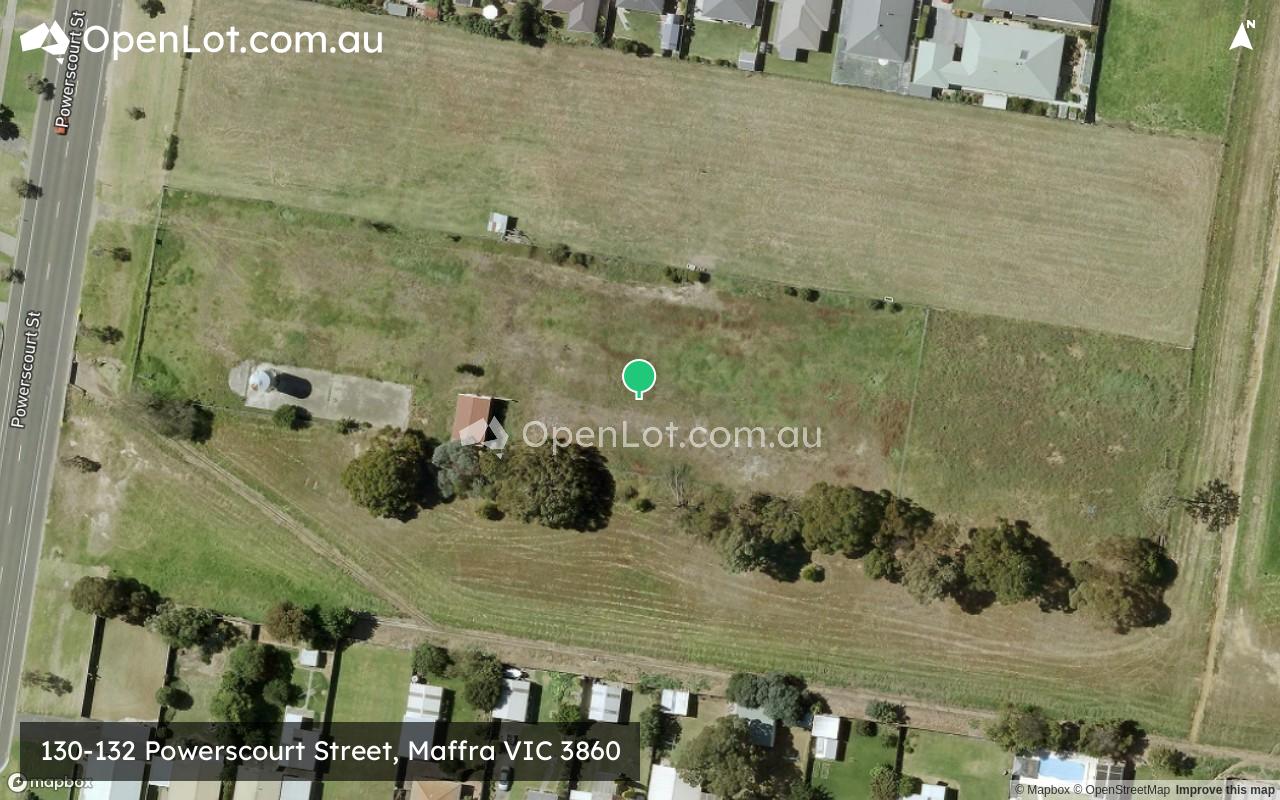
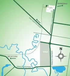
Location & Map for 130-132 Powerscourt Street, Maffra VIC 3860
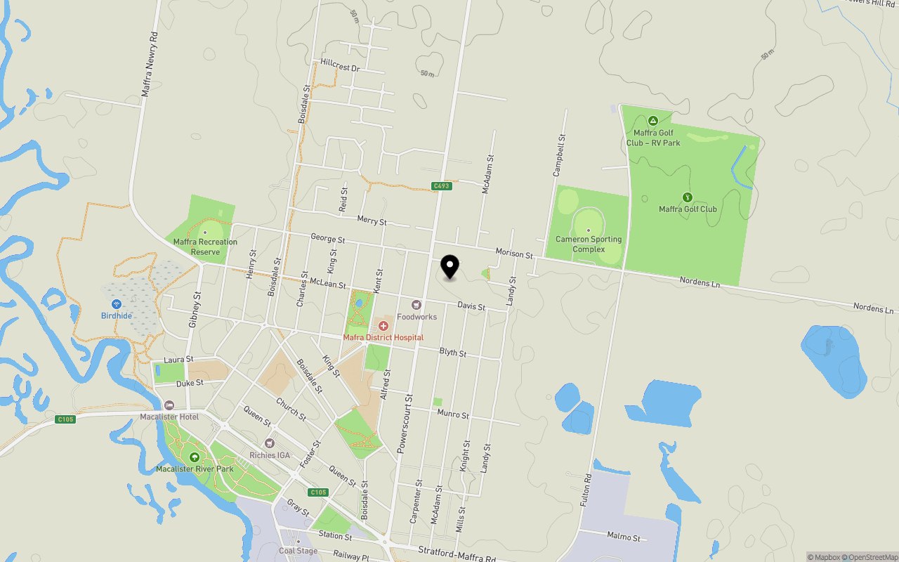
Schools near 130-132 Powerscourt Street, Maffra VIC 3860
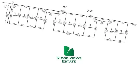
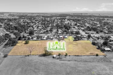
Overview
This information is estimated by the OpenLot research team. Let us know here to provide up-to-date information about this development.
| Total new homes | |
| Area Size | 0.81 hectares |
| Growth Region | Gippsland Regional Growth Areas |
| City Council | Wellington Shire Council |
| Developer | N/A |
Land Price Trend in Maffra VIC 3860
Below shows the price trend from vacant land sales recorded in Maffra VIC 3860.
The data and information provided by Terralytics (Aust) Pty Ltd (Terralytics Data) is general in nature and is not intended to constitute professional advice. Read more
It should not be relied upon as a substitute for legal, financial, valuation, or other specialist advice relevant to your specific circumstances.
Terralytics uses commercially reasonable endeavours to ensure the Terralytics Data is current and accurate. However, as the Terralytics Data incorporates information sourced from third parties, Terralytics makes no representation or warranty — express or implied — as to its accuracy, completeness, or currency. To the maximum extent permitted by applicable law, Terralytics excludes all liability for any loss or damage (including consequential loss) arising out of or in connection with reliance on the Terralytics Data, whether arising in contract, tort (including negligence), statute, or otherwise.
Popular Estates near 130-132 Powerscourt Street, Maffra
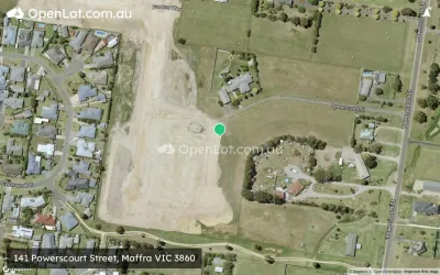
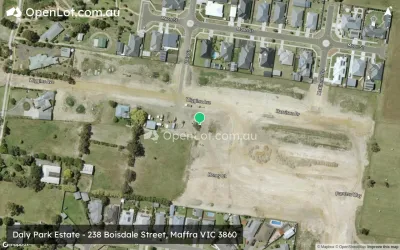

Not exactly what you're looking for? Try surrounding suburbs
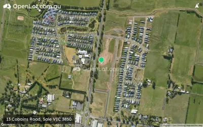
Sale VIC 3850
6 estates | Wellington Shire Council
18.7km south-east
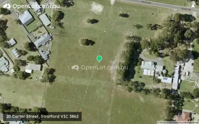
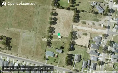
Stratford VIC 3862
7 estates | Wellington Shire Council
10.3km east
Heyfield VIC 3858
4 estates | Wellington Shire Council
15.7km west
Longford VIC 3851
1 estate | Wellington Shire Council
24.7km south-east
Rosedale VIC 3847
2 estates | Wellington Shire Council
27.7km south-west
Wurruk VIC 3850
4 estates | Wellington Shire Council
17.1km south
Latest published articles


FAQs about 130-132 Powerscourt Street, Maffra VIC 3860
130-132 Powerscourt Street, Maffra VIC 3860 consists of 11 homes.
The total area for 130-132 Powerscourt Street, Maffra VIC 3860 is 0.81 hectares.
130-132 Powerscourt Street, Maffra VIC 3860 falls under Wellington Shire Council.
Nearby schools for 130-132 Powerscourt Street, Maffra VIC 3860:
- Maffra Secondary College - 825m south-west
- Maffra Primary School - 1.1km south-west
- St Mary's School - 1.5km west
- Bundalaguah Primary School - 7.5km south
- St Patrick's School - 7.9km east
- Stratford Primary School - 8.6km east