
Property types for sale
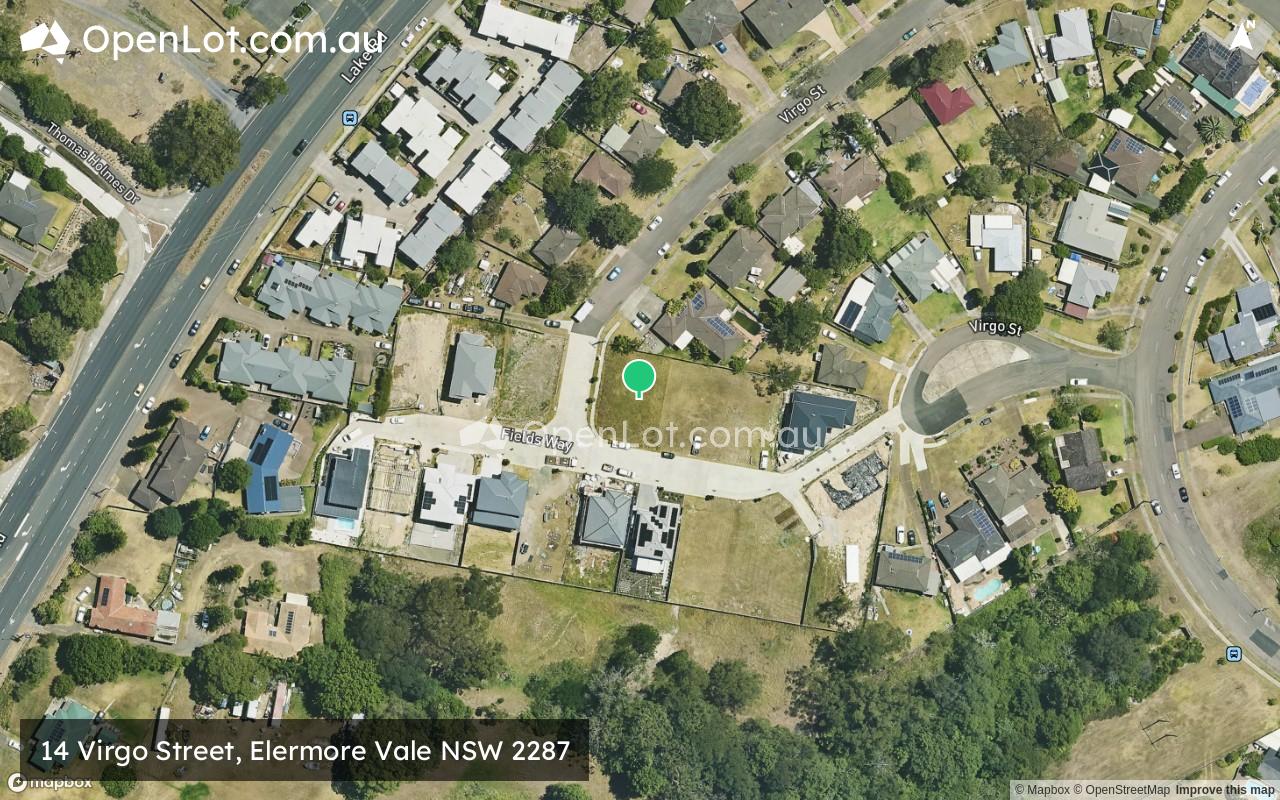
Location & Map for 14 Virgo Street, Elermore Vale NSW 2287
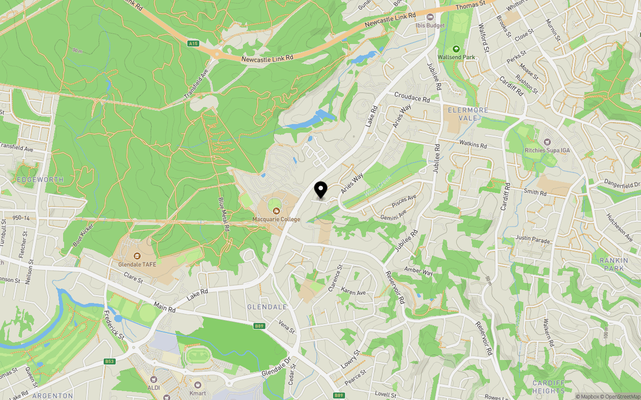
Schools near 14 Virgo Street, Elermore Vale NSW 2287
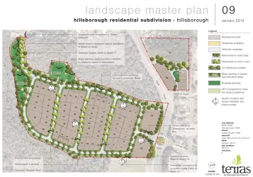
Overview
This information is estimated by the OpenLot research team. Let us know here to provide up-to-date information about this development.
| Total new homes | |
| Area Size | 0.47 hectares |
| Growth Region | Greater Newcastle Growth Areas (The Hunter Region) |
| City Council | Newcastle City Council |
| Developer | N/A |
| Project Marketer | Raine & Horne New Lambton |
| Distance to |
Popular Estates near 14 Virgo Street, Elermore Vale

Not exactly what you're looking for? Try surrounding suburbs
Rankin Park NSW 2287
1 estate | Lake Macquarie City Council
2.1km south-east
Kotara NSW 2289
1 estate | Newcastle City Council
4.4km south-east
Cardiff NSW 2285
2 estates | Lake Macquarie City Council
2.7km south
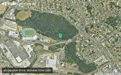
Glendale NSW 2285
2 estates | Lake Macquarie City Council
1.8km south-west
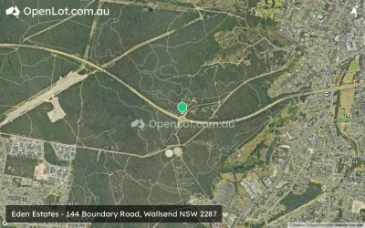
Wallsend NSW 2287
1 estate | Newcastle City Council
1.7km north-east
Garden Suburb NSW 2289
1 estate | Lake Macquarie City Council
3.8km south-east
Latest published articles


FAQs about 14 Virgo Street, Elermore Vale NSW 2287
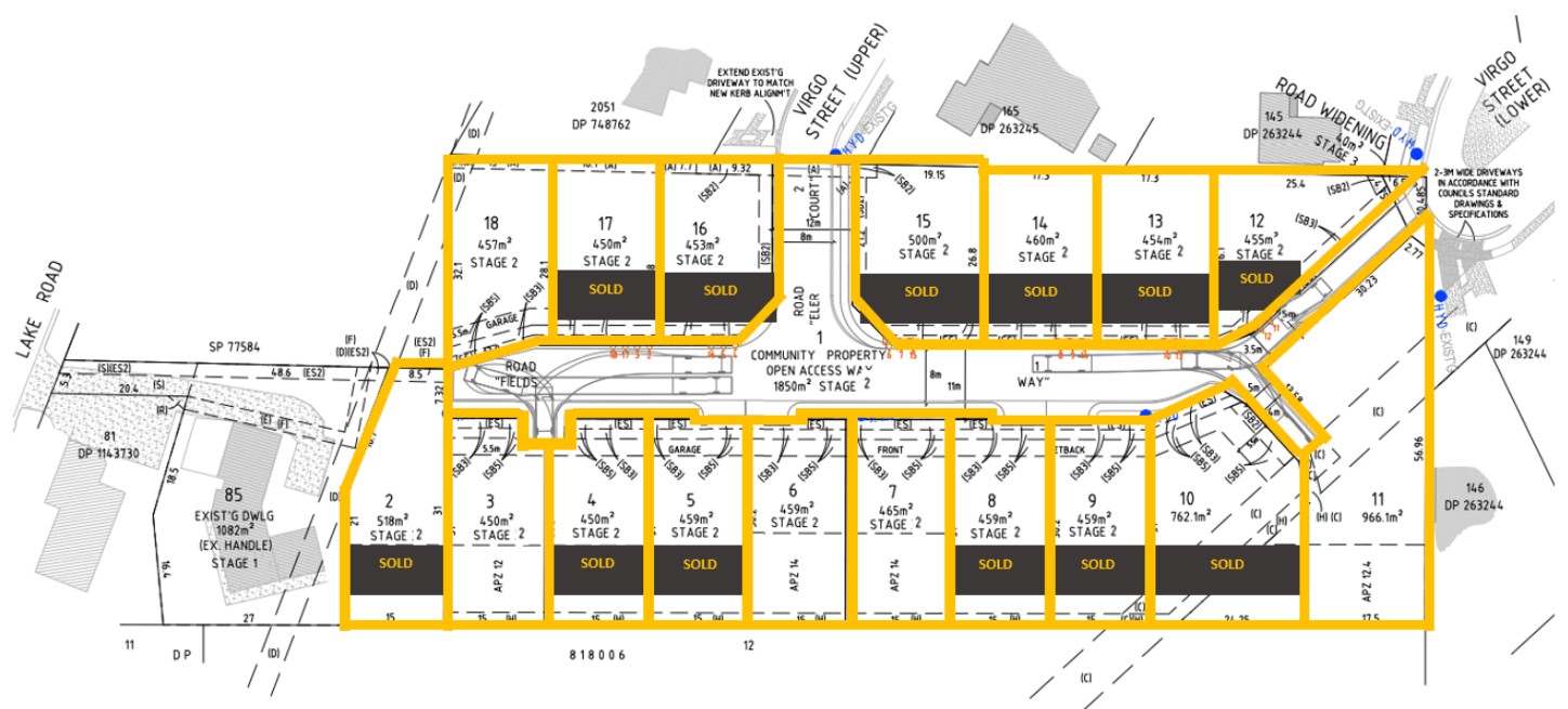
14 Virgo Street, Elermore Vale NSW 2287 consists of 17 homes.
The total area for 14 Virgo Street, Elermore Vale NSW 2287 is 0.47 hectares.
14 Virgo Street, Elermore Vale NSW 2287 falls under Newcastle City Council.
14 Virgo Street, Elermore Vale NSW 2287 is 12 km west of Newcastle CBD.
Raine & Horne New Lambton is the project marketer for 14 Virgo Street, Elermore Vale NSW 2287.
Nearby schools for 14 Virgo Street, Elermore Vale NSW 2287:
- Macquarie College - 364m west
- Newcastle Waldorf School - 364m south
- Glendale East Public School - 713m south
- Holy Cross Primary School - 1.2km south-west
- Elermore Vale Public School - 1.3km north-east
- Glendale Technology High School - 1.3km south-west