
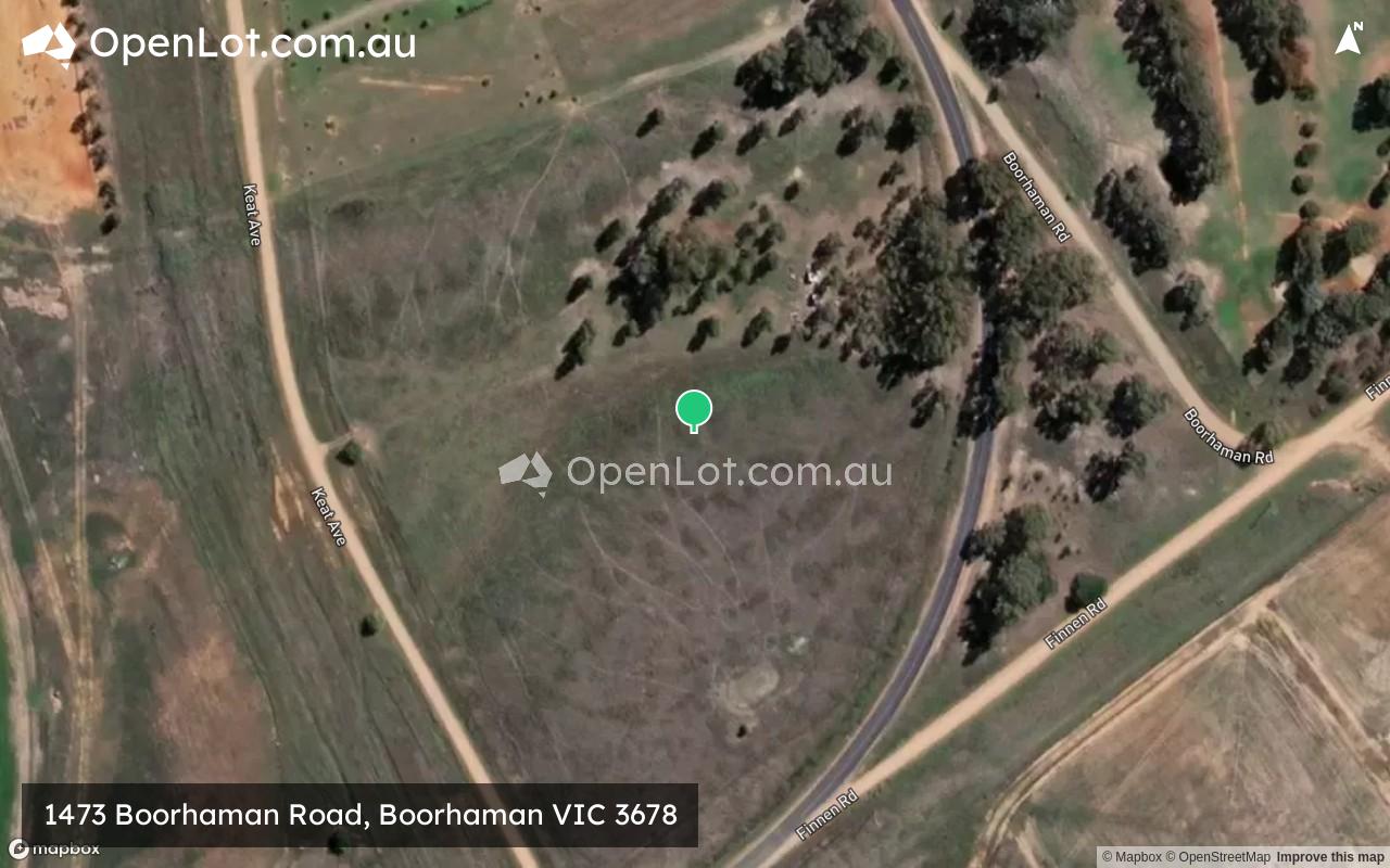
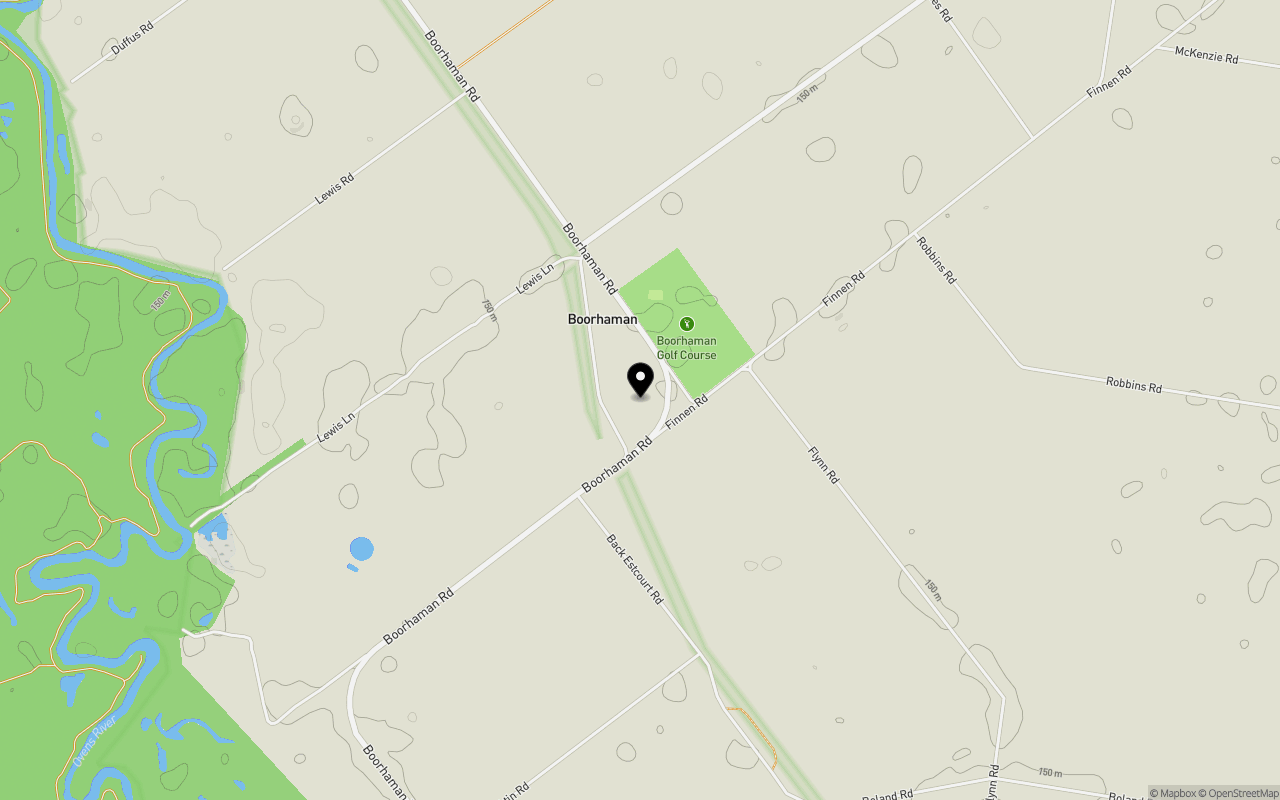
Location & Map for 1473 Boorhaman Road, Boorhaman VIC 3678
Schools near 1473 Boorhaman Road, Boorhaman VIC 3678
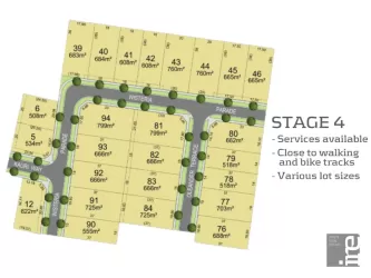
Overview
This information is estimated by the OpenLot research team. Let us know here to provide up-to-date information about this development.
| Total new homes | |
| Area Size | 5.38 hectares |
| City Council | Rural City Of Wangaratta |
| Developer | N/A |
Popular Estates near 1473 Boorhaman Road, Boorhaman


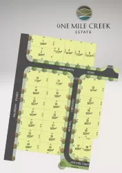

Not exactly what you're looking for? Try surrounding suburbs
Rutherglen VIC 3685
4 estates | Indigo Shire Council
25.1km north-east
Bundalong VIC 3730
4 estates | Moira Shire Council
23.1km north-west
Waldara VIC 3678
5 estates | Rural City Of Wangaratta
11.0km south
Wangaratta VIC 3677
14 estates | Rural City Of Wangaratta
14.3km south
Wangandary VIC 3678
2 estates | Rural City Of Wangaratta
12.6km south-west
Tarrawingee VIC 3678
1 estate | Rural City Of Wangaratta
24.1km south-east
Latest published articles


FAQs about 1473 Boorhaman Road, Boorhaman VIC 3678
1473 Boorhaman Road, Boorhaman VIC 3678 consists of 11 homes.
The total area for 1473 Boorhaman Road, Boorhaman VIC 3678 is 5.38 hectares.
1473 Boorhaman Road, Boorhaman VIC 3678 falls under Rural City Of Wangaratta.
Nearby schools for 1473 Boorhaman Road, Boorhaman VIC 3678:
- Borinya, Wangaratta Community Partnership - 13.5km south
- Galen Catholic College - 13.6km south
- Appin Park Primary School - 13.9km south
- Wangaratta District Specialist School - 14.1km south
- Wangaratta High School - 14.2km south
- St Bernard's School - 14.5km south