
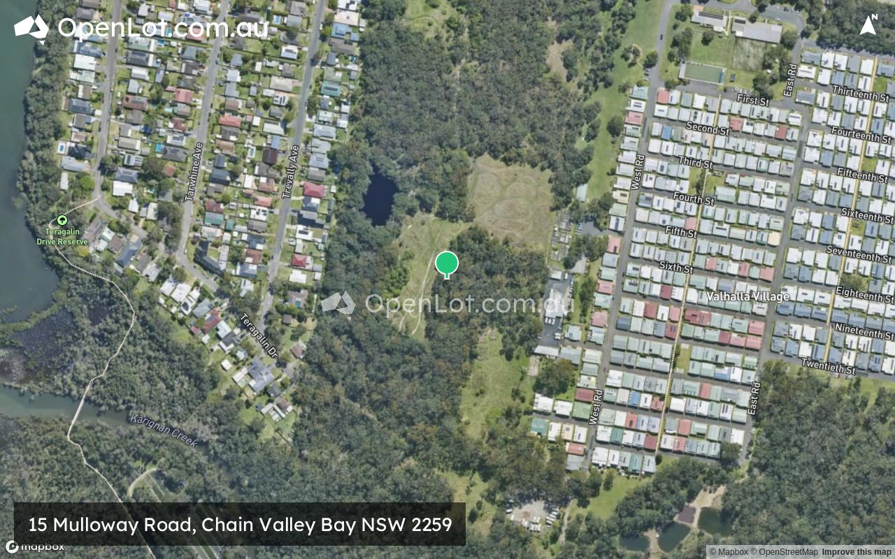
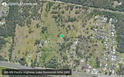
Location & Map for 15 Mulloway Road, Chain Valley Bay NSW 2259
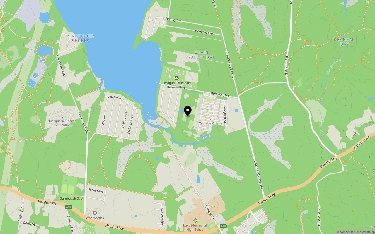
Schools near 15 Mulloway Road, Chain Valley Bay NSW 2259
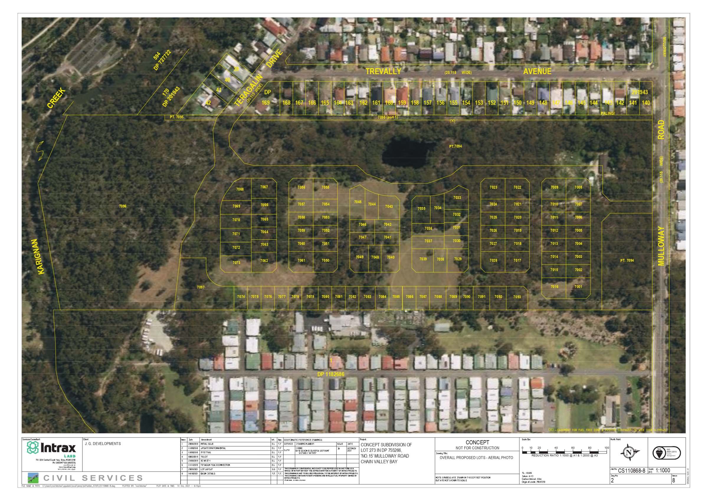
Overview
This information is estimated by the OpenLot research team. Let us know here to provide up-to-date information about this development.
| Total new homes | |
| Area Size | 16.62 hectares |
| Growth Region | Central Coast Growth Areas |
| City Council | Central Coast Council |
| Developer | N/A |
| Distance to |
Updates for 15 Mulloway Road, Chain Valley Bay
Popular Estates near 15 Mulloway Road, Chain Valley Bay


Not exactly what you're looking for? Try surrounding suburbs
Gwandalan NSW 2259
1 estate | Central Coast Council
2.9km north
Crangan Bay NSW 2259
1 estate | Central Coast Council
1.3km east
Catherine Hill Bay NSW 2281
1 estate | Lake Macquarie City Council
4.6km east
Nords Wharf NSW 2281
1 estate | Lake Macquarie City Council
3.8km north-east
Lake Munmorah NSW 2259
1 estate | Central Coast Council
3.0km south
Wyee Point NSW 2259
1 estate | Lake Macquarie City Council
6.4km west
Latest published articles


FAQs about 15 Mulloway Road, Chain Valley Bay NSW 2259
15 Mulloway Road, Chain Valley Bay NSW 2259 consists of 94 homes.
The total area for 15 Mulloway Road, Chain Valley Bay NSW 2259 is 16.62 hectares.
15 Mulloway Road, Chain Valley Bay NSW 2259 falls under Central Coast Council.
15 Mulloway Road, Chain Valley Bay NSW 2259 is 34 km south-west of Newcastle CBD.
Nearby schools for 15 Mulloway Road, Chain Valley Bay NSW 2259:
- St Brigid's Catholic College - 1.2km south
- St Brendan's Catholic Primary School - 1.3km south
- Lake Munmorah High School - 1.3km south
- Lake Munmorah Public School - 1.4km south
- Mannering Park Public School - 4.2km north-west
- Gwandalan Public School - 4.6km north