
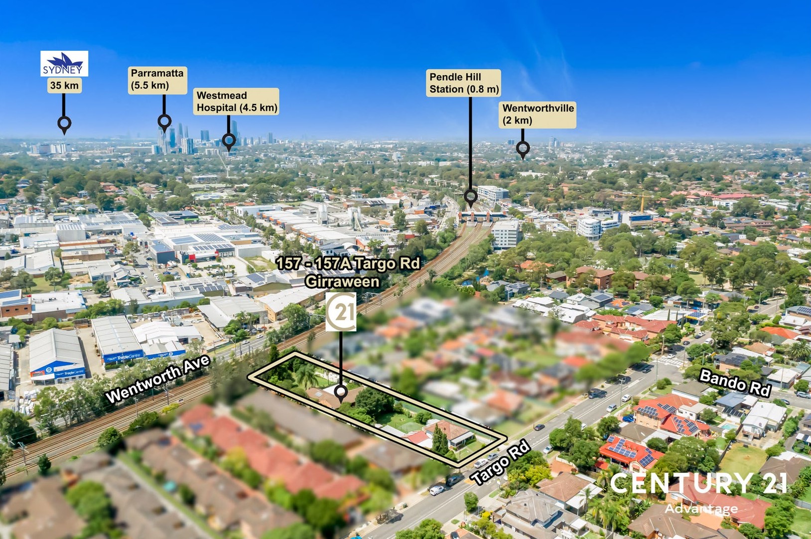
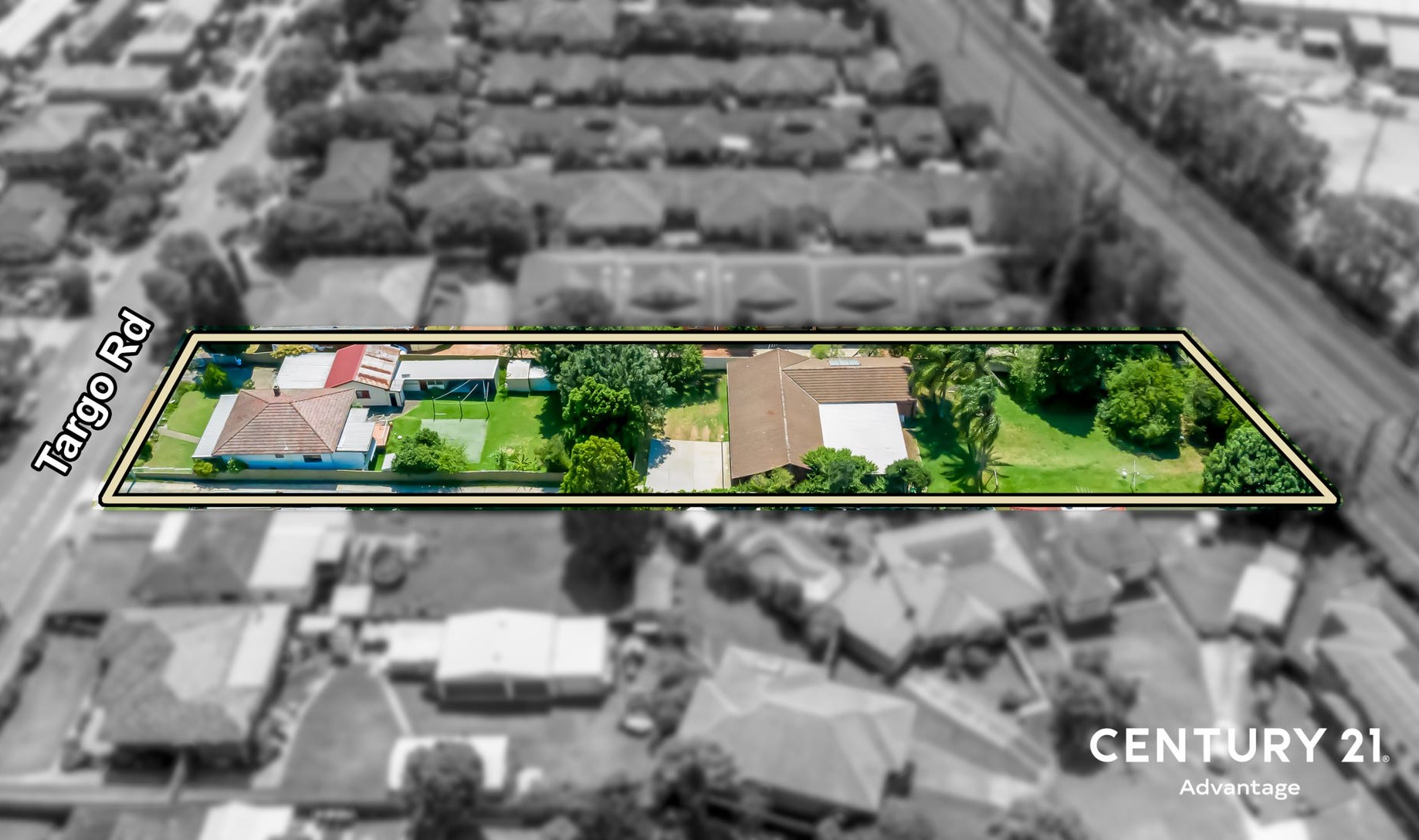
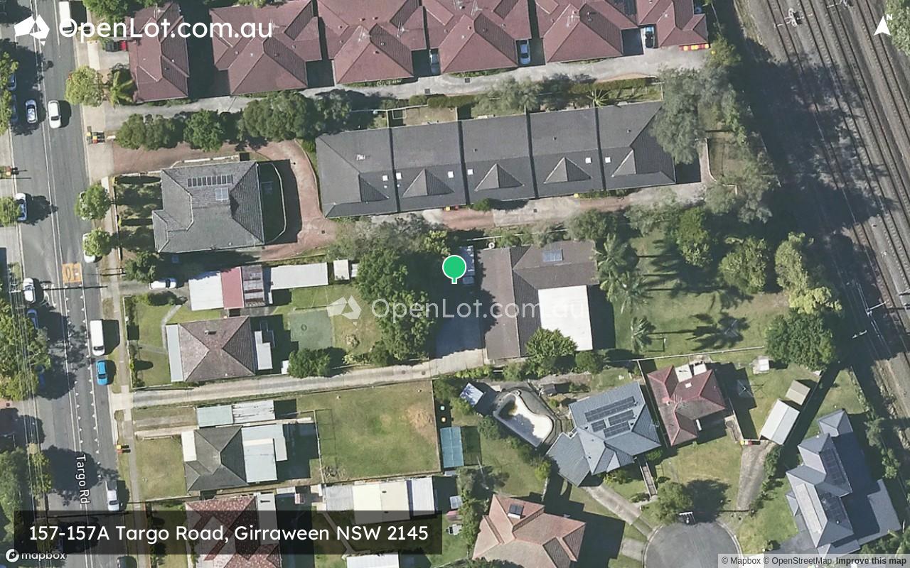
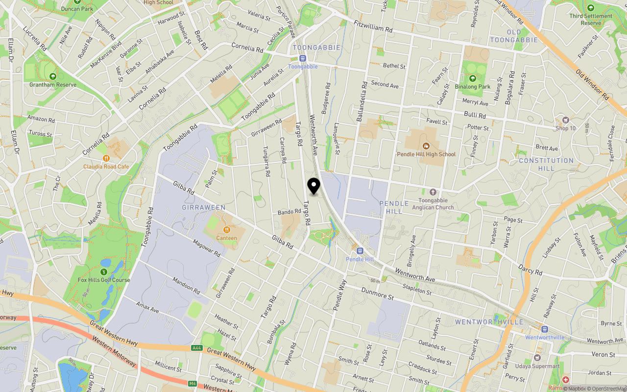
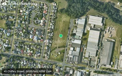
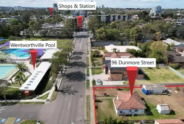
Location & Map for 157-157A Targo Road, Girraween NSW 2145
Schools near 157-157A Targo Road, Girraween NSW 2145
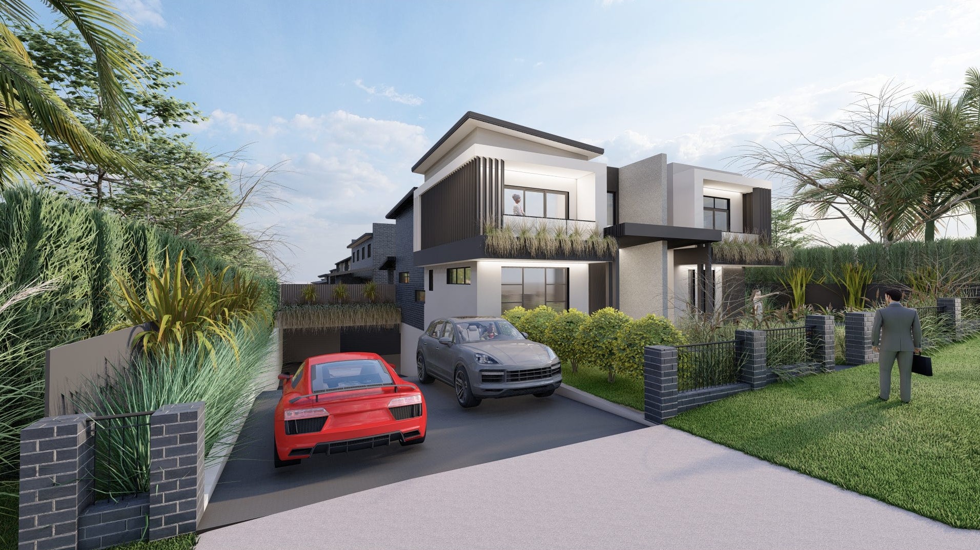
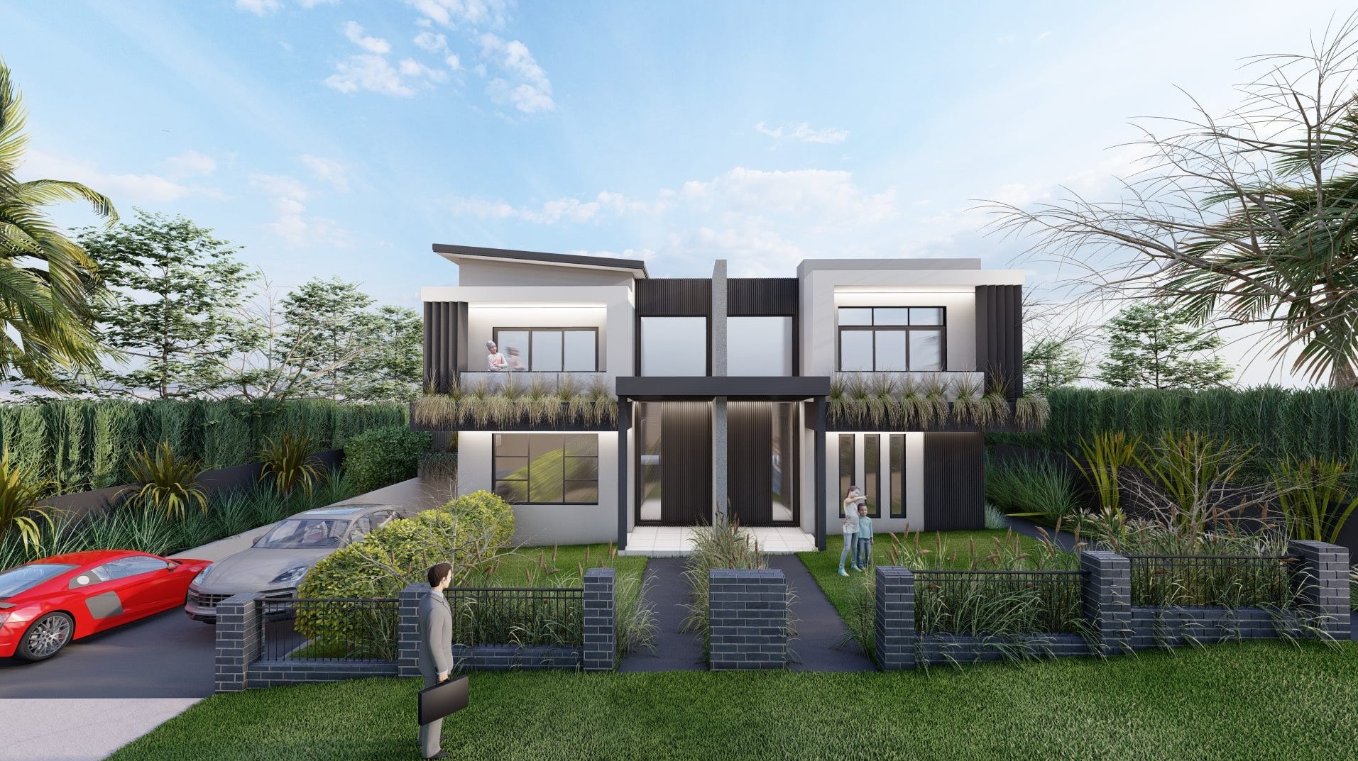
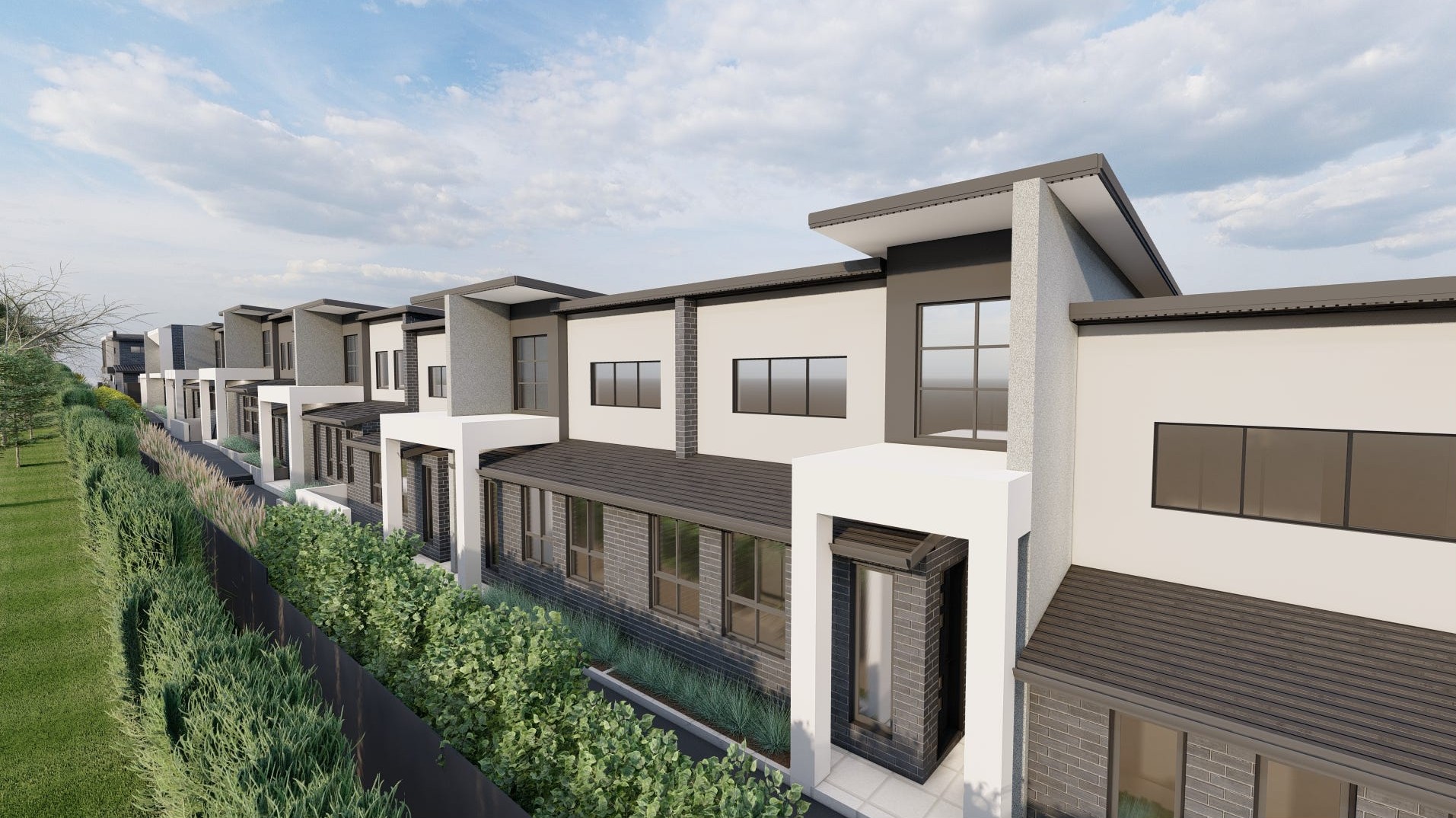
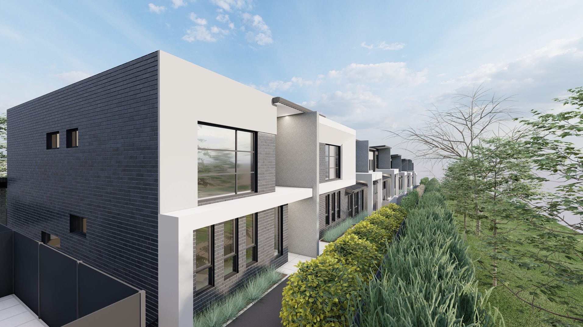
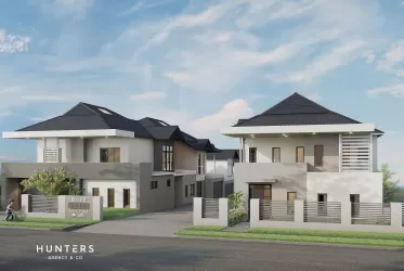
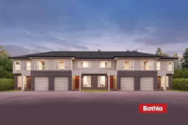
Overview
This information is estimated by the OpenLot research team. Let us know here to provide up-to-date information about this development.
| Total new homes | |
| Area Size | 0.18 hectares |
| Growth Region | Sydney North West Growth Areas |
| City Council | Cumberland City Council |
| Developer | N/A |
| Distance to |
Updates for 157-157A Targo Road, Girraween
Popular Estates near 157-157A Targo Road, Girraween


Not exactly what you're looking for? Try surrounding suburbs
Bella Vista NSW 2153
2 estates | The Hills Shire Council
6.8km north
Blacktown NSW 2148
2 estates | Blacktown City Council
6.0km north-west
Pemulwuy NSW 2145
1 estate | Cumberland City Council
3.6km south-west
Acacia Gardens NSW 2763
1 estate | Blacktown City Council
8.0km north
Wentworthville NSW 2145
1 estate | Cumberland City Council
2.4km east
Smithfield NSW 2164
2 estates | Fairfield City Council
5.4km south
Latest published articles


FAQs about 157-157A Targo Road, Girraween NSW 2145
157-157A Targo Road, Girraween NSW 2145 consists of 15 homes.
The total area for 157-157A Targo Road, Girraween NSW 2145 is 0.18 hectares.
157-157A Targo Road, Girraween NSW 2145 falls under Cumberland City Council.
157-157A Targo Road, Girraween NSW 2145 is 23 km west of Sydney CBD.
Nearby schools for 157-157A Targo Road, Girraween NSW 2145:
- Girraween Public School - 315m south-west
- St Anthony's Primary School - 611m north
- Toongabbie West Public School - 705m north-east
- Girraween High School - 783m west
- Pendle Hill High School - 956m east
- Toongabbie Christian College - 1.2km north-west