
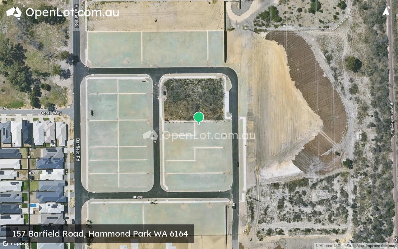
Location & Map for 157 Barfield Road, Hammond Park WA 6164
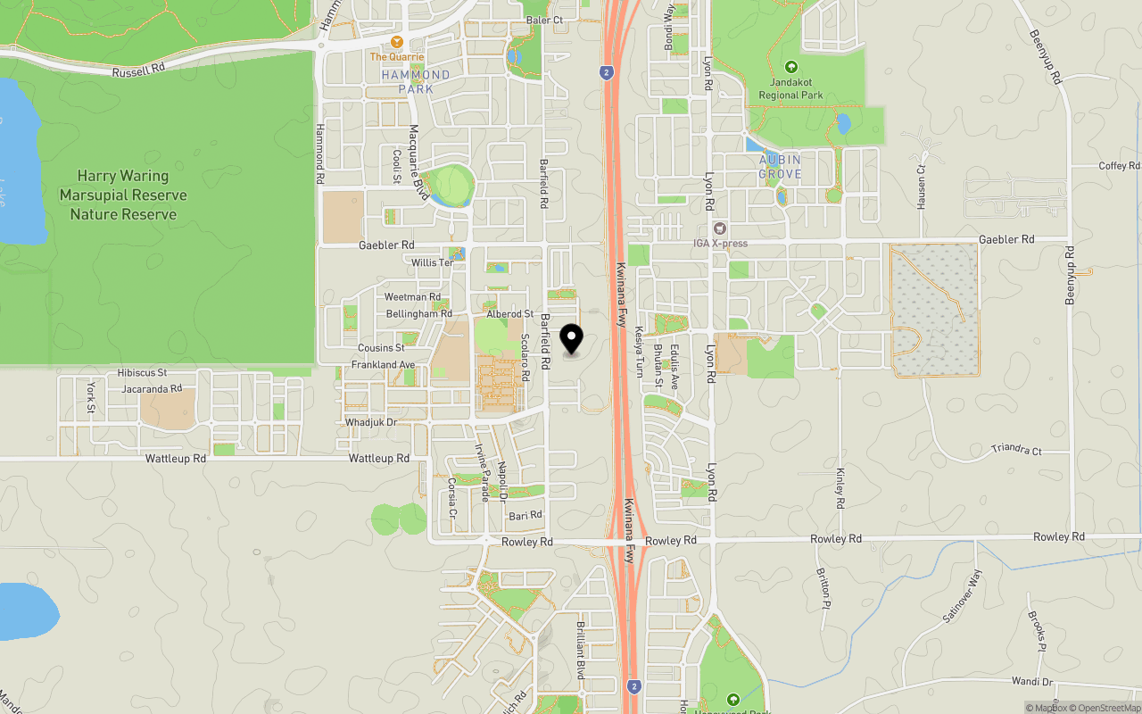
Schools near 157 Barfield Road, Hammond Park WA 6164
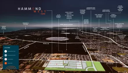
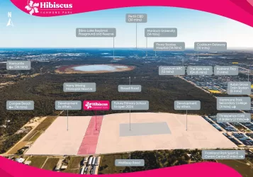
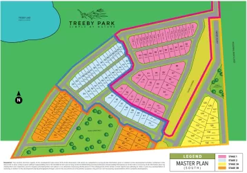
Overview
This information is estimated by the OpenLot research team. Let us know here to provide up-to-date information about this development.
| Total new homes | |
| Area Size | 4.81 hectares |
| Growth Region | Perth South West Growth Areas |
| City Council | City of Cockburn |
| Developer | N/A |
Popular Estates near 157 Barfield Road, Hammond Park


Not exactly what you're looking for? Try surrounding suburbs
Success WA 6164
7 estates | City of Cockburn
3.0km north
Cockburn Central WA 6164
4 estates | City of Cockburn
5.5km north
Beeliar WA 6164
4 estates | City of Cockburn
4.3km north-west
Mandogalup WA 6167
2 estates | City of Kwinana
2.9km south
Wandi WA 6167
4 estates | City of Kwinana
4.1km south-east
Anketell WA 6167
6 estates | City of Kwinana
6.0km south
Latest published articles


FAQs about 157 Barfield Road, Hammond Park WA 6164
157 Barfield Road, Hammond Park WA 6164 consists of 46 homes.
The total area for 157 Barfield Road, Hammond Park WA 6164 is 4.81 hectares.
157 Barfield Road, Hammond Park WA 6164 falls under City of Cockburn.
Nearby schools for 157 Barfield Road, Hammond Park WA 6164:
- Hammond Park Catholic Primary School - 584m west
- Hammond Park Secondary College - 612m north-west
- Aubin Grove Primary School - 912m east
- Hammond Park Primary School - 1.2km north-west
- Jilbup Primary School - 2.2km west
- Harmony Primary School - 2.9km north