
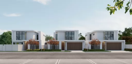
Property types for sale
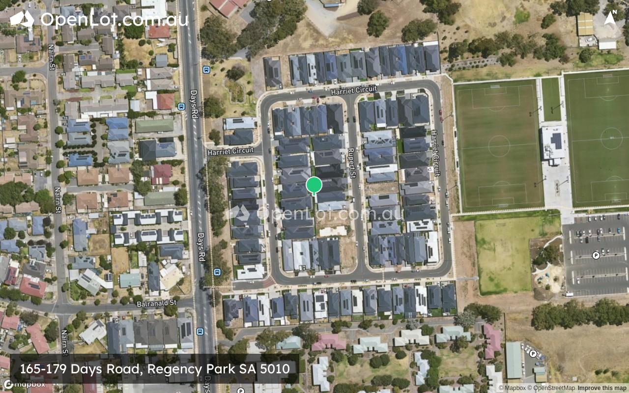
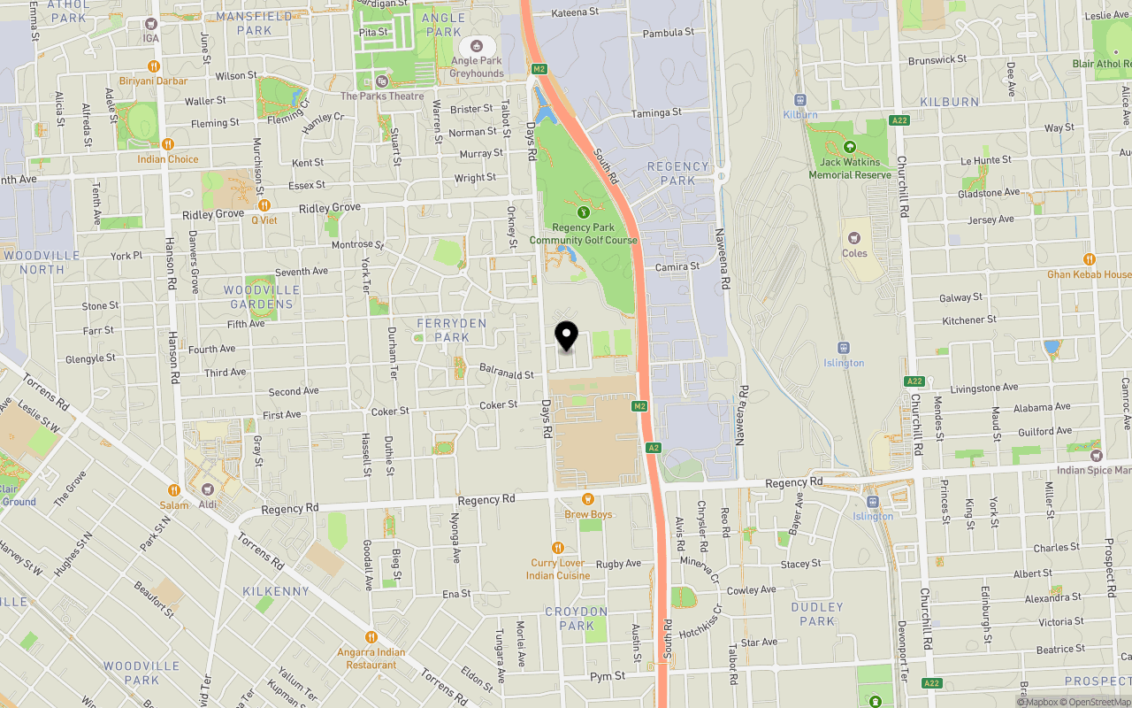
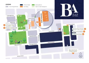
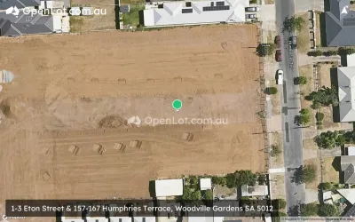
Location & Map for 165-179 Days Road, Regency Park SA 5010
Schools near 165-179 Days Road, Regency Park SA 5010
Overview
This information is estimated by the OpenLot research team. Let us know here to provide up-to-date information about this development.
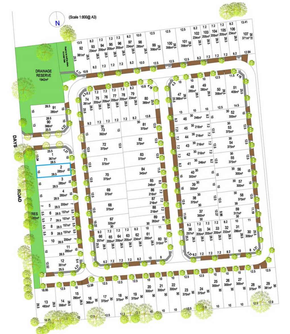
| Total new homes | |
| Area Size | 4.58 hectares |
| Growth Region | Adelaide North Growth Areas |
| City Council | City of Port Adelaide Enfield |
| Developer | N/A |
| Project Marketer | Harcourts Pilgrim |
| Distance to |
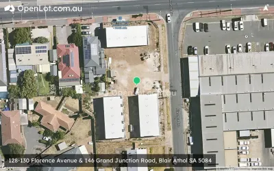
Popular Estates near 165-179 Days Road, Regency Park


Not exactly what you're looking for? Try surrounding suburbs
Mansfield Park SA 5012
1 estate | City of Port Adelaide Enfield
1.5km north-west
Angle Park SA 5010
1 estate | City of Port Adelaide Enfield
865m north-west
Blair Athol SA 5084
4 estates | City of Port Adelaide Enfield
2.6km east
Kilburn SA 5084
1 estate | City of Port Adelaide Enfield
1.8km east
Woodville Gardens SA 5012
2 estates | City of Port Adelaide Enfield
1.3km south-west
Woodville Park SA 5011
1 estate | City of Charles Sturt
2.6km south-west
Latest published articles


FAQs about 165-179 Days Road, Regency Park SA 5010
165-179 Days Road, Regency Park SA 5010 consists of 100 homes.
The total area for 165-179 Days Road, Regency Park SA 5010 is 4.58 hectares.
165-179 Days Road, Regency Park SA 5010 falls under City of Port Adelaide Enfield.
165-179 Days Road, Regency Park SA 5010 is 7 km north of Adelaide CBD.
Harcourts Pilgrim is the project marketer for 165-179 Days Road, Regency Park SA 5010.
Nearby schools for 165-179 Days Road, Regency Park SA 5010:
- Challa Gardens Primary School - 1.4km south-west
- St Margaret Mary's School - 1.5km south
- Woodville Gardens School Birth-6 - 1.6km north-west
- Adelaide Secondary School of English - 1.9km south
- St Brigid's School - 2.1km north-east
- Whitefriars School - 2.1km south-west