
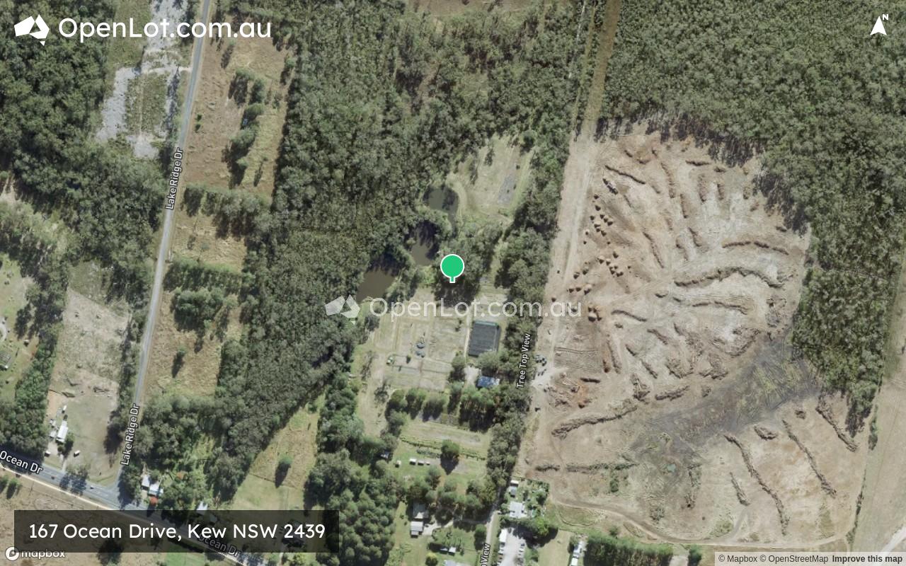
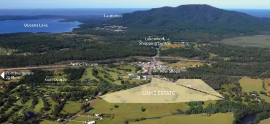
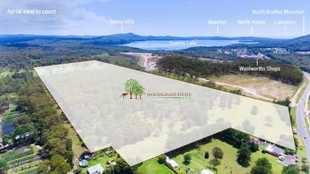
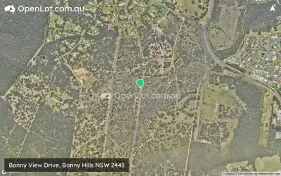
Location & Map for 167 Ocean Drive, Kew NSW 2439
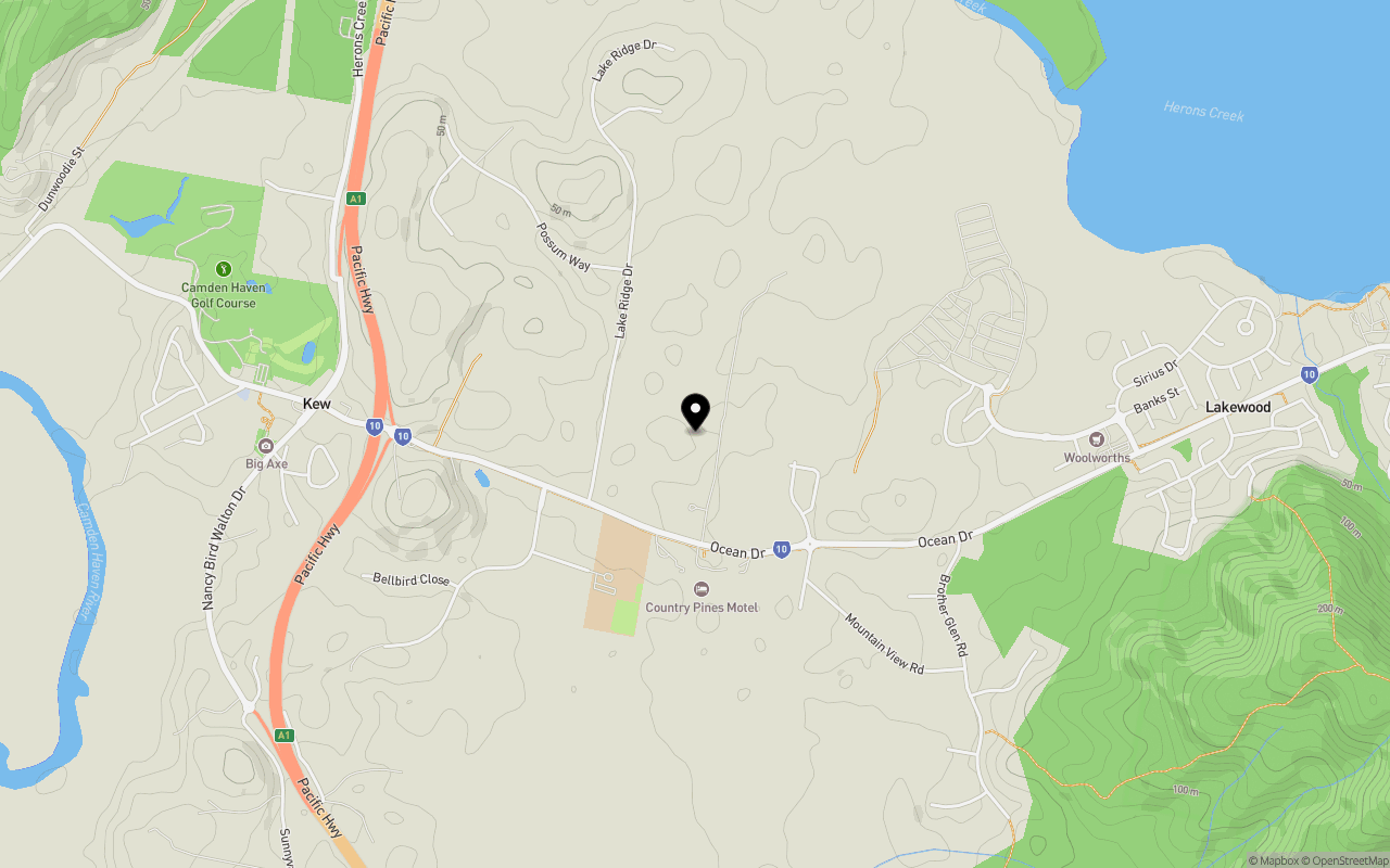
Schools near 167 Ocean Drive, Kew NSW 2439
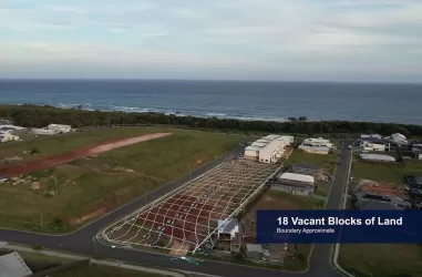
167 Ocean Drive, Kew NSW 2439 Video
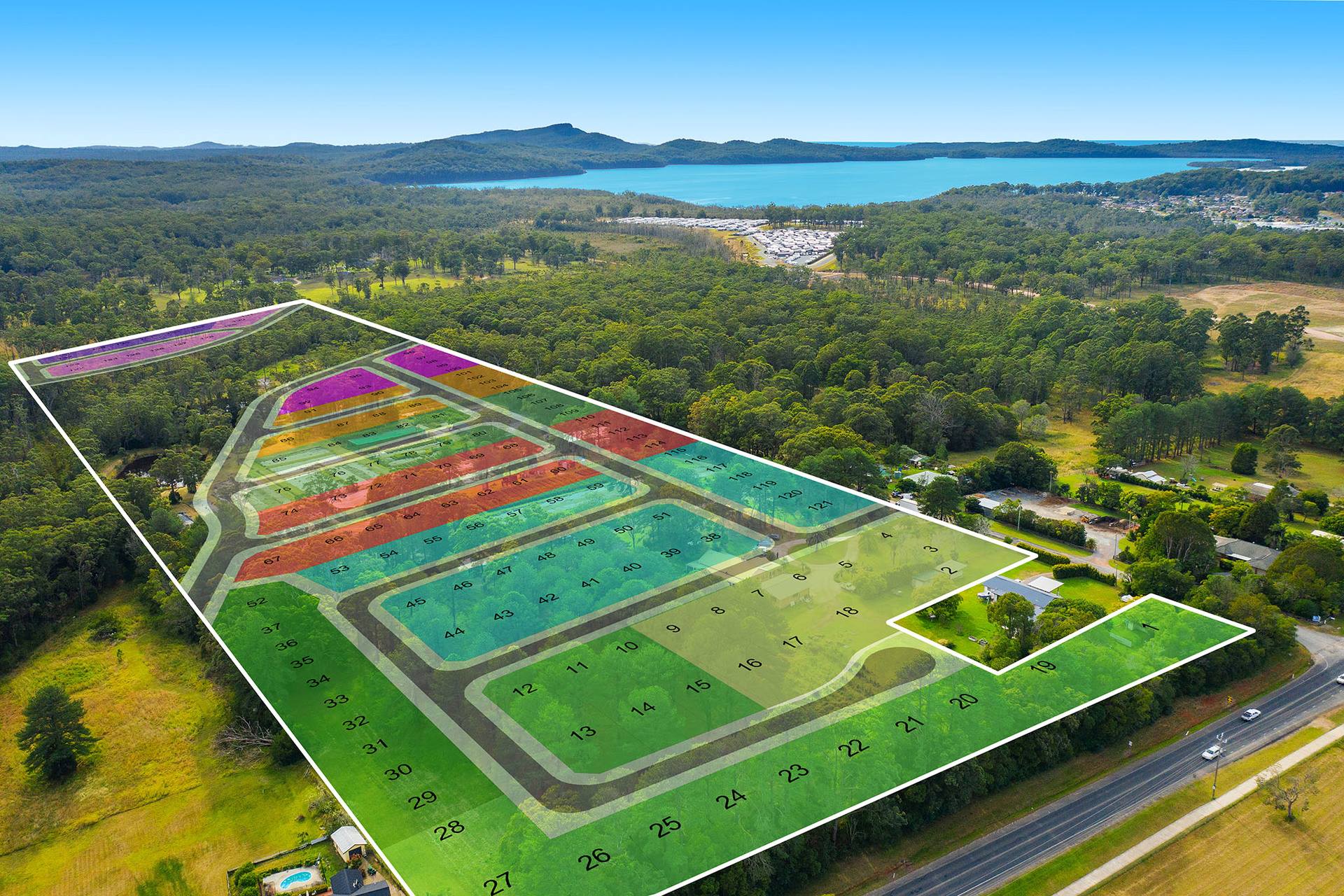
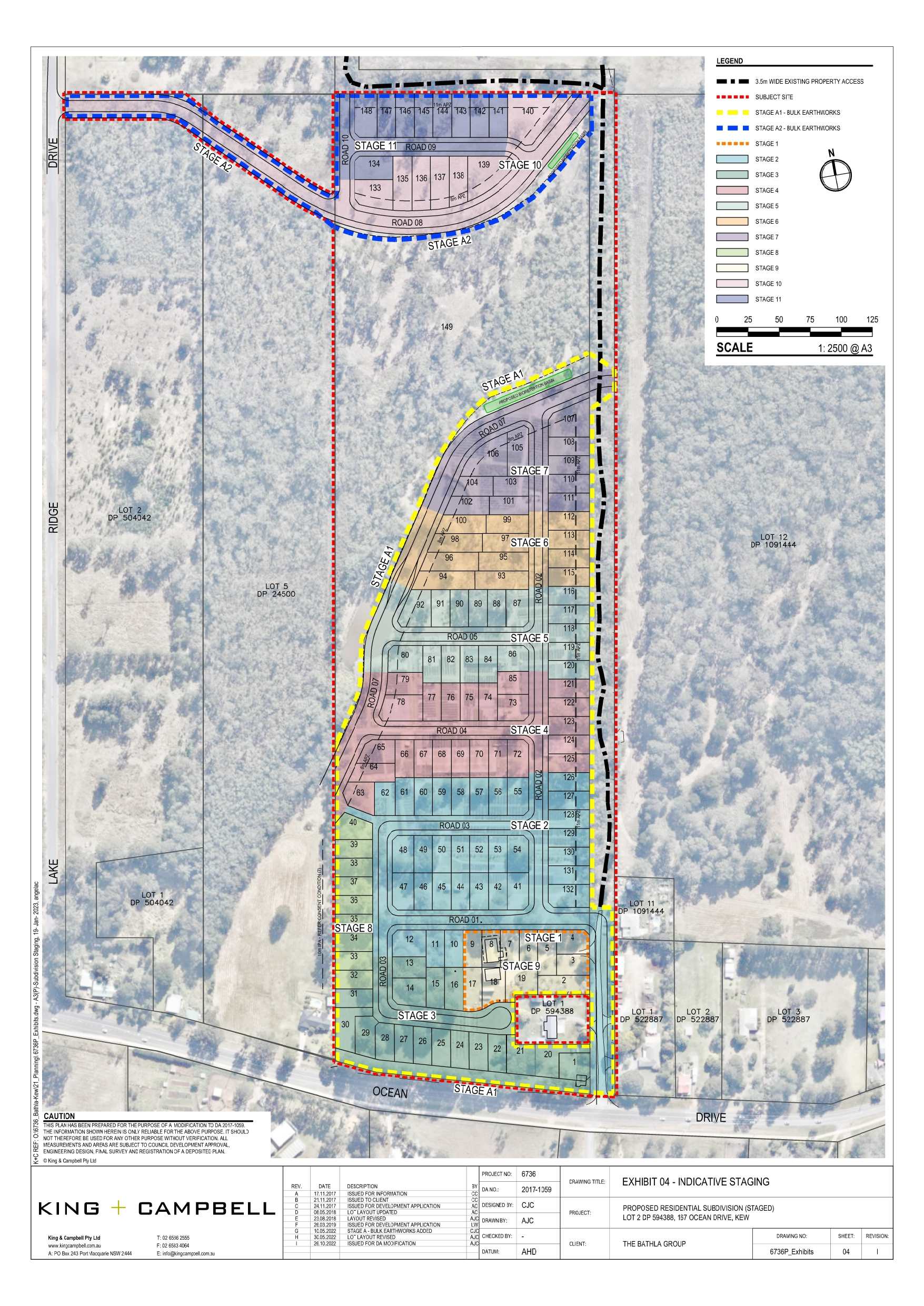
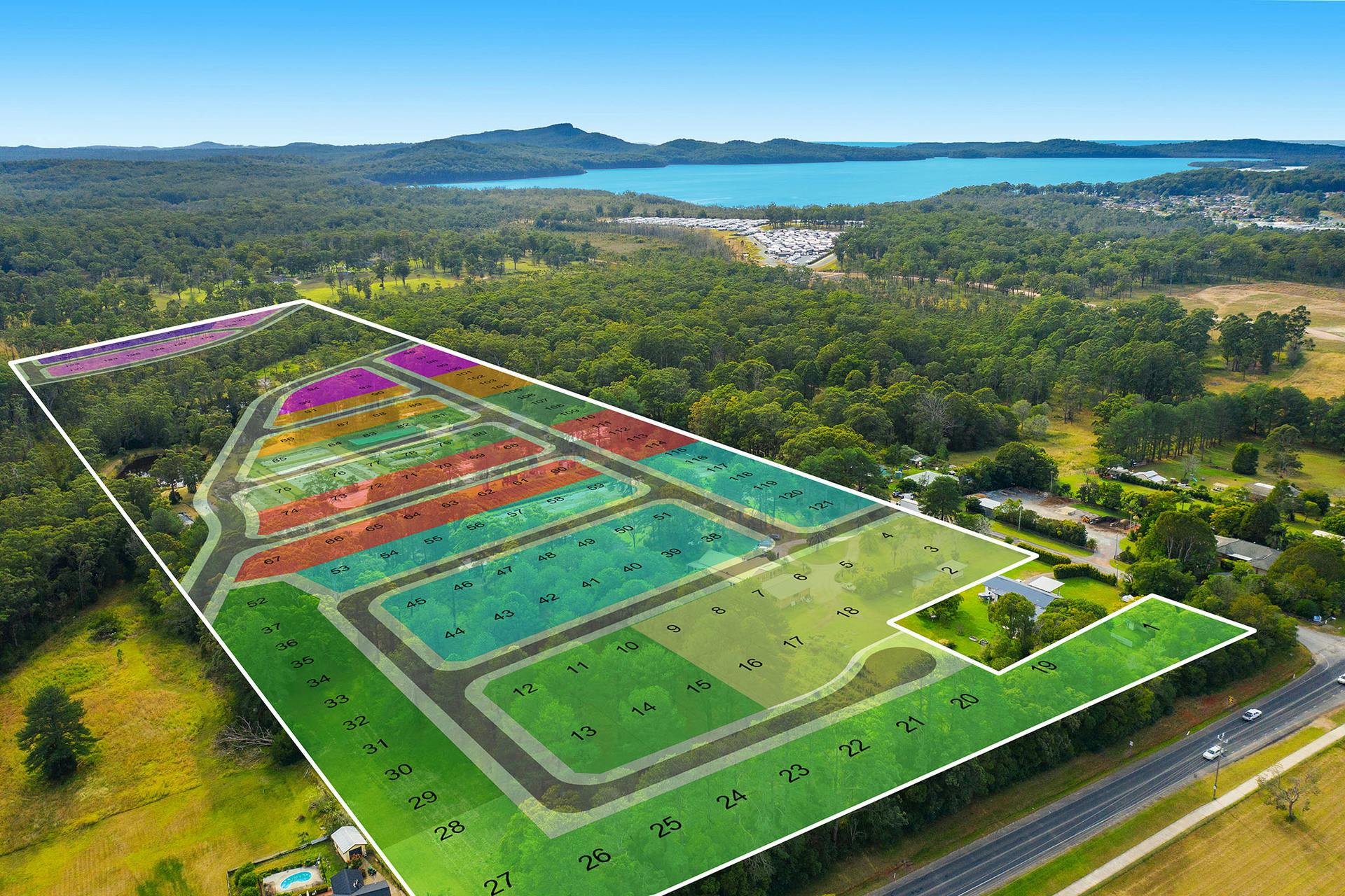
Overview
This information is estimated by the OpenLot research team. Let us know here to provide up-to-date information about this development.
| Total new homes | |
| Area Size | 15.85 hectares |
| City Council | Port Macquarie-Hastings Council |
| Developer | N/A |
Updates for 167 Ocean Drive, Kew
Land Price Trend in Kew NSW 2439
Below shows the price trend from vacant land sales recorded in Kew NSW 2439.
The data and information provided by Terralytics (Aust) Pty Ltd (Terralytics Data) is general in nature and is not intended to constitute professional advice. Read more
It should not be relied upon as a substitute for legal, financial, valuation, or other specialist advice relevant to your specific circumstances.
Terralytics uses commercially reasonable endeavours to ensure the Terralytics Data is current and accurate. However, as the Terralytics Data incorporates information sourced from third parties, Terralytics makes no representation or warranty — express or implied — as to its accuracy, completeness, or currency. To the maximum extent permitted by applicable law, Terralytics excludes all liability for any loss or damage (including consequential loss) arising out of or in connection with reliance on the Terralytics Data, whether arising in contract, tort (including negligence), statute, or otherwise.
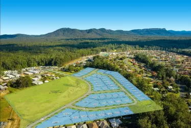
Popular Estates near 167 Ocean Drive, Kew


Not exactly what you're looking for? Try surrounding suburbs
Bonny Hills NSW 2445
2 estates | Port Macquarie-Hastings Council
13.0km north-east
Lake Cathie NSW 2445
6 estates | Port Macquarie-Hastings Council
17.4km north-east
Wauchope NSW 2446
1 estate | Port Macquarie-Hastings Council
21.1km north
Beechwood NSW 2446
2 estates | Port Macquarie-Hastings Council
24.5km north
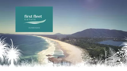
Dunbogan NSW 2443
1 estate | Port Macquarie-Hastings Council
10.7km east
Harrington NSW 2427
1 estate | MidCoast Council
23.6km south
Latest published articles


FAQs about 167 Ocean Drive, Kew NSW 2439
The total area for 167 Ocean Drive, Kew NSW 2439 is 15.85 hectares.
167 Ocean Drive, Kew NSW 2439 falls under Port Macquarie-Hastings Council.
Nearby schools for 167 Ocean Drive, Kew NSW 2439:
- Camden Haven High School - 600m south-west
- Kendall Public School - 3.5km west
- St Joseph's Primary School - 5.1km east
- Laurieton Public School - 5.8km east
- Herons Creek Public School - 6.1km north
- North Haven Public School - 7.6km east