
Property types for sale
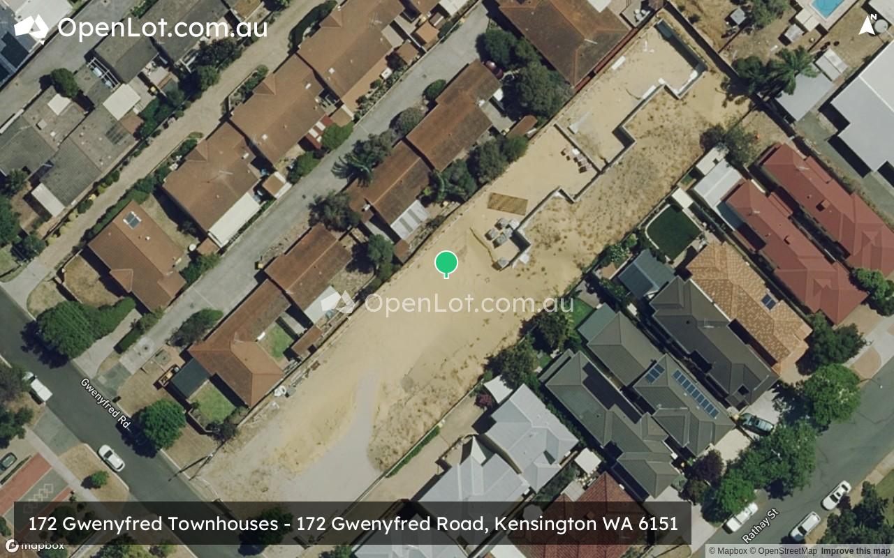
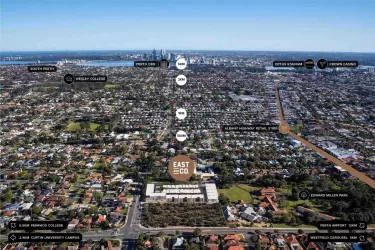
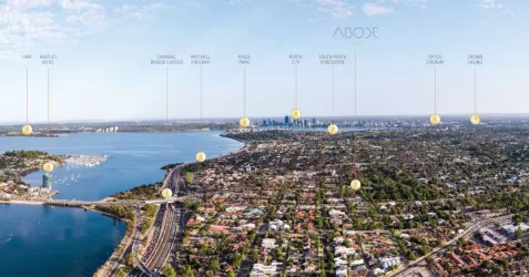
Location & Map for 172 Gwenyfred Townhouses - Kensington

Schools near 172 Gwenyfred Townhouses - Kensington
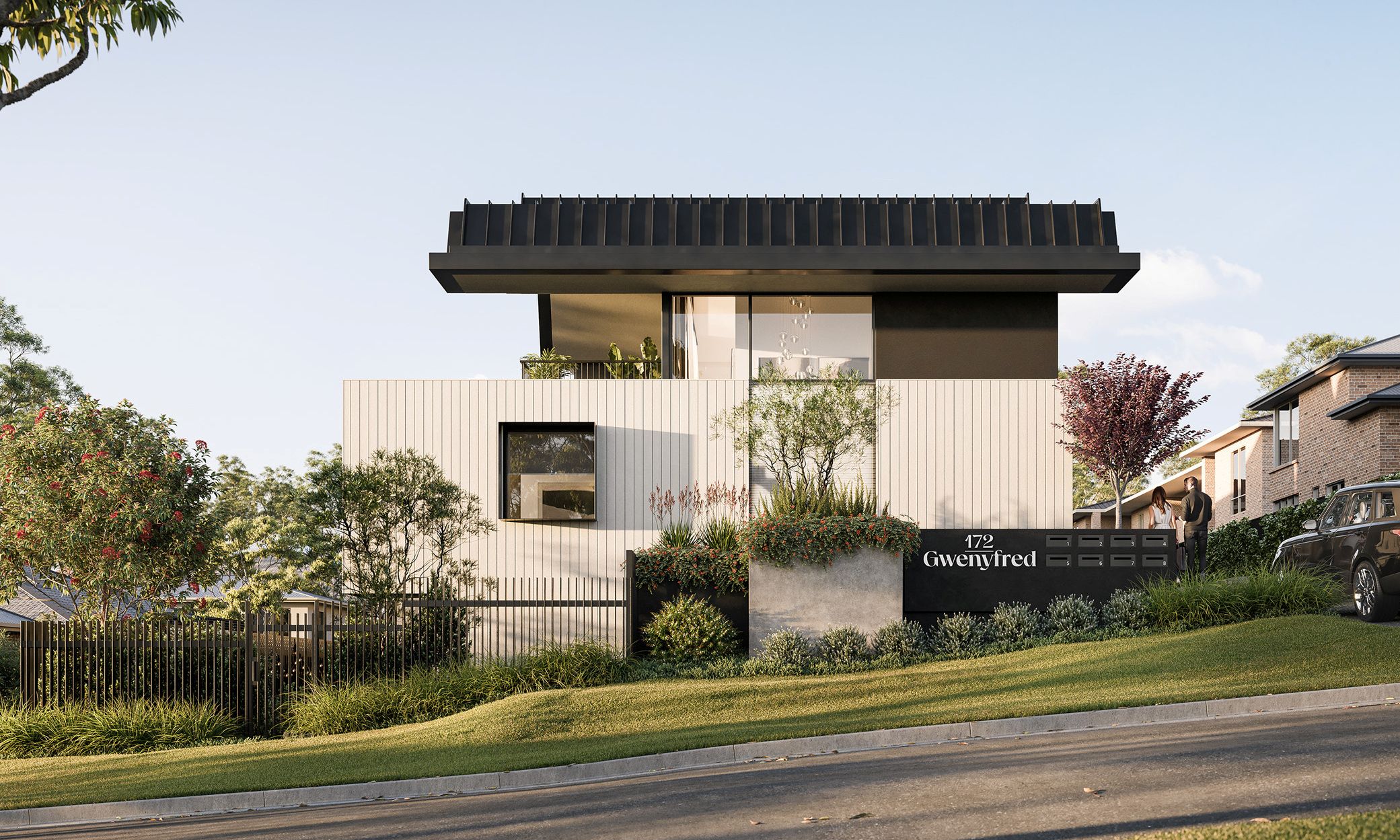
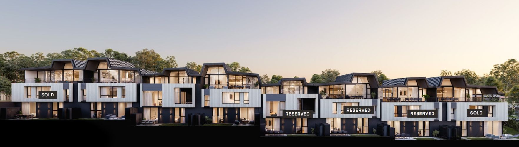
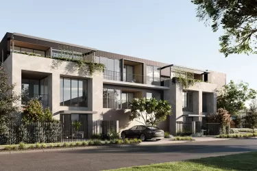
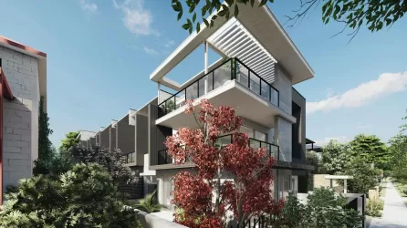
Overview
This information is estimated by the OpenLot research team. Let us know here to provide up-to-date information about this development.
| Total new homes | |
| Area Size | 0.19 hectares |
| Growth Region | Perth South East Growth Areas |
| City Council | City of South Perth |
| Developer | West Kensington Developments |
| Project Marketer | The Agency Projects |
| Creative Agency | Brandform |
Updates for 172 Gwenyfred Townhouses - Kensington
Popular Estates near 172 Gwenyfred Townhouses - Kensington


Not exactly what you're looking for? Try surrounding suburbs
Victoria Park WA 6100
1 estate | Town of Victoria Park
1.1km north-east
Como WA 6152
5 estates | City of South Perth
2.5km south-west
Waterford WA 6152
2 estates | City of South Perth
3.4km south
East Victoria Park WA 6101
2 estates | Town of Victoria Park
1.7km east
Burswood WA 6100
1 estate | Town of Victoria Park
3.3km north
Bentley WA 6102
1 estate | City of Canning
3.5km south-east
Latest published articles


FAQs about 172 Gwenyfred Townhouses - Kensington
West Kensington Developments is the developer behind 172 Gwenyfred Townhouses - Kensington.
172 Gwenyfred Townhouses - Kensington consists of 8 homes.
The total area for 172 Gwenyfred Townhouses - Kensington is 0.19 hectares.
172 Gwenyfred Townhouses - Kensington falls under City of South Perth.
The Agency Projects is the project marketer for 172 Gwenyfred Townhouses - Kensington.
Nearby schools for 172 Gwenyfred Townhouses - Kensington:
- Kent Street Senior High School - 254m south-east
- Kensington Secondary School - 790m south-west
- Kensington Primary School - 903m west
- Ursula Frayne Catholic College - 1.3km north-east
- Regent College - 1.3km north
- Victoria Park Primary School - 1.3km north