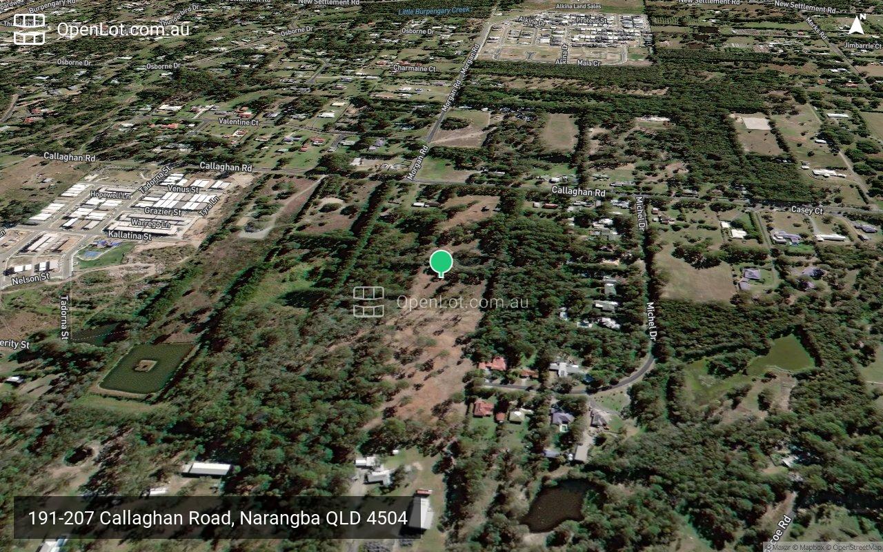
191-207 Callaghan Road, Narangba QLD 4504
This information is estimated by the OpenLot research team. Let us know here to provide up-to-date information about this development.
| Total new homes | 163 |
| Area size | 13.80 hectares |
| Growth Region | Greater Brisbane Growth Areas |
| City council | Moreton Bay Regional Council |
| Developer | Trask Land |
| Distance to | Brisbane Airport - 27 km north-west Brisbane CBD - 31 km north |
Land for Sale, House and Land Packages:
Popular Estates near 191-207 Callaghan Road, Narangba


Updates for 191-207 Callaghan Road, Narangba
Facebook updates:
Submit the Facebook page for 191-207 Callaghan Road, Narangba.
Related news:
The Narangba site is about 34 kilometres north of Brisbane's CBD. Trask Land is paying $8.7 million for a 10.8 hectare residential development site in north Brisbane’s fast growing Moreton Bay region. The Narangba holding,

DEVELOPMENT SITE IN HIGH GROWTH CORRIDOR JLL Metro Sales & Investments Queensland has the exclusive pleasure to offer for sale 191 &nda

Missing articles? Send us a link here.
Location & Map for 191-207 Callaghan Road, Narangba
Vacancy Rate in Narangba QLD 4504
View full vacancy rate history in Narangba QLD 4504 via SQM Research.
Schools near 191-207 Callaghan Road, Narangba
Here are 6 schools near 191-207 Callaghan Road, Narangba:
Prep-6 Government Primary School
Prep-6 Government Primary School
7-12 Independent Special School - School Head Campus
7-12 Government Secondary School
7-12 Government Secondary School
Prep-6 Government Primary School
Reviews & Comments on 191-207 Callaghan Road, Narangba
Estate Brochure, Masterplan, Engineering Plan, Plan of Subdivision (POS), Design Guidelines
FAQs about 191-207 Callaghan Road, Narangba
View all estates from Trask Land
- Narangba State School - 1.6km south
- Jinibara State School - 1.8km north-west
- Arethusa College - 2.6km north-east
- Burpengary State Secondary College - 2.6km north-east
- Narangba Valley State High School - 3.0km north-west
- Narangba Valley State School - 3.7km north-west
Popular Estates near 191-207 Callaghan Road, Narangba
Latest New Home Articles for You

10/May/2024
13
content here.
10/May/2024
14
Content here.
10/May/2024
15
Content here.
10/May/2024
16
Content here.
10/May/2024
17
Content here.
10/May/2024
18
Content here.
10/May/2024
19
Content here.

10/May/2024
20
Lorem ipsum dolor sit amet, consectetur adipiscing elit. Etiam turpis era...
10/May/2024
21
Content here.