
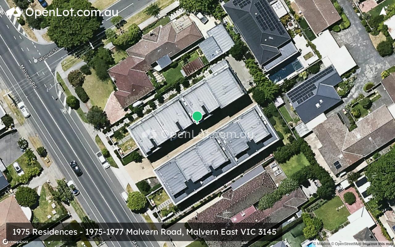
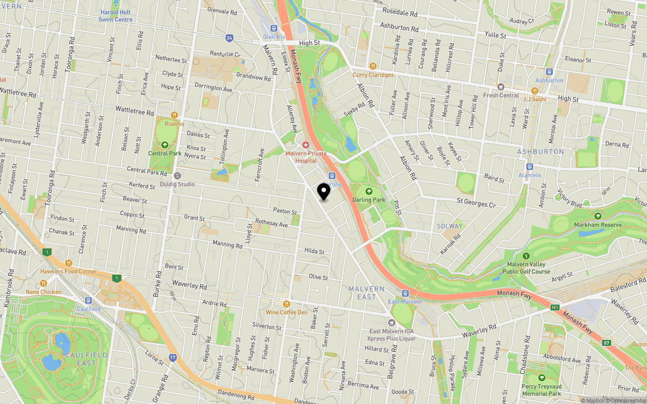
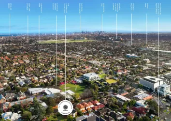
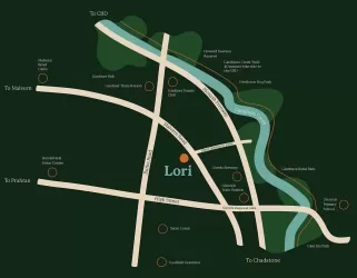
Location & Map for 1975 Residences - Malvern East
Schools near 1975 Residences - Malvern East
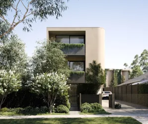
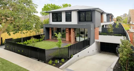
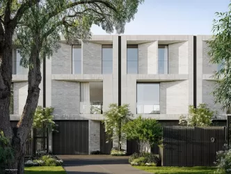
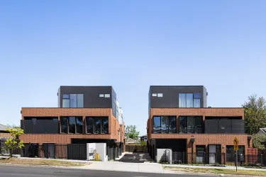
Overview
This information is estimated by the OpenLot research team. Let us know here to provide up-to-date information about this development.
| Total new homes | |
| Area Size | 0.15 hectares |
| Growth Region | Melbourne South East Growth Corridor |
| City Council | Stonnington City Council |
| Developer | BHC Property |
| Project Marketer | Marshall White Projects |
| Creative Agency | Seesaw Studio |
| Distance to |
Updates for 1975 Residences - Malvern East

Popular Estates near 1975 Residences - Malvern East

Not exactly what you're looking for? Try surrounding suburbs
Glen Iris VIC 3146
5 estates | Stonnington City Council
2.4km north
Murrumbeena VIC 3163
3 estates | Glen Eira City Council
2.1km south
Hughesdale VIC 3166
1 estate | Monash City Council
2.7km south-east
Carnegie VIC 3163
1 estate | Glen Eira City Council
1.7km south
Ashburton VIC 3147
1 estate | Boroondara City Council
2.4km north-east
Caulfield VIC 3162
1 estate | Glen Eira City Council
2.7km west
Latest published articles


FAQs about 1975 Residences - Malvern East
BHC Property is the developer behind 1975 Residences - Malvern East.
1975 Residences - Malvern East consists of 9 homes.
The total area for 1975 Residences - Malvern East is 0.15 hectares.
1975 Residences - Malvern East falls under Stonnington City Council.
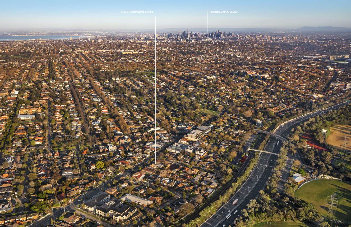
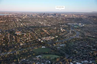
1975 Residences - Malvern East is 11 km south-east of Melbourne CBD.
Marshall White Projects is the project marketer for 1975 Residences - Malvern East.
Nearby schools for 1975 Residences - Malvern East:
- Lloyd Street Primary School - 569m west
- The Currajong School - 614m south
- St Mary's School - 855m west
- Solway Primary School - 971m east
- Glen Iris Primary School - 1.2km north
- Korowa Anglican Girls' School - 1.2km north-west