
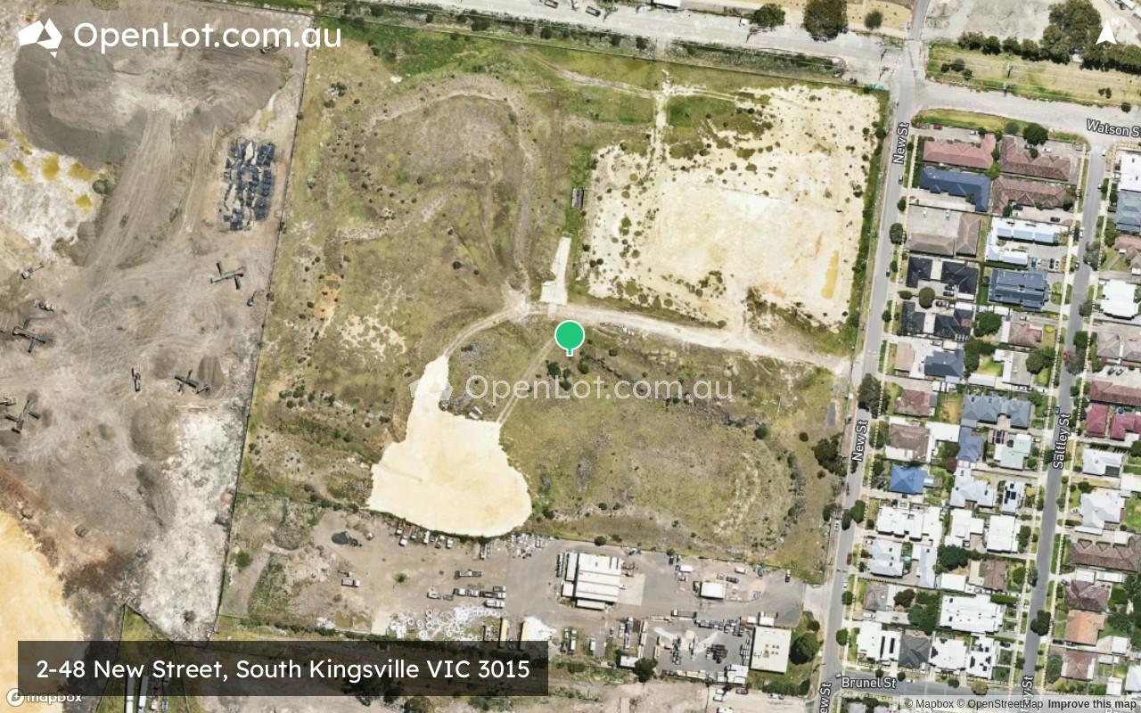
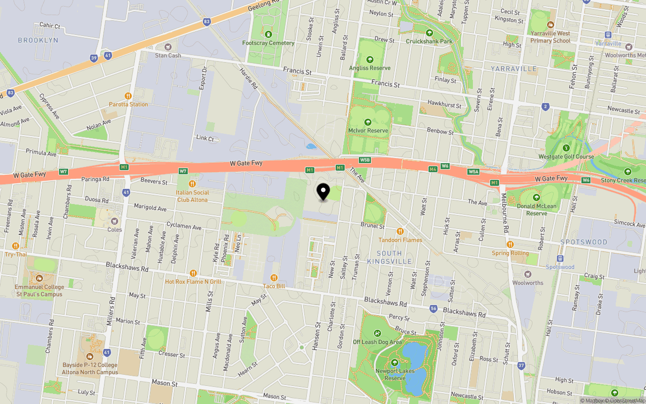
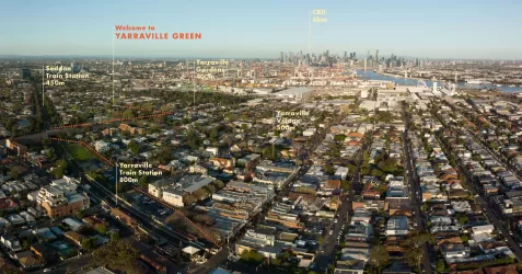
Location & Map for 2-48 New Street, South Kingsville VIC 3015
Schools near 2-48 New Street, South Kingsville VIC 3015
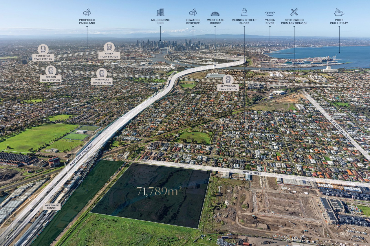
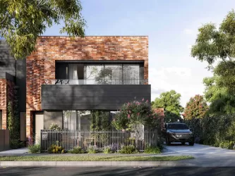
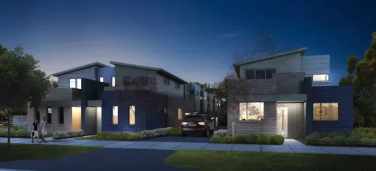
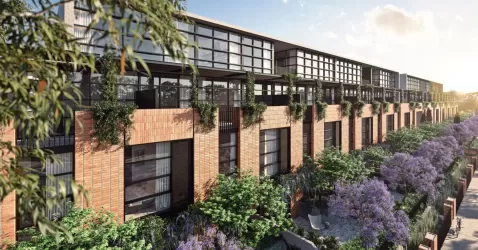
Overview
This information is estimated by the OpenLot research team. Let us know here to provide up-to-date information about this development.
| Total new homes | |
| Area Size | 7.21 hectares |
| Growth Region | Melbourne West Growth Corridor |
| City Council | Hobsons Bay City Council |
| Developer | N/A |
| Distance to |
Updates for 2-48 New Street, South Kingsville

Popular Estates near 2-48 New Street, South Kingsville

Not exactly what you're looking for? Try surrounding suburbs
Yarraville VIC 3013
3 estates | Maribyrnong City Council
1.3km north
Williamstown VIC 3016
2 estates | Hobsons Bay City Council
3.6km south
West Footscray VIC 3012
2 estates | Maribyrnong City Council
3.1km north
Williamstown North VIC 3016
1 estate | Hobsons Bay City Council
2.6km south
Newport VIC 3015
1 estate | Hobsons Bay City Council
1.8km south-east
Spotswood VIC 3015
1 estate | Hobsons Bay City Council
1.3km east
Latest published articles


FAQs about 2-48 New Street, South Kingsville VIC 3015
2-48 New Street, South Kingsville VIC 3015 consists of 305 homes.
The total area for 2-48 New Street, South Kingsville VIC 3015 is 7.21 hectares.
2-48 New Street, South Kingsville VIC 3015 falls under Hobsons Bay City Council.
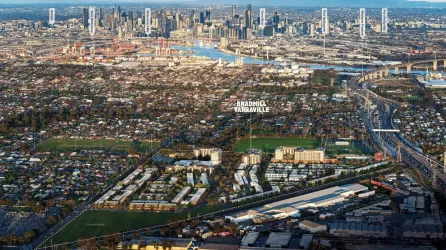
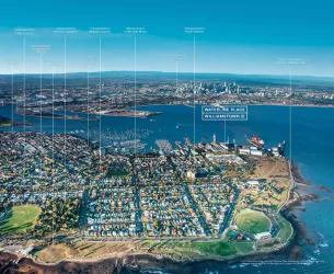
2-48 New Street, South Kingsville VIC 3015 is 9 km west of Melbourne CBD.
Nearby schools for 2-48 New Street, South Kingsville VIC 3015:
- Wembley Primary School - 1.1km north-east
- St Margaret Mary's School - 1.1km east
- Spotswood Primary School - 1.5km east
- Newport Lakes Primary School - 1.7km south-east
- Annunciation School - 1.7km north-west
- Kingsville Primary School - 1.8km north-east