
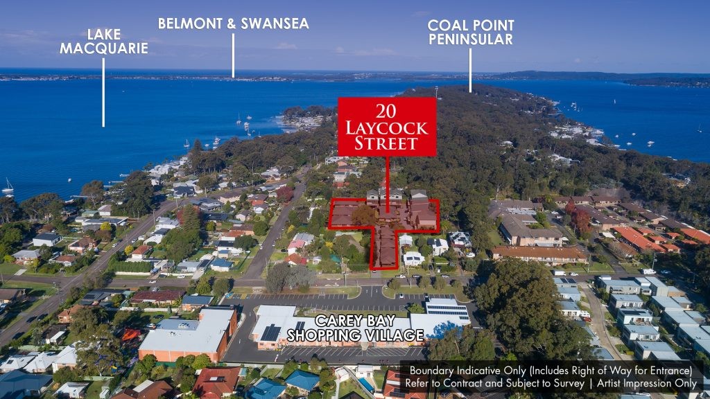
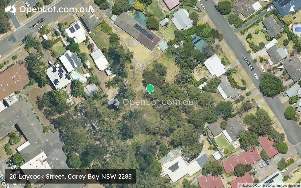
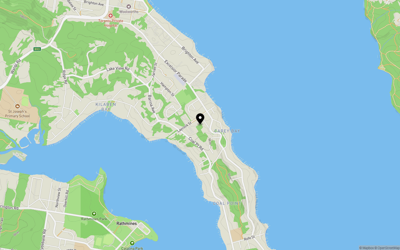
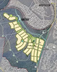
Location & Map for 20 Laycock Street, Carey Bay NSW 2283
Schools near 20 Laycock Street, Carey Bay NSW 2283
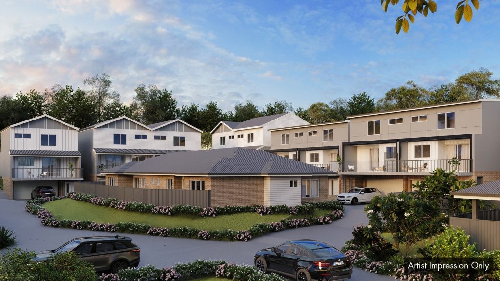
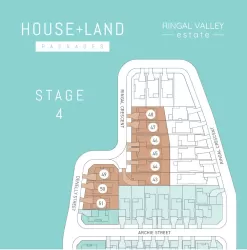
Overview
This information is estimated by the OpenLot research team. Let us know here to provide up-to-date information about this development.
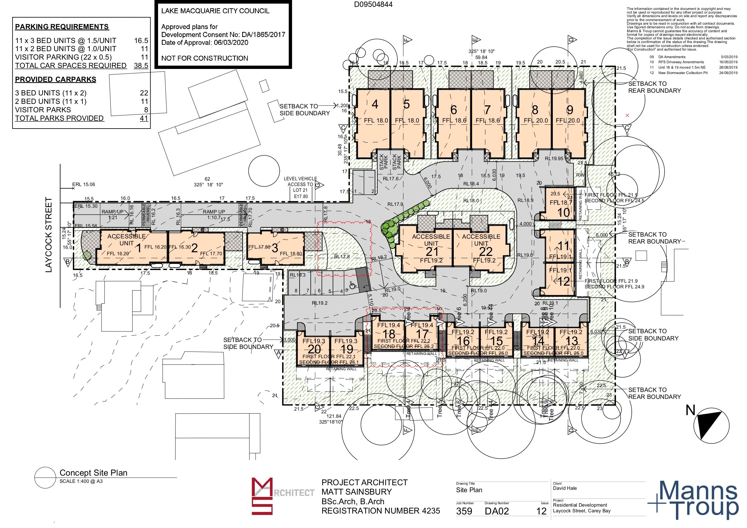
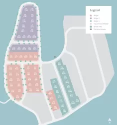
| Total new homes | |
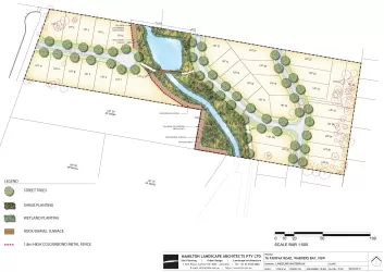
| Area Size | 0.59 hectares |
| Growth Region | Greater Newcastle Growth Areas (The Hunter Region) |
| City Council | Lake Macquarie City Council |
| Developer | N/A |
| Distance to |
Updates for 20 Laycock Street, Carey Bay

Popular Estates near 20 Laycock Street, Carey Bay


Not exactly what you're looking for? Try surrounding suburbs
Fennell Bay NSW 2283
1 estate | Lake Macquarie City Council
5.0km north
Speers Point NSW 2284
1 estate | Lake Macquarie City Council
7.2km north
Mount Hutton NSW 2290
4 estates | Lake Macquarie City Council
7.9km north-east
Jewells NSW 2280
1 estate | Lake Macquarie City Council
7.5km east
Warners Bay NSW 2282
2 estates | Lake Macquarie City Council
7.4km north-east
Floraville NSW 2280
1 estate | Lake Macquarie City Council
5.7km east
Latest published articles


FAQs about 20 Laycock Street, Carey Bay NSW 2283
20 Laycock Street, Carey Bay NSW 2283 consists of 22 homes.
The total area for 20 Laycock Street, Carey Bay NSW 2283 is 0.59 hectares.
20 Laycock Street, Carey Bay NSW 2283 falls under Lake Macquarie City Council.
20 Laycock Street, Carey Bay NSW 2283 is 20 km south-west of Newcastle CBD.
Nearby schools for 20 Laycock Street, Carey Bay NSW 2283:
- Coal Point Public School - 1.5km south
- Rathmines Public School - 2.2km south-west
- St Joseph's Primary School - 2.3km west
- Toronto Public School - 2.4km north-west
- Toronto High School - 3.1km north-west
- Biraban Public School - 3.5km north-west