
Property types for sale
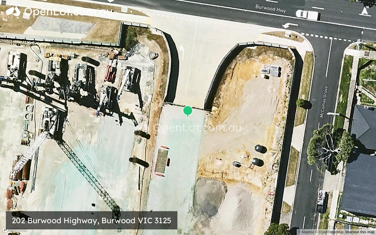
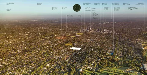
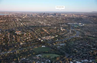
Location & Map for 202 Burwood Highway, Burwood VIC 3125
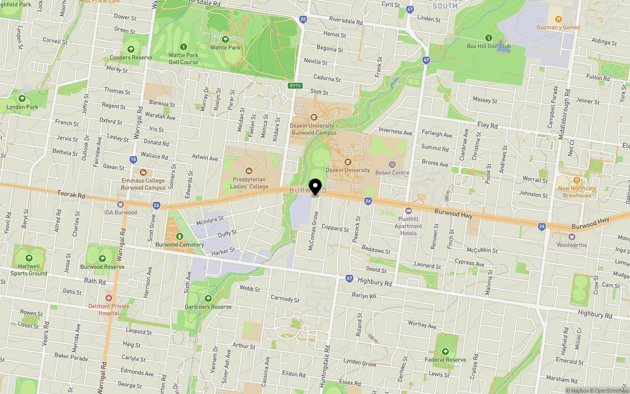
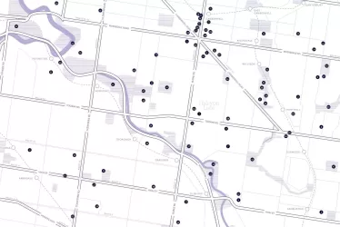
Schools near 202 Burwood Highway, Burwood VIC 3125
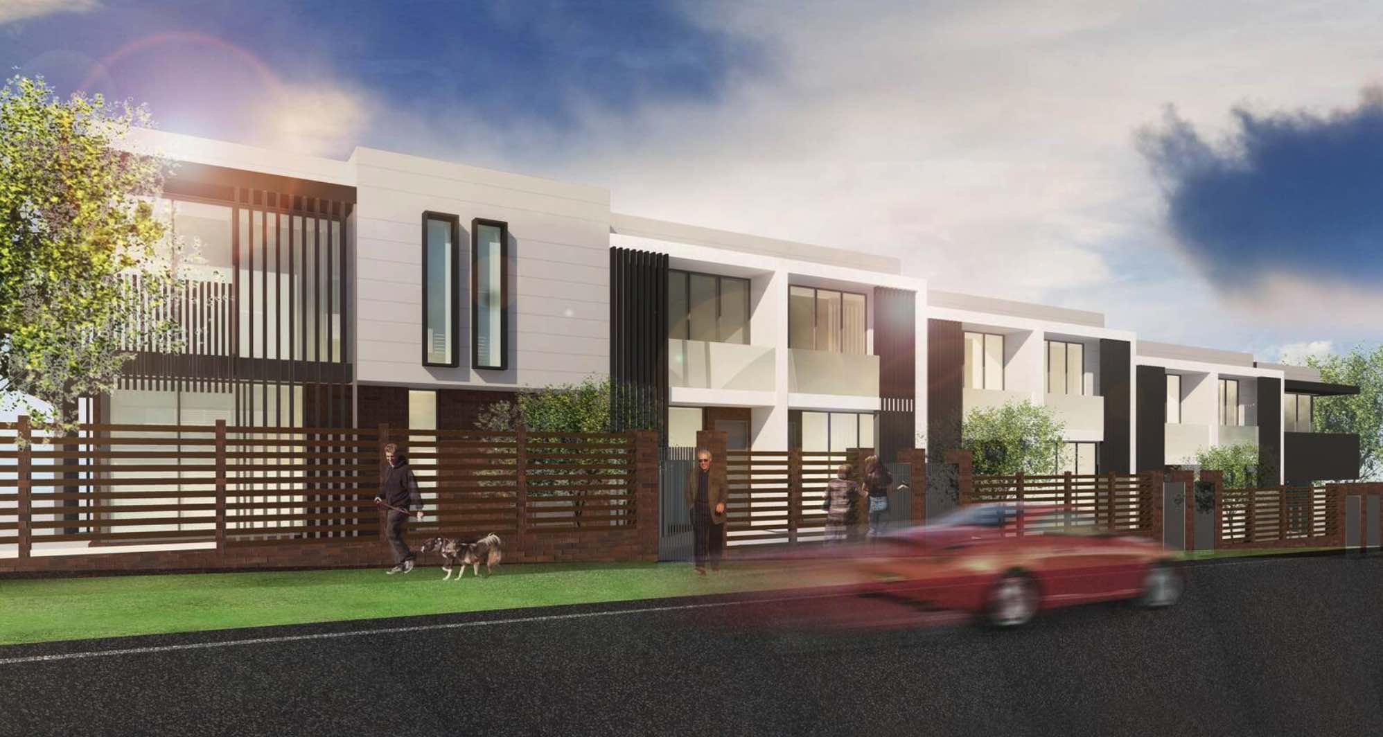
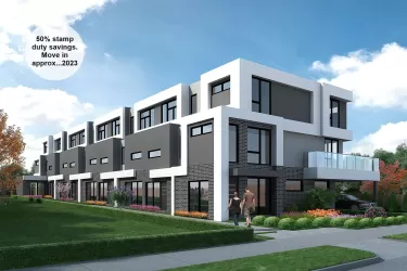
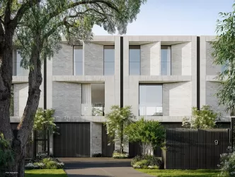
Overview
This information is estimated by the OpenLot research team. Let us know here to provide up-to-date information about this development.
| Total new homes | |
| Area Size | 0.18 hectares |
| Growth Region | Melbourne East |
| City Council | Whitehorse City Council |
| Developer | N/A |
| Distance to |
Land Price Trend in Burwood VIC 3125
Below shows the price trend from vacant land sales recorded in Burwood VIC 3125.
The data and information provided by Terralytics (Aust) Pty Ltd (Terralytics Data) is general in nature and is not intended to constitute professional advice. Read more
It should not be relied upon as a substitute for legal, financial, valuation, or other specialist advice relevant to your specific circumstances.
Terralytics uses commercially reasonable endeavours to ensure the Terralytics Data is current and accurate. However, as the Terralytics Data incorporates information sourced from third parties, Terralytics makes no representation or warranty — express or implied — as to its accuracy, completeness, or currency. To the maximum extent permitted by applicable law, Terralytics excludes all liability for any loss or damage (including consequential loss) arising out of or in connection with reliance on the Terralytics Data, whether arising in contract, tort (including negligence), statute, or otherwise.
Popular Estates near 202 Burwood Highway, Burwood
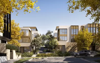
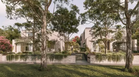
Not exactly what you're looking for? Try surrounding suburbs
Box Hill South VIC 3128
2 estates | Whitehorse City Council
2.4km north-east
Glen Iris VIC 3146
5 estates | Stonnington City Council
3.4km west
Camberwell VIC 3124
6 estates | Boroondara City Council
2.9km north-west
Ashburton VIC 3147
1 estate | Boroondara City Council
2.6km south-west
Canterbury VIC 3126
2 estates | Boroondara City Council
3.4km north-west
Surrey Hills VIC 3127
1 estate | Boroondara City Council
2.4km north
Latest published articles


FAQs about 202 Burwood Highway, Burwood VIC 3125
202 Burwood Highway, Burwood VIC 3125 consists of 13 homes.
The total area for 202 Burwood Highway, Burwood VIC 3125 is 0.18 hectares.
202 Burwood Highway, Burwood VIC 3125 falls under Whitehorse City Council.
202 Burwood Highway, Burwood VIC 3125 is 14 km east of Melbourne CBD.
Nearby schools for 202 Burwood Highway, Burwood VIC 3125:
- Presbyterian Ladies' College - 446m west
- Mount Scopus Memorial College - 595m north-east
- Ashwood School - 1.2km south
- St Scholastica's School - 1.3km east
- Wattle Park Primary School - 1.5km north-west