
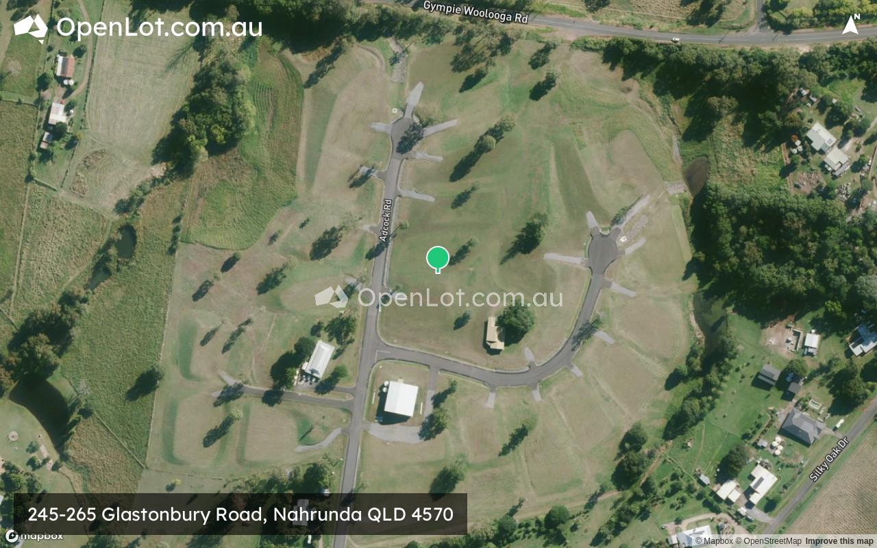
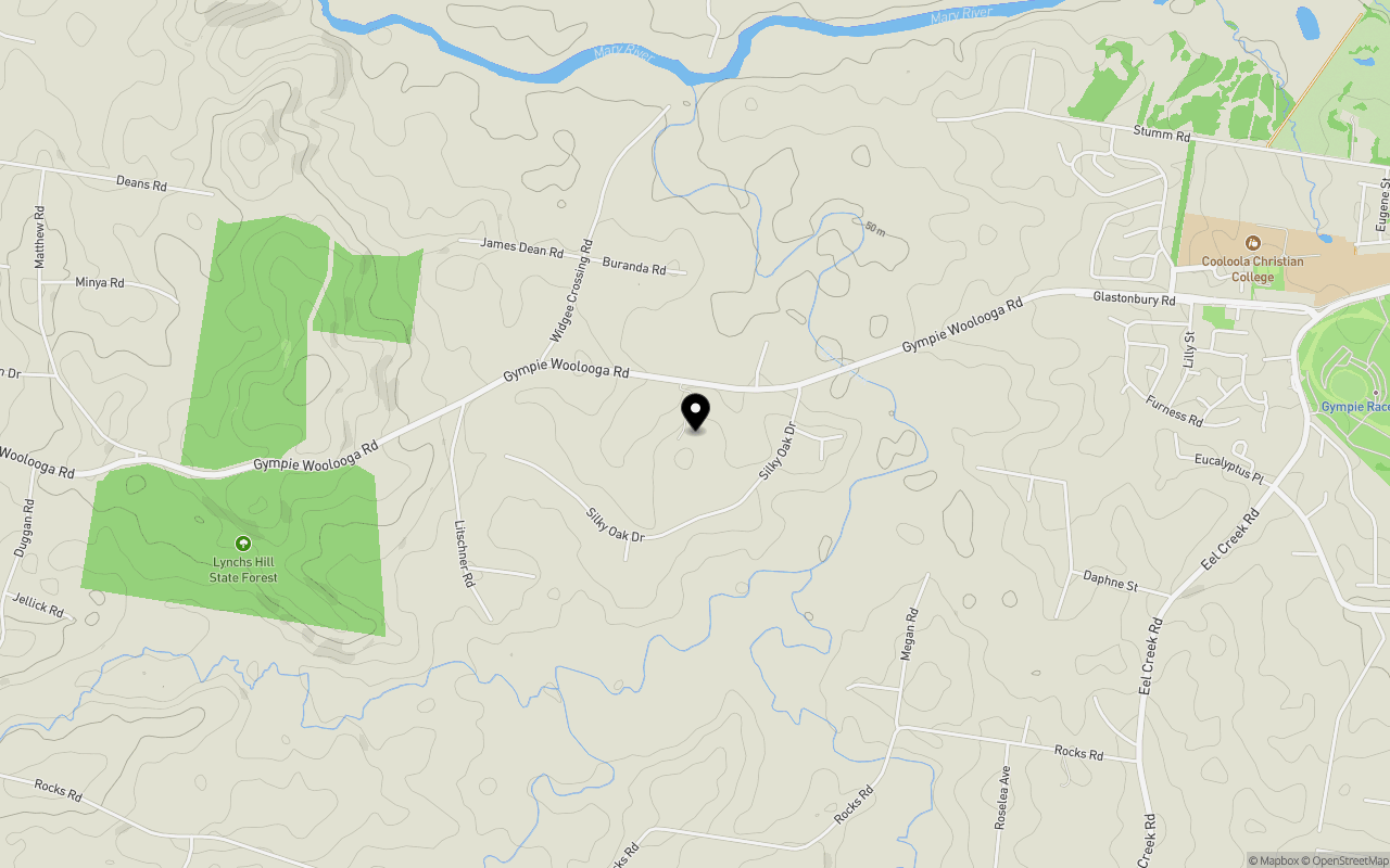
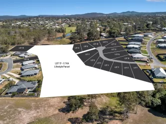
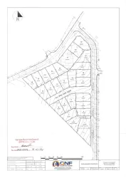
Location & Map for 245-265 Glastonbury Road, Nahrunda QLD 4570
Schools near 245-265 Glastonbury Road, Nahrunda QLD 4570
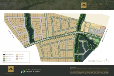
Overview
This information is estimated by the OpenLot research team. Let us know here to provide up-to-date information about this development.
| Total new homes | |
| Area Size | 13.62 hectares |
| Growth Region | Sunshine Coast Growth Areas |
| City Council | Gympie Regional Council |
| Developer | N/A |
Updates for 245-265 Glastonbury Road, Nahrunda
Popular Estates near 245-265 Glastonbury Road, Nahrunda

Not exactly what you're looking for? Try surrounding suburbs
Gympie QLD 4570
3 estates | Gympie Regional Council
3.7km east
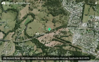
Southside QLD 4570
12 estates | Gympie Regional Council
1.3km east
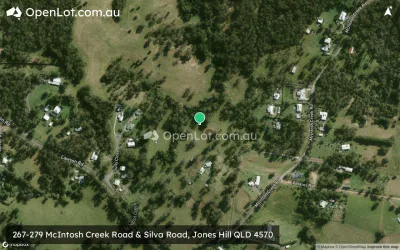
Jones Hill QLD 4570
3 estates | Gympie Regional Council
4.8km south-east
Pie Creek QLD 4570
4 estates | Gympie Regional Council
3.9km south-west
Monkland QLD 4570
1 estate | Gympie Regional Council
6.5km east
Widgee Crossing South QLD 4570
1 estate | Gympie Regional Council
1.3km north-west
Latest published articles


FAQs about 245-265 Glastonbury Road, Nahrunda QLD 4570
245-265 Glastonbury Road, Nahrunda QLD 4570 consists of 20 homes.
The total area for 245-265 Glastonbury Road, Nahrunda QLD 4570 is 13.62 hectares.
245-265 Glastonbury Road, Nahrunda QLD 4570 falls under Gympie Regional Council.
Nearby schools for 245-265 Glastonbury Road, Nahrunda QLD 4570:
- Cooloola Christian College - 2.2km east
- Gympie South State School - 2.6km east
- Two Mile State School - 4.4km north-east
- St Patrick's Primary School - 4.7km east
- James Nash State High School - 4.8km north-east
- Gympie Central State School - 4.8km east