
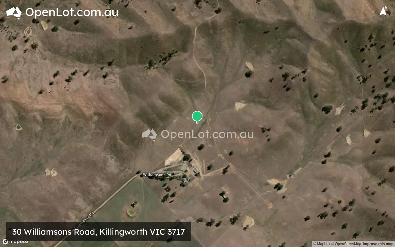
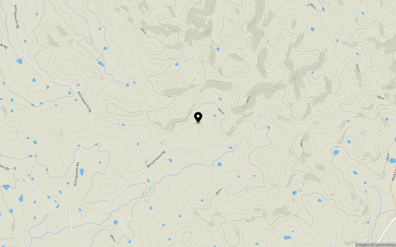
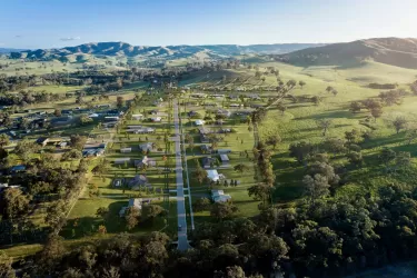
Location & Map for 30 Williamsons Road, Killingworth VIC 3717
Schools near 30 Williamsons Road, Killingworth VIC 3717
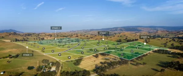
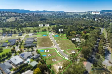
Overview
This information is estimated by the OpenLot research team. Let us know here to provide up-to-date information about this development.
| Total new homes | |
| Area Size | 283.86 hectares |
| City Council | Murrindindi Shire Council |
| Developer | N/A |
| Distance to |
Updates for 30 Williamsons Road, Killingworth
Popular Estates near 30 Williamsons Road, Killingworth


Not exactly what you're looking for? Try surrounding suburbs
Broadford VIC 3658
7 estates | Mitchell Shire Council
31.9km west
Yea VIC 3717
5 estates | Murrindindi Shire Council
3.6km south
Seymour VIC 3660
9 estates | Mitchell Shire Council
30.0km north-west
Alexandra VIC 3714
3 estates | Murrindindi Shire Council
26.4km east
Tallarook VIC 3659
1 estate | Mitchell Shire Council
29.0km west
Yarck VIC 3719
1 estate | Murrindindi Shire Council
20.3km north-east
Latest published articles


FAQs about 30 Williamsons Road, Killingworth VIC 3717
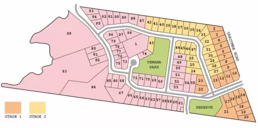
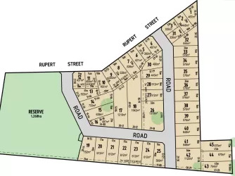
30 Williamsons Road, Killingworth VIC 3717 consists of 17 homes.
The total area for 30 Williamsons Road, Killingworth VIC 3717 is 283.86 hectares.
30 Williamsons Road, Killingworth VIC 3717 falls under Murrindindi Shire Council.
30 Williamsons Road, Killingworth VIC 3717 is 82 km north-east of Melbourne CBD.
Nearby schools for 30 Williamsons Road, Killingworth VIC 3717:
- Yea Primary School - 3.5km south-west
- Sacred Heart School - 3.8km south-west
- Yea High School - 4.7km south-west
- Flowerdale Primary School - 20.1km south-west
- Alexandra Secondary College - 22.5km east
- Alexandra Primary School - 23.4km east