
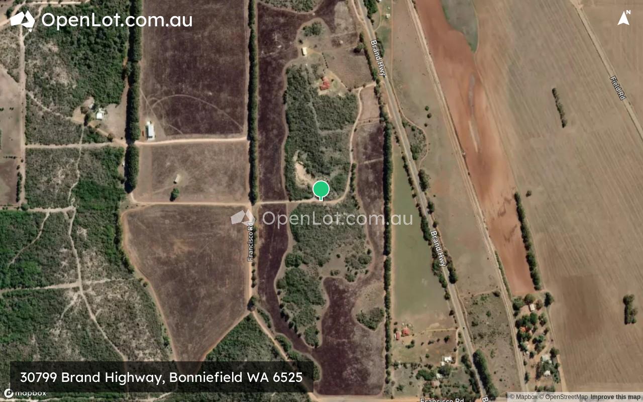
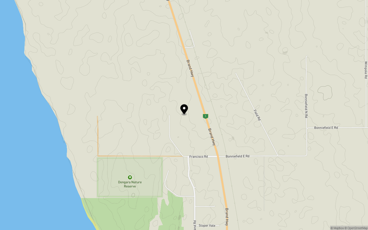
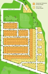
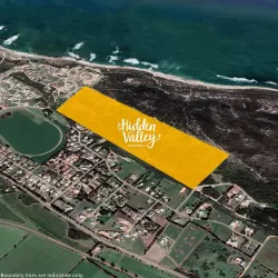
Location & Map for 30799 Brand Highway, Bonniefield WA 6525
Schools near 30799 Brand Highway, Bonniefield WA 6525
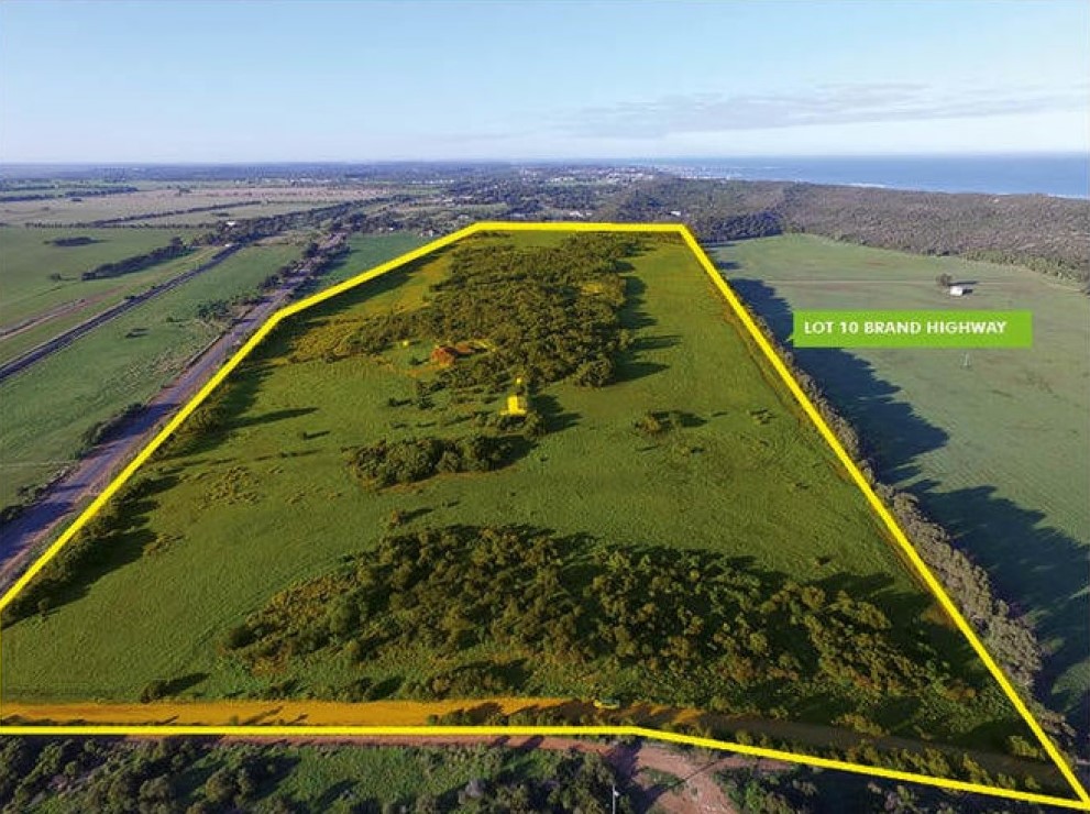
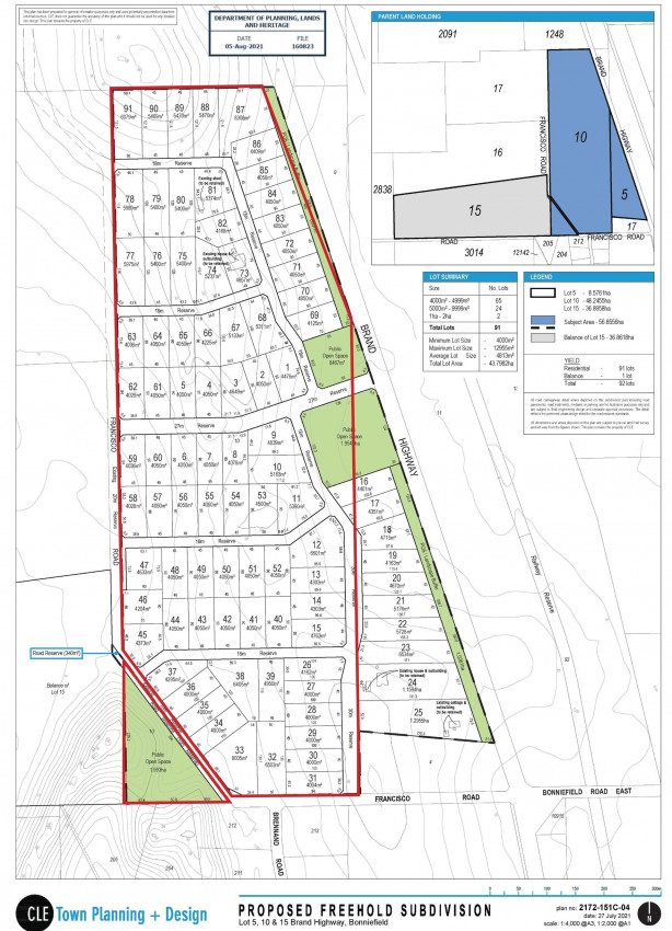
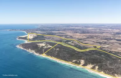
Overview
This information is estimated by the OpenLot research team. Let us know here to provide up-to-date information about this development.
| Total new homes | |
| Area Size | 48.22 hectares |
| City Council | Shire of Irwin |
| Developer | N/A |
Updates for 30799 Brand Highway, Bonniefield

Popular Estates near 30799 Brand Highway, Bonniefield


Not exactly what you're looking for? Try surrounding suburbs
Utakarra WA 6530
1 estate | City of Greater Geraldton
55.0km north-west
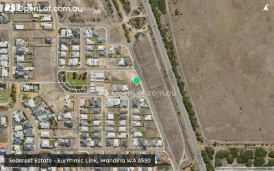
Wandina WA 6530
1 estate | City of Greater Geraldton
52.5km north-west
Dongara WA 6525
3 estates | Shire of Irwin
4.4km south
Bookara WA 6525
1 estate | Shire of Irwin
11.8km north
Port Denison WA 6525
1 estate | Shire of Irwin
8.4km south
Cape Burney WA 6532
1 estate | City of Greater Geraldton
46.6km north-west
Latest published articles


FAQs about 30799 Brand Highway, Bonniefield WA 6525
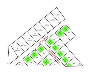
30799 Brand Highway, Bonniefield WA 6525 consists of 81 homes.
The total area for 30799 Brand Highway, Bonniefield WA 6525 is 48.22 hectares.
30799 Brand Highway, Bonniefield WA 6525 falls under Shire of Irwin.
Nearby schools for 30799 Brand Highway, Bonniefield WA 6525:
- Dongara District High School - 3.3km south
- Walkaway Primary School - 33.5km north
- Mingenew Primary School - 50.1km east
- Wandina Primary School - 53.0km north-west
- Mount Tarcoola Primary School - 54.8km north-west
- Champion Bay Senior High School - 55.2km north-west