
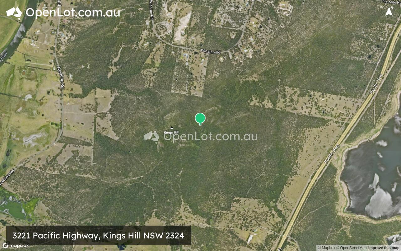
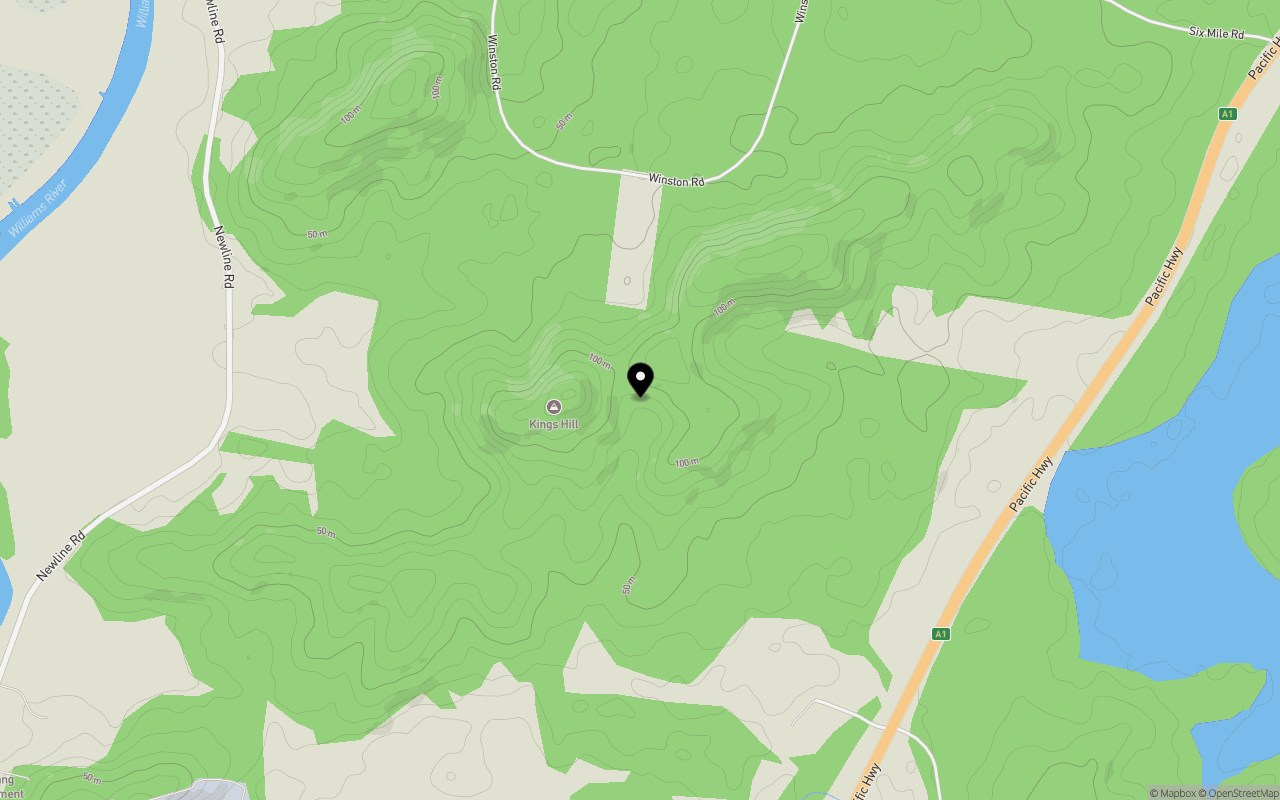
Location & Map for 3221 Pacific Highway, Kings Hill NSW 2324
Schools near 3221 Pacific Highway, Kings Hill NSW 2324
Overview
This information is estimated by the OpenLot research team. Let us know here to provide up-to-date information about this development.
| Total new homes | |
| Area Size | 407.64 hectares |
| Growth Region | Greater Newcastle Growth Areas (The Hunter Region) |
| City Council | Port Stephens Council |
| Developer | N/A |
| Distance to |
Updates for 3221 Pacific Highway, Kings Hill
Popular Estates near 3221 Pacific Highway, Kings Hill
Not exactly what you're looking for? Try surrounding suburbs
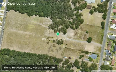
Medowie NSW 2318
4 estates | Port Stephens Council
8.3km east
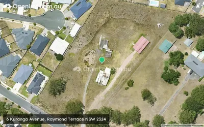
Raymond Terrace NSW 2324
3 estates | Port Stephens Council
5.9km south-west
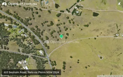
Nelsons Plains NSW 2324
1 estate | Port Stephens Council
5.1km west
Heatherbrae NSW 2324
1 estate | Port Stephens Council
8.6km south-west
Tarro NSW 2322
1 estate | Newcastle City Council
13.7km south-west
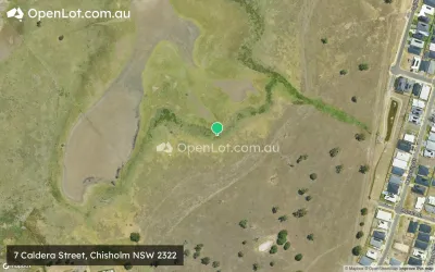
Chisholm NSW 2322
6 estates | Maitland City Council
14.0km west
Latest published articles


FAQs about 3221 Pacific Highway, Kings Hill NSW 2324
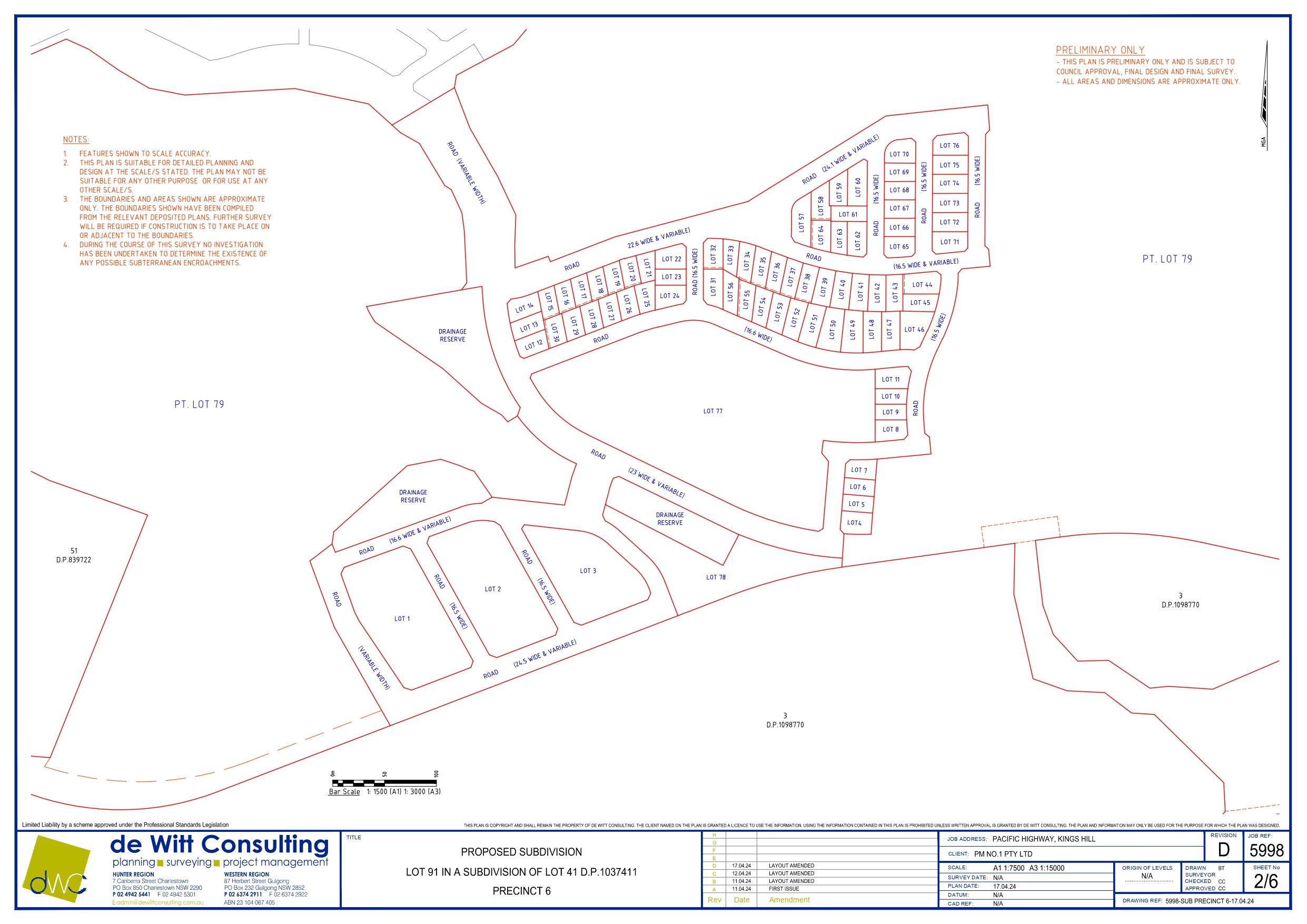
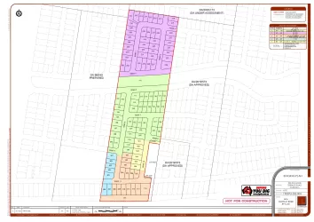
3221 Pacific Highway, Kings Hill NSW 2324 consists of 77 homes.
The total area for 3221 Pacific Highway, Kings Hill NSW 2324 is 407.64 hectares.
3221 Pacific Highway, Kings Hill NSW 2324 falls under Port Stephens Council.
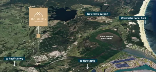
3221 Pacific Highway, Kings Hill NSW 2324 is 24 km north of Newcastle CBD.
Nearby schools for 3221 Pacific Highway, Kings Hill NSW 2324:
- Grahamstown Public School - 5.0km south
- Irrawang Public School - 5.3km south
- Irrawang High School - 5.3km south
- St Brigid's Primary School - 6.3km south-west
- Raymond Terrace Public School - 6.7km south-west
- Seaham Public School - 7.2km north-west