
1 Estates in Bunkers Hill VIC 3352
![]()
In Planning
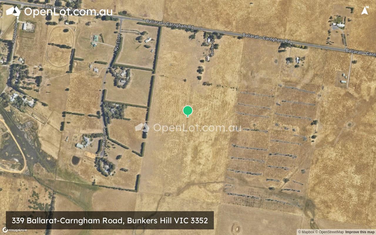
339 Ballarat-Carngham Road, Bunkers Hill VIC 3352
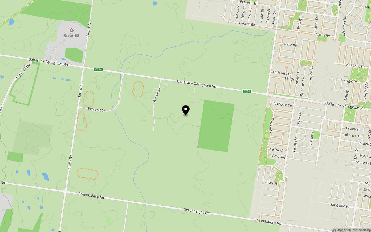
Location & Map for 339 Ballarat-Carngham Road, Bunkers Hill VIC 3352
Loading map...
Explore map
Schools near 339 Ballarat-Carngham Road, Bunkers Hill VIC 3352
Overview
This information is estimated by the OpenLot research team. Let us know here to provide up-to-date information about this development.
| Total new homes | |
| Area Size | 32.80 hectares |
| Growth Region | City of Ballarat Growth Areas |
| City Council | Ballarat City Council |
| Developer | Bauenort |
| Distance to |
Updates for 339 Ballarat-Carngham Road, Bunkers Hill

Latest published articles


FAQs about 339 Ballarat-Carngham Road, Bunkers Hill VIC 3352
Bauenort is the developer behind 339 Ballarat-Carngham Road, Bunkers Hill VIC 3352.
339 Ballarat-Carngham Road, Bunkers Hill VIC 3352 consists of 600 homes.
The total area for 339 Ballarat-Carngham Road, Bunkers Hill VIC 3352 is 32.80 hectares.
339 Ballarat-Carngham Road, Bunkers Hill VIC 3352 falls under Ballarat City Council.
339 Ballarat-Carngham Road, Bunkers Hill VIC 3352 is 6 km west of Ballarat CBD.
Nearby schools for 339 Ballarat-Carngham Road, Bunkers Hill VIC 3352:
- Lucas Primary School - 2.5km north
- Siena Catholic Primary School - 2.7km north
- St Thomas More School - 3.1km north-east
- Alfredton Primary School - 3.2km north-east
- Lumen Christi School - 4.3km east
- Ballarat High School - 4.5km east