
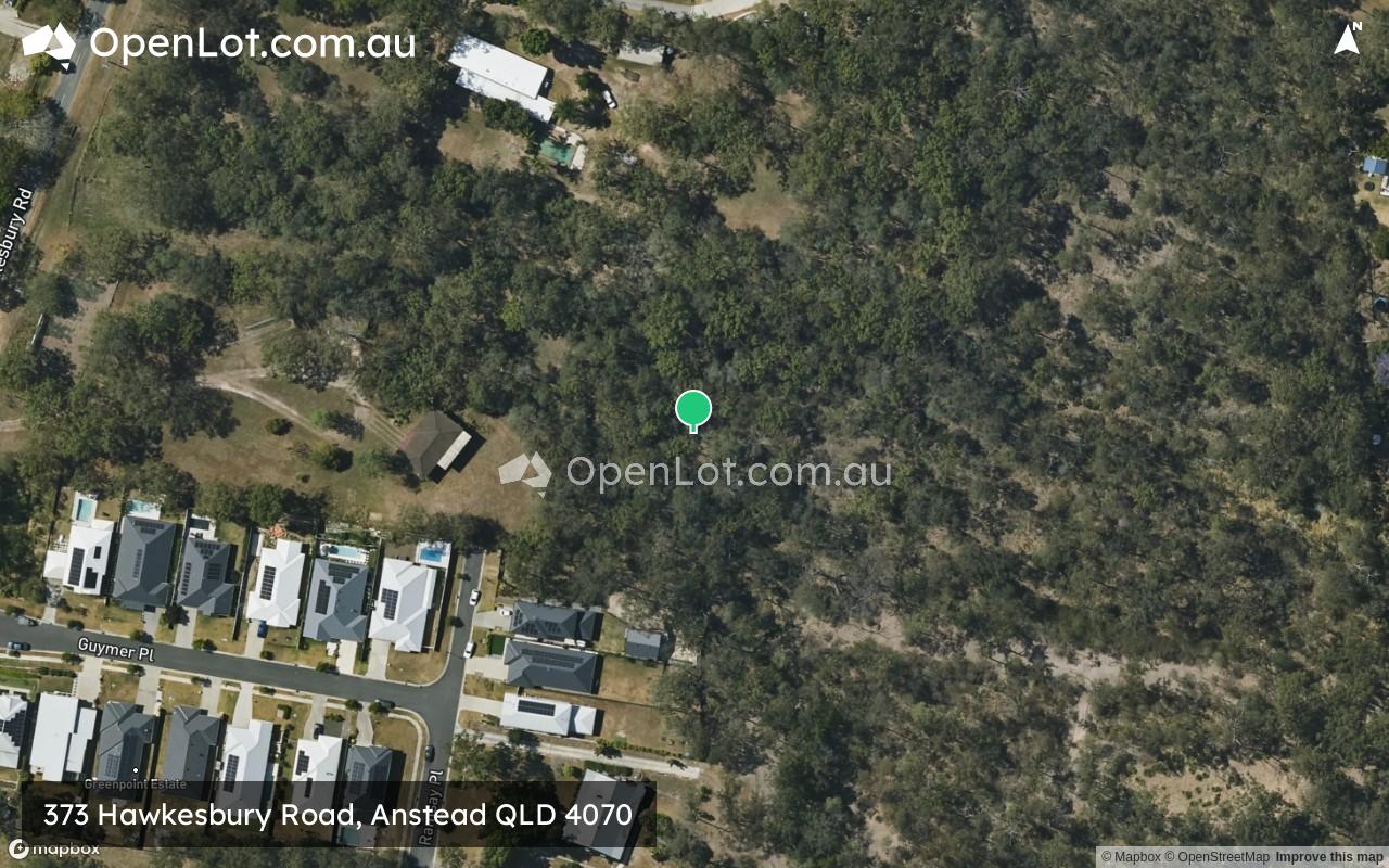
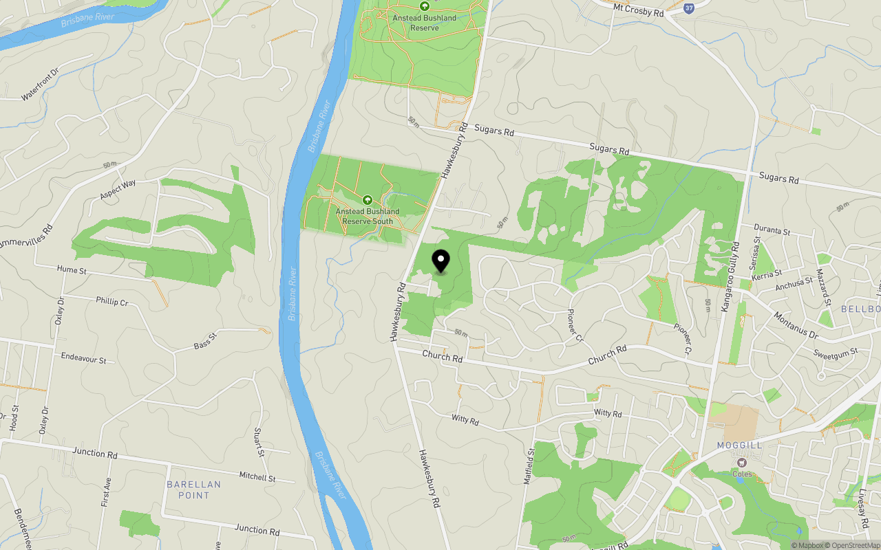
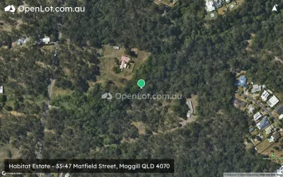
Location & Map for 373 Hawkesbury Road, Anstead QLD 4070
Schools near 373 Hawkesbury Road, Anstead QLD 4070
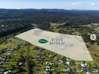
Overview
This information is estimated by the OpenLot research team. Let us know here to provide up-to-date information about this development.
| Total new homes | |
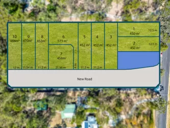
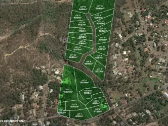
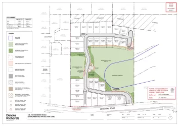
| Area Size | 3.12 hectares |
| Growth Region | Greater Brisbane Growth Areas |
| City Council | Brisbane City Council |
| Developer | N/A |
| Distance to |
Updates for 373 Hawkesbury Road, Anstead
Popular Estates near 373 Hawkesbury Road, Anstead


Not exactly what you're looking for? Try surrounding suburbs
Kenmore QLD 4069
6 estates | Brisbane City Council
8.4km east
Moggill QLD 4070
5 estates | Brisbane City Council
5.4km south
Redbank QLD 4301
4 estates | Ipswich City Council
7.3km south
Karalee QLD 4306
4 estates | Ipswich City Council
3.4km south-west
Riverview QLD 4303
3 estates | Ipswich City Council
6.3km south
Ebbw Vale QLD 4304
1 estate | Ipswich City Council
8.1km south
Latest published articles


FAQs about 373 Hawkesbury Road, Anstead QLD 4070
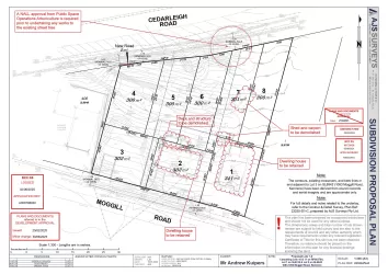
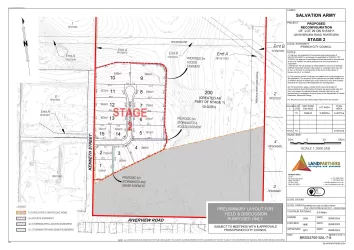
373 Hawkesbury Road, Anstead QLD 4070 consists of 12 homes.
The total area for 373 Hawkesbury Road, Anstead QLD 4070 is 3.12 hectares.
373 Hawkesbury Road, Anstead QLD 4070 falls under Brisbane City Council.
373 Hawkesbury Road, Anstead QLD 4070 is 19 km south-west of Brisbane CBD.
Nearby schools for 373 Hawkesbury Road, Anstead QLD 4070:
- Moggill State School - 2.1km south-east
- Karalee State School - 3.3km west
- Pullenvale State School - 4.6km north-east
- Redbank State School - 4.8km south
- St Peter Claver College - 4.8km south-west
- Riverview State School - 5.0km south