
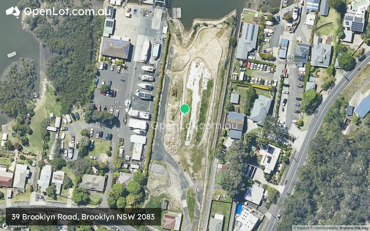
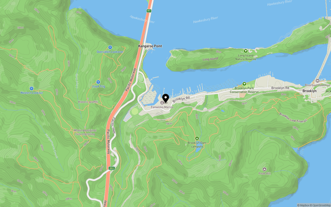
Location & Map for 39 Brooklyn Road, Brooklyn NSW 2083
Schools near 39 Brooklyn Road, Brooklyn NSW 2083
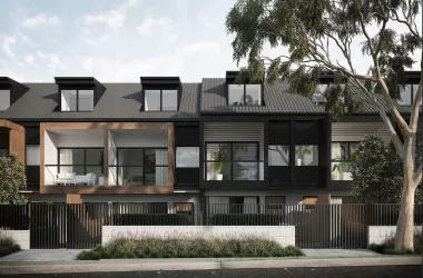
Overview
This information is estimated by the OpenLot research team. Let us know here to provide up-to-date information about this development.
| Total new homes | |
| Area Size | 0.72 hectares |
| City Council | Hornsby Shire Council |
| Developer | N/A |
| Distance to |
Updates for 39 Brooklyn Road, Brooklyn

Popular Estates near 39 Brooklyn Road, Brooklyn


Not exactly what you're looking for? Try surrounding suburbs
Asquith NSW 2077
3 estates | Hornsby Shire Council
14.6km south-west
Warriewood NSW 2102
7 estates | Northern Beaches Council
13.8km south-east
North Turramurra NSW 2074
3 estates | Ku-ring-gai Council
13.8km south-west
Avalon Beach NSW 2107
1 estate | Northern Beaches Council
11.7km south-east
Mount Colah NSW 2079
1 estate | Hornsby Shire Council
12.5km south-west
Newport NSW 2106
1 estate | Northern Beaches Council
12.8km south-east
Latest published articles


FAQs about 39 Brooklyn Road, Brooklyn NSW 2083
39 Brooklyn Road, Brooklyn NSW 2083 consists of 13 homes.
The total area for 39 Brooklyn Road, Brooklyn NSW 2083 is 0.72 hectares.
39 Brooklyn Road, Brooklyn NSW 2083 falls under Hornsby Shire Council.
39 Brooklyn Road, Brooklyn NSW 2083 is 36 km north of Sydney CBD.
Nearby schools for 39 Brooklyn Road, Brooklyn NSW 2083:
- Brooklyn Public School - 1.2km east
- Cowan Public School - 5.3km south-west
- Wideview Public School - 8.6km south-west
- St Bernard's Catholic Primary School - 8.9km south-west
- Berowra Public School - 9.1km south-west
- Pacific Berowra Christian School - 9.5km south-west