

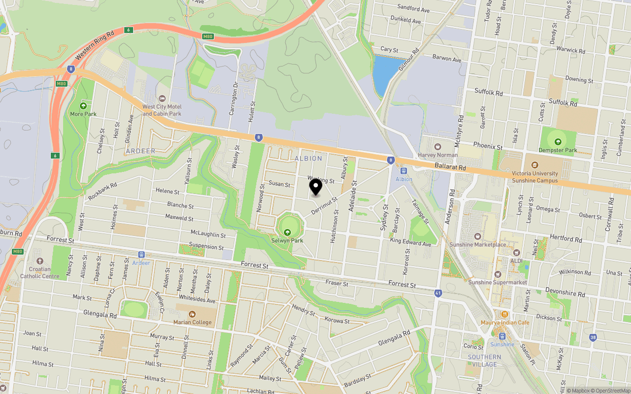
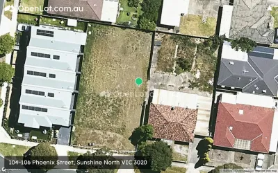
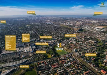
Location & Map for 4-6 Dubbo Street, Albion VIC 3020
Schools near 4-6 Dubbo Street, Albion VIC 3020
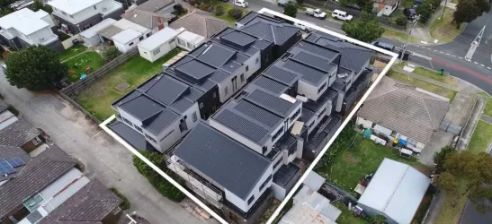
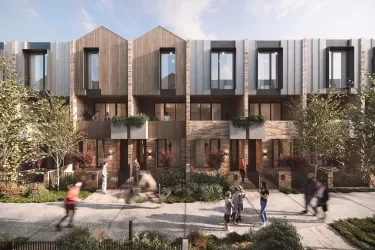
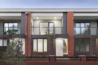
Overview
This information is estimated by the OpenLot research team. Let us know here to provide up-to-date information about this development.
| Total new homes | |
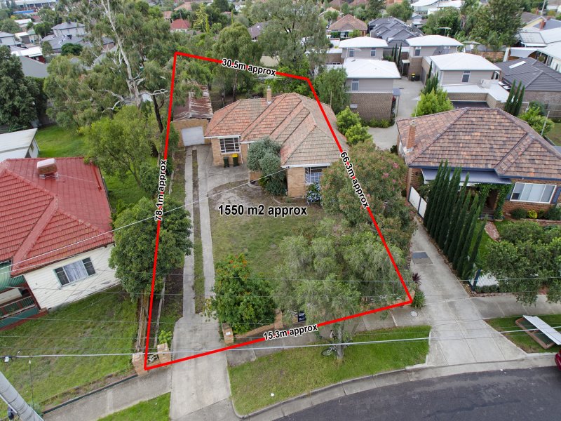
| Area Size | 0.25 hectares |
| Growth Region | Melbourne West Growth Corridor |
| City Council | Brimbank City Council |
| Developer | N/A |
| Distance to |
Updates for 4-6 Dubbo Street, Albion

Popular Estates near 4-6 Dubbo Street, Albion
Not exactly what you're looking for? Try surrounding suburbs
Deer Park VIC 3023
1 estate | Brimbank City Council
3.3km west
Sunshine North VIC 3020
5 estates | Brimbank City Council
1.7km north-east
Braybrook VIC 3019
3 estates | Maribyrnong City Council
3.0km east
Cairnlea VIC 3023
1 estate | Brimbank City Council
3.3km north-west
St Albans VIC 3021
2 estates | Brimbank City Council
3.7km north-west
Sunshine VIC 3020
5 estates | Brimbank City Council
1.8km south-east
Latest published articles


FAQs about 4-6 Dubbo Street, Albion VIC 3020
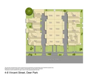
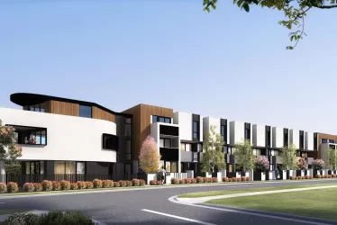
4-6 Dubbo Street, Albion VIC 3020 consists of 10 homes.
The total area for 4-6 Dubbo Street, Albion VIC 3020 is 0.25 hectares.
4-6 Dubbo Street, Albion VIC 3020 falls under Brimbank City Council.
4-6 Dubbo Street, Albion VIC 3020 is 14 km west of Melbourne CBD.
Nearby schools for 4-6 Dubbo Street, Albion VIC 3020:
- Albion Primary School - 293m north-east
- St Theresa's School - 467m south-east
- St Paul's School - 1.2km south-west
- Marian College - 1.4km south-west
- Mother of God School - 1.4km west
- Ardeer Primary School - 1.4km west