
Property types for sale
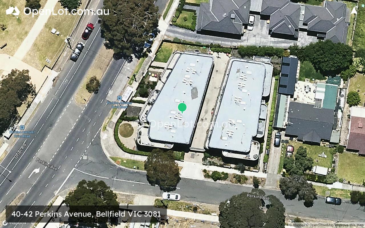
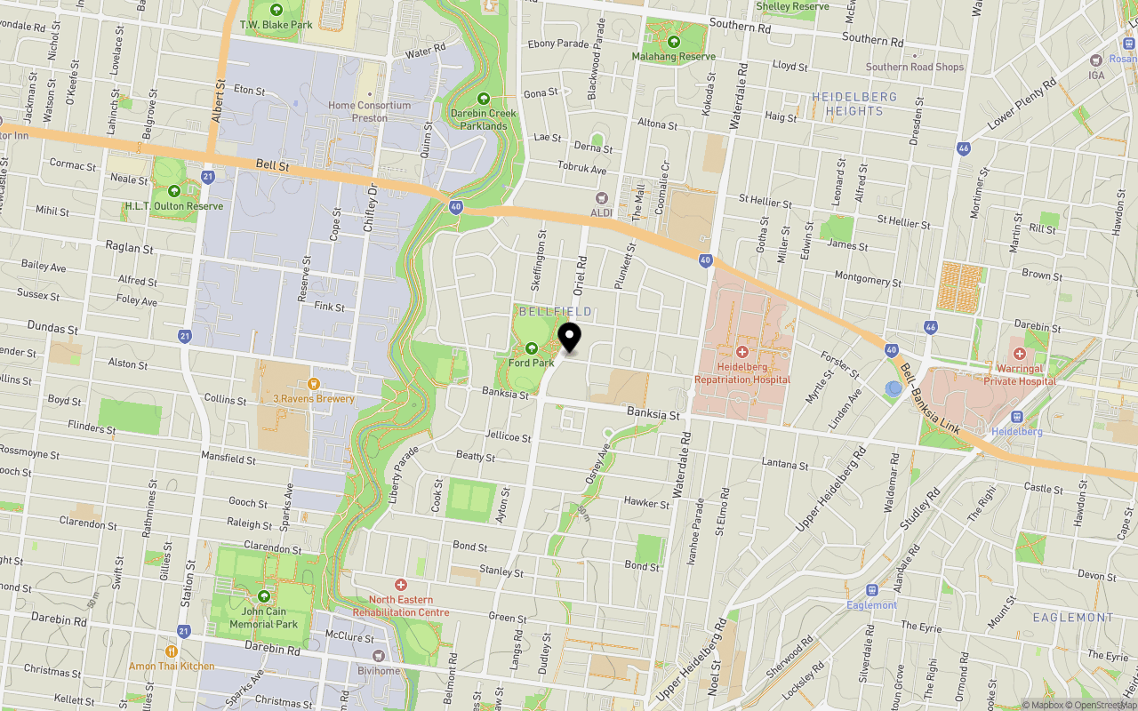
Location & Map for 40-42 Perkins Avenue, Bellfield VIC 3081
Schools near 40-42 Perkins Avenue, Bellfield VIC 3081
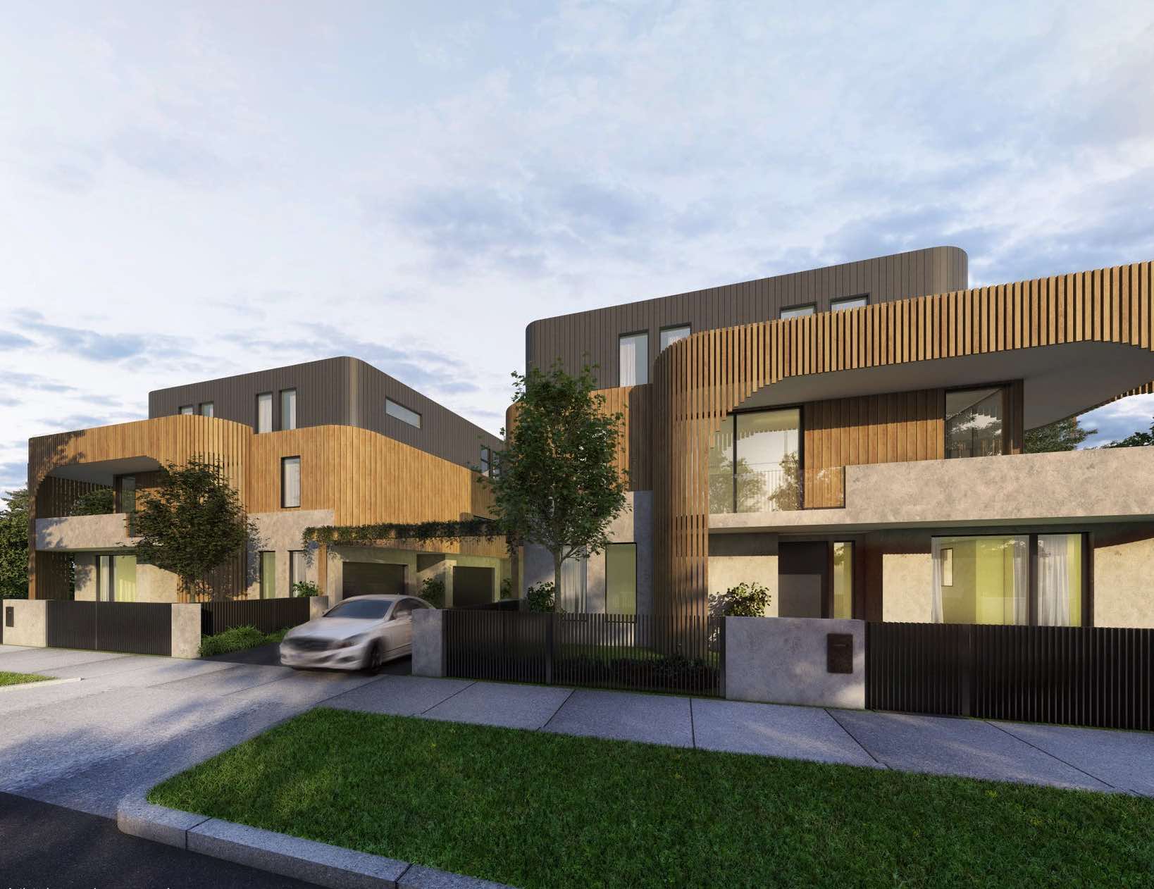
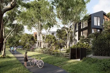
Overview
This information is estimated by the OpenLot research team. Let us know here to provide up-to-date information about this development.
| Total new homes | |
| Area Size | 0.12 hectares |
| Growth Region | Melbourne North Growth Corridor |
| City Council | Banyule City Council |
| Developer | N/A |
| Project Marketer | Ray White Preston |
| Distance to |
Updates for 40-42 Perkins Avenue, Bellfield

Popular Estates near 40-42 Perkins Avenue, Bellfield


Not exactly what you're looking for? Try surrounding suburbs
Alphington VIC 3078
4 estates | Yarra City Council
3.0km south
Rosanna VIC 3084
2 estates | Banyule City Council
2.7km north-east
Heidelberg VIC 3084
2 estates | Banyule City Council
2.2km east
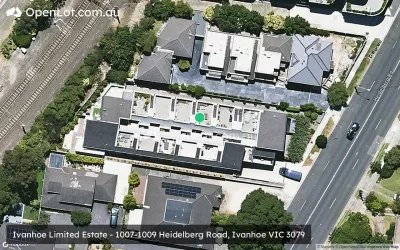
Ivanhoe VIC 3079
3 estates | Banyule City Council
1.9km south
Heidelberg West VIC 3081
1 estate | Banyule City Council
1.7km north-west
Heidelberg Heights VIC 3081
1 estate | Banyule City Council
1.4km north-east
Latest published articles


FAQs about 40-42 Perkins Avenue, Bellfield VIC 3081
40-42 Perkins Avenue, Bellfield VIC 3081 consists of 10 homes.
The total area for 40-42 Perkins Avenue, Bellfield VIC 3081 is 0.12 hectares.
40-42 Perkins Avenue, Bellfield VIC 3081 falls under Banyule City Council.
40-42 Perkins Avenue, Bellfield VIC 3081 is 10 km north-east of Melbourne CBD.
Ray White Preston is the project marketer for 40-42 Perkins Avenue, Bellfield VIC 3081.
Nearby schools for 40-42 Perkins Avenue, Bellfield VIC 3081:
- Waratah Special Developmental School - 172m south
- St Bernadette's School - 1.0km south-west
- St Pius X School - 1.1km north-east
- Thornbury High School - 1.2km west
- Ivanhoe Primary School - 1.4km south
- Virtual School Victoria - 1.4km south-west