
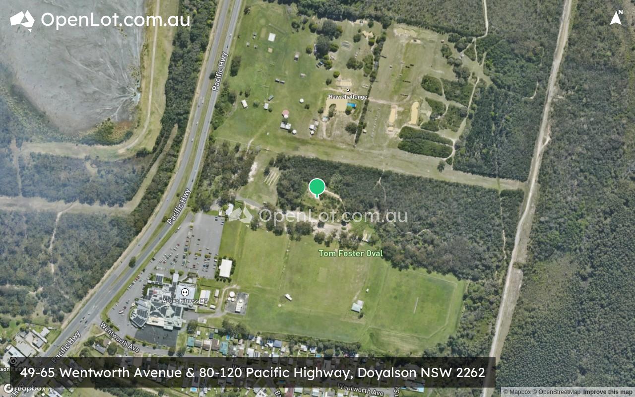
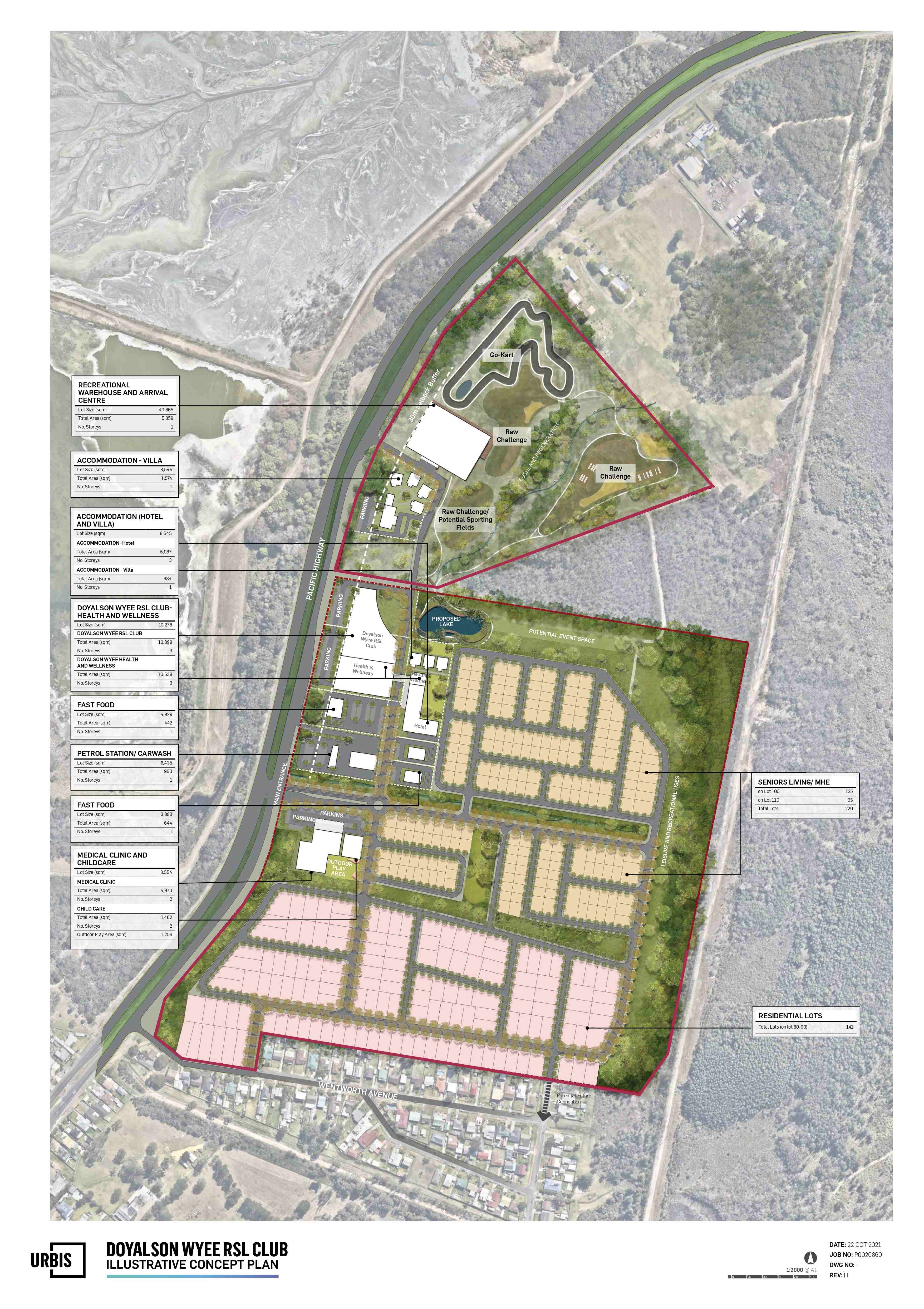
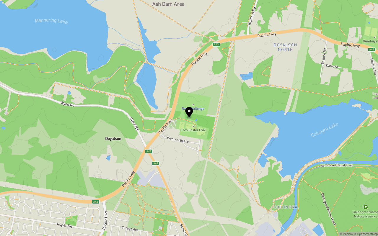
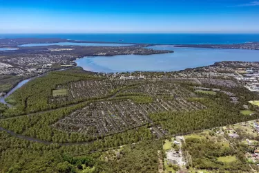
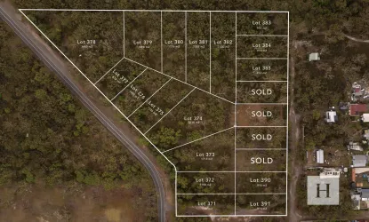
49-65 Wentworth Avenue & 80-120 Pacific Highway, Doyalson NSW 2262
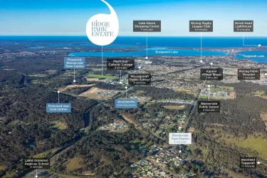
Location & Map for 49-65 Wentworth Avenue & 80-120 Pacific Highway, Doyalson NSW 2262
Schools near 49-65 Wentworth Avenue & 80-120 Pacific Highway, Doyalson NSW 2262
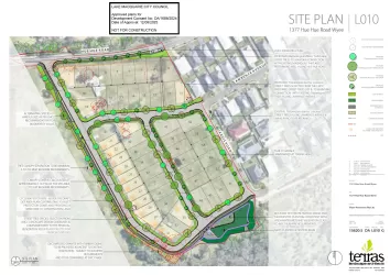
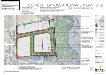
Overview
This information is estimated by the OpenLot research team. Let us know here to provide up-to-date information about this development.
| Total new homes | |
| Area Size | N/A |
| Growth Region | Central Coast Growth Areas |
| City Council | Central Coast Council |
| Developer | N/A |
| Distance to |
Updates for 49-65 Wentworth Avenue & 80-120 Pacific Highway, Doyalson
Popular Estates near 49-65 Wentworth Avenue & 80-120 Pacific Highway, Doyalson


Not exactly what you're looking for? Try surrounding suburbs
Wyee NSW 2259
6 estates | Lake Macquarie City Council
6.8km north-west
Charmhaven NSW 2263
2 estates | Central Coast Council
3.9km south-west
Chain Valley Bay NSW 2259
1 estate | Central Coast Council
6.9km north-east
Lake Munmorah NSW 2259
1 estate | Central Coast Council
6.3km east
Wyee Point NSW 2259
1 estate | Lake Macquarie City Council
5.6km north
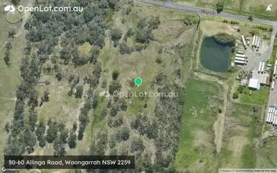
Woongarrah NSW 2259
5 estates | Central Coast Council
6.2km south-west
Latest published articles


FAQs about 49-65 Wentworth Avenue & 80-120 Pacific Highway, Doyalson NSW 2262
49-65 Wentworth Avenue & 80-120 Pacific Highway, Doyalson NSW 2262 consists of 141 homes.
49-65 Wentworth Avenue & 80-120 Pacific Highway, Doyalson NSW 2262 falls under Central Coast Council.
49-65 Wentworth Avenue & 80-120 Pacific Highway, Doyalson NSW 2262 is 38 km south-west of Newcastle CBD.
Nearby schools for 49-65 Wentworth Avenue & 80-120 Pacific Highway, Doyalson NSW 2262:
- Northlakes Public School - 2.5km south-west
- Northlakes High School - 2.7km south-west
- The Lakes College - 2.9km south-west
- Blue Haven Public School - 3.0km south-west
- Budgewoi Public School - 3.8km south-east
- St Brigid's Catholic College - 4.4km east