
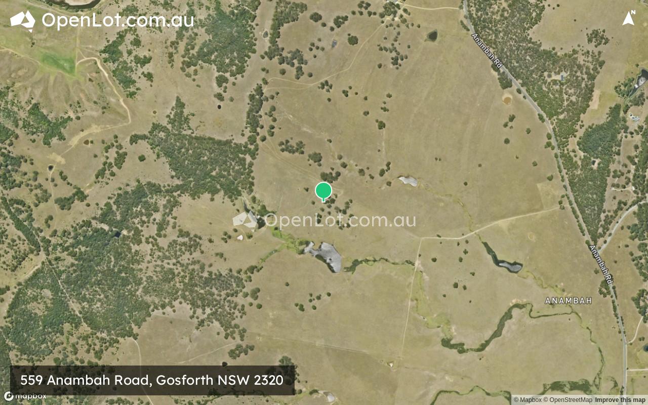
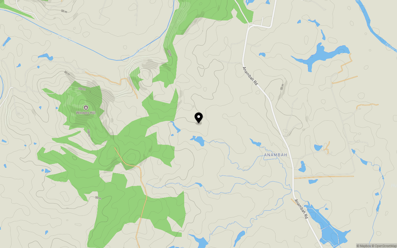
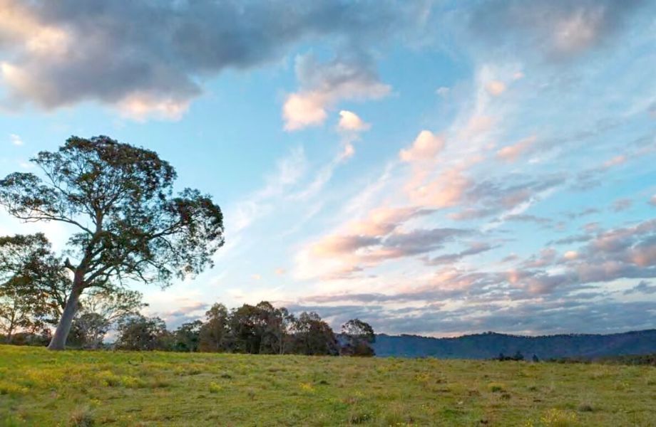
Location & Map for 559 Anambah Road, Gosforth NSW 2320
Schools near 559 Anambah Road, Gosforth NSW 2320
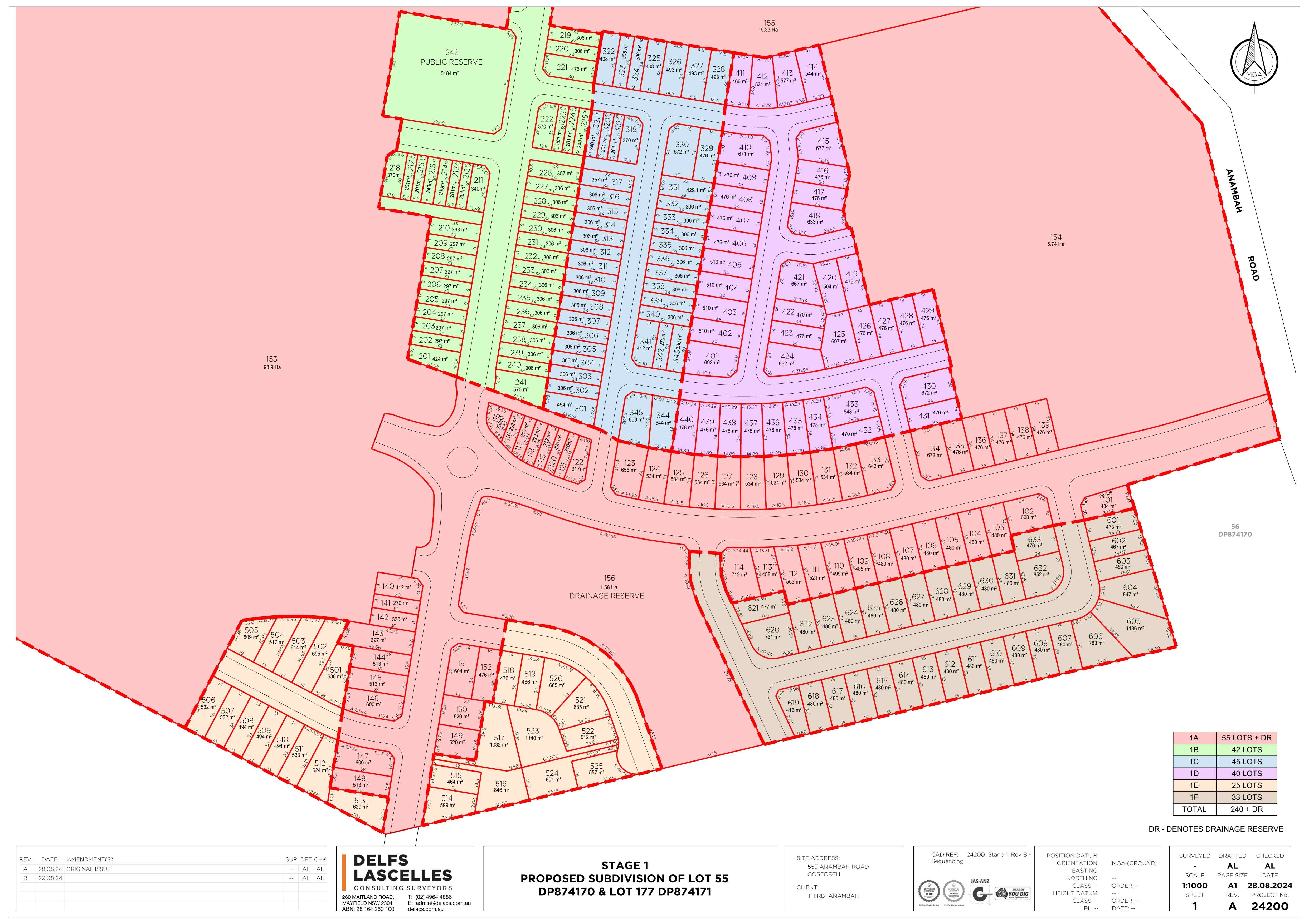
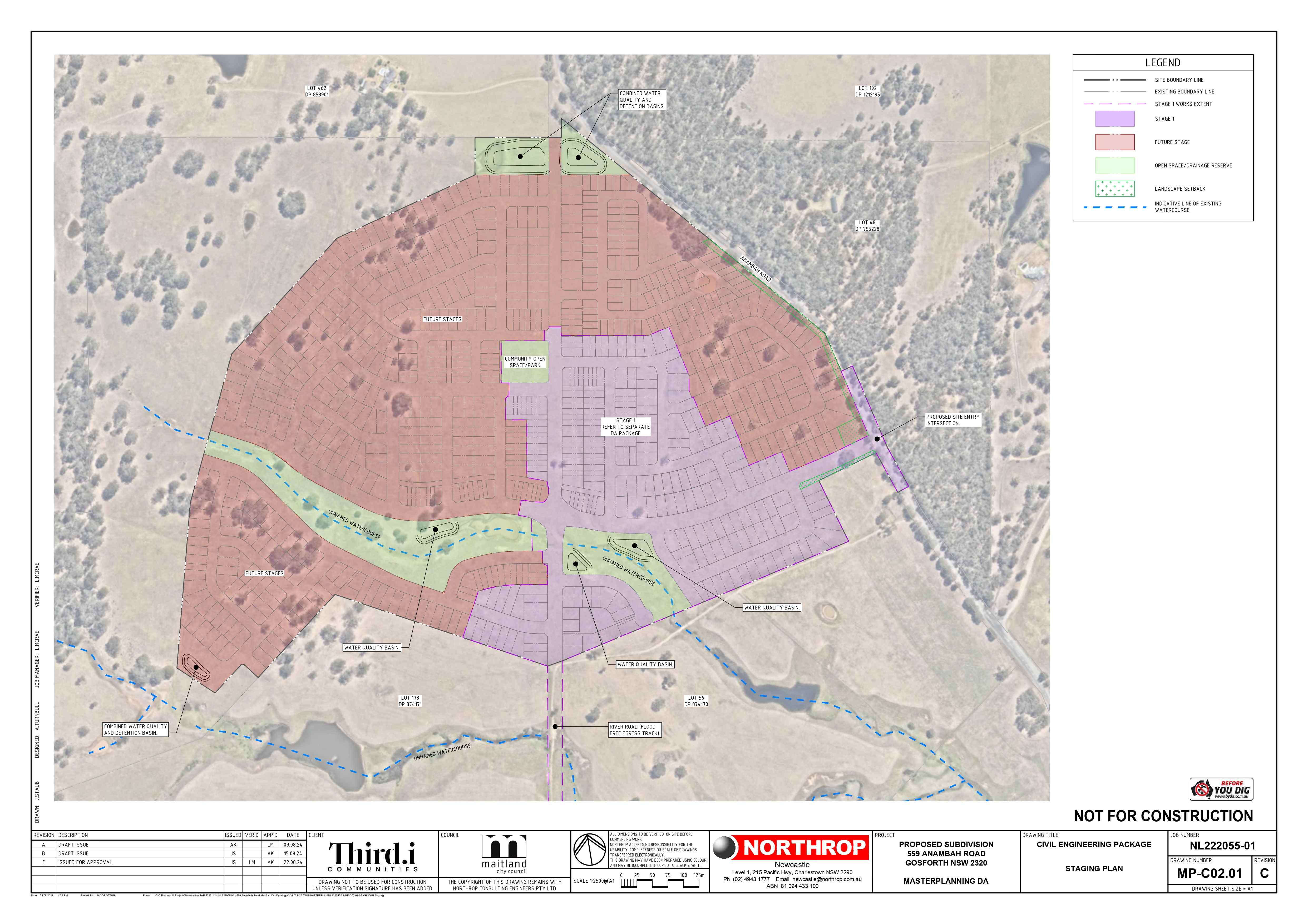
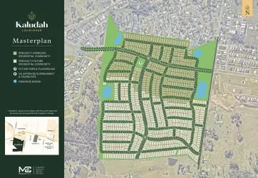
Overview
This information is estimated by the OpenLot research team. Let us know here to provide up-to-date information about this development.
| Total new homes | |
| Area Size | 125.00 hectares |
| Growth Region | Greater Newcastle Growth Areas (The Hunter Region) |
| City Council | Maitland City Council |
| Developer | Thirdi Group |
| Distance to |
Updates for 559 Anambah Road, Gosforth
Popular Estates near 559 Anambah Road, Gosforth


Not exactly what you're looking for? Try surrounding suburbs
Rutherford NSW 2320
1 estate | Maitland City Council
6.9km south
Farley NSW 2320
3 estates | Maitland City Council
9.5km south
Anambah NSW 2320
1 estate | Maitland City Council
3.3km south
Aberglasslyn NSW 2320
3 estates | Maitland City Council
5.9km south-east
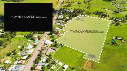
Windermere NSW 2321
1 estate | Maitland City Council
4.4km south-west
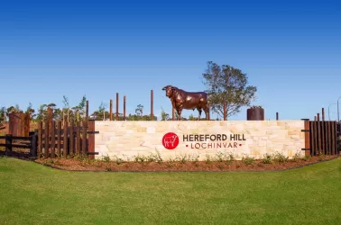
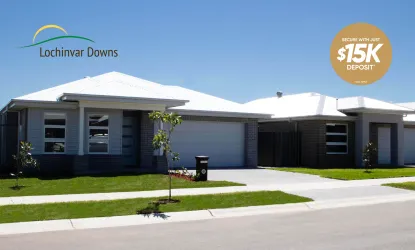
Lochinvar NSW 2321
14 estates | Maitland City Council
8.5km south-west
Latest published articles


FAQs about 559 Anambah Road, Gosforth NSW 2320
Thirdi Group is the developer behind 559 Anambah Road, Gosforth NSW 2320.
559 Anambah Road, Gosforth NSW 2320 consists of 900 homes.
The total area for 559 Anambah Road, Gosforth NSW 2320 is 125.00 hectares.
559 Anambah Road, Gosforth NSW 2320 falls under Maitland City Council.
559 Anambah Road, Gosforth NSW 2320 is 40 km north-west of Newcastle CBD.
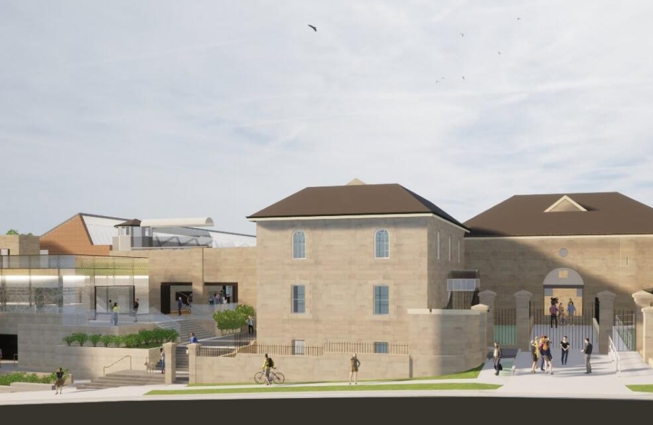
Nearby schools for 559 Anambah Road, Gosforth NSW 2320:
- St Joseph's College - 3.9km south-west
- St Patrick's Primary School - 4.1km south-west
- Lochinvar Public School - 4.4km south-west
- Rutherford Public School - 6.3km south-east
- Rutherford Technology High School - 6.5km south-east
- St Paul's Primary School - 7.3km south-east