
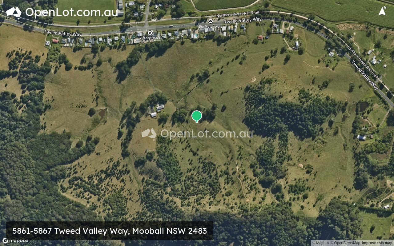
5861-5867 Tweed Valley Way, Mooball NSW 2483
Location & Map for 5861-5867 Tweed Valley Way, Mooball NSW 2483
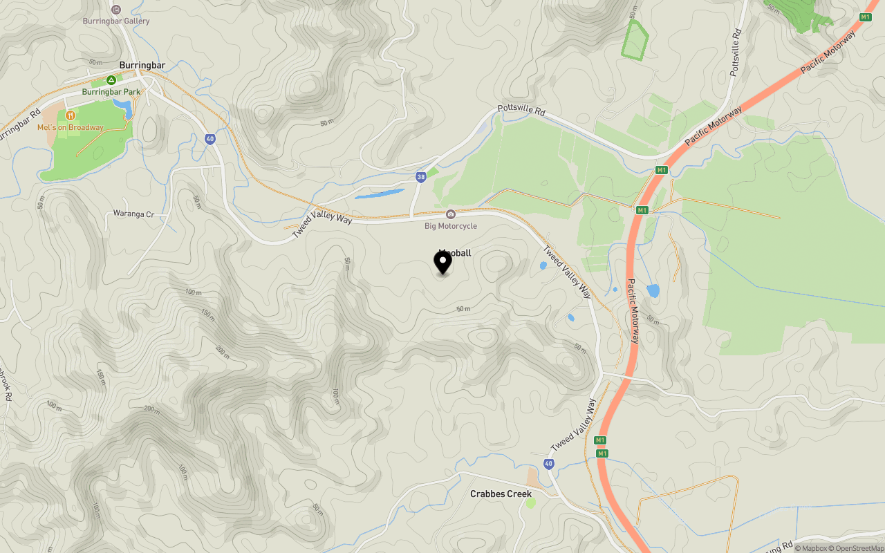
Schools near 5861-5867 Tweed Valley Way, Mooball NSW 2483
Overview
This information is estimated by the OpenLot research team. Let us know here to provide up-to-date information about this development.
| Total new homes | |
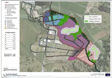
| Area Size | 79.00 hectares |
| Growth Region | Gold Coast Growth Areas & Scenic Rim |
| City Council | Tweed Shire Council |
| Developer | N/A |
| Distance to |
Updates for 5861-5867 Tweed Valley Way, Mooball

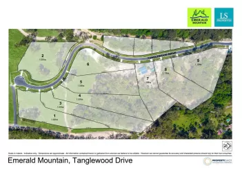
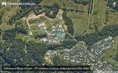
Popular Estates near 5861-5867 Tweed Valley Way, Mooball


Not exactly what you're looking for? Try surrounding suburbs
Mullumbimby NSW 2482
1 estate | Byron Shire Council
12.8km south
Bogangar NSW 2488
3 estates | Tweed Shire Council
12.6km north-east
South Murwillumbah NSW 2484
1 estate | Tweed Shire Council
13.5km north-west
Pottsville NSW 2489
1 estate | Tweed Shire Council
8.6km north-east
Tanglewood NSW 2488
1 estate | Tweed Shire Council
11.6km north
Kielvale NSW 2484
1 estate | Tweed Shire Council
11.5km north
Latest published articles


FAQs about 5861-5867 Tweed Valley Way, Mooball NSW 2483
The total area for 5861-5867 Tweed Valley Way, Mooball NSW 2483 is 79.00 hectares.
5861-5867 Tweed Valley Way, Mooball NSW 2483 falls under Tweed Shire Council.
5861-5867 Tweed Valley Way, Mooball NSW 2483 is 49 km south of Gold coast CBD.
Nearby schools for 5861-5867 Tweed Valley Way, Mooball NSW 2483:
- Crabbes Creek Public School - 1.3km south-east
- Burringbar Public School - 2.6km west
- The Pocket Public School - 6.8km south
- Ocean Shores Public School - 7.0km south-east
- St Ambrose Catholic Primary School - 9.1km north-east
- Main Arm Upper Public School - 9.7km south-west