
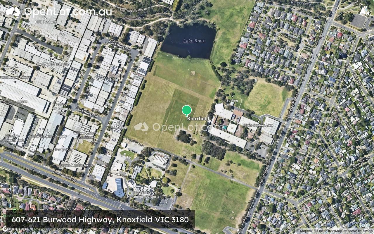
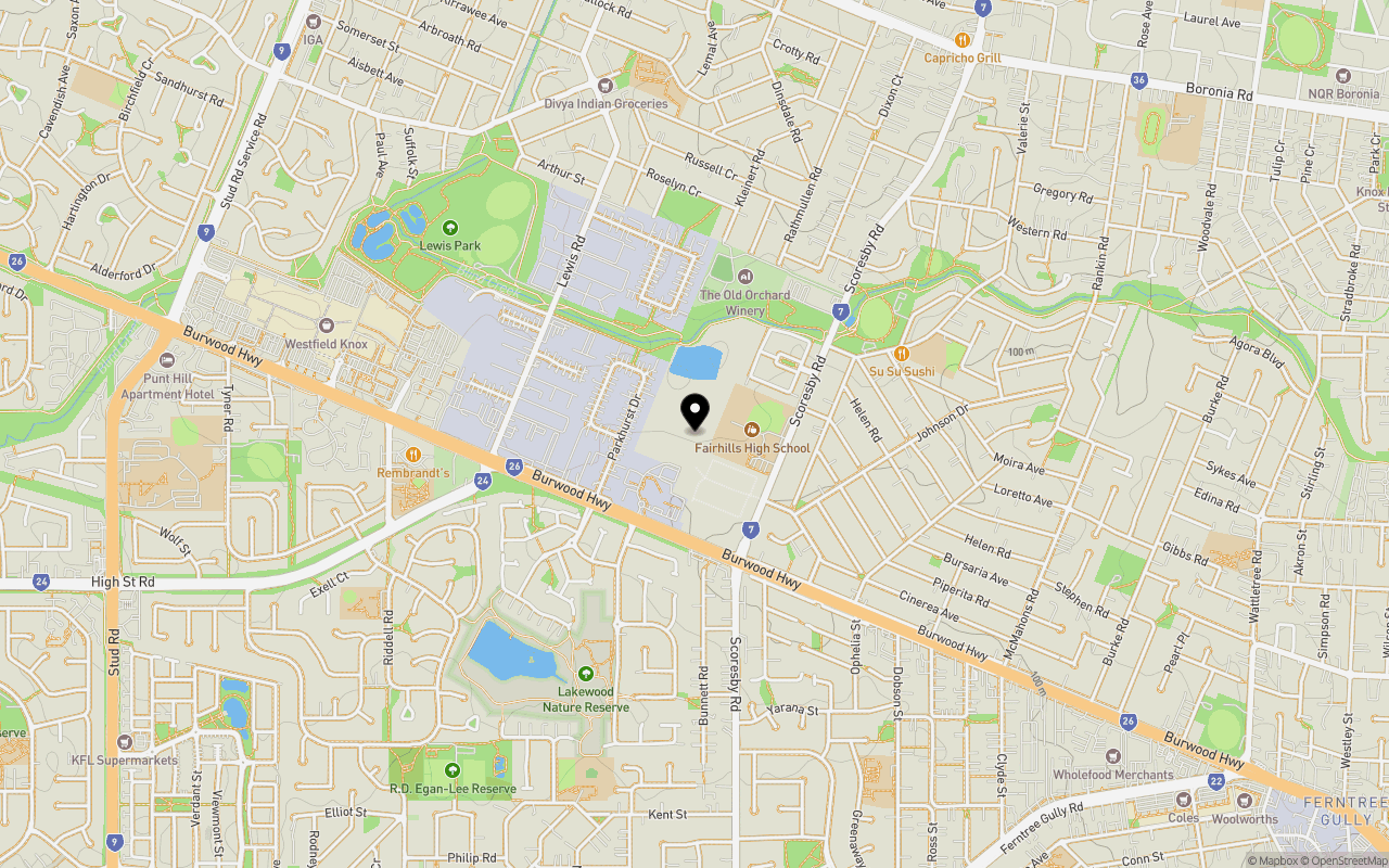
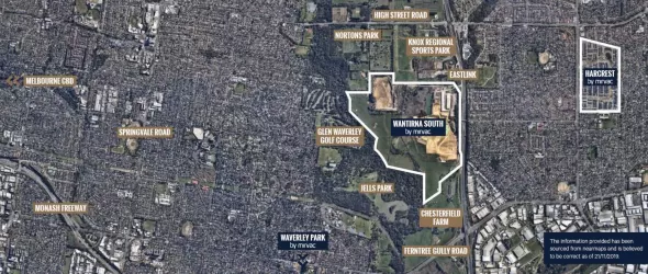
Location & Map for 607-621 Burwood Highway, Knoxfield VIC 3180
Schools near 607-621 Burwood Highway, Knoxfield VIC 3180
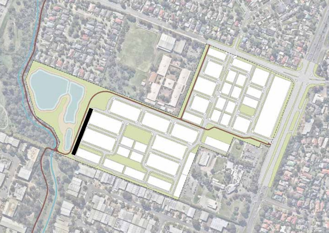
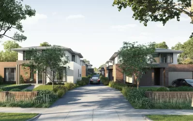
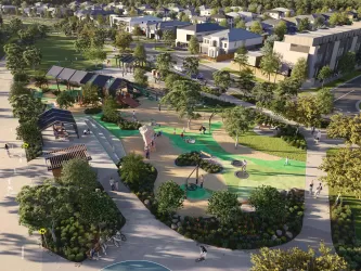
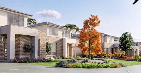
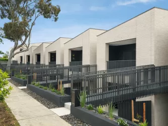
Overview
This information is estimated by the OpenLot research team. Let us know here to provide up-to-date information about this development.
| Total new homes | |
| Area Size | 19.26 hectares |
| Growth Region | Melbourne East |
| City Council | Knox City Council |
| Developer | Development Victoria |
| Distance to |
Updates for 607-621 Burwood Highway, Knoxfield


Land Price Trend in Knoxfield VIC 3180
Below shows the price trend from vacant land sales recorded in Knoxfield VIC 3180.
The data and information provided by Terralytics (Aust) Pty Ltd (Terralytics Data) is general in nature and is not intended to constitute professional advice. Read more
It should not be relied upon as a substitute for legal, financial, valuation, or other specialist advice relevant to your specific circumstances.
Terralytics uses commercially reasonable endeavours to ensure the Terralytics Data is current and accurate. However, as the Terralytics Data incorporates information sourced from third parties, Terralytics makes no representation or warranty — express or implied — as to its accuracy, completeness, or currency. To the maximum extent permitted by applicable law, Terralytics excludes all liability for any loss or damage (including consequential loss) arising out of or in connection with reliance on the Terralytics Data, whether arising in contract, tort (including negligence), statute, or otherwise.
Popular Estates near 607-621 Burwood Highway, Knoxfield


Not exactly what you're looking for? Try surrounding suburbs
Rowville VIC 3178
9 estates | Knox City Council
3.5km south
Wantirna VIC 3152
11 estates | Knox City Council
4.2km north-west
Wantirna South VIC 3152
8 estates | Knox City Council
3.5km north-west
Ferntree Gully VIC 3156
6 estates | Knox City Council
2.2km east
Scoresby VIC 3179
9 estates | Knox City Council
3.3km south-west
Boronia VIC 3155
7 estates | Knox City Council
4.4km north-east
Latest published articles


FAQs about 607-621 Burwood Highway, Knoxfield VIC 3180
Development Victoria is the developer behind 607-621 Burwood Highway, Knoxfield VIC 3180.
607-621 Burwood Highway, Knoxfield VIC 3180 consists of 450 homes.
The total area for 607-621 Burwood Highway, Knoxfield VIC 3180 is 19.26 hectares.
607-621 Burwood Highway, Knoxfield VIC 3180 falls under Knox City Council.
607-621 Burwood Highway, Knoxfield VIC 3180 is 26 km east of Melbourne CBD.
Nearby schools for 607-621 Burwood Highway, Knoxfield VIC 3180:
- Fairhills High School - 155m south-east
- Fairhills Primary School - 918m east
- St Andrews Christian College - 1.0km west
- Knox Central Primary School - 1.3km north
- Holy Trinity School - 1.3km south-west
- St Mary's College for the Deaf - 1.3km south-west