
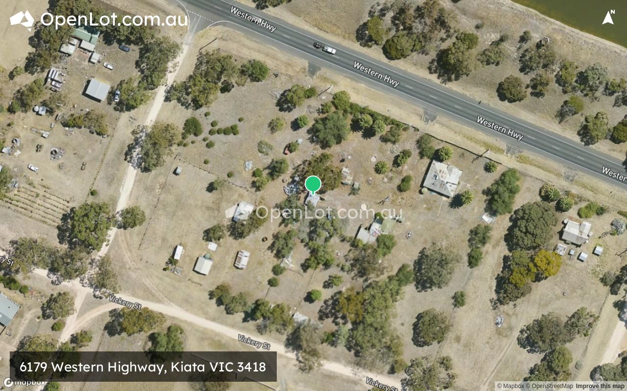
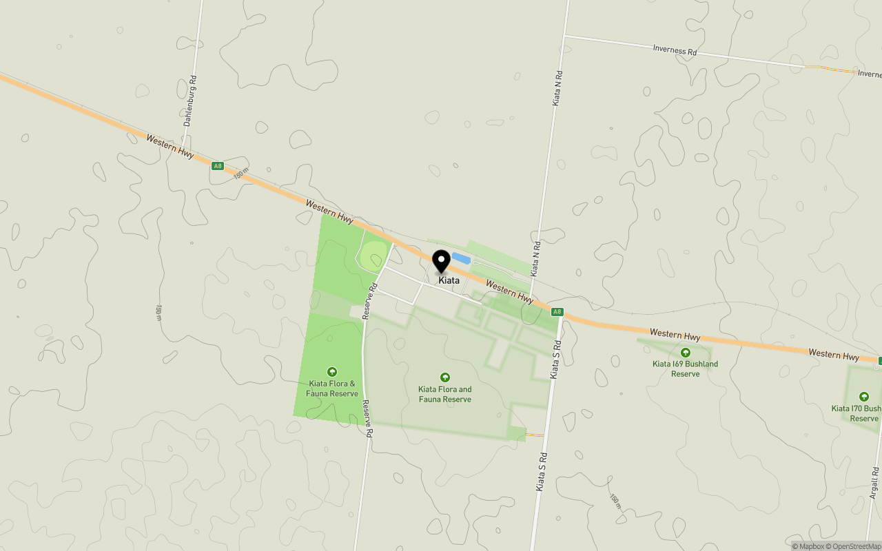
Location & Map for 6179 Western Highway, Kiata VIC 3418
Schools near 6179 Western Highway, Kiata VIC 3418
Overview
This information is estimated by the OpenLot research team. Let us know here to provide up-to-date information about this development.
| Total new homes | |
| Area Size | 1.20 hectares |
| City Council | Hindmarsh Shire Council |
| Developer | N/A |
Popular Estates near 6179 Western Highway, Kiata


Not exactly what you're looking for? Try surrounding suburbs
Horsham VIC 3400
10 estates | Horsham Rural City Council
57.1km south-east
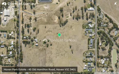
Haven VIC 3401
8 estates | Horsham Rural City Council
58.5km south-east
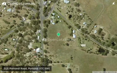
Pomonal VIC 3381
1 estate | Ararat Rural City Council
123.1km south-east
Naracoorte SA 5271
4 estates | Naracoorte Lucindale Council
110.3km south-west
Stawell VIC 3380
1 estate | Northern Grampians Shire Council
116.2km south-east
Bordertown SA 5268
1 estate | Tatiara District Council
86.9km west
Latest published articles


FAQs about 6179 Western Highway, Kiata VIC 3418
6179 Western Highway, Kiata VIC 3418 consists of 10 homes.
The total area for 6179 Western Highway, Kiata VIC 3418 is 1.20 hectares.
6179 Western Highway, Kiata VIC 3418 falls under Hindmarsh Shire Council.
Nearby schools for 6179 Western Highway, Kiata VIC 3418:
- Wimmera Lutheran College - 12.2km west
- Nhill College - 12.4km west
- St Patrick's School - 13.6km west
- Dimboola Primary School - 23.6km south-east
- Dimboola Memorial Secondary College - 23.8km south-east
- St Peter's Lutheran School - 24.4km south-east