
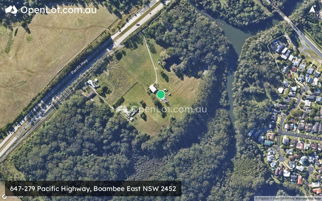
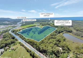
647-279 Pacific Highway, Boambee East NSW 2452
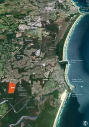
Location & Map for 647-279 Pacific Highway, Boambee East NSW 2452

Schools near 647-279 Pacific Highway, Boambee East NSW 2452
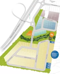
Overview
This information is estimated by the OpenLot research team. Let us know here to provide up-to-date information about this development.
| Total new homes | |
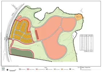
| Area Size | 9.52 hectares |
| City Council | Coffs Harbour City Council |
| Developer | N/A |
Updates for 647-279 Pacific Highway, Boambee East
Popular Estates near 647-279 Pacific Highway, Boambee East

Not exactly what you're looking for? Try surrounding suburbs
Moonee Beach NSW 2450
2 estates | Coffs Harbour City Council
17.5km north
Emerald Beach NSW 2456
1 estate | Coffs Harbour City Council
21.4km north
North Boambee Valley NSW 2450
2 estates | Coffs Harbour City Council
3.7km north
Bonville NSW 2450
2 estates | Coffs Harbour City Council
7.0km south-west
Coffs Harbour NSW 2450
3 estates | Coffs Harbour City Council
5.8km north-east
Urunga NSW 2455
2 estates | Bellingen Shire Council
20.2km south
Latest published articles


FAQs about 647-279 Pacific Highway, Boambee East NSW 2452
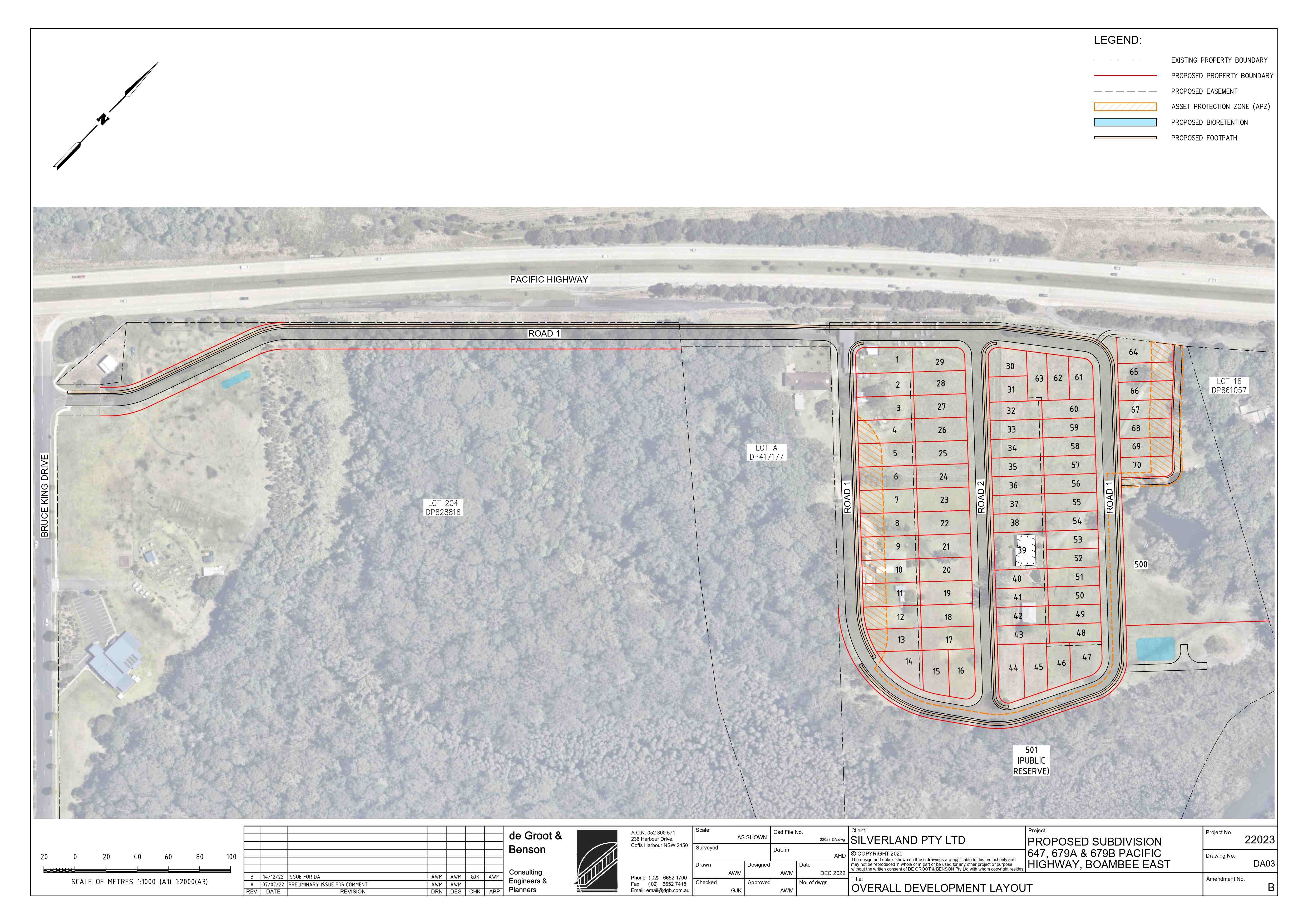
647-279 Pacific Highway, Boambee East NSW 2452 consists of 70 homes.
The total area for 647-279 Pacific Highway, Boambee East NSW 2452 is 9.52 hectares.
647-279 Pacific Highway, Boambee East NSW 2452 falls under Coffs Harbour City Council.
Nearby schools for 647-279 Pacific Highway, Boambee East NSW 2452:
- Boambee Public School - 640m north
- Coffs Harbour Learning Centre - 1.0km south-west
- Coffs Harbour Bible Church School - 1.2km east
- Toormina High School - 1.4km south-east
- Toormina Public School - 1.6km south
- Mary Help of Christians Primary School Sawtell - 2.1km south