
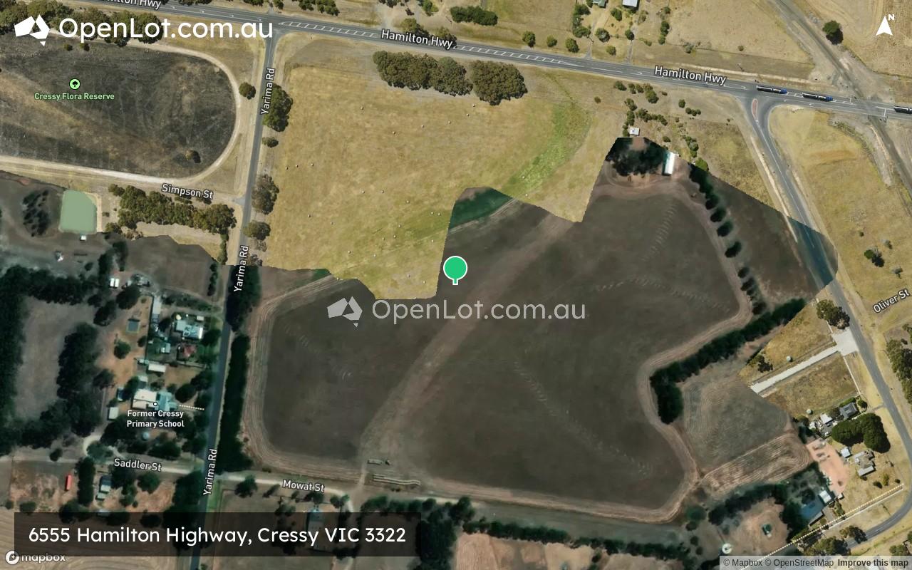
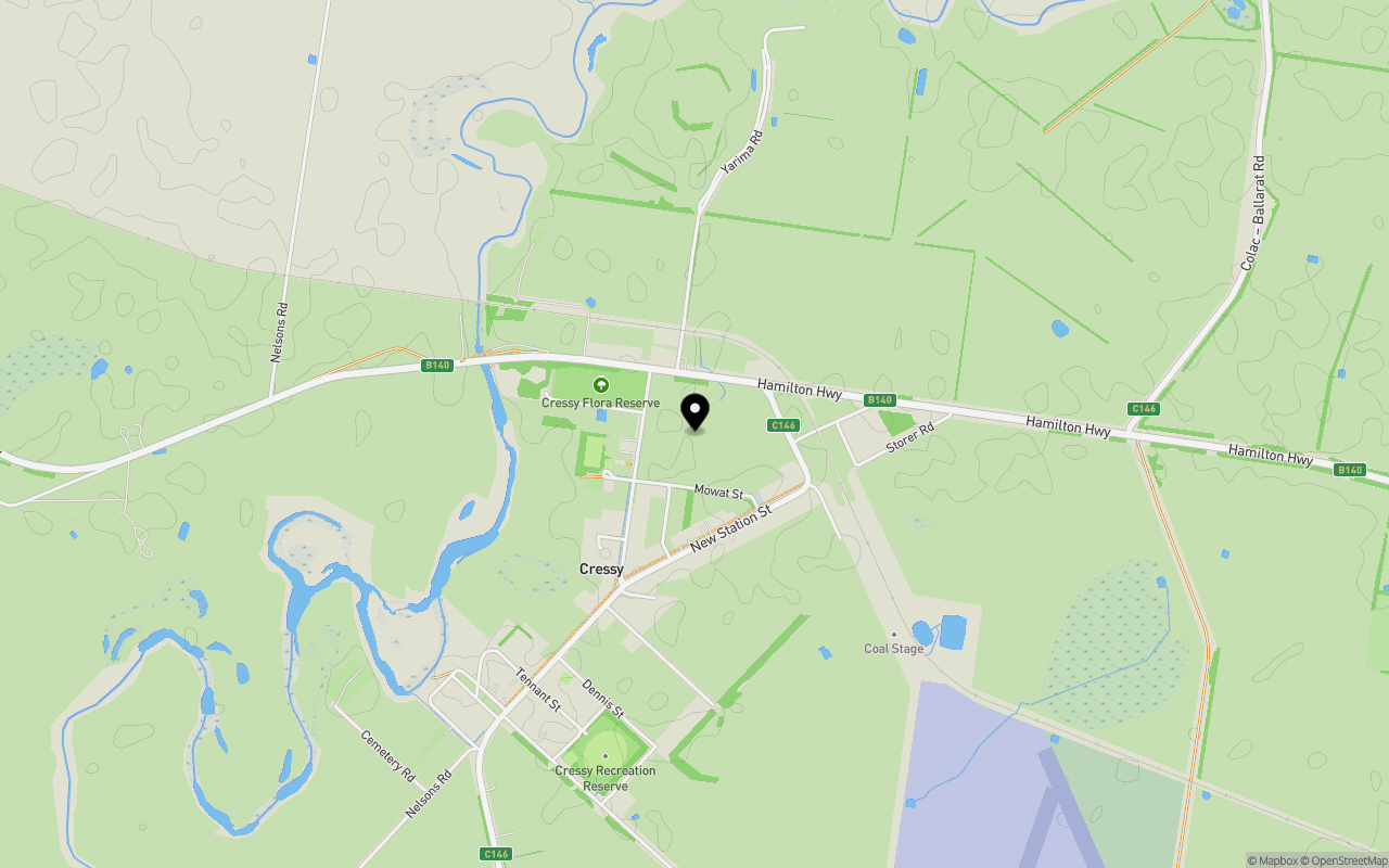
Location & Map for 6555 Hamilton Highway, Cressy VIC 3322
Schools near 6555 Hamilton Highway, Cressy VIC 3322
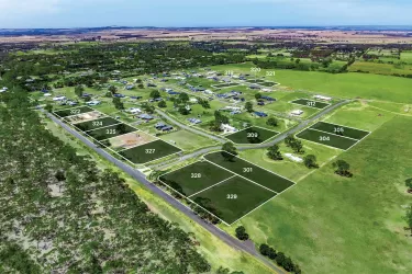
Overview
This information is estimated by the OpenLot research team. Let us know here to provide up-to-date information about this development.
| Total new homes | |
| Area Size | 13.76 hectares |
| City Council | Colac Otway Shire |
| Developer | N/A |
Land Price Trend in Cressy VIC 3322
Below shows the price trend from vacant land sales recorded in Cressy VIC 3322. *
Popular Estates near 6555 Hamilton Highway, Cressy


Not exactly what you're looking for? Try surrounding suburbs
Elliminyt VIC 3250
5 estates | Colac Otway Shire
36.7km south
Inverleigh VIC 3321
3 estates | Golden Plains Shire Council
38.1km east
Teesdale VIC 3328
3 estates | Golden Plains Shire Council
38.0km east
Shelford VIC 3329
1 estate | Golden Plains Shire Council
30.4km east
Colac VIC 3250
6 estates | Colac Otway Shire
35.2km south
Birregurra VIC 3242
1 estate | Colac Otway Shire
37.0km south-east
Latest published articles


FAQs about 6555 Hamilton Highway, Cressy VIC 3322
6555 Hamilton Highway, Cressy VIC 3322 consists of 21 homes.
The total area for 6555 Hamilton Highway, Cressy VIC 3322 is 13.76 hectares.
6555 Hamilton Highway, Cressy VIC 3322 falls under Colac Otway Shire.
Nearby schools for 6555 Hamilton Highway, Cressy VIC 3322:
- Rokewood Primary School - 15.5km north-east
- Beeac Primary School - 18.7km south
- Cape Clear Primary School - 26.2km north
- Alvie Primary School - 26.7km south-west
- Lismore Primary School - 27.3km west
- St Brendan's School - 29.1km south