
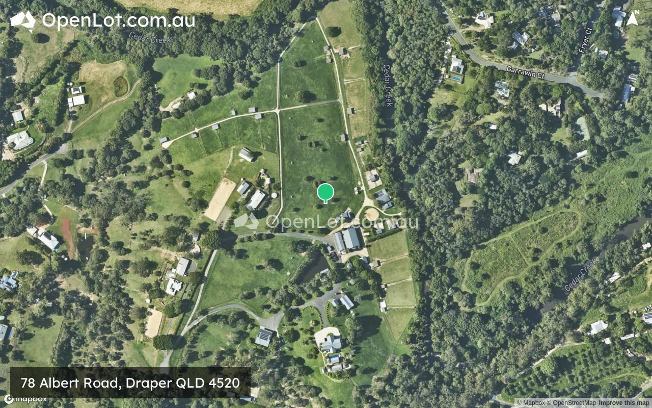
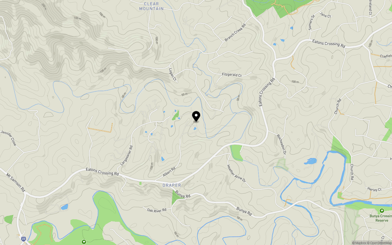
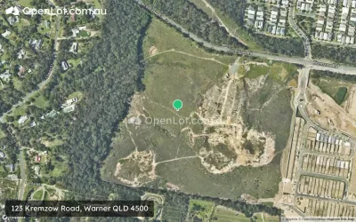
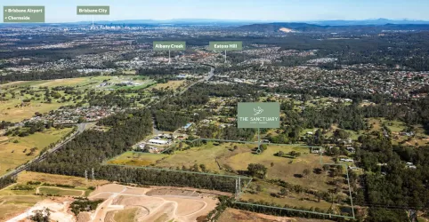
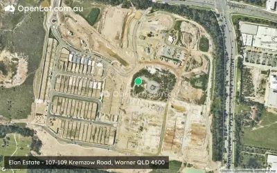
Location & Map for 78 Albert Road, Draper QLD 4520
Schools near 78 Albert Road, Draper QLD 4520
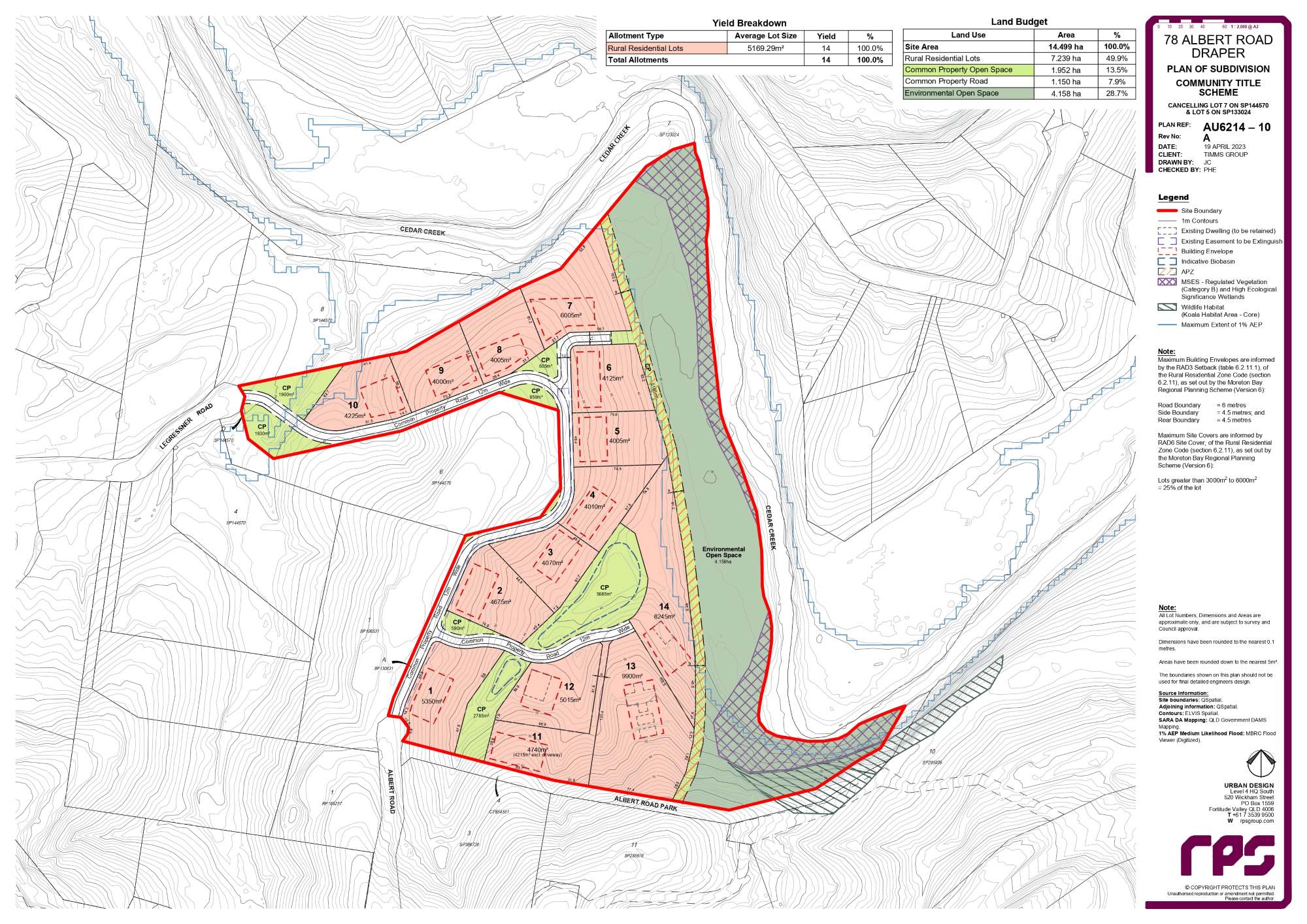
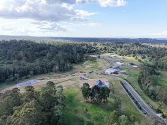
Overview
This information is estimated by the OpenLot research team. Let us know here to provide up-to-date information about this development.
| Total new homes | |
| Area Size | 11.36 hectares |
| Growth Region | Greater Brisbane Growth Areas |
| City Council | Moreton Bay Regional Council |
| Developer | N/A |
| Distance to |
Updates for 78 Albert Road, Draper
Popular Estates near 78 Albert Road, Draper


Not exactly what you're looking for? Try surrounding suburbs
Albany Creek QLD 4035
11 estates | Moreton Bay Regional Council
5.3km east
Warner QLD 4500
5 estates | Moreton Bay Regional Council
4.8km north-east
Samford Valley QLD 4520
2 estates | Moreton Bay Regional Council
5.1km south-west
Ferny Grove QLD 4055
4 estates | Brisbane City Council
6.3km south
Samford Village QLD 4520
1 estate | Moreton Bay Regional Council
3.4km south-west
Bunya QLD 4055
1 estate | Moreton Bay Regional Council
3.9km south-east
Latest published articles


FAQs about 78 Albert Road, Draper QLD 4520
78 Albert Road, Draper QLD 4520 consists of 14 homes.
The total area for 78 Albert Road, Draper QLD 4520 is 11.36 hectares.
78 Albert Road, Draper QLD 4520 falls under Moreton Bay Regional Council.
78 Albert Road, Draper QLD 4520 is 18 km north-west of Brisbane CBD.
Nearby schools for 78 Albert Road, Draper QLD 4520:
- Samford State School - 4.7km south-west
- Eatons Hill State School - 5.0km east
- Good Shepherd Christian School - 5.8km east
- Albany Creek State School - 6.4km east
- All Saints Primary School - 6.5km east
- Albany Creek State High School - 6.5km east