
Property types for sale
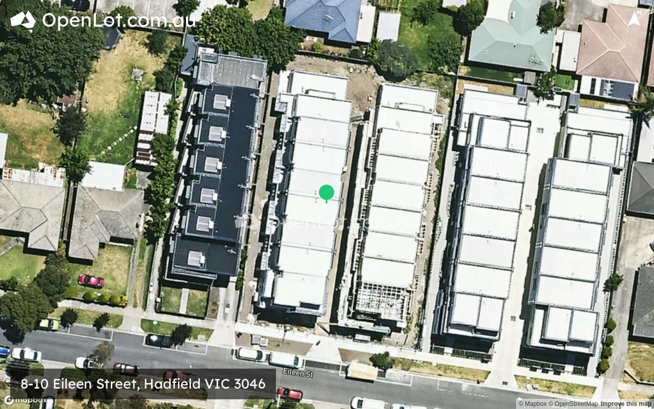
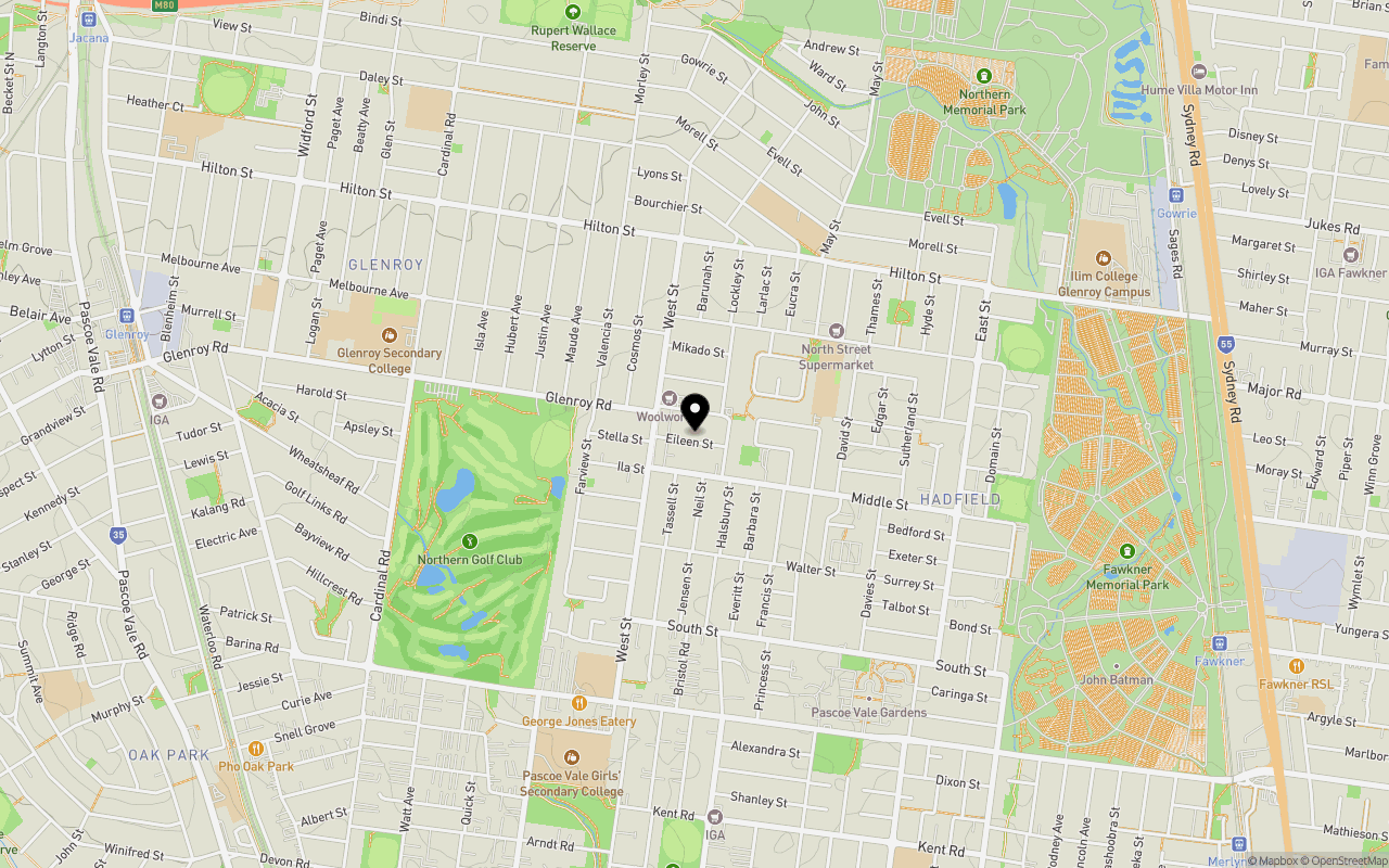
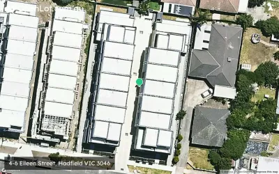
Location & Map for 8-10 Eileen Street, Hadfield VIC 3046
Schools near 8-10 Eileen Street, Hadfield VIC 3046
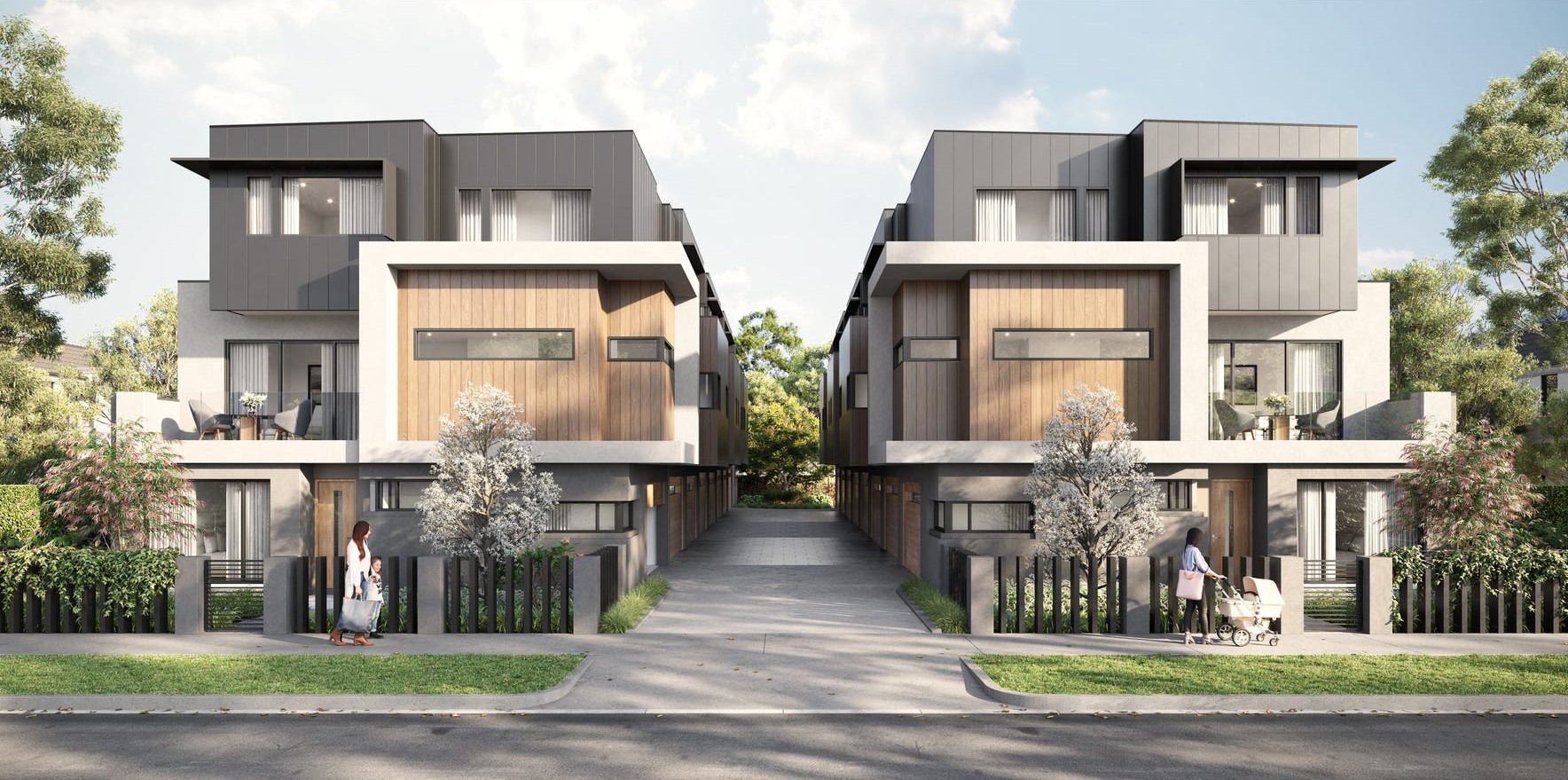
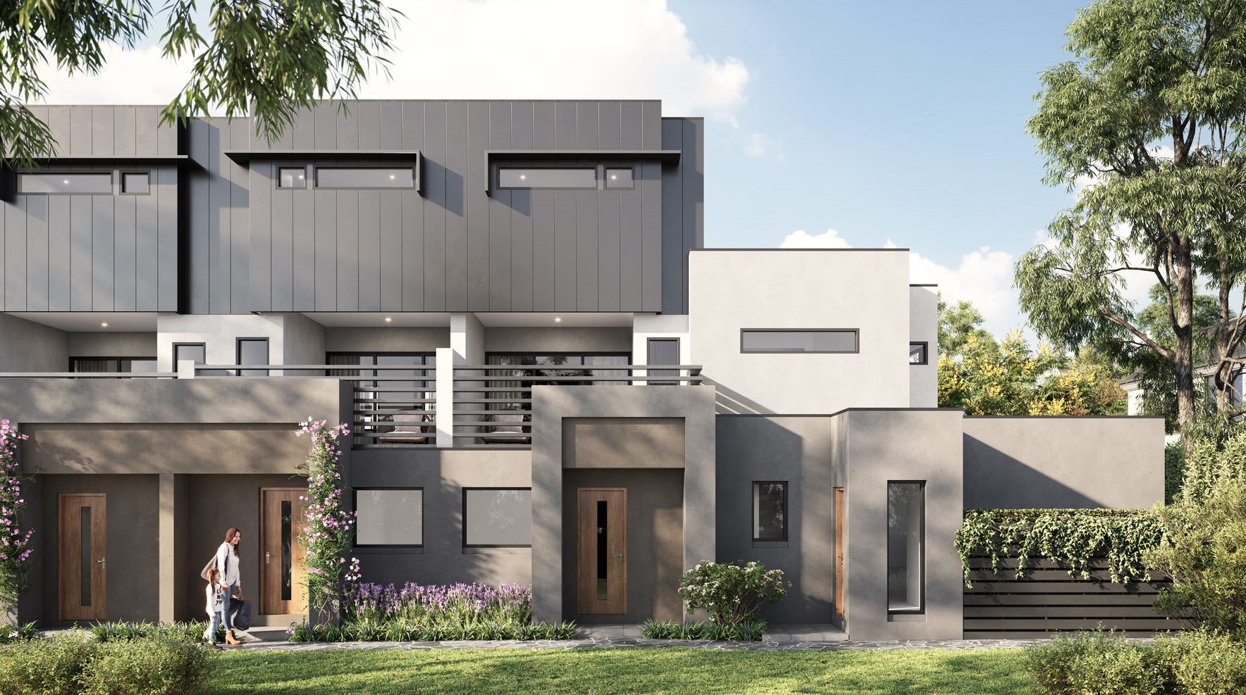
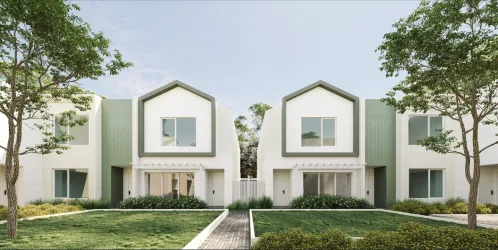
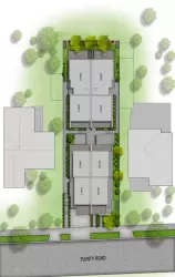
Overview
This information is estimated by the OpenLot research team. Let us know here to provide up-to-date information about this development.
| Total new homes | |
| Area Size | 0.14 hectares |
| Growth Region | Melbourne North Growth Corridor |
| City Council | Merri-bek City Council |
| Developer | N/A |
| Project Marketer | Gold 4Life |
| Distance to |
Updates for 8-10 Eileen Street, Hadfield
Land Price Trend in Hadfield VIC 3046
Below shows the price trend from vacant land sales recorded in Hadfield VIC 3046.
The data and information provided by Terralytics (Aust) Pty Ltd (Terralytics Data) is general in nature and is not intended to constitute professional advice. Read more
It should not be relied upon as a substitute for legal, financial, valuation, or other specialist advice relevant to your specific circumstances.
Terralytics uses commercially reasonable endeavours to ensure the Terralytics Data is current and accurate. However, as the Terralytics Data incorporates information sourced from third parties, Terralytics makes no representation or warranty — express or implied — as to its accuracy, completeness, or currency. To the maximum extent permitted by applicable law, Terralytics excludes all liability for any loss or damage (including consequential loss) arising out of or in connection with reliance on the Terralytics Data, whether arising in contract, tort (including negligence), statute, or otherwise.
Popular Estates near 8-10 Eileen Street, Hadfield


Not exactly what you're looking for? Try surrounding suburbs
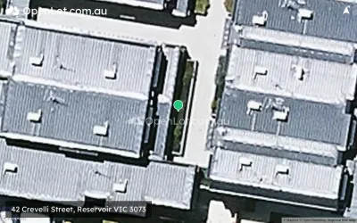
Reservoir VIC 3073
19 estates | Darebin City Council
3.8km east
Oak Park VIC 3046
1 estate | Merri-bek City Council
3.1km west
Strathmore VIC 3041
2 estates | Moonee Valley City Council
3.8km south-west
Pascoe Vale South VIC 3044
1 estate | Merri-bek City Council
3.7km south
Pascoe Vale VIC 3044
1 estate | Merri-bek City Council
2.3km south-west
Glenroy VIC 3046
2 estates | Merri-bek City Council
2.3km north-west
Latest published articles


FAQs about 8-10 Eileen Street, Hadfield VIC 3046
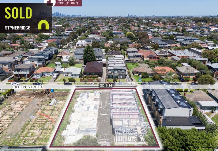
8-10 Eileen Street, Hadfield VIC 3046 consists of 16 homes.
The total area for 8-10 Eileen Street, Hadfield VIC 3046 is 0.14 hectares.
8-10 Eileen Street, Hadfield VIC 3046 falls under Merri-bek City Council.
8-10 Eileen Street, Hadfield VIC 3046 is 12 km north of Melbourne CBD.
Gold 4Life is the project marketer for 8-10 Eileen Street, Hadfield VIC 3046.
Nearby schools for 8-10 Eileen Street, Hadfield VIC 3046:
- St Thomas More's School - 464m east
- Belle Vue Park Primary School - 840m north-east
- Westbreen Primary School - 969m south
- Glenroy College - 1.1km west
- Pascoe Vale Girls Secondary College - 1.1km south
- Glenroy Central Primary School - 1.3km west