
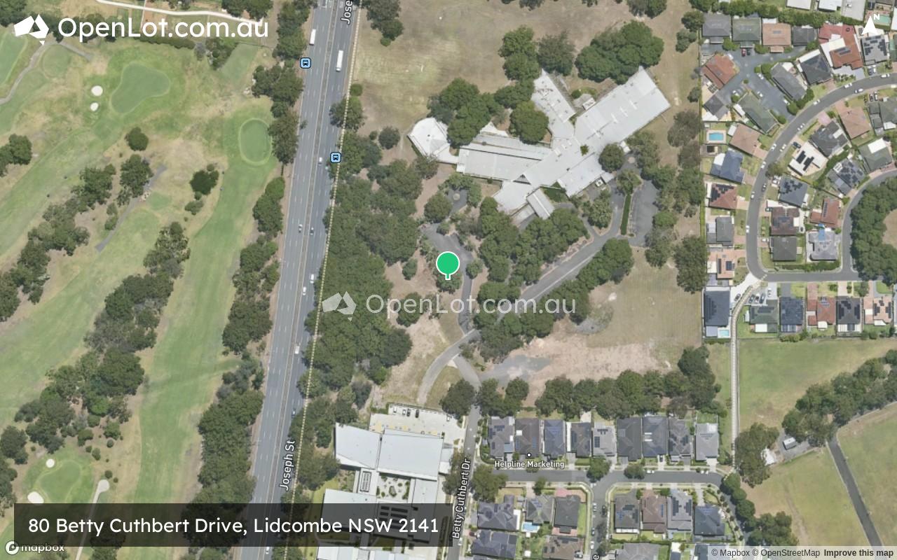
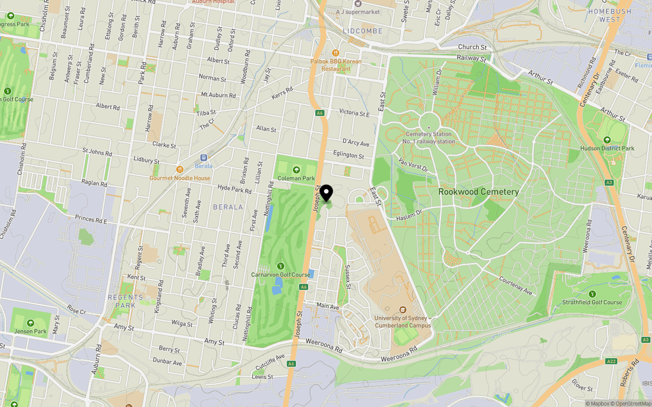
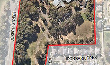
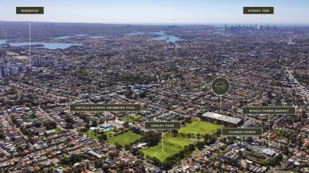
Location & Map for 80 Betty Cuthbert Drive, Lidcombe NSW 2141
Schools near 80 Betty Cuthbert Drive, Lidcombe NSW 2141
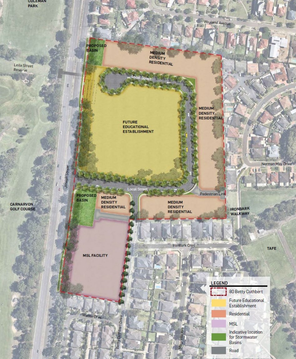
Overview
This information is estimated by the OpenLot research team. Let us know here to provide up-to-date information about this development.
| Total new homes | |
| Area Size | 5.87 hectares |
| Growth Region | Sydney North West Growth Areas |
| City Council | Cumberland City Council |
| Developer | N/A |
| Distance to |
Updates for 80 Betty Cuthbert Drive, Lidcombe
Popular Estates near 80 Betty Cuthbert Drive, Lidcombe


Not exactly what you're looking for? Try surrounding suburbs
Breakfast Point NSW 2137
1 estate | City of Canada Bay Council
6.6km east
Enfield NSW 2136
1 estate | Burwood Council
5.6km south-east
Putney NSW 2112
1 estate | Ryde City Council
7.1km north-east
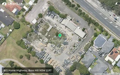
Bass Hill NSW 2197
1 estate | City of Canterbury Bankstown
5.8km south-west
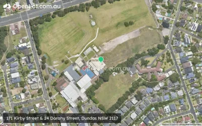
Dundas NSW 2117
1 estate | City of Parramatta Council
6.8km north
Homebush West NSW 2140
1 estate | Strathbogie Shire Council
3.2km east
Latest published articles


FAQs about 80 Betty Cuthbert Drive, Lidcombe NSW 2141
The total area for 80 Betty Cuthbert Drive, Lidcombe NSW 2141 is 5.87 hectares.
80 Betty Cuthbert Drive, Lidcombe NSW 2141 falls under Cumberland City Council.
80 Betty Cuthbert Drive, Lidcombe NSW 2141 is 13 km west of Sydney CBD.
Nearby schools for 80 Betty Cuthbert Drive, Lidcombe NSW 2141:
- Berala Public School - 1.5km north-west
- St Joachim's Catholic Primary School - 1.5km north
- St Peter Chanel Catholic Primary School - 1.5km west
- Regents Park Christian School - 1.6km south-west
- Lidcombe Public School - 1.6km north
- St Joseph the Worker Catholic Primary School - 2.0km north-west