
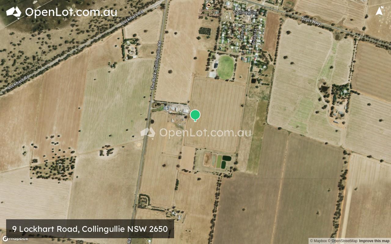
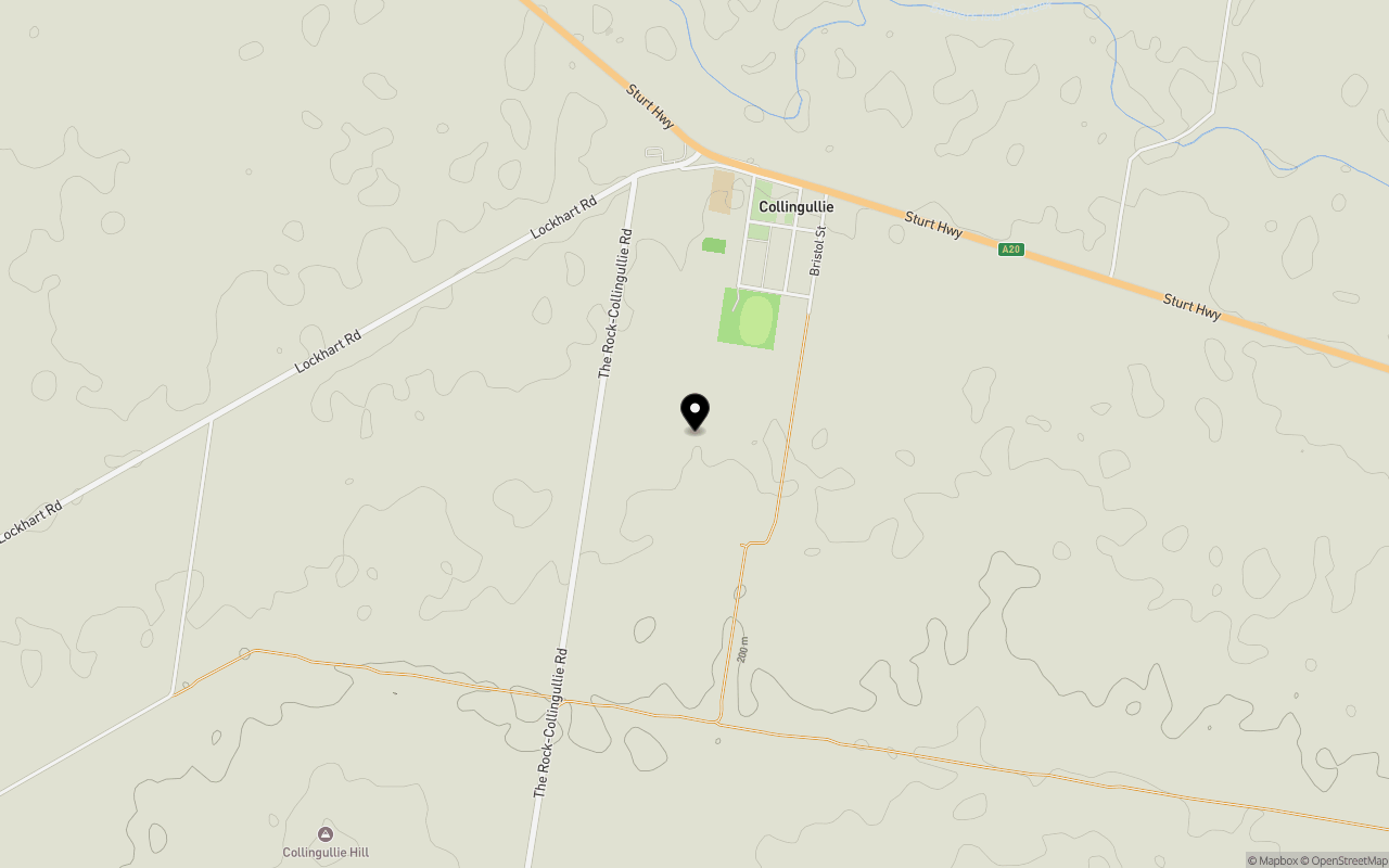
Location & Map for 9 Lockhart Road, Collingullie NSW 2650
Schools near 9 Lockhart Road, Collingullie NSW 2650
Overview
This information is estimated by the OpenLot research team. Let us know here to provide up-to-date information about this development.
| Total new homes | |
| Area Size | 54.02 hectares |
| City Council | Wagga Wagga City Council |
| Developer | N/A |
Updates for 9 Lockhart Road, Collingullie
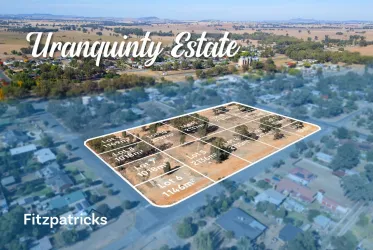
Popular Estates near 9 Lockhart Road, Collingullie
Not exactly what you're looking for? Try surrounding suburbs
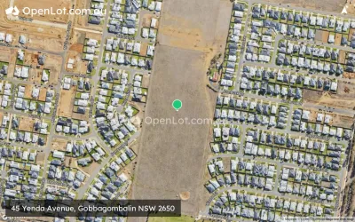
Gobbagombalin NSW 2650
3 estates | Wagga Wagga City Council
14.5km east
Turvey Park NSW 2650
1 estate | Wagga Wagga City Council
22.3km east
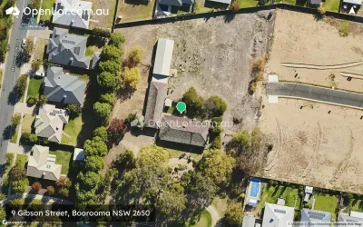
Boorooma NSW 2650
4 estates | Wagga Wagga City Council
22.9km east
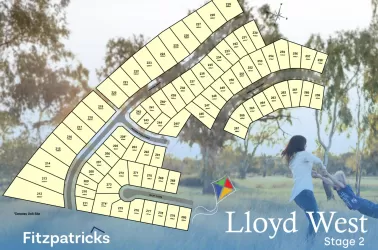
Lloyd NSW 2650
1 estate | Wagga Wagga City Council
20.2km east
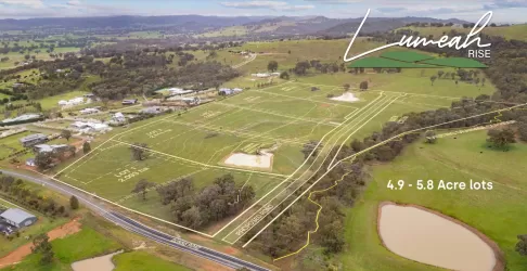
Springvale NSW 2650
1 estate | Wagga Wagga City Council
21.8km south-east
Uranquinty NSW 2652
1 estate | Wagga Wagga City Council
16.0km south-east
Latest published articles


FAQs about 9 Lockhart Road, Collingullie NSW 2650
9 Lockhart Road, Collingullie NSW 2650 consists of 102 homes.
The total area for 9 Lockhart Road, Collingullie NSW 2650 is 54.02 hectares.
9 Lockhart Road, Collingullie NSW 2650 falls under Wagga Wagga City Council.
Nearby schools for 9 Lockhart Road, Collingullie NSW 2650:
- Uranquinty Public School - 15.2km south-east
- Kapooka Public School - 16.7km east
- Riverina Environmental Education Centre - 17.1km east
- The Rock Central School - 18.9km south
- Ashmont Public School - 19.1km east
- Holy Trinity West Wagga - 19.2km east