
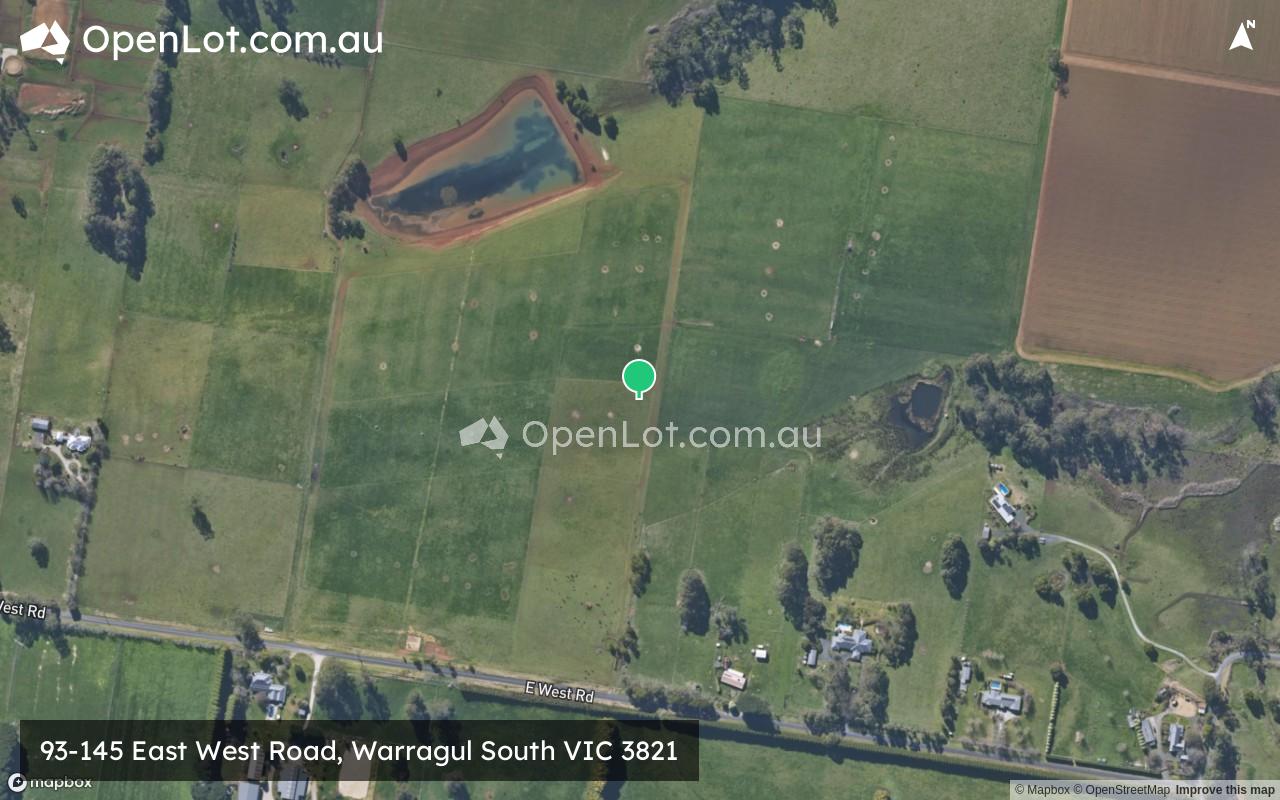
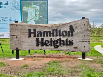
93-145 East West Road, Warragul South VIC 3821
Location & Map for 93-145 East West Road, Warragul South VIC 3821
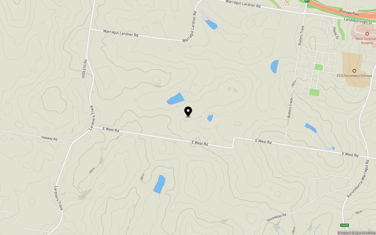
Schools near 93-145 East West Road, Warragul South VIC 3821
Overview
This information is estimated by the OpenLot research team. Let us know here to provide up-to-date information about this development.
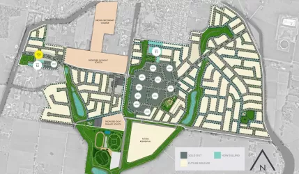
| Total new homes | |
| Area Size | 36.74 hectares |
| Growth Region | Gippsland Regional Growth Areas |
| City Council | Baw Baw Shire Council |
| Developer | N/A |
| Distance to |
Popular Estates near 93-145 East West Road, Warragul South


Not exactly what you're looking for? Try surrounding suburbs
Longwarry VIC 3816
8 estates | Baw Baw Shire Council
14.7km north-west
Yarragon VIC 3823
2 estates | Baw Baw Shire Council
16.7km east
Nilma VIC 3821
1 estate | Baw Baw Shire Council
9.2km north-east
Drouin South VIC 3818
1 estate | Baw Baw Shire Council
8.8km west
Warragul VIC 3820
30 estates | Baw Baw Shire Council
7.3km north-east
Drouin VIC 3818
34 estates | Baw Baw Shire Council
8.7km north
Latest published articles


FAQs about 93-145 East West Road, Warragul South VIC 3821
93-145 East West Road, Warragul South VIC 3821 consists of 334 homes.
The total area for 93-145 East West Road, Warragul South VIC 3821 is 36.74 hectares.
93-145 East West Road, Warragul South VIC 3821 falls under Baw Baw Shire Council.
93-145 East West Road, Warragul South VIC 3821 is 92 km south-east of Melbourne CBD.
Nearby schools for 93-145 East West Road, Warragul South VIC 3821:
- ECG Secondary College - 2.2km east
- Warragul & District Specialist School - 2.8km north-east
- Warragul Regional College - 2.9km north-east
- St Joseph's School - 2.9km north
- Marist-Sion College - 2.9km north-east
- Lardner and District Primary School - 3.0km south-west