
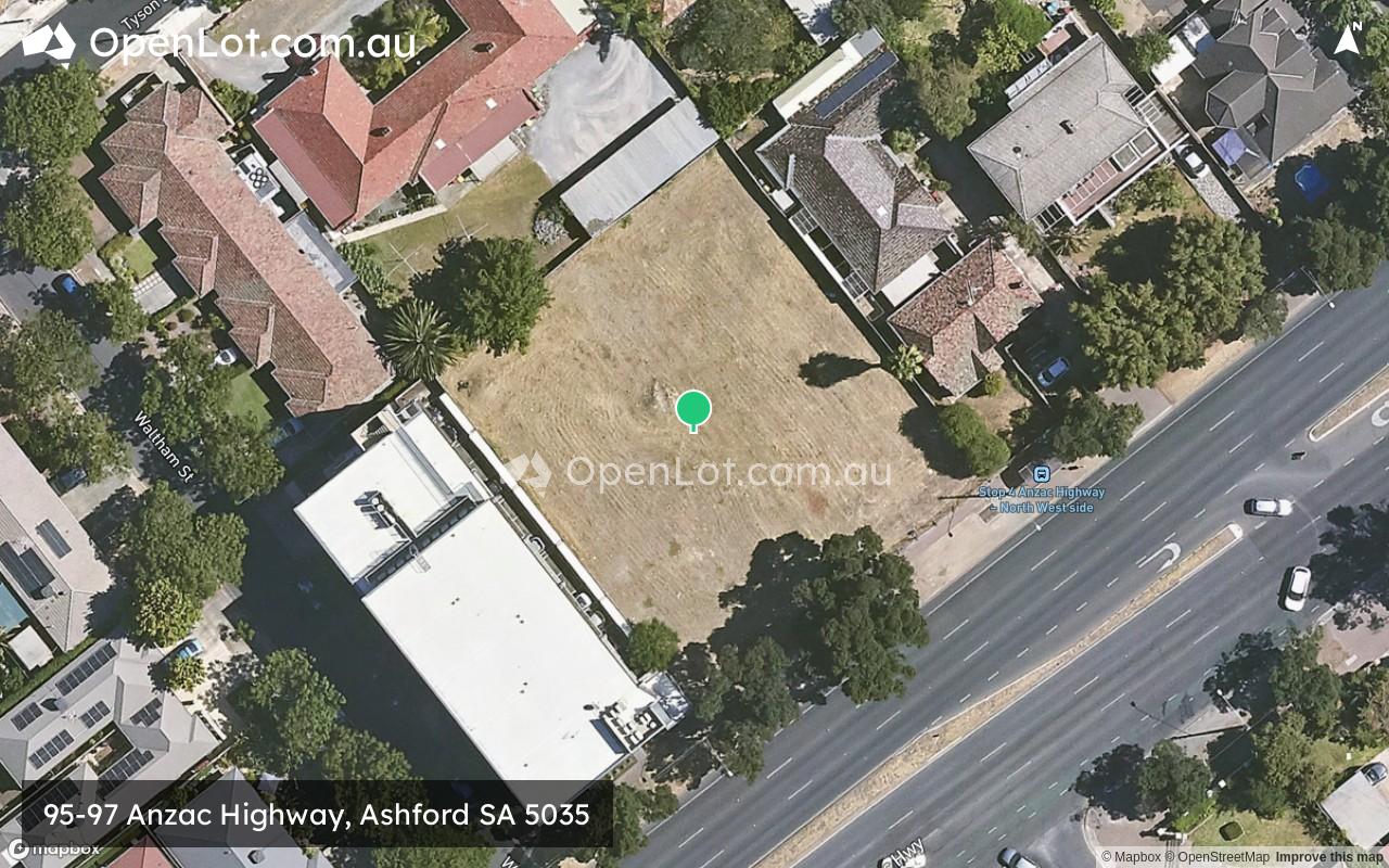
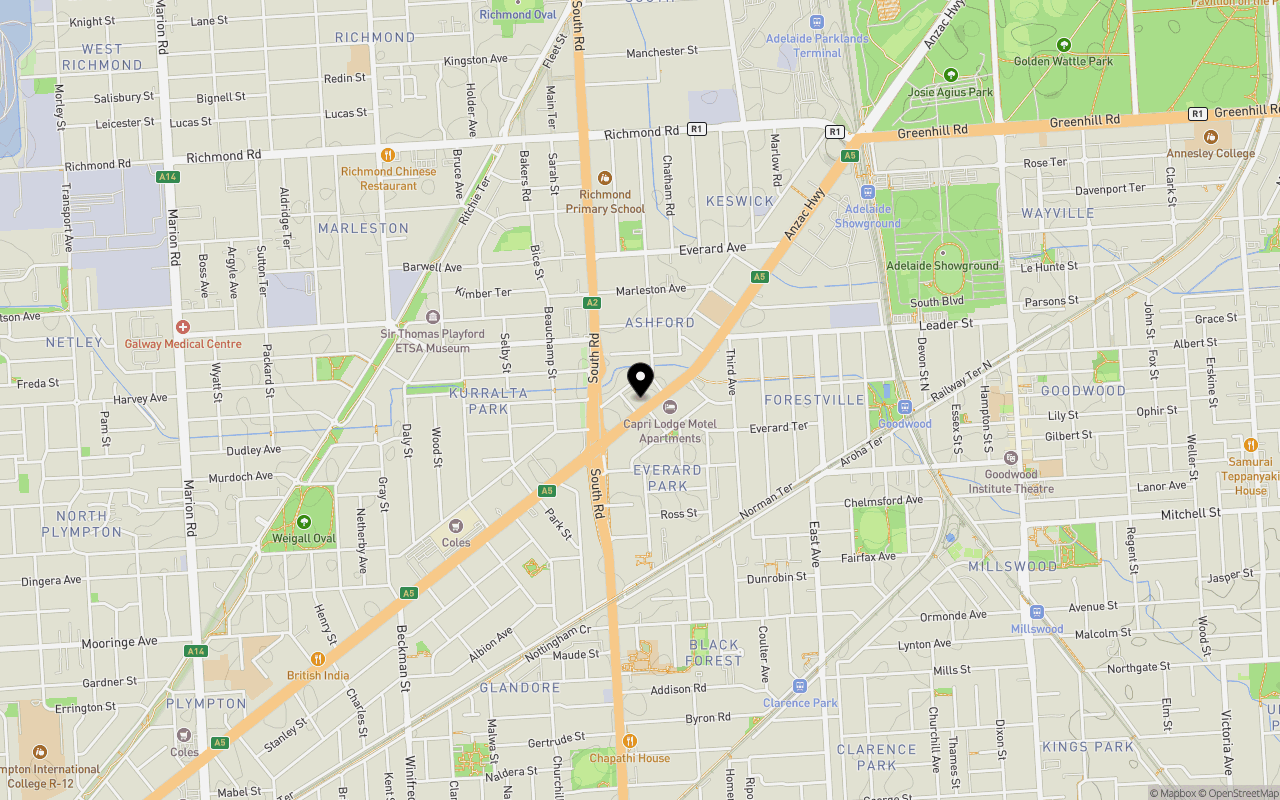
Location & Map for 95-97 Anzac Highway, Ashford SA 5035
Schools near 95-97 Anzac Highway, Ashford SA 5035
Overview
This information is estimated by the OpenLot research team. Let us know here to provide up-to-date information about this development.
| Total new homes | |
| Area Size | 0.18 hectares |
| Growth Region | Adelaide South Growth Areas |
| City Council | City of West Torrens |
| Developer | N/A |
| Distance to |
Popular Estates near 95-97 Anzac Highway, Ashford


Not exactly what you're looking for? Try surrounding suburbs
Adelaide SA 5000
2 estates | Adelaide City Council
3.0km north-east
Plympton SA 5038
2 estates | City of West Torrens
2.4km south-west
Unley Park SA 5061
1 estate | City of Unley
2.8km south-east
Forestville SA 5035
1 estate | City of Unley
599m south-east
Mile End SA 5031
1 estate | City of West Torrens
2.5km north
Unley SA 5061
1 estate | City of Unley
2.9km east
Latest published articles


FAQs about 95-97 Anzac Highway, Ashford SA 5035
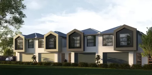
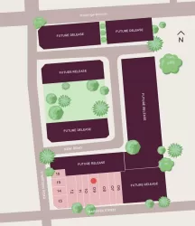
95-97 Anzac Highway, Ashford SA 5035 consists of 14 homes.
The total area for 95-97 Anzac Highway, Ashford SA 5035 is 0.18 hectares.
95-97 Anzac Highway, Ashford SA 5035 falls under City of West Torrens.
95-97 Anzac Highway, Ashford SA 5035 is 3 km south-west of Adelaide CBD.
Nearby schools for 95-97 Anzac Highway, Ashford SA 5035:
- Aspect Treetop School - 135m north-east
- Richmond Primary School - 902m north
- Black Forest Primary School - 1.0km south
- Goodwood Primary School - 1.4km east
- St Thomas' School - 1.7km east
- Tenison Woods Catholic Primary School - 1.7km north-west