
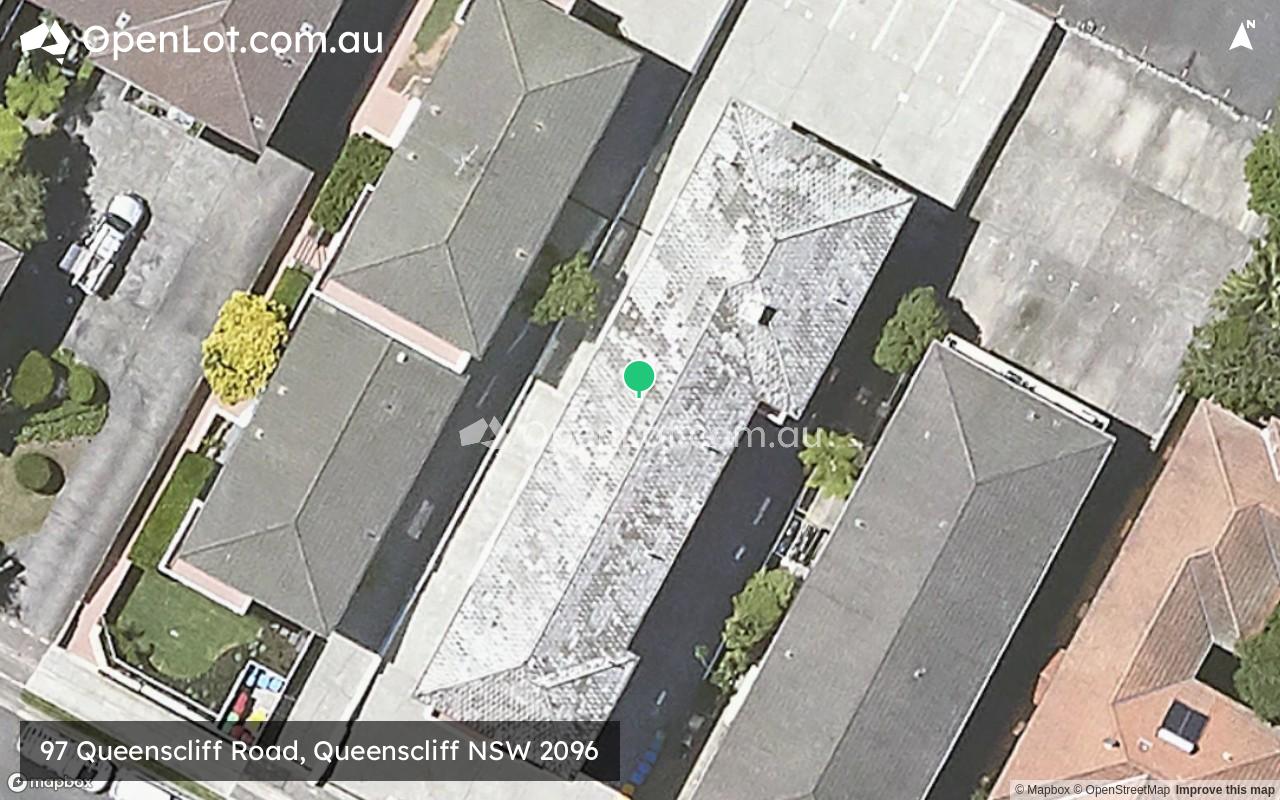
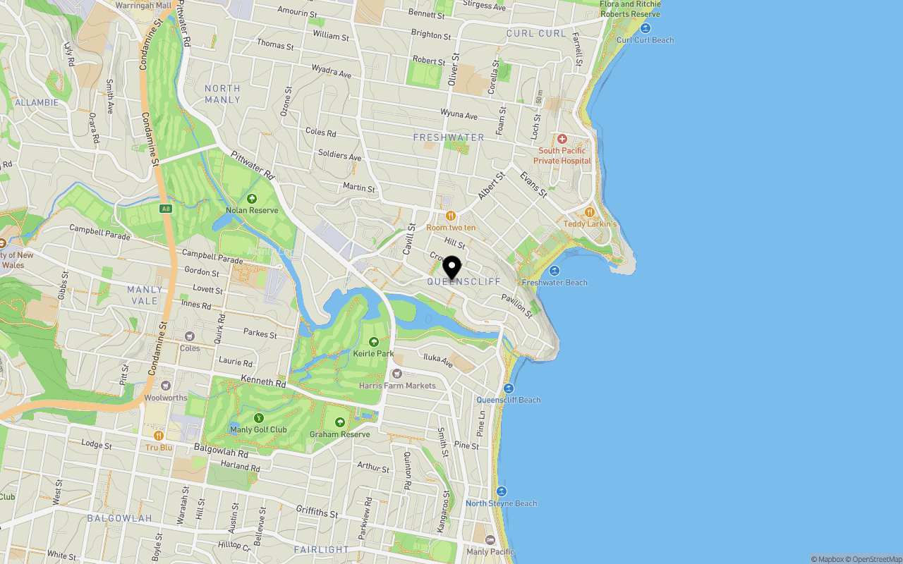
Location & Map for 97 Queenscliff Road, Queenscliff NSW 2096
Schools near 97 Queenscliff Road, Queenscliff NSW 2096
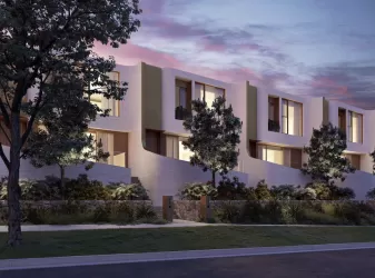
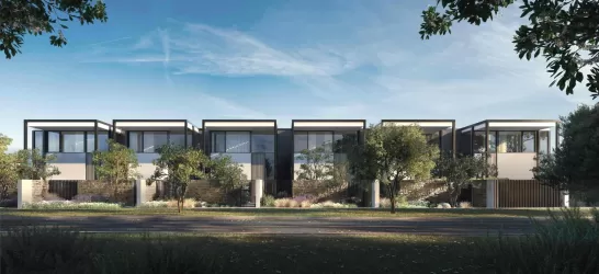
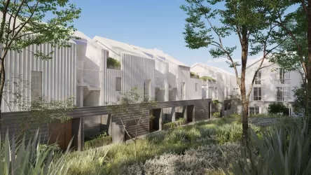
Overview
This information is estimated by the OpenLot research team. Let us know here to provide up-to-date information about this development.
| Total new homes | |
| Area Size | 0.08 hectares |
| City Council | Northern Beaches Council |
| Developer | N/A |
| Distance to |
Updates for 97 Queenscliff Road, Queenscliff
Popular Estates near 97 Queenscliff Road, Queenscliff


Not exactly what you're looking for? Try surrounding suburbs
Willoughby NSW 2068
3 estates | Willoughby City Council
8.6km west
Naremburn NSW 2065
1 estate | Willoughby City Council
8.9km south-west
Crows Nest NSW 2065
2 estates | North Sydney Council
9.3km south-west
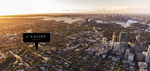
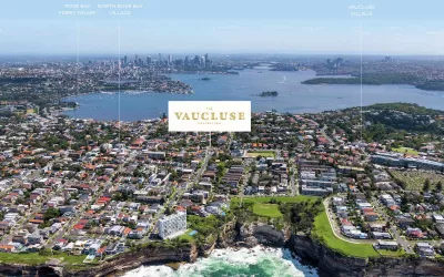
Vaucluse NSW 2030
1 estate | Woollahra Municipal Council
8.1km south
Northbridge NSW 2063
1 estate | Willoughby City Council
7.1km south-west
Frenchs Forest NSW 2086
1 estate | Northern Beaches Council
6.8km north-west
Latest published articles


FAQs about 97 Queenscliff Road, Queenscliff NSW 2096
97 Queenscliff Road, Queenscliff NSW 2096 consists of 15 homes.
The total area for 97 Queenscliff Road, Queenscliff NSW 2096 is 0.08 hectares.
97 Queenscliff Road, Queenscliff NSW 2096 falls under Northern Beaches Council.
97 Queenscliff Road, Queenscliff NSW 2096 is 13 km north-east of Sydney CBD.
Nearby schools for 97 Queenscliff Road, Queenscliff NSW 2096:
- Stella Maris College - 451m south
- St John the Baptist Catholic Primary School - 809m north
- Harbord Public School - 1.1km north
- Northern Beaches Secondary College Mackellar Girls Campus - 1.1km west
- Stewart House School - 1.2km north-east
- St Mary's Catholic Primary School - 1.4km south