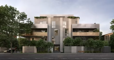
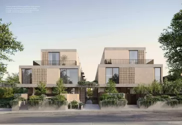
Housing Estates in Armadale, VIC 3143
1 result

Suburb Profile for Armadale VIC 3143
Land for Sale, House and Land Packages and Townhouses in Armadale VIC 3143 across 1 estate. Below are a snapshot of this suburb via buyer demand index.
| Total developments | 1 |
| City council | Stonnington City Council |
| Nearby distances |
6 km south-east to Melbourne CBD 26 km south-east to Melbourne Airport |
Popular Estates near Armadale VIC 3143

Schools in Armadale VIC 3143
Suburbs near Armadale VIC 3143
Caulfield North VIC 3161
1 estate | Glen Eira City Council
1.5km south
Prahran VIC 3181
2 estates | Stonnington City Council
1.6km north-west
Malvern VIC 3144
1 estate | Stonnington City Council
1.8km east
Toorak VIC 3142
1 estate | Stonnington City Council
1.9km north
Balaclava VIC 3183
2 estates | Port Phillip City Council
2.5km south-west
Kooyong VIC 3144
1 estate | Stonnington City Council
2.6km north-east
Vacancy Rate in Armadale VIC 3143
View full vacancy rate history in Armadale VIC 3143 via SQM Research
FAQs about Armadale VIC 3143
Armadale VIC 3143 falls under Stonnington City Council.
Armadale VIC 3143 is near the following:
- 6 km south-east to Melbourne CBD
- 26 km south-east to Melbourne Airport
There are 3 schools registered in Armadale VIC 3143.
- Armadale Primary School
- Lauriston Girls' School
- The King David School
