
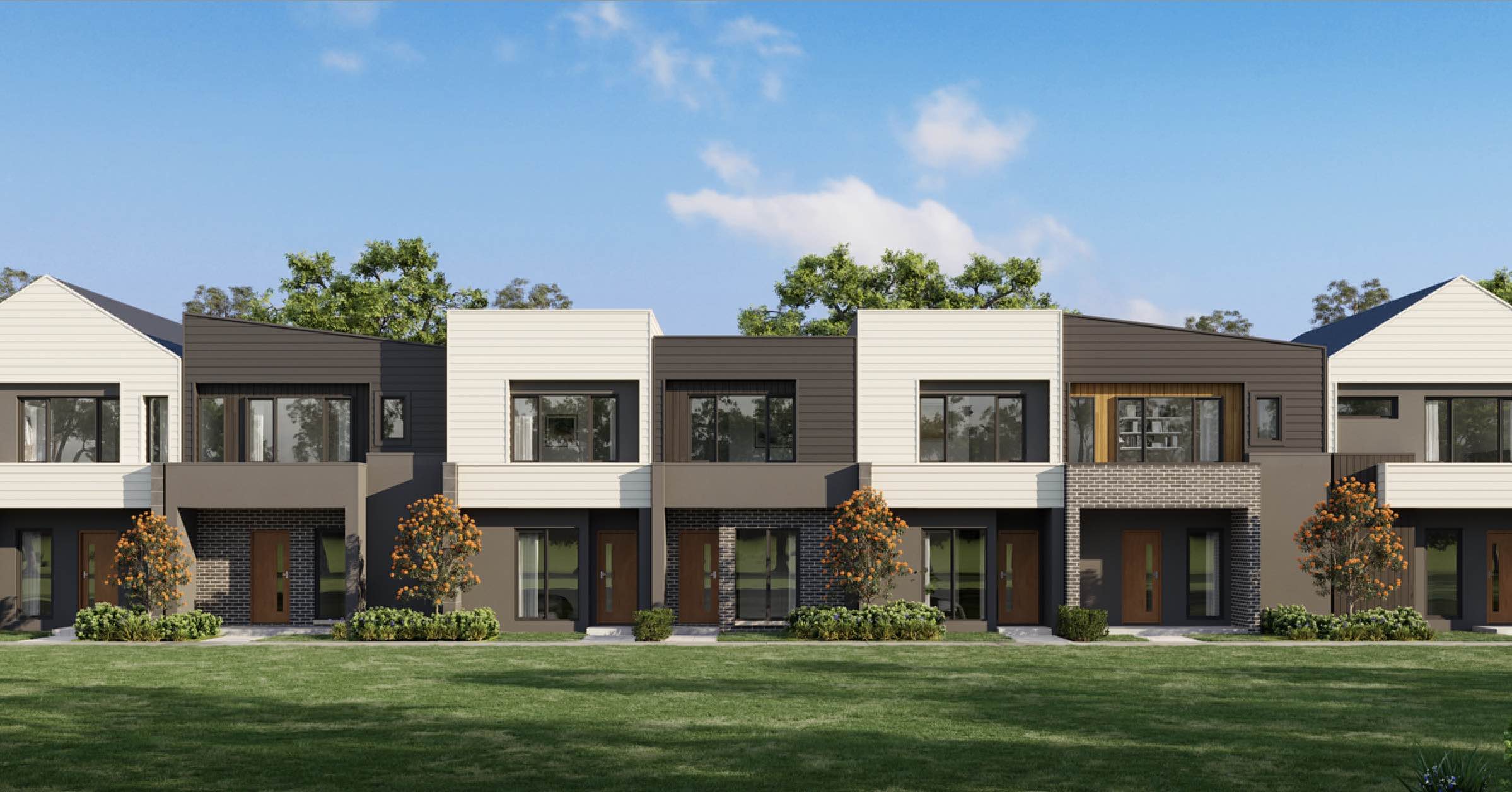


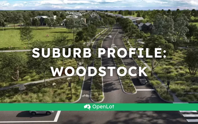
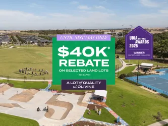
Atticus Estate - Woodstock
[LIMITED OFFER] Townhouses Now available! Register for your appointment!


- 4 bed Calluna Townhomes now available
- Limited SMSF Offer!
- 5 Year Rental Guarantee!
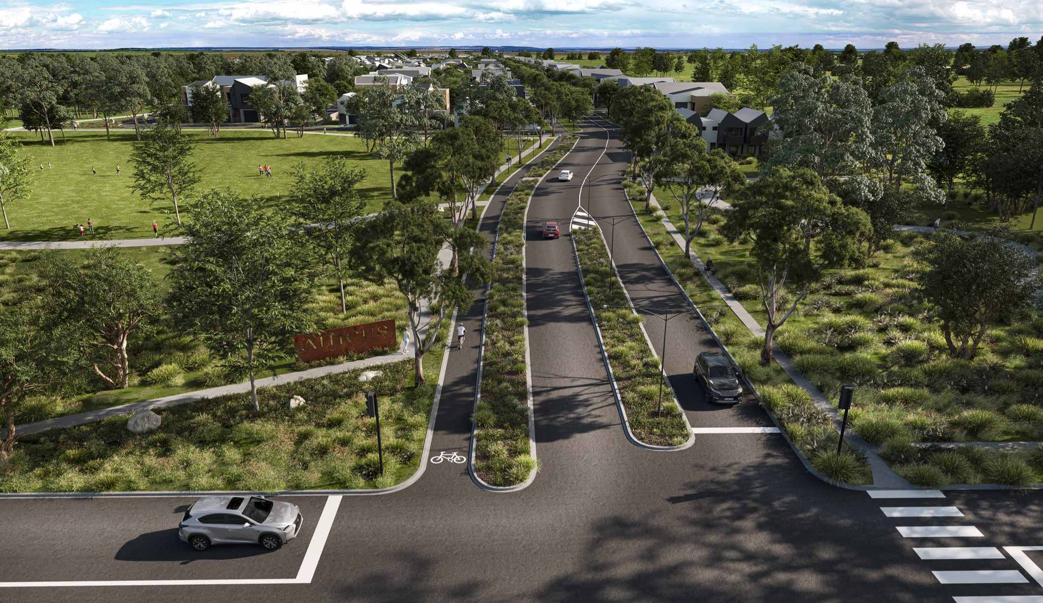
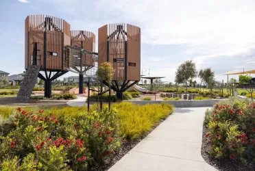
- Low maintenance, high quality living on tree lined streets.
- Close to Donnybrook station, future schools, local town centre and community facilities
- 30 minute to Melbourne airport, 35 minute to Melbourne’s CBD
Property types for sale
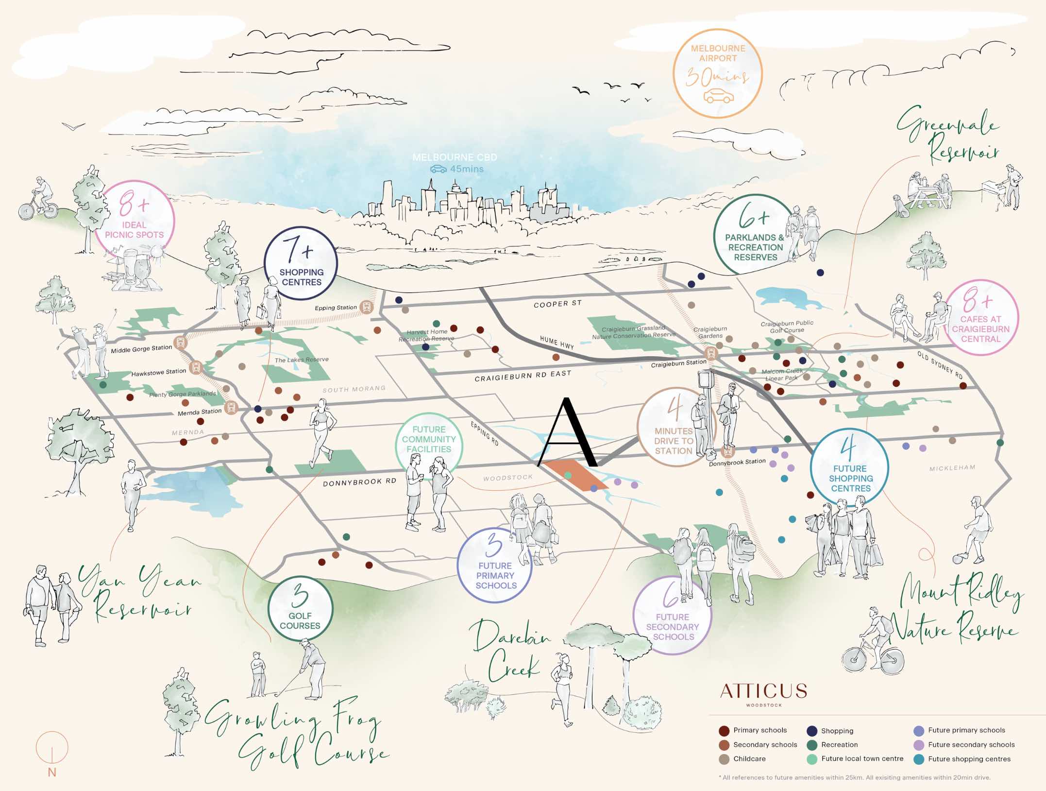
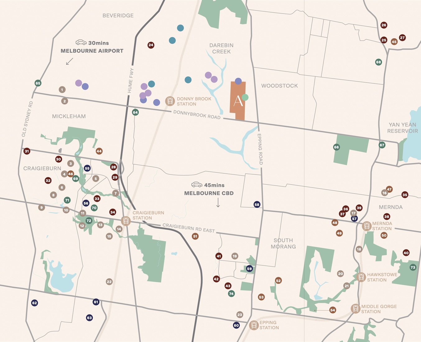
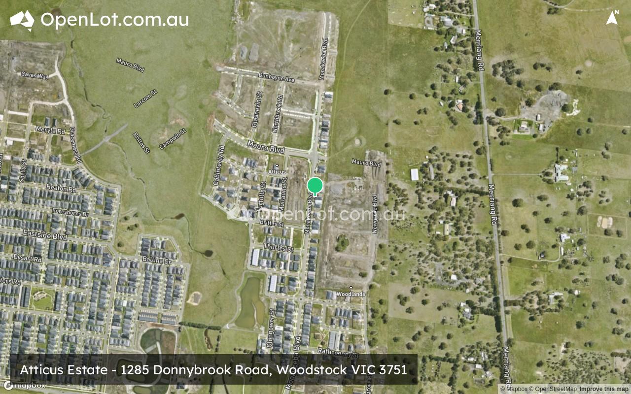
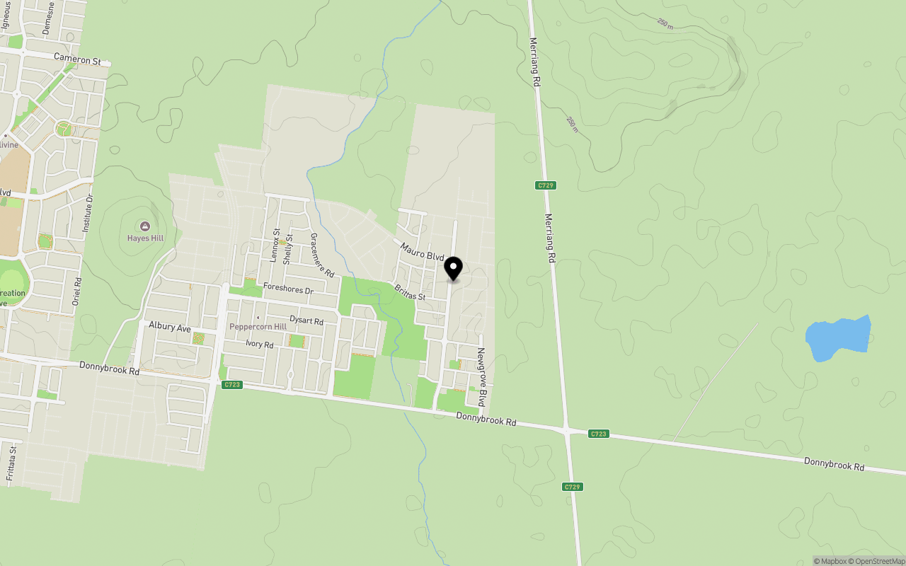
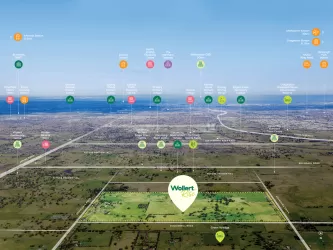
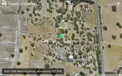
Location & Map for Atticus Estate - Woodstock
Schools near Atticus Estate - Woodstock
4 House and Land Packages in Atticus Estate - Woodstock
2 Townhouses in Atticus Estate - Woodstock
Overview
This information is estimated by the OpenLot research team. Let us know here to provide up-to-date information about this development.
| Total new homes | |
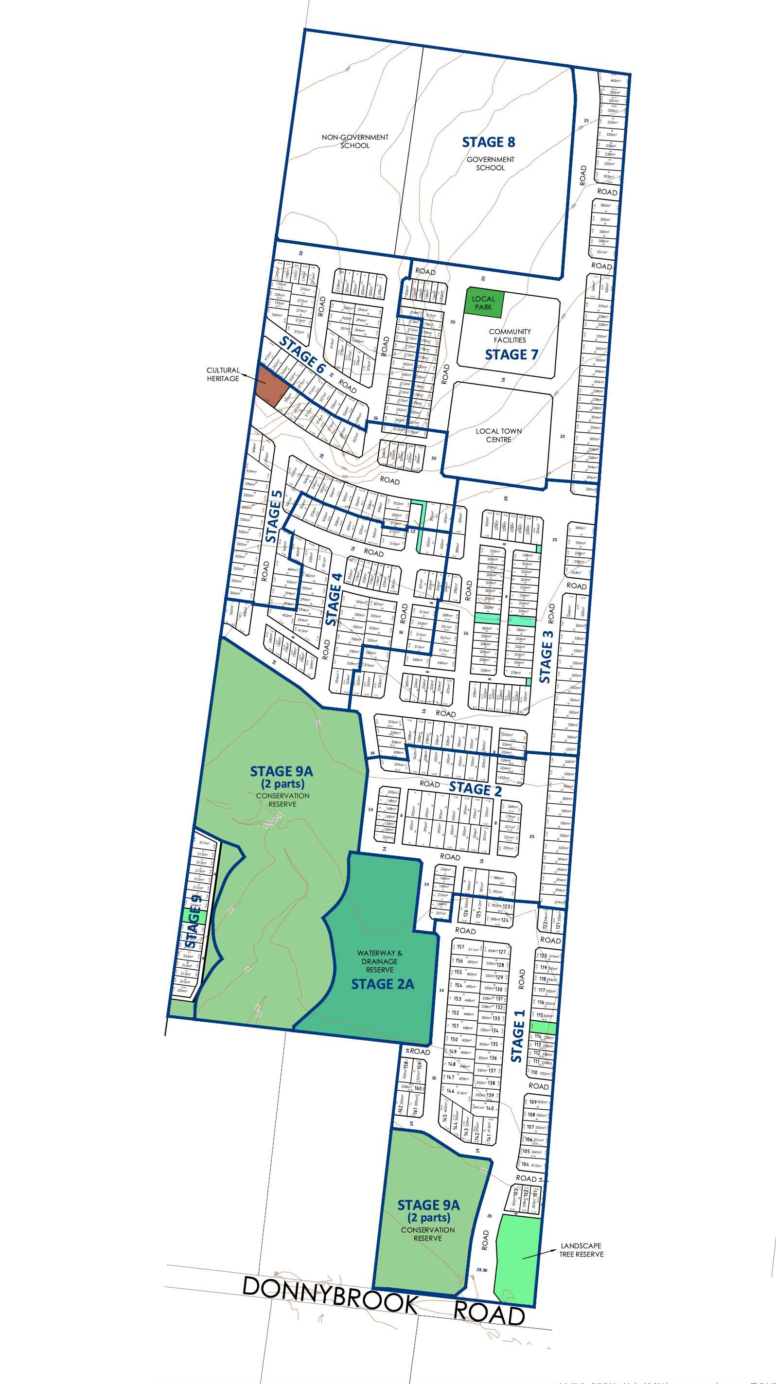
| Area Size | 40.16 hectares |
| Growth Region | Melbourne North Growth Corridor |
| City Council | Whittlesea City Council |
| Developer | Livv Developments, Universal Corporation |
| Project Marketer | Core Projects |
| Distance to |
Suburb Planning Review in Woodstock VIC 3751
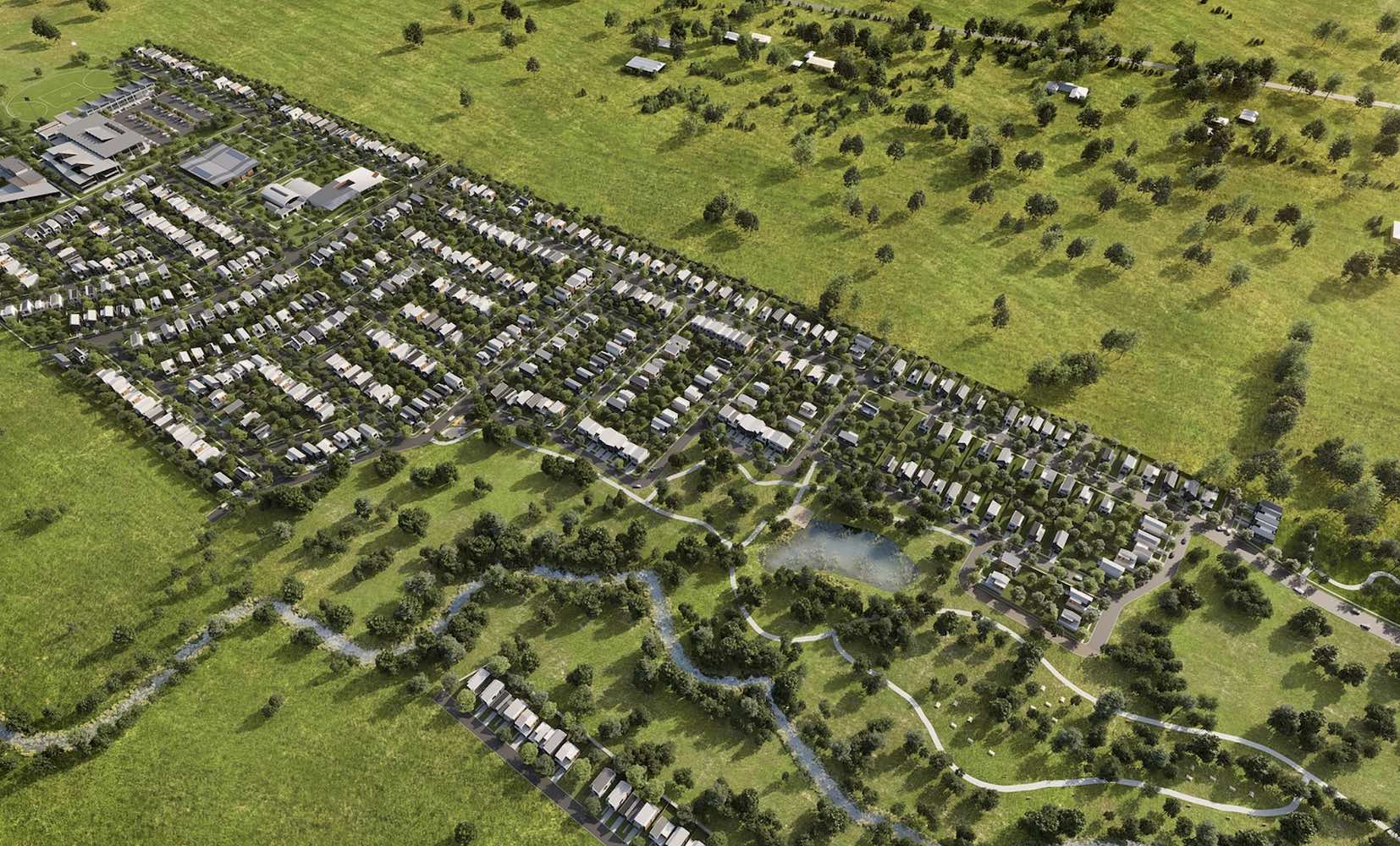
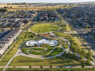
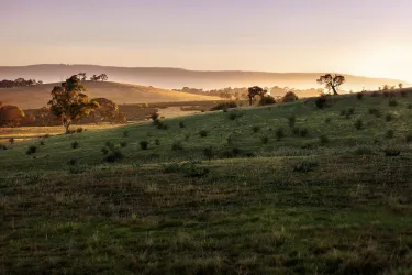
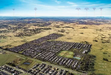
Woodstock is located in the city of Whittlesea, a semi-rural location to the north of Melbourne’s outer suburbs of the Urban Growth Boundary and logical expansion of the former Woodstock township. Woodstock growth area is 760ha and forms part of the new 1,786ha suburb area (Woodstock and Donnybrook) that is located on either side of Cameron Street. The new suburb is bounded by a possible future high-speed rail investigation area and Outer Metropolitan Ring Reservation (OMR / E6) for future road and rail transport links.

The Donnybrook-Woodstock Precinct Structure Plan (PSP) was prepared to guide the redevelopment of the released land for a mix of residential neighbourhoods linked by a variety of local town centres, schools and other community facilities. Protection of natural assets along the Merri Creek and Darebin Creek linear conservation corridors are provided to protect the Growling Grass Frog habitat from the planned suburb.

The Donnybrook-Woodstock PSP was prepared by Victorian Planning Authority (VPA) in consultation with the Whittlesea City Council and was approved by the Minister for Planning in November 2017. The decision was officially gazetted on 3 November 2017 under Amendment GC28 of the Whittlesea Planning Scheme.
The Vision of Woodstock
“Development will have a strong emphasis on the retention of natural features and high quality landscaping in an urban environment supported by strong connections to transport and community facilities. Development of the precinct will create a diverse mix of residential neighbourhoods linked by a variety of local town centres, schools and other community facilities.
The distribution of local centres which serve a variety of roles and functions will promote self-sufficiency for residents of the precinct in meeting daily retail and convenience shopping needs. Residential and business development will capitalise on the precinct’s proximity to the existing Donnybrook train station, as well as the future Lockerbie Principal Town Centre and potential future Lockerbie Train Station. The development of the existing Donnybrook Cheese Farm into an agricultural, historical and cultural learning hub will provide new residents with connections to the history of the area”.

Benefits of Woodstock
The existing zoning will be amended to provide for Rural Conservation and Urban Growth Zones, providing a series of greenfield sites in proximity to natural corridors. The amendments provide a new residential community, protection of natural features, parks, and sports and recreation areas. The Structure Plan also supports new schools, local community hubs, local centres to provide employment and services to the new suburb.
Transportation in Woodstock
Woodstock is well connected to public passenger transport, with the Donnybrook train station located to the east outside the new suburb boundary and a future north train station to be built in Lockerbie. The passenger train service connects Melbourne to Sydney and is being considered for a high speed rail project.
The suburb will include a network of shared paths linking the local parks and a new road network. Donnybrook Road and a new future state arterial road will provide access to the Hume Freeway, providing a direct connection to Melbourne CBD or northern Victoria.
Woodstock Suburb Summary
References
Updates for Atticus Estate - Woodstock


Land Price Trend in Woodstock VIC 3751
Below shows the price trend from vacant land sales recorded in Woodstock VIC 3751. *
Popular Estates near Atticus Estate - Woodstock


Not exactly what you're looking for? Try surrounding suburbs
Mernda VIC 3754
19 estates | Whittlesea City Council
7.7km south-east
Kalkallo VIC 3064
7 estates | Hume City Council
8.3km west
Donnybrook VIC 3064
20 estates | Whittlesea City Council
6.6km west
Wollert VIC 3750
47 estates | Whittlesea City Council
5.4km south
Beveridge VIC 3753
23 estates | Mitchell Shire Council
9.5km north-west
Whittlesea VIC 3757
3 estates | Whittlesea City Council
7.6km north-east
Latest published articles


FAQs about Atticus Estate - Woodstock
Livv Developments and Universal Corporation is the developer behind Atticus Estate - Woodstock.
Atticus Estate - Woodstock consists of 750 homes.
The total area for Atticus Estate - Woodstock is 40.16 hectares.
Atticus Estate - Woodstock falls under Whittlesea City Council.
Atticus Estate - Woodstock is 31 km north of Melbourne CBD.
Core Projects is the project marketer for Atticus Estate - Woodstock.
Nearby schools for Atticus Estate - Woodstock:
- Donnybrook Primary School - 2.4km west
- Gilgai Plains Primary School - 5.8km west
- Barrawang Primary School - 6.8km south-west
- Edgars Creek Primary School - 7.7km south
- Wollert Secondary College - 7.8km south
- Wollert Primary School - 7.8km south