
Property types for sale
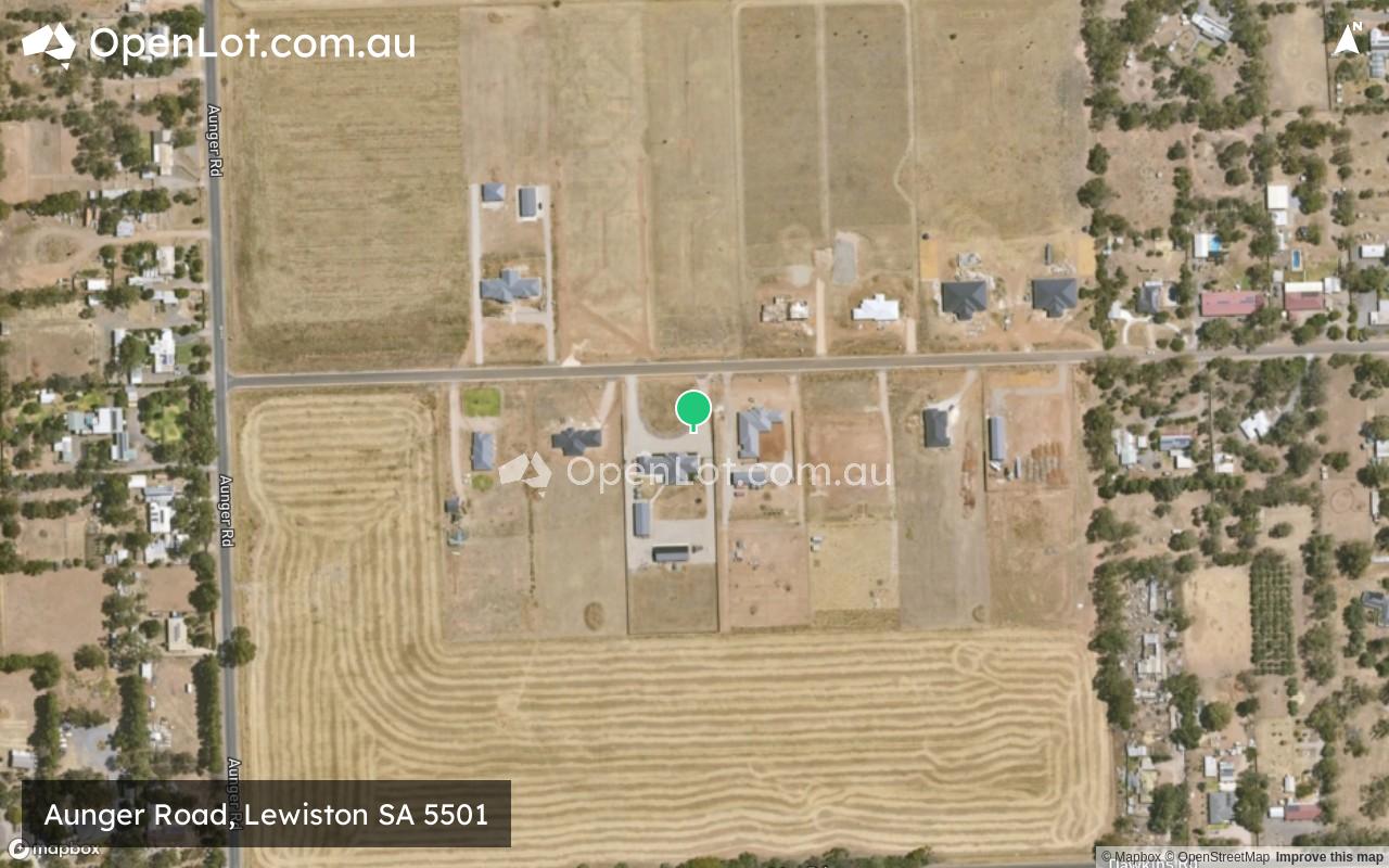
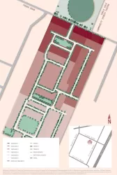
Location & Map for Aunger Road, Lewiston SA 5501
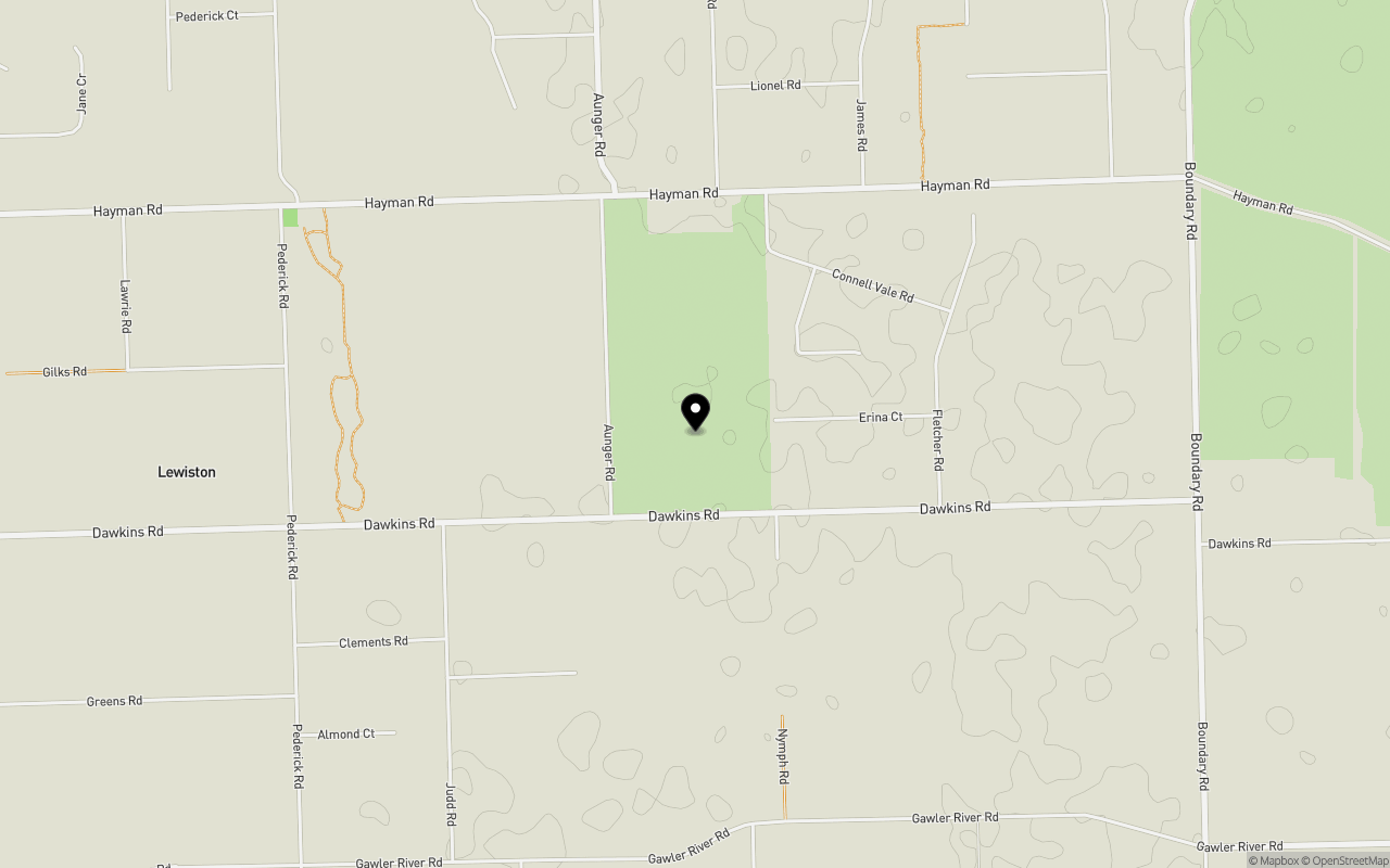
Schools near Aunger Road, Lewiston SA 5501
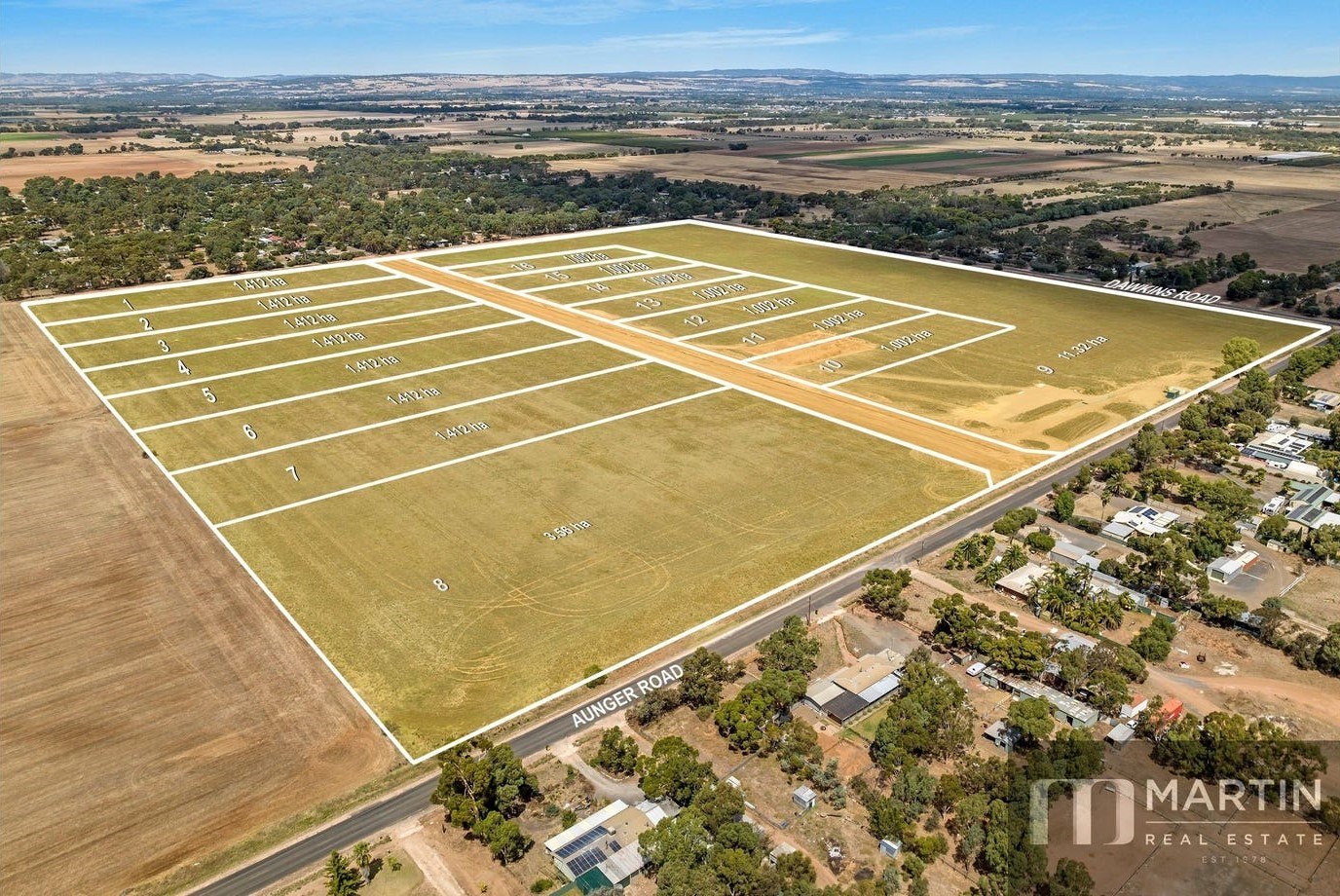
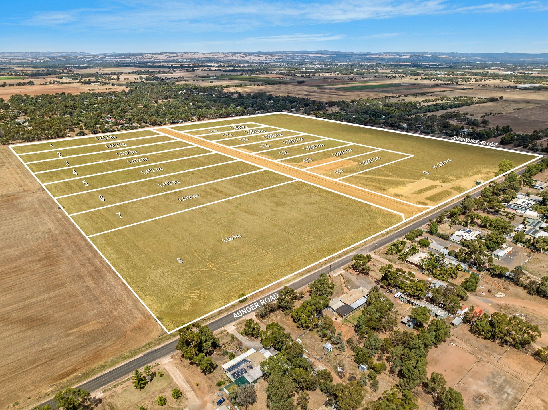
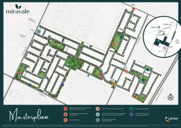
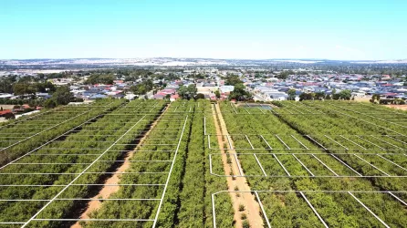
Overview
This information is estimated by the OpenLot research team. Let us know here to provide up-to-date information about this development.
| Total new homes | |
| Area Size | 32.86 hectares |
| Growth Region | Adelaide North Growth Areas |
| City Council | Adelaide Plains Council |
| Developer | N/A |
| Project Marketer | Martin Real Estate |
| Distance to |
Updates for Aunger Road, Lewiston
Popular Estates near Aunger Road, Lewiston


Not exactly what you're looking for? Try surrounding suburbs
Riverlea Park SA 5120
1 estate | City of Playford
7.4km south-west
Munno Para West SA 5115
14 estates | City of Playford
10.1km south-east
Angle Vale SA 5117
18 estates | City of Playford
7.2km south-east
Virginia SA 5120
6 estates | City of Playford
6.7km south
Two Wells SA 5501
5 estates | Adelaide Plains Council
4.9km west
Andrews Farm SA 5114
6 estates | City of Playford
10.6km south-east
Latest published articles


FAQs about Aunger Road, Lewiston SA 5501
Aunger Road, Lewiston SA 5501 consists of 16 homes.
The total area for Aunger Road, Lewiston SA 5501 is 32.86 hectares.
Aunger Road, Lewiston SA 5501 falls under Adelaide Plains Council.
Aunger Road, Lewiston SA 5501 is 35 km north of Adelaide CBD.
Martin Real Estate is the project marketer for Aunger Road, Lewiston SA 5501.
Nearby schools for Aunger Road, Lewiston SA 5501:
- Trinity College Gawler River - 4.8km south-east
- Angle Vale Primary School - 5.1km south-east
- Riverbanks College B-12 - 5.7km south-east
- Virginia Primary School - 7.9km south-west
- Two Wells Primary School - 8.7km west
- St Columba College - 8.7km south-east