
Property types for sale
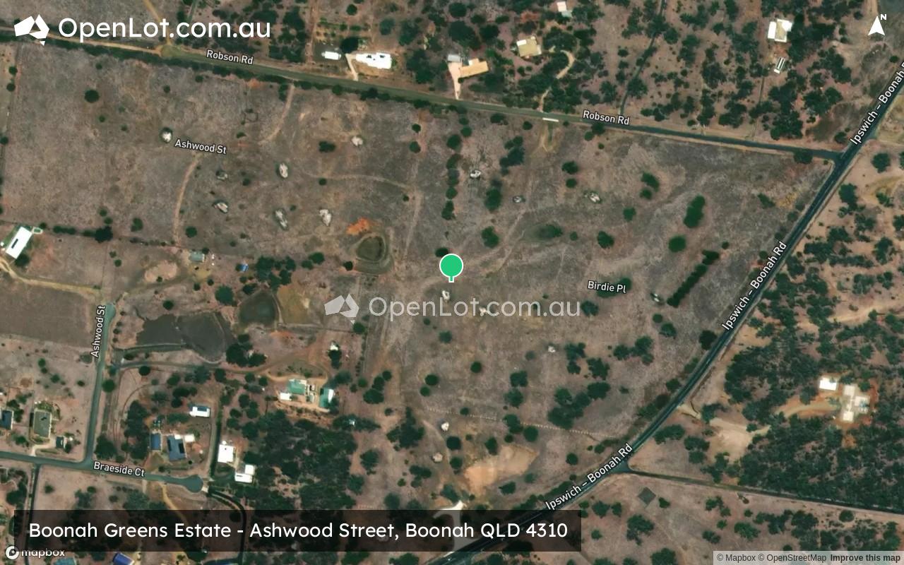
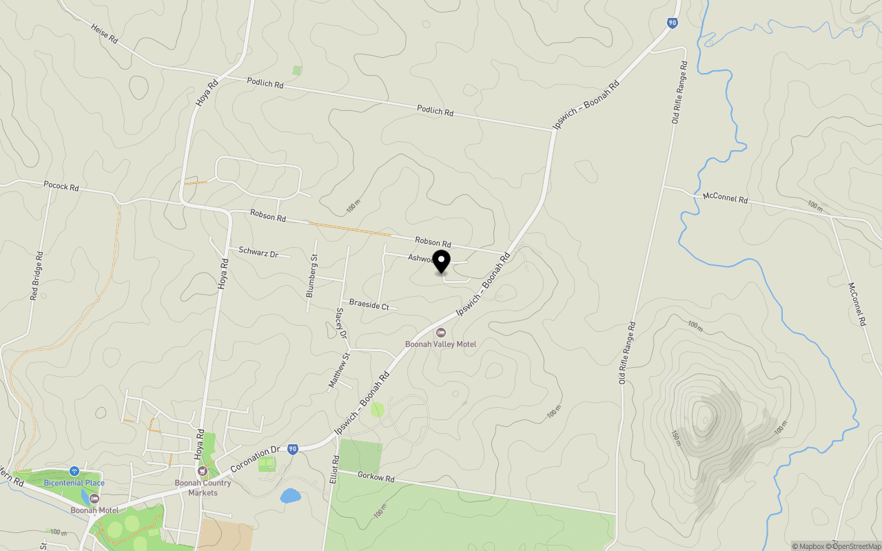
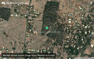
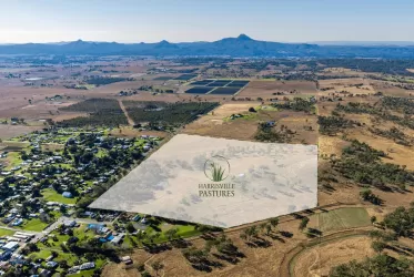
Location & Map for Boonah Greens Estate - Boonah
Schools near Boonah Greens Estate - Boonah
Boonah Greens Boonah Video
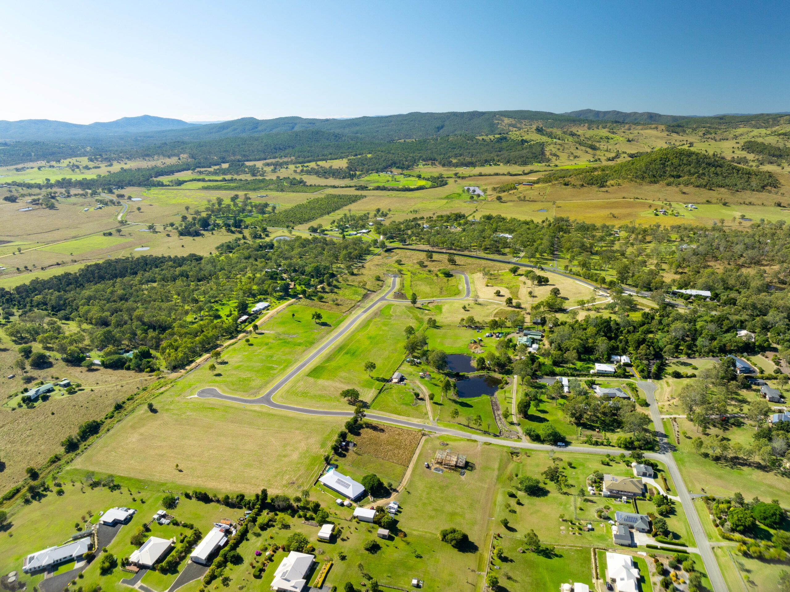
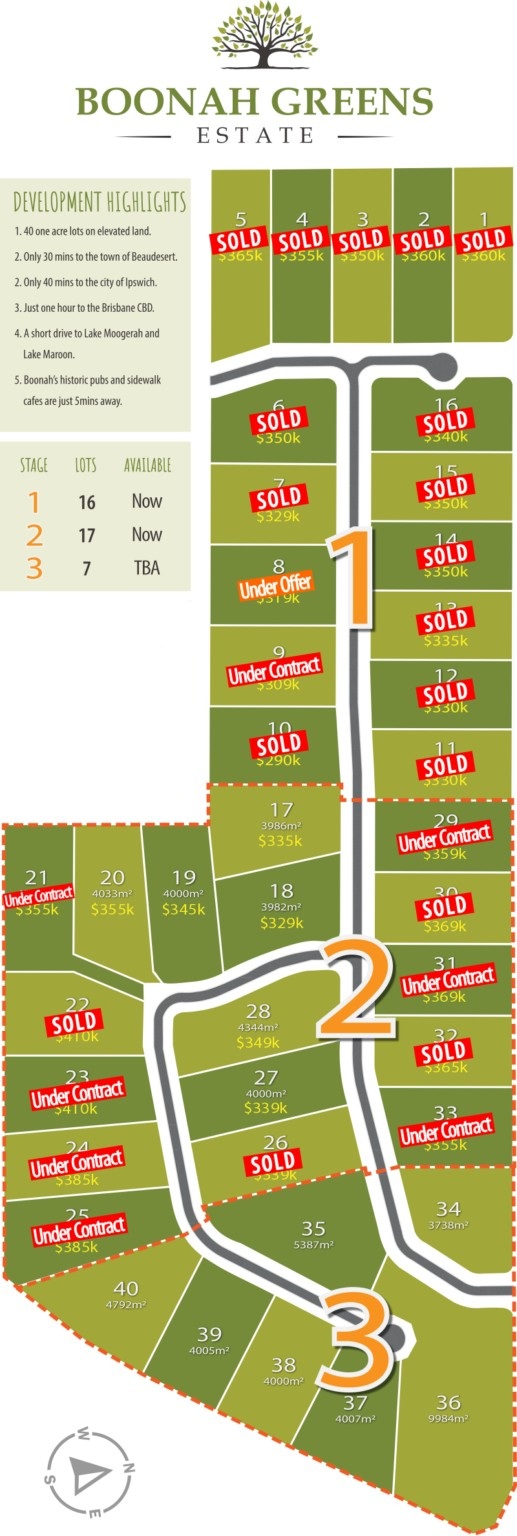
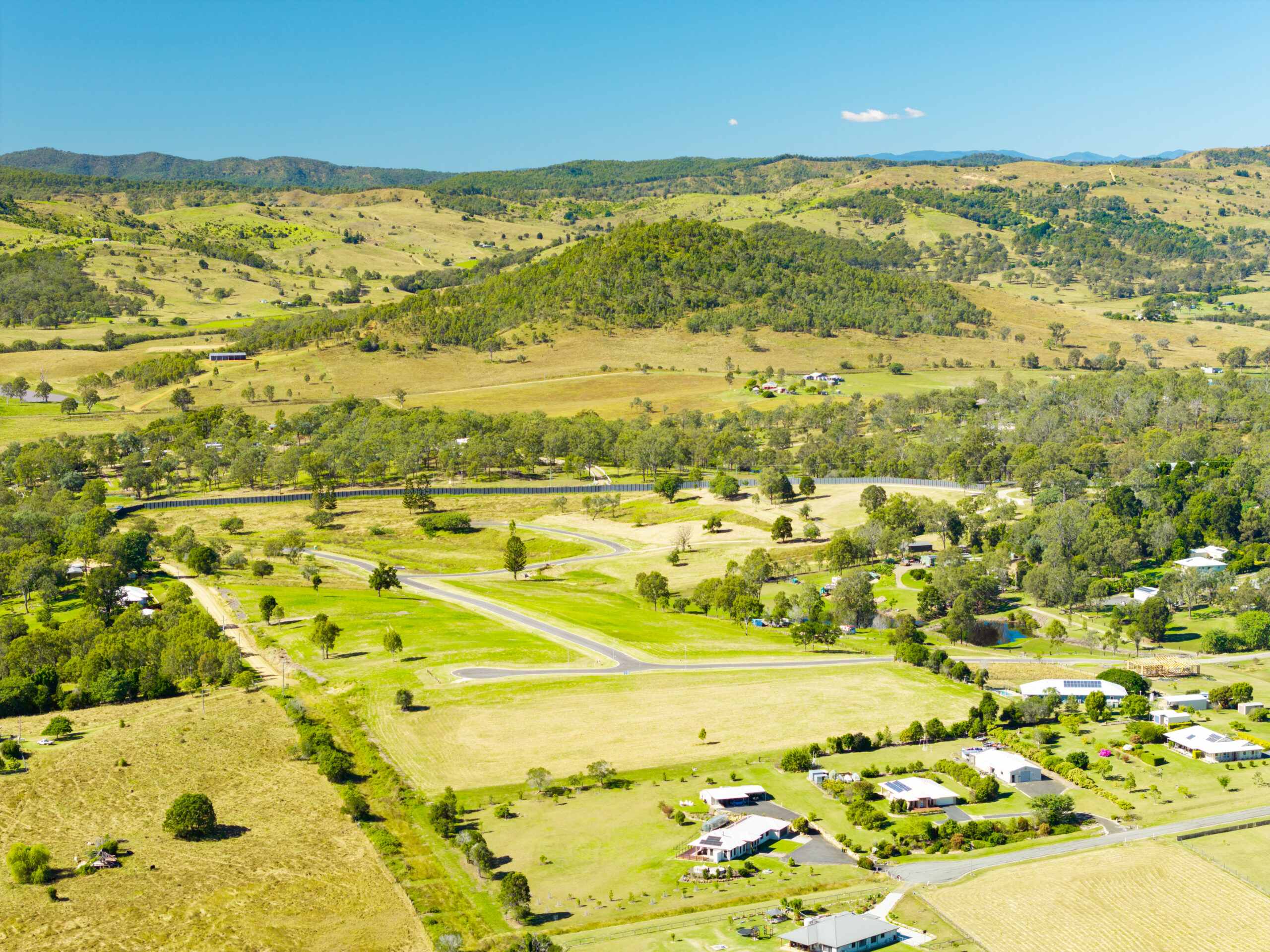
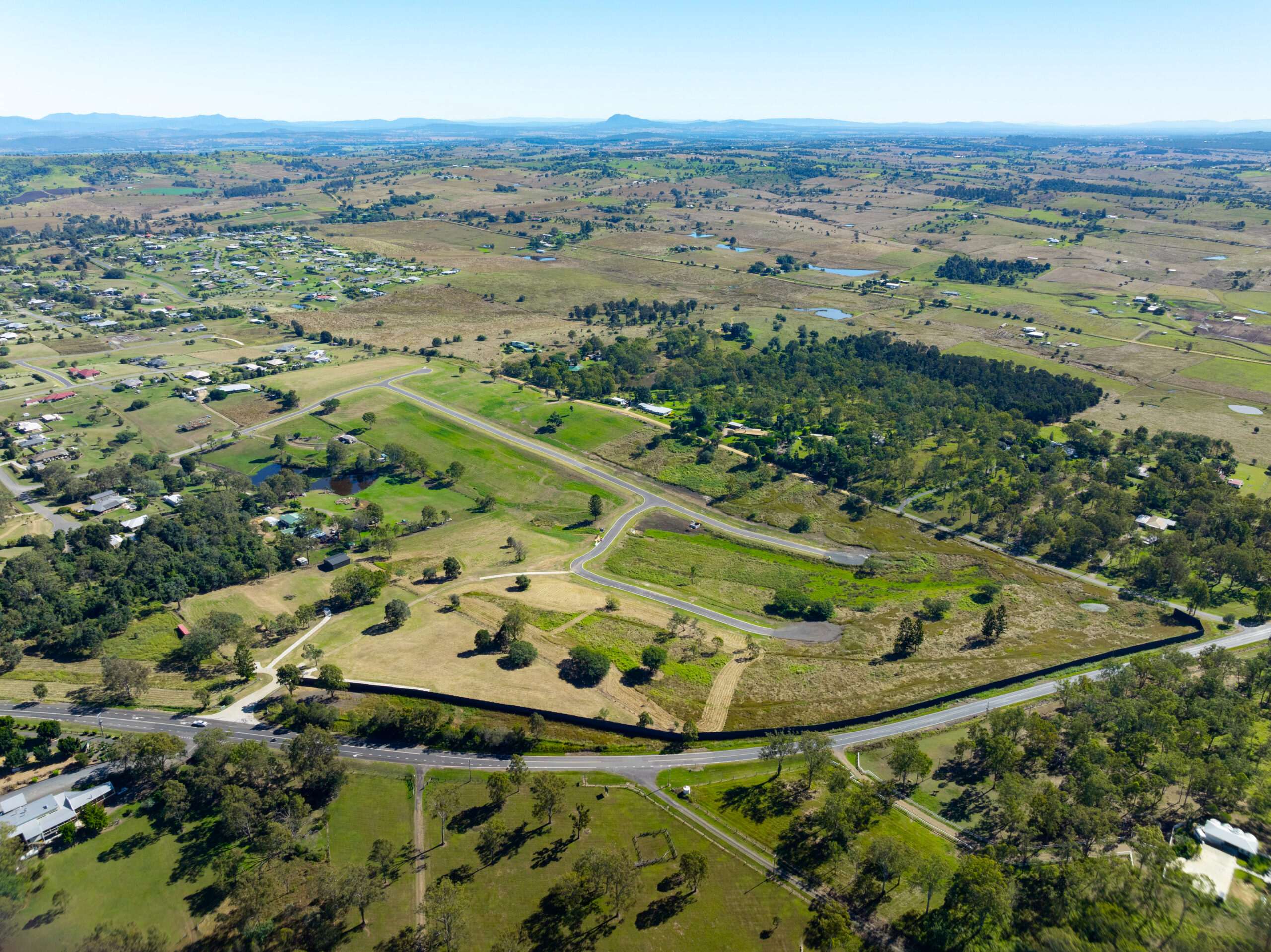
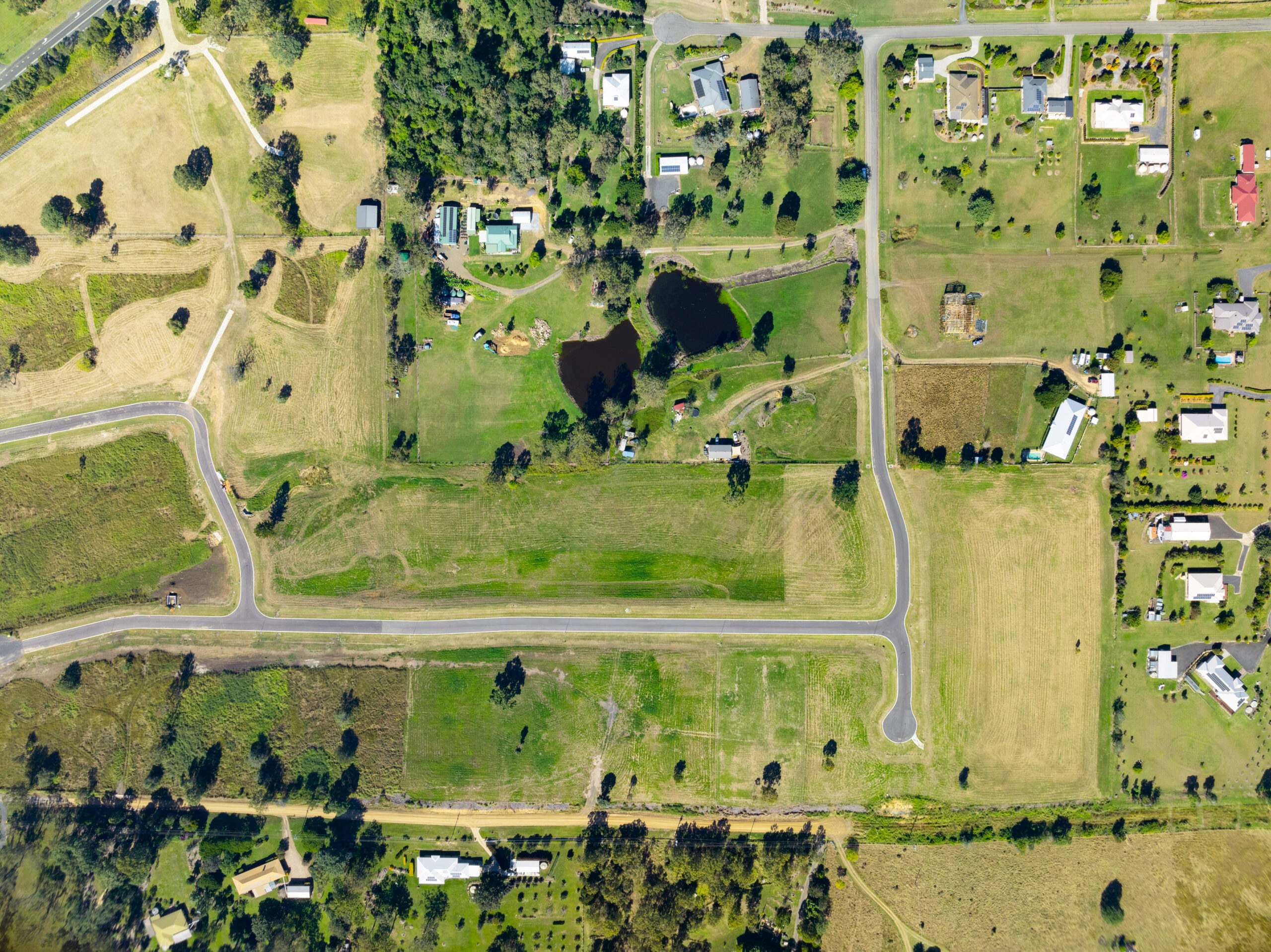
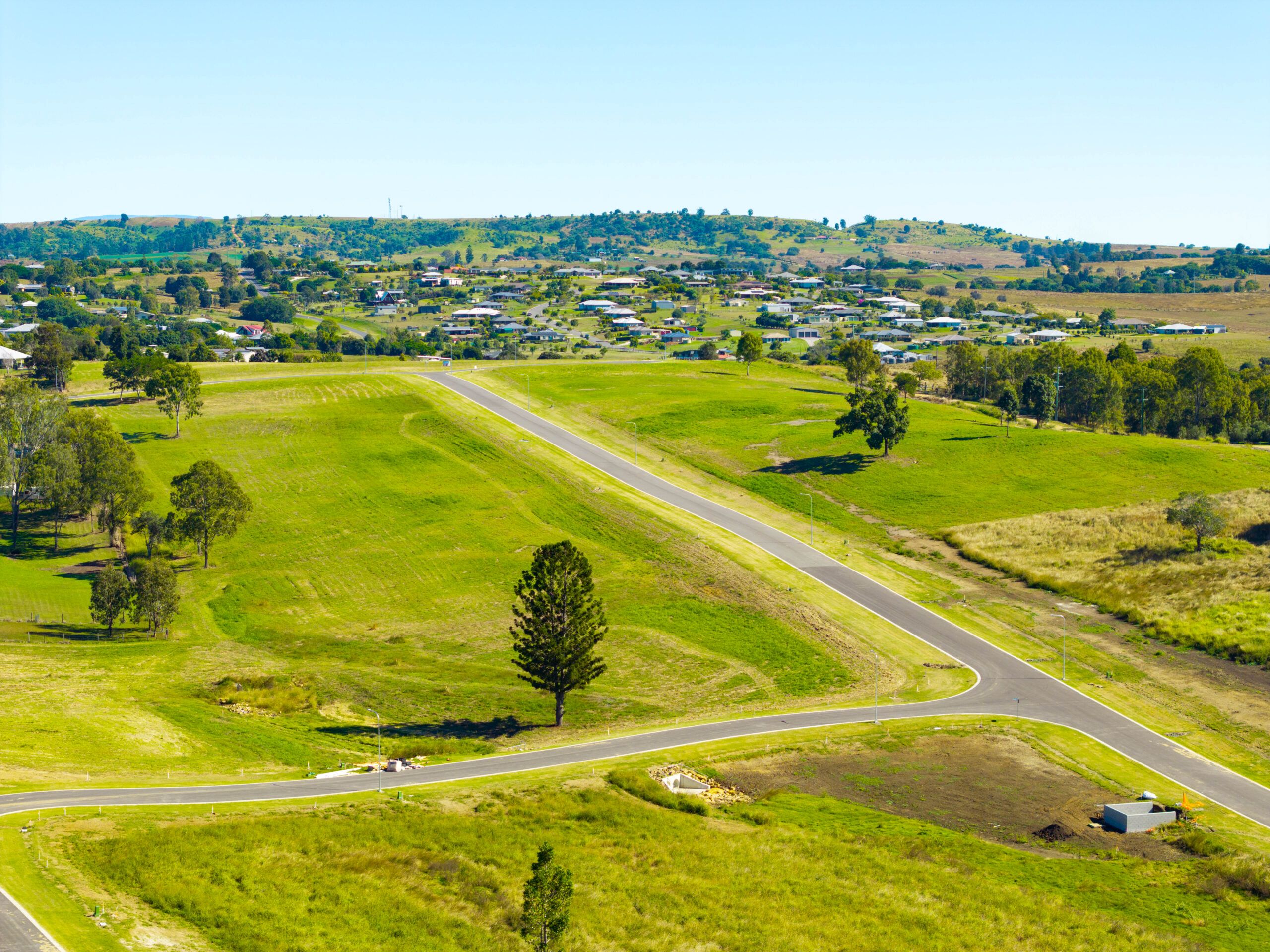
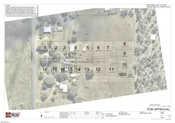
Overview
This information is estimated by the OpenLot research team. Let us know here to provide up-to-date information about this development.
| Total new homes | |
| Area Size | N/A |
| Growth Region | Gold Coast Growth Areas & Scenic Rim |
| City Council | Scenic Rim Regional Council |
| Developer | N/A |
| Distance to |
Land Price Trend in Boonah QLD 4310
Below shows the price trend from vacant land sales recorded in Boonah QLD 4310.
The data and information provided by Terralytics (Aust) Pty Ltd (Terralytics Data) is general in nature and is not intended to constitute professional advice. Read more
It should not be relied upon as a substitute for legal, financial, valuation, or other specialist advice relevant to your specific circumstances.
Terralytics uses commercially reasonable endeavours to ensure the Terralytics Data is current and accurate. However, as the Terralytics Data incorporates information sourced from third parties, Terralytics makes no representation or warranty — express or implied — as to its accuracy, completeness, or currency. To the maximum extent permitted by applicable law, Terralytics excludes all liability for any loss or damage (including consequential loss) arising out of or in connection with reliance on the Terralytics Data, whether arising in contract, tort (including negligence), statute, or otherwise.
Popular Estates near Boonah Greens Estate - Boonah

Not exactly what you're looking for? Try surrounding suburbs
Harrisville QLD 4307
2 estates | Scenic Rim Regional Council
20.3km north
Gleneagle QLD 4285
4 estates | Scenic Rim Regional Council
26.5km east
Dugandan QLD 4310
2 estates | Scenic Rim Regional Council
3.8km south-west
Kalbar QLD 4309
4 estates | Scenic Rim Regional Council
10.4km north-west
Aratula QLD 4309
1 estate | Scenic Rim Regional Council
14.2km west
Hoya QLD 4310
1 estate | Scenic Rim Regional Council
2.2km north
Latest published articles


FAQs about Boonah Greens Estate - Boonah
Boonah Greens Estate - Boonah consists of 45 homes.
Boonah Greens Estate - Boonah falls under Scenic Rim Regional Council.
Boonah Greens Estate - Boonah is 65 km south-west of Brisbane CBD.
Nearby schools for Boonah Greens Estate - Boonah:
- Boonah State High School - 2.2km south-west
- All Saints' School - 2.8km south-west
- Boonah State School - 3.0km south-west
- Roadvale State School - 6.7km north
- Kalbar State School - 9.0km north-west
- Mount Alford State School - 14.5km south-west