
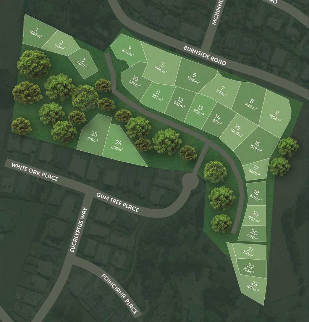
Property types for sale
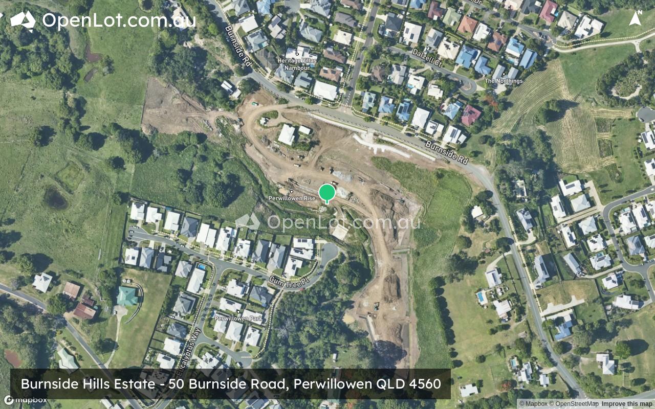
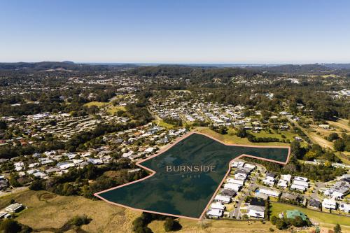
Location & Map for Burnside Hills Estate - Perwillowen
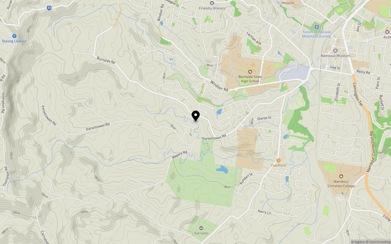
Schools near Burnside Hills Estate - Perwillowen
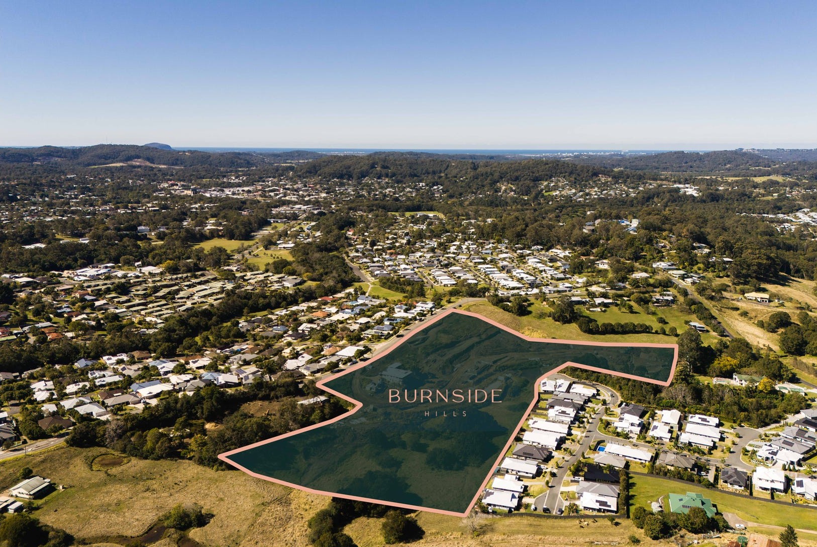
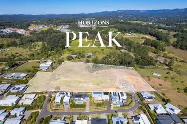
Overview
This information is estimated by the OpenLot research team. Let us know here to provide up-to-date information about this development.
| Total new homes | |
| Area Size | 5.15 hectares |
| Growth Region | Sunshine Coast Growth Areas |
| City Council | Sunshine Coast Council |
| Developer | N/A |
| Project Marketer | Town |
| Distance to |
Updates for Burnside Hills Estate - Perwillowen
Popular Estates near Burnside Hills Estate - Perwillowen


Not exactly what you're looking for? Try surrounding suburbs
Yandina QLD 4561
7 estates | Sunshine Coast Council
8.2km north
Nambour QLD 4560
6 estates | Sunshine Coast Council
1.3km east
Burnside QLD 4560
3 estates | Sunshine Coast Council
544m north
Palmwoods QLD 4555
6 estates | Sunshine Coast Council
6.4km south
Woombye QLD 4559
3 estates | Sunshine Coast Council
5.3km south-east
Rosemount QLD 4560
1 estate | Sunshine Coast Council
7.1km east
Latest published articles


FAQs about Burnside Hills Estate - Perwillowen
Burnside Hills Estate - Perwillowen consists of 25 homes.
The total area for Burnside Hills Estate - Perwillowen is 5.15 hectares.
Burnside Hills Estate - Perwillowen falls under Sunshine Coast Council.
Burnside Hills Estate - Perwillowen is 93 km north of Brisbane CBD.
Town is the project marketer for Burnside Hills Estate - Perwillowen.
Nearby schools for Burnside Hills Estate - Perwillowen:
- St John's College - 697m east
- Nambour Special School - 924m north-east
- Burnside State High School - 1.2km north-east
- Burnside State School - 1.2km north-east
- Nambour Christian College - 2.3km east
- St Joseph's Primary School - 2.3km east