
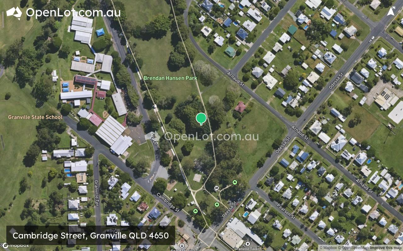
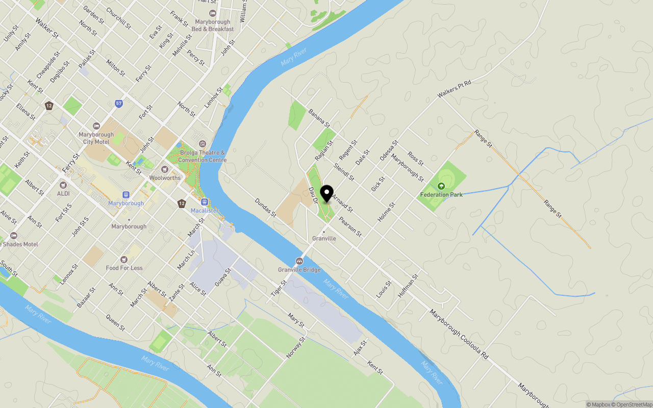
Location & Map for Cambridge Street, Granville QLD 4650
Schools near Cambridge Street, Granville QLD 4650
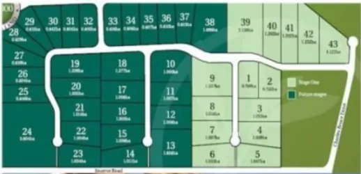
Overview
This information is estimated by the OpenLot research team. Let us know here to provide up-to-date information about this development.
| Total new homes | |
| Area Size | 4.16 hectares |
| Growth Region | Hervey Bay (Wide Bay–Burnett Region) |
| City Council | Fraser Coast Regional Council |
| Developer | N/A |
Popular Estates near Cambridge Street, Granville


Not exactly what you're looking for? Try surrounding suburbs
Oakhurst QLD 4650
2 estates | Fraser Coast Regional Council
11.9km west
Tinana QLD 4650
8 estates | Fraser Coast Regional Council
6.8km west
Yengarie QLD 4650
1 estate | Fraser Coast Regional Council
14.4km west
St Helens QLD 4650
1 estate | Fraser Coast Regional Council
6.4km north-west
Maryborough QLD 4650
1 estate | Fraser Coast Regional Council
2.1km west
Dundathu QLD 4650
1 estate | Fraser Coast Regional Council
8.1km north
Latest published articles


FAQs about Cambridge Street, Granville QLD 4650
Cambridge Street, Granville QLD 4650 consists of 16 homes.
The total area for Cambridge Street, Granville QLD 4650 is 4.16 hectares.
Cambridge Street, Granville QLD 4650 falls under Fraser Coast Regional Council.
Nearby schools for Cambridge Street, Granville QLD 4650:
- Granville State School - 200m west
- St Mary's Primary School - 1.5km north-west
- Albert State School - 1.6km south-west
- Maryborough Central State School - 1.7km west
- Maryborough State High School - 2.0km west
- St Mary's College - 2.1km west