
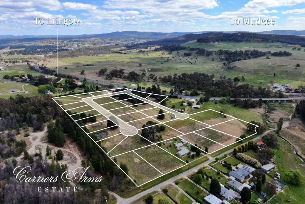
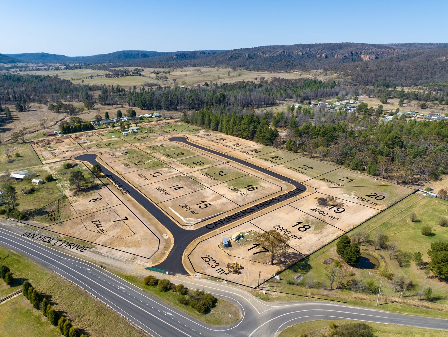
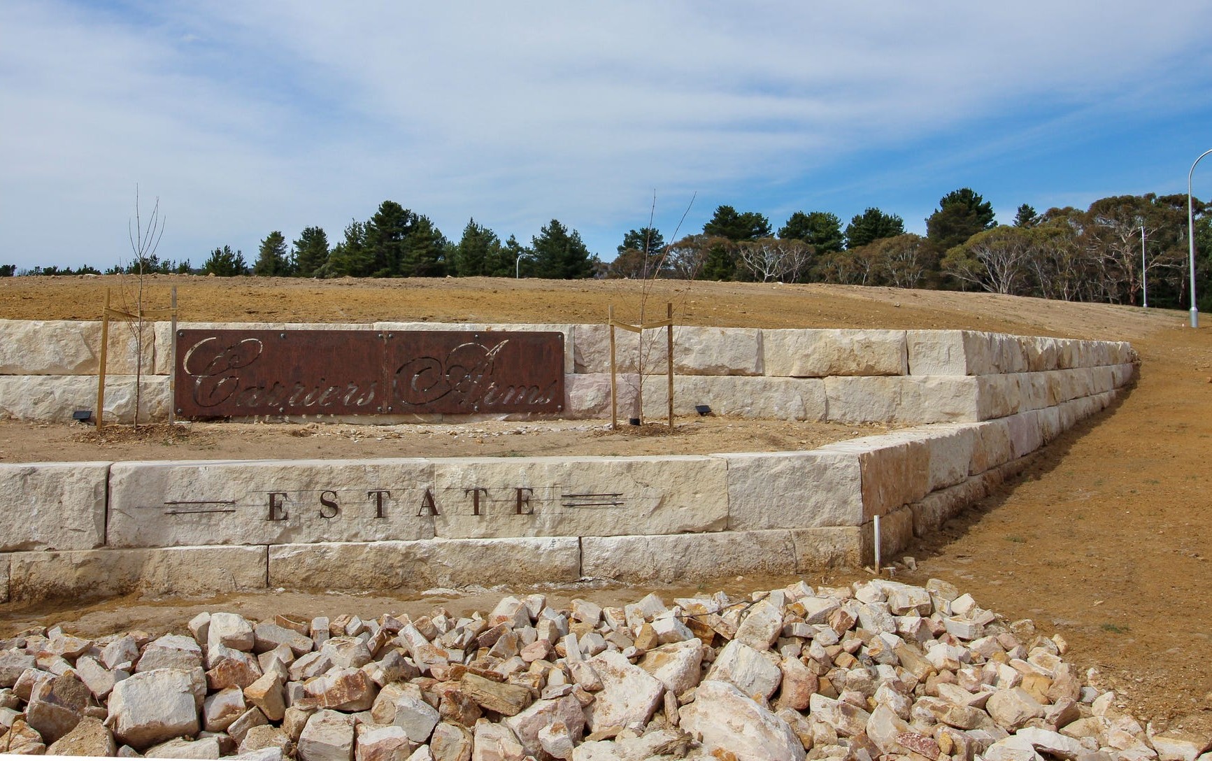
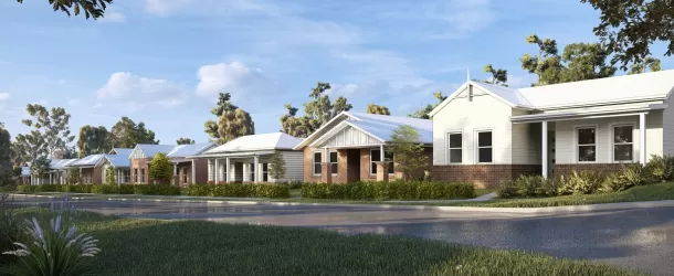
Carriers Arms Estate - Lidsdale
[LIMITED OFFER] Brand new premium large lot residential


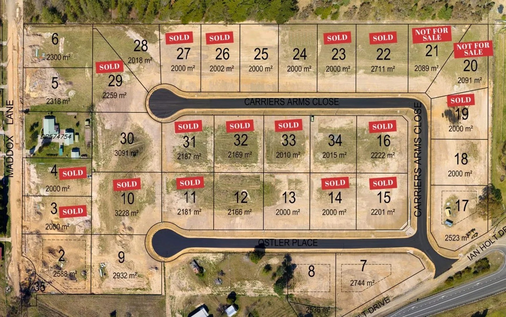
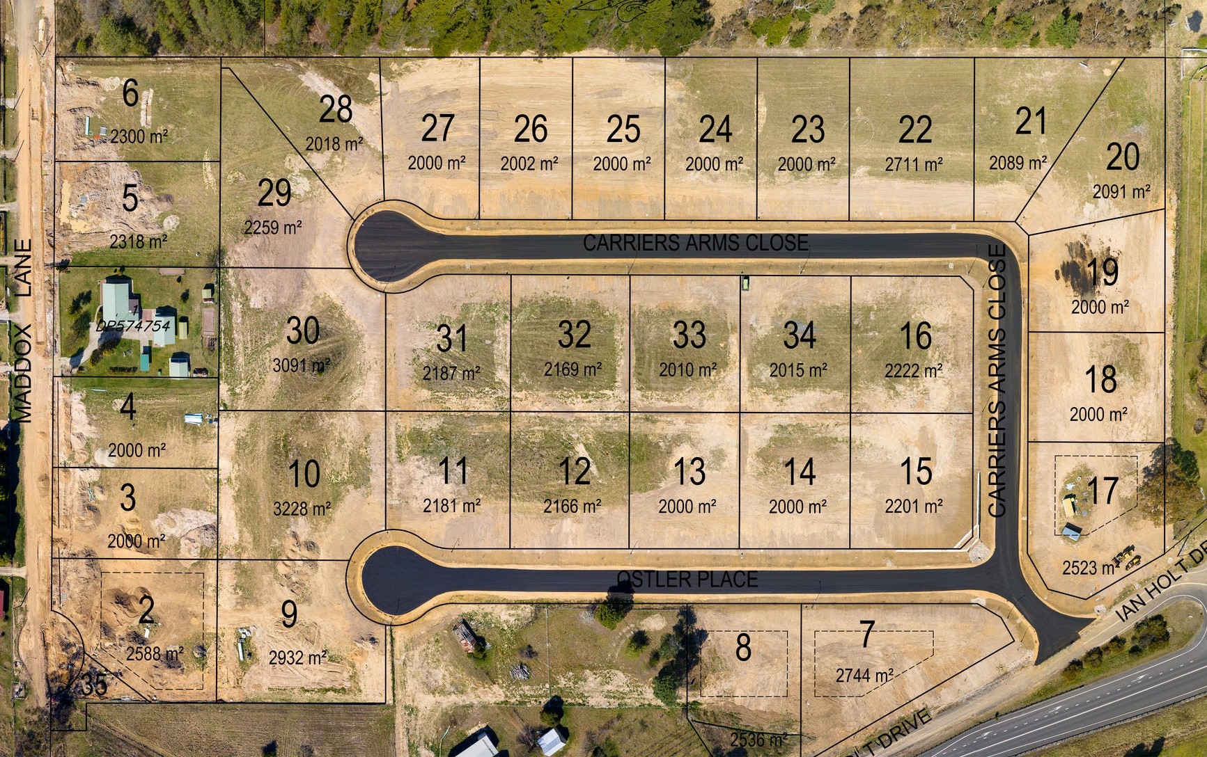
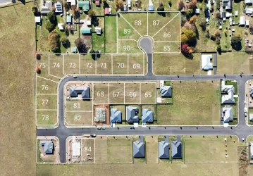
Property types for sale
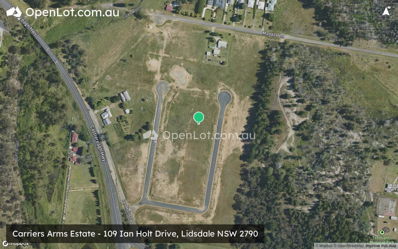
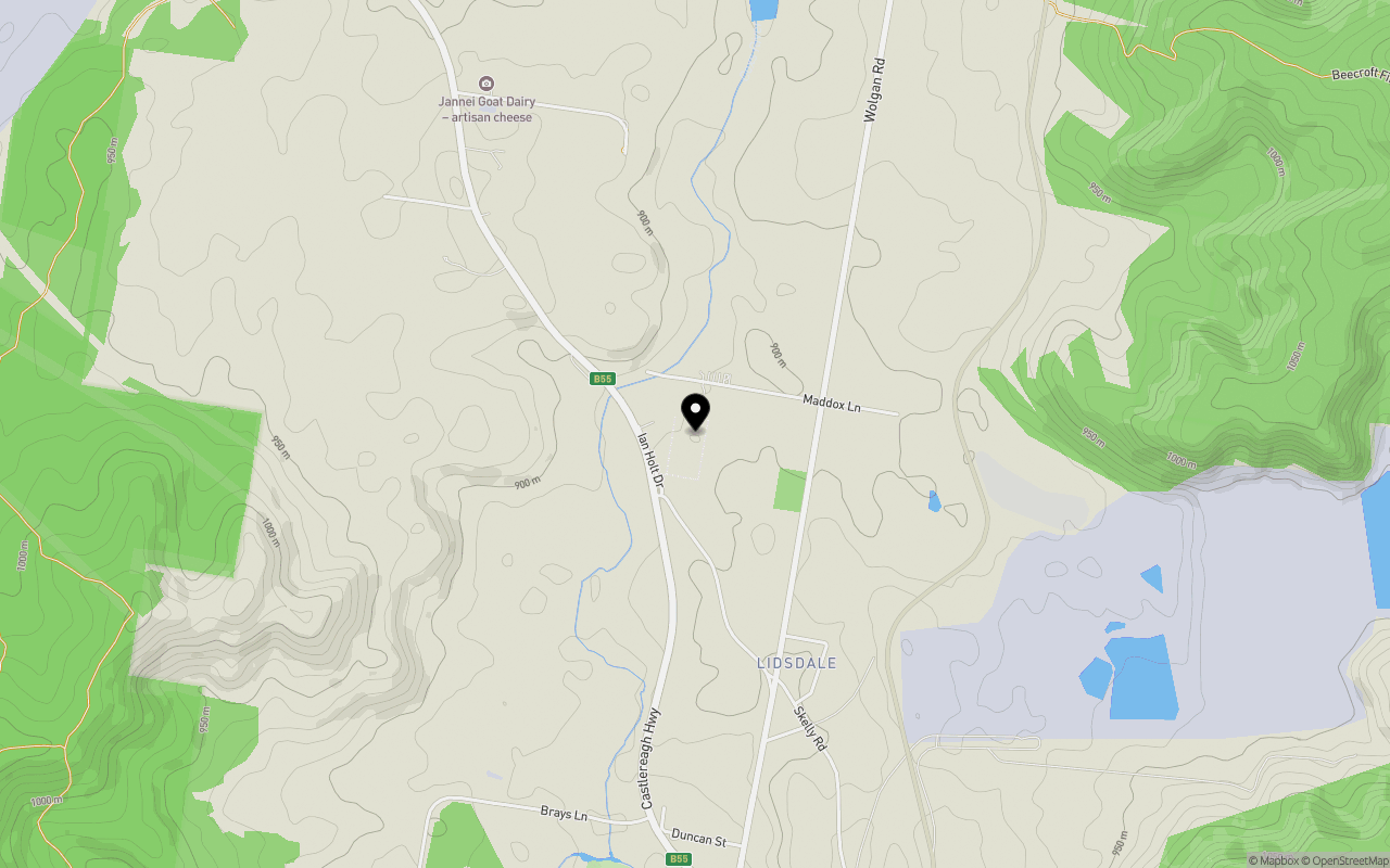
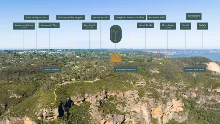
Location & Map for Carriers Arms Estate - Lidsdale
Schools near Carriers Arms Estate - Lidsdale
Carriers Arms Lidsdale Video
Overview
This information is estimated by the OpenLot research team. Let us know here to provide up-to-date information about this development.
| Total new homes | |
| Area Size | 8.80 hectares |
| City Council | Lithgow City Council |
| Developer | N/A |
| Project Marketer | Elders Emms Mooney |
Updates for Carriers Arms Estate - Lidsdale


Popular Estates near Carriers Arms Estate - Lidsdale


Not exactly what you're looking for? Try surrounding suburbs
Bowenfels NSW 2790
2 estates | Lithgow City Council
15.1km south
Oberon NSW 2787
2 estates | Oberon Council
45.7km south-west
Katoomba NSW 2780
2 estates | Blue Mountains City Council
44.4km south-east
Portland NSW 2847
1 estate | Lithgow City Council
12.7km west
South Bowenfels NSW 2790
1 estate | Lithgow City Council
19.8km south
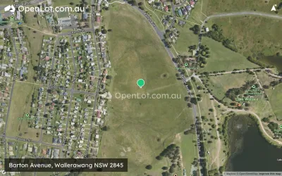
Wallerawang NSW 2845
1 estate | Lithgow City Council
10.7km south-west
Latest published articles


FAQs about Carriers Arms Estate - Lidsdale
Carriers Arms Estate - Lidsdale consists of 33 homes.
The total area for Carriers Arms Estate - Lidsdale is 8.80 hectares.
Carriers Arms Estate - Lidsdale falls under Lithgow City Council.
Elders Emms Mooney is the project marketer for Carriers Arms Estate - Lidsdale.
Nearby schools for Carriers Arms Estate - Lidsdale:
- Wallerawang Public School - 4.2km south
- St Joseph's Catholic Primary School Portland - 9.2km west
- Portland Central School - 9.9km west
- Cullen Bullen Public School - 10.2km north-west
- Cooerwull Public School - 12.7km south-east
- St Patrick's Catholic Primary School Lithgow - 13.2km south-east