
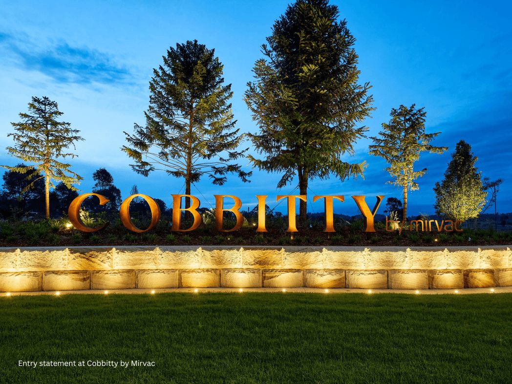
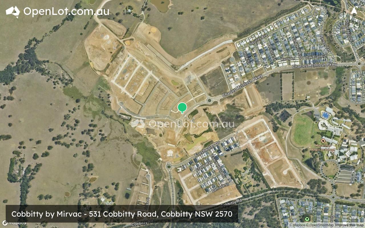
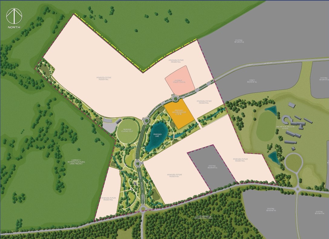
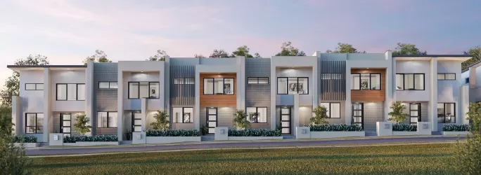
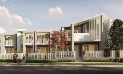
Cobbitty by Mirvac - Cobbitty
[NEW RELEASE] Live The Good Life


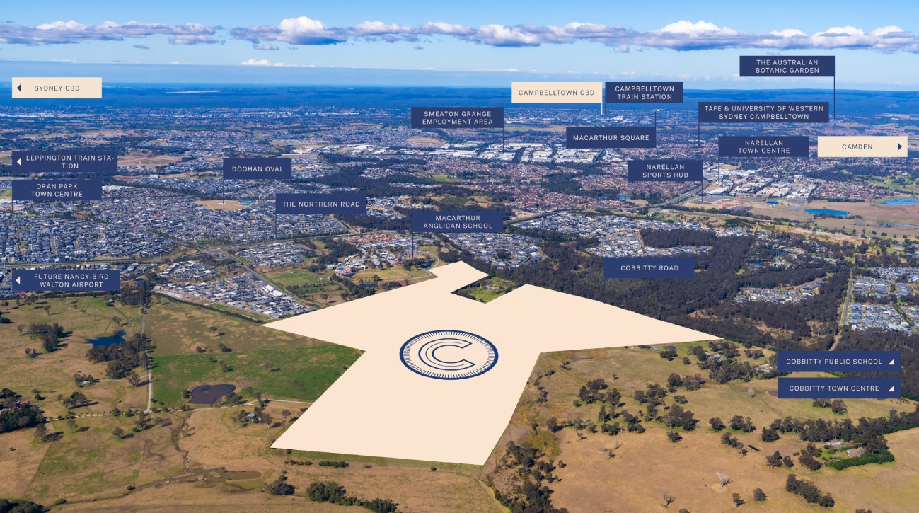
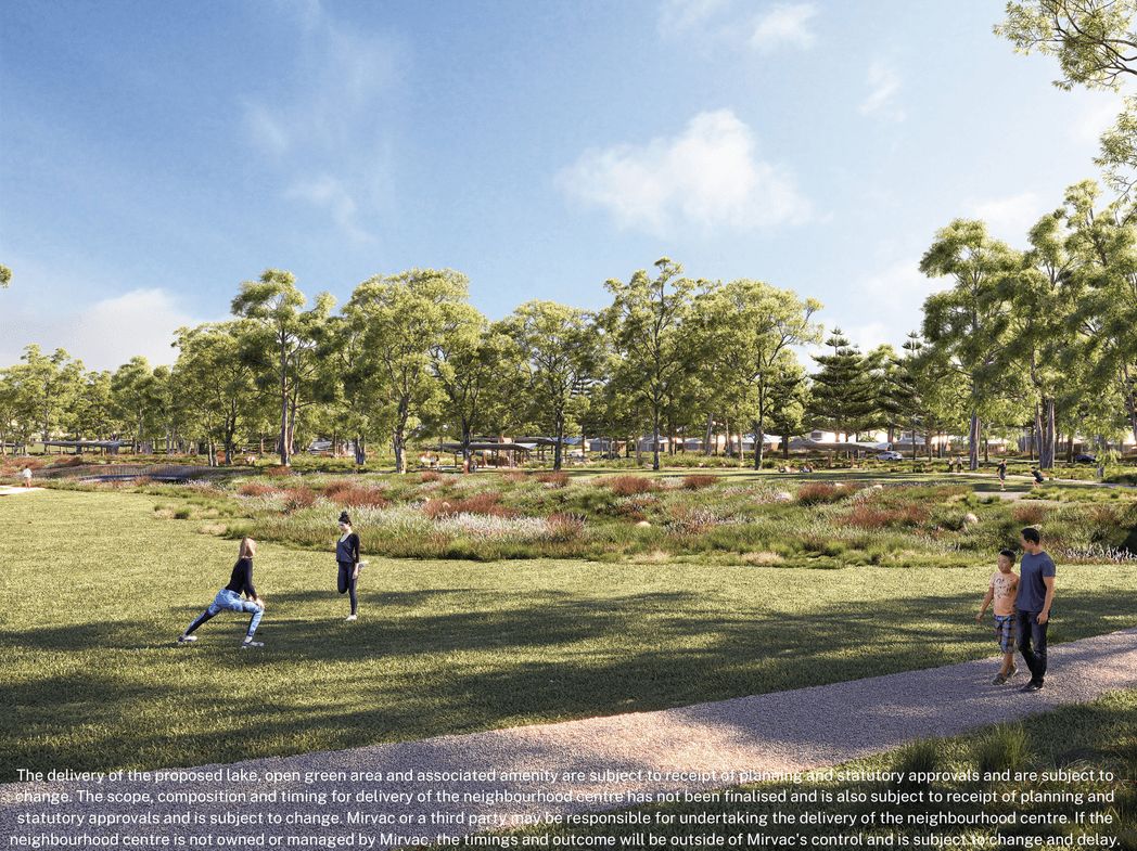
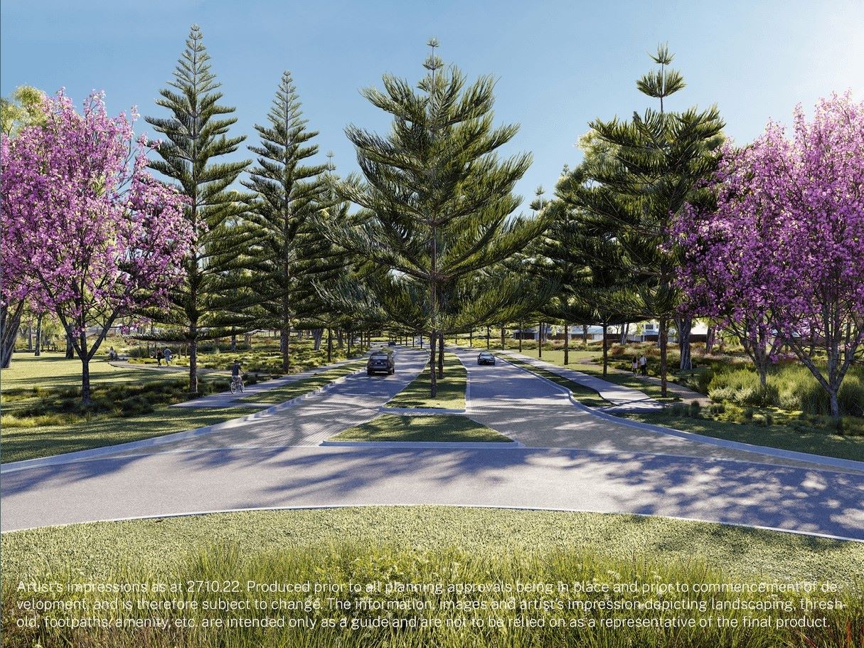
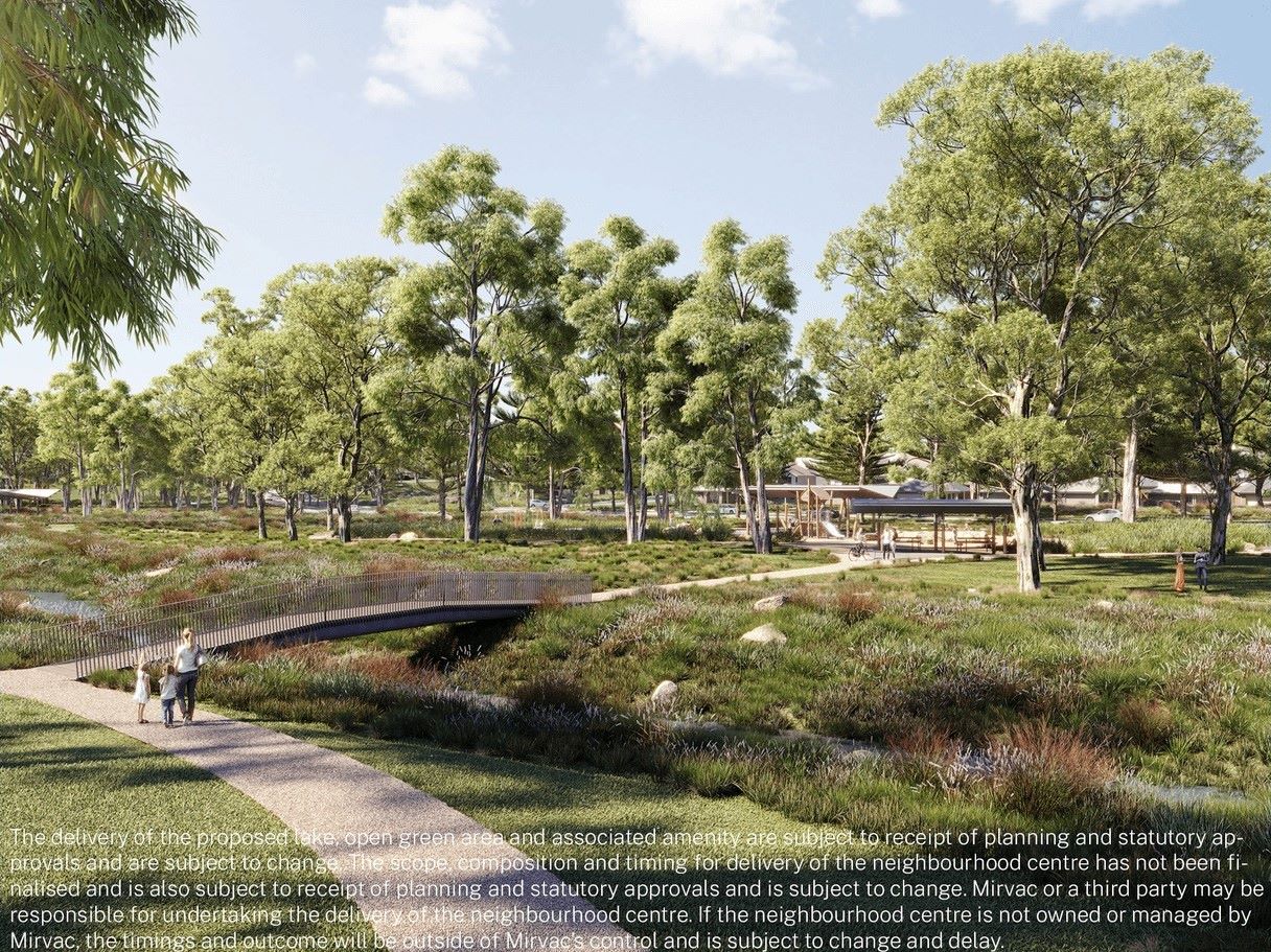
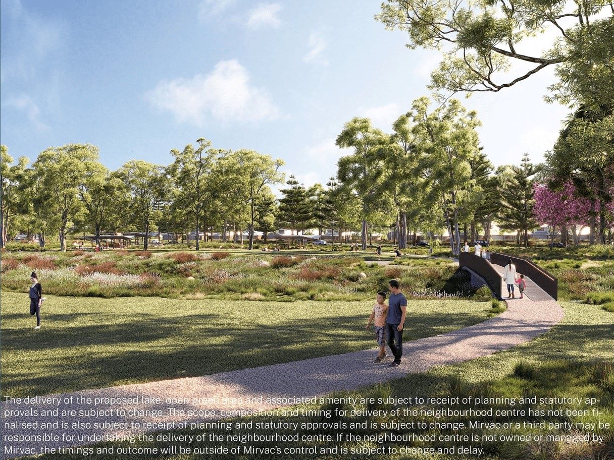
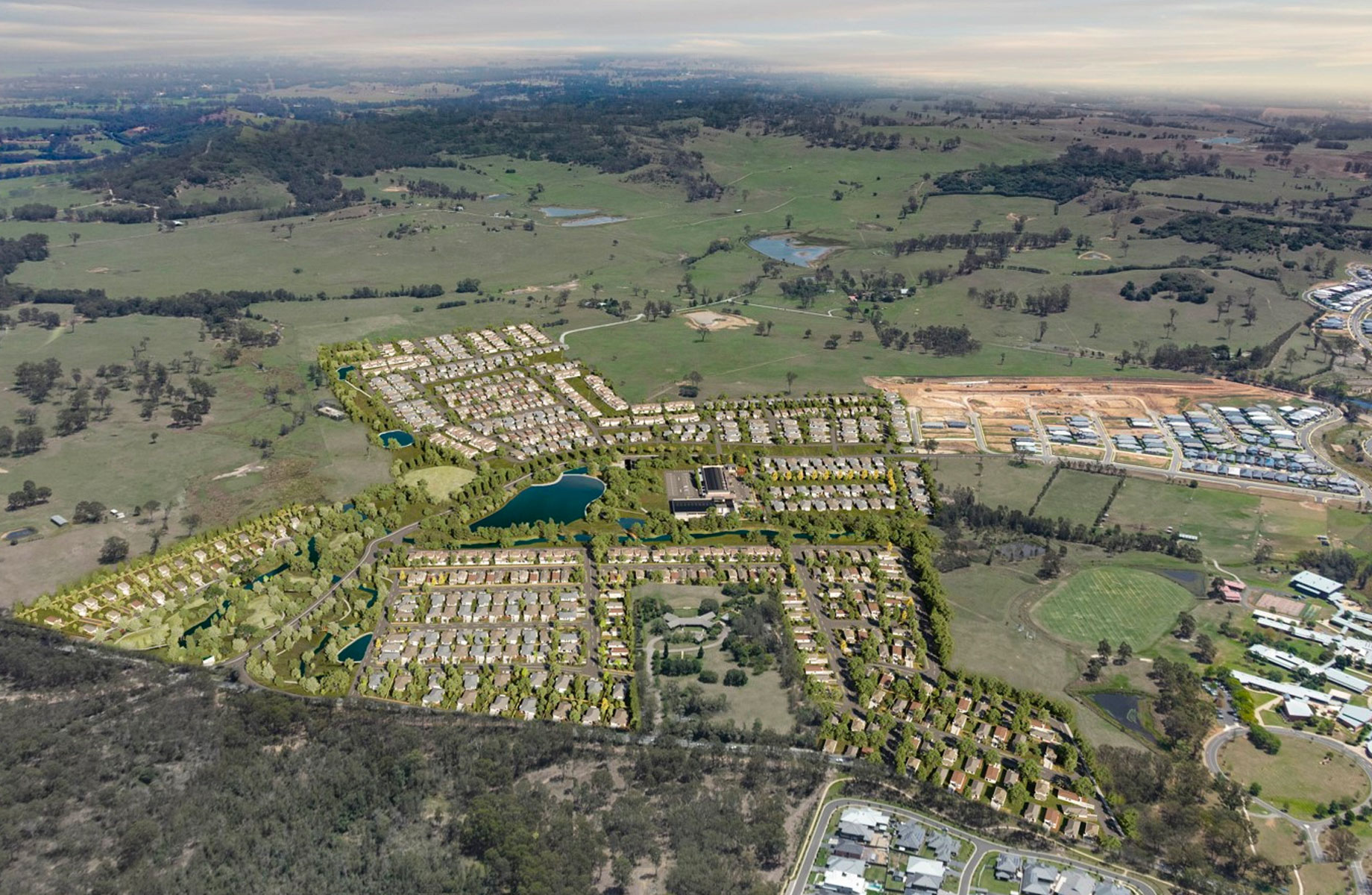
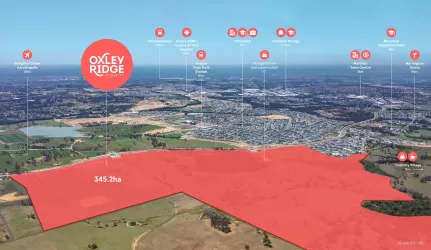
- Cobbitty is a rare opportunity to live happily between two worlds – a pocket of peace and tranquillity whose rural town character is cherished, yet connected to Camden and Narellan, among the fastest growing localities in Australia.
- Mirvac's newest masterplanned community
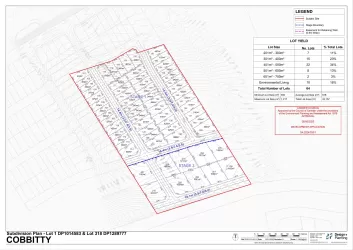
- Land from 270sqm – 523sqm
- Land from 1000sqm - 1088sqm
- Bring your own builder
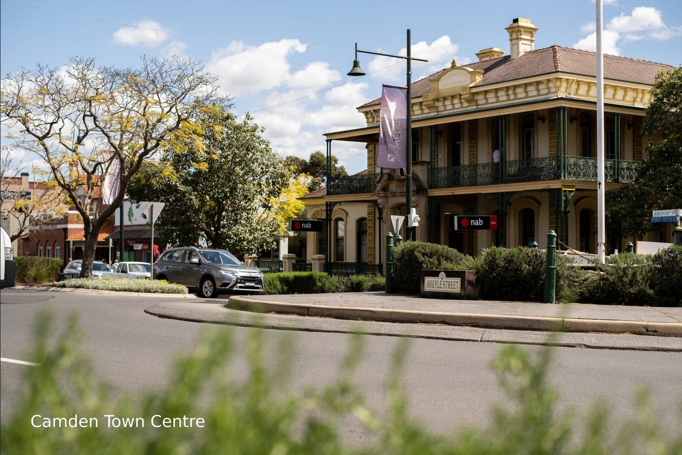
- 4 minute drive to Cobbitty Town Centre
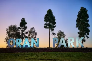
- 6 minute drive to Oran Park Town Centre
- 7 minute drive to Narellan Town Centre
- Close to public transport
- Nearby to TAFE and Western Sydney University Campbelltown Campus
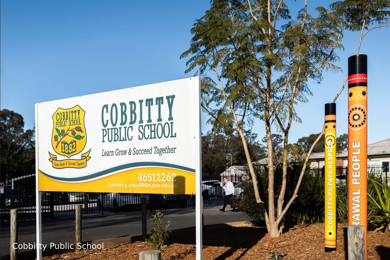
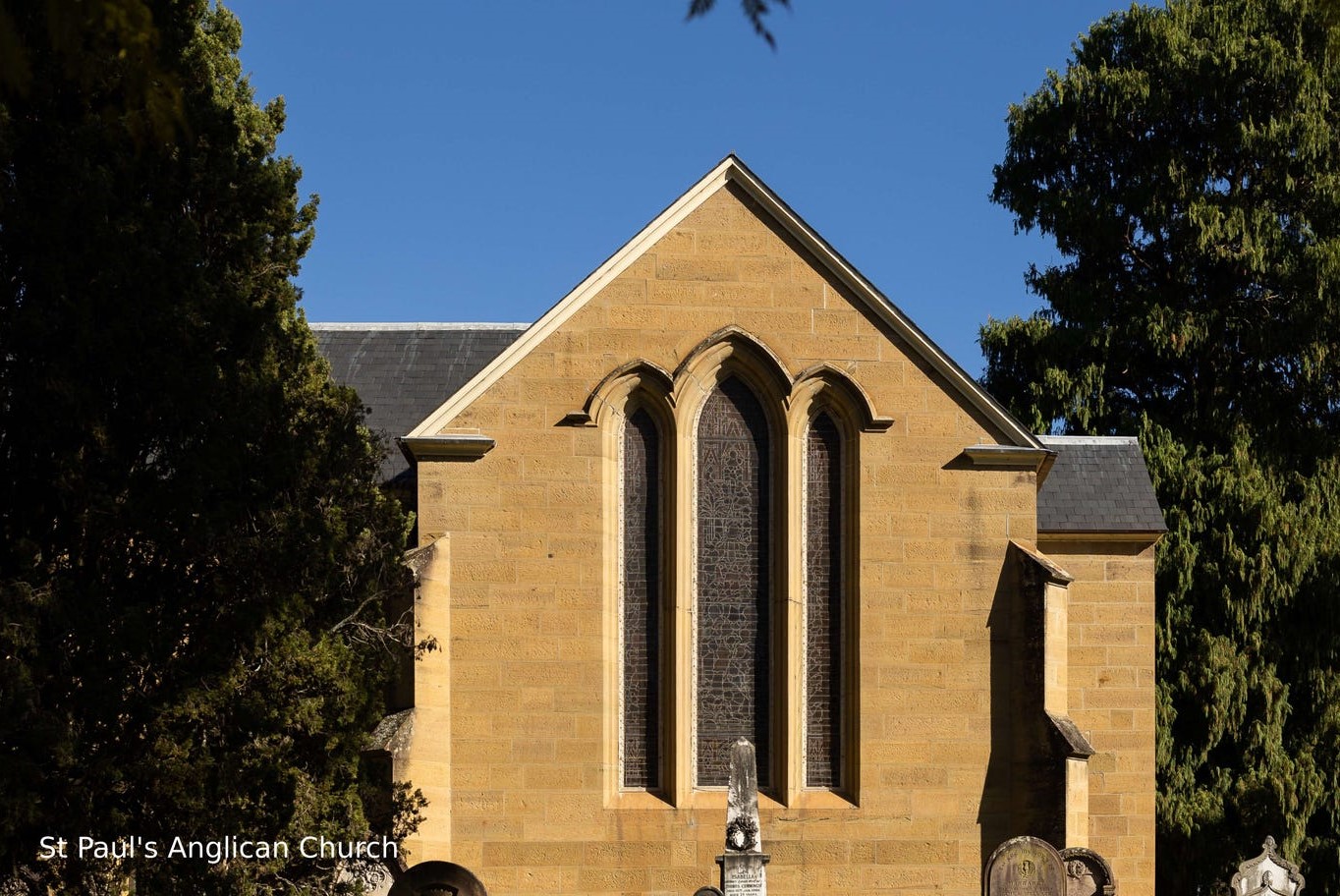
- Close to Cobbitty Public School, Macarthur Anglican School and Oran Park High School
Property types for sale
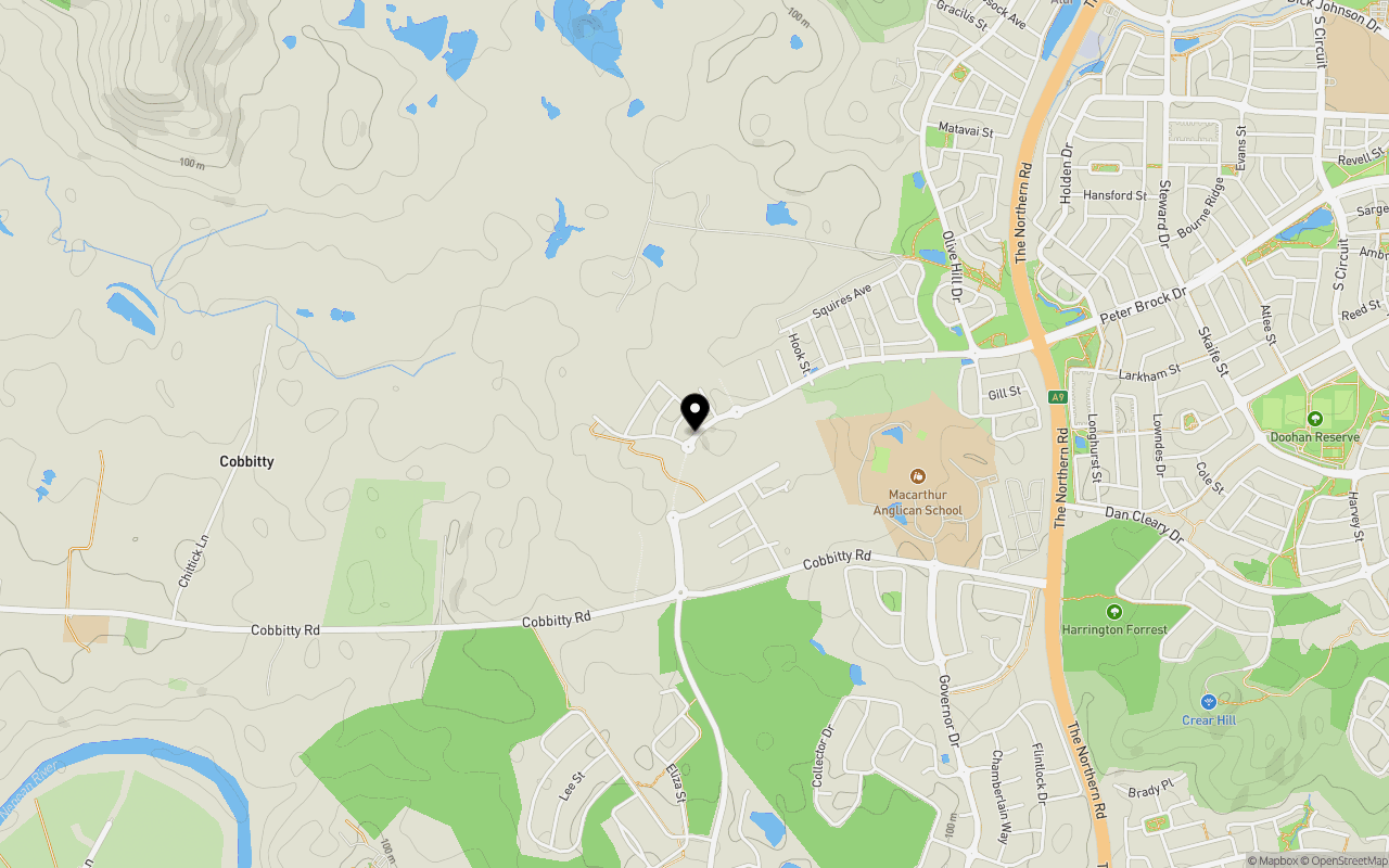
Location & Map for Cobbitty by Mirvac - Cobbitty
Schools near Cobbitty by Mirvac - Cobbitty
Cobbitty by Mirvac - Cobbitty Video
Overview
This information is estimated by the OpenLot research team. Let us know here to provide up-to-date information about this development.
| Total new homes | |
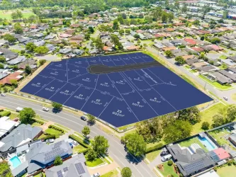
| Area Size | 79.60 hectares |
| Growth Region | Sydney South West Growth Areas |
| City Council | Camden Council |
| Developer | Mirvac |
| Distance to |
Suburb Planning Review in Cobbitty NSW 2570
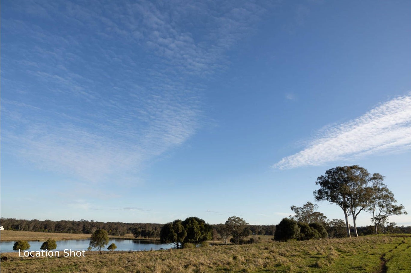
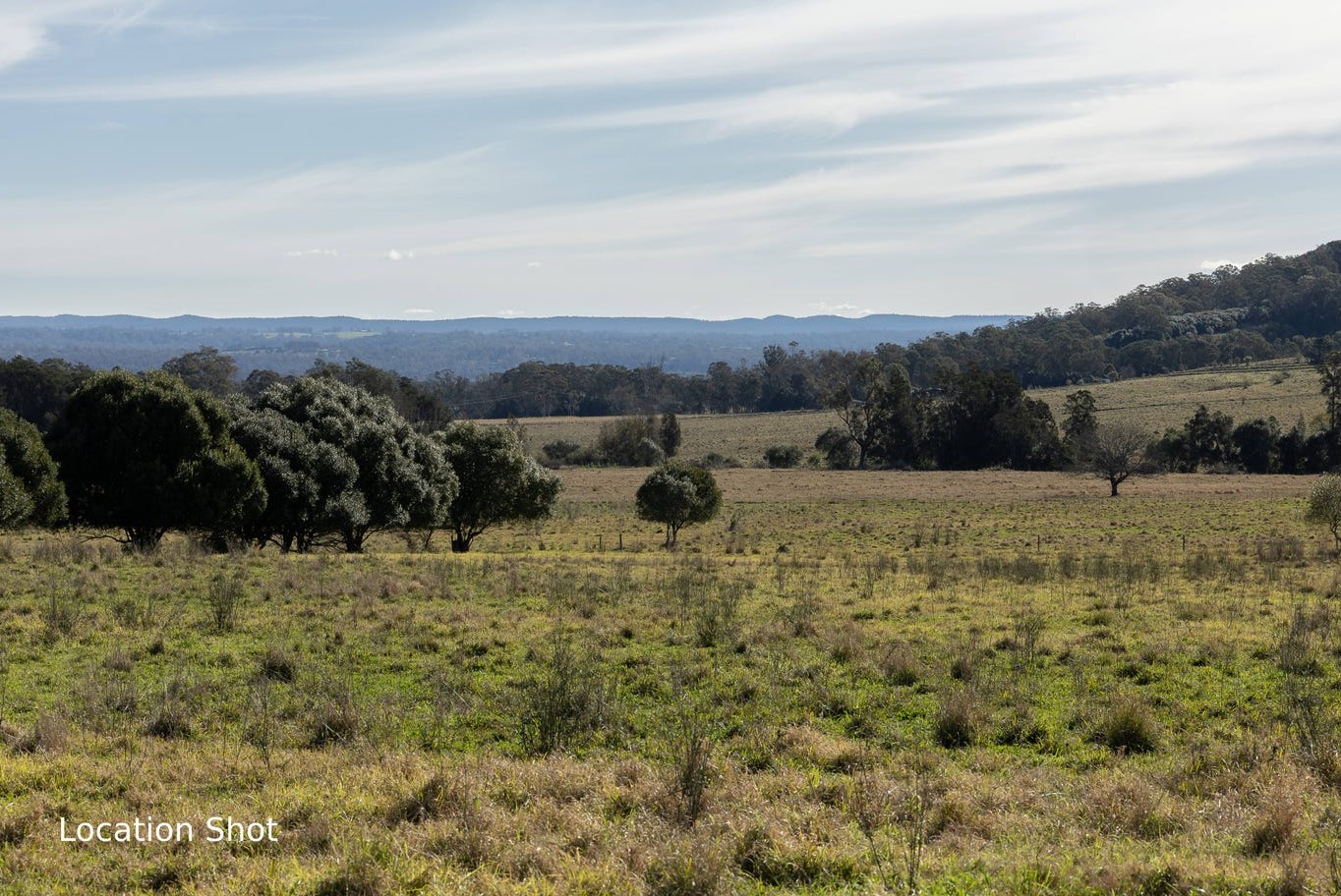
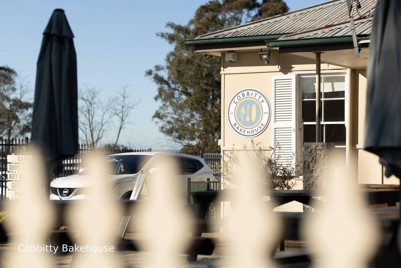
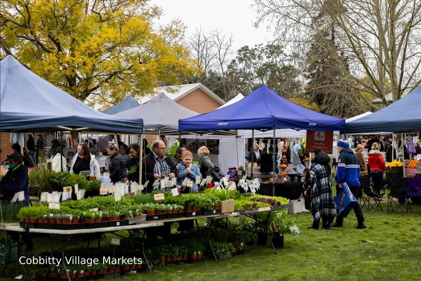
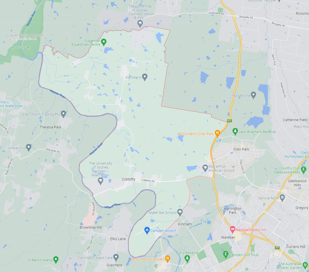
Cobbitty is approximately 5,216.4ha within the north ward of Camden Council and the Hume electoral division in New South Wales, located 60 kilometres south-west of Sydney. The regional area is primarily rural land holdings supported by the Cobbitty Town Centre.
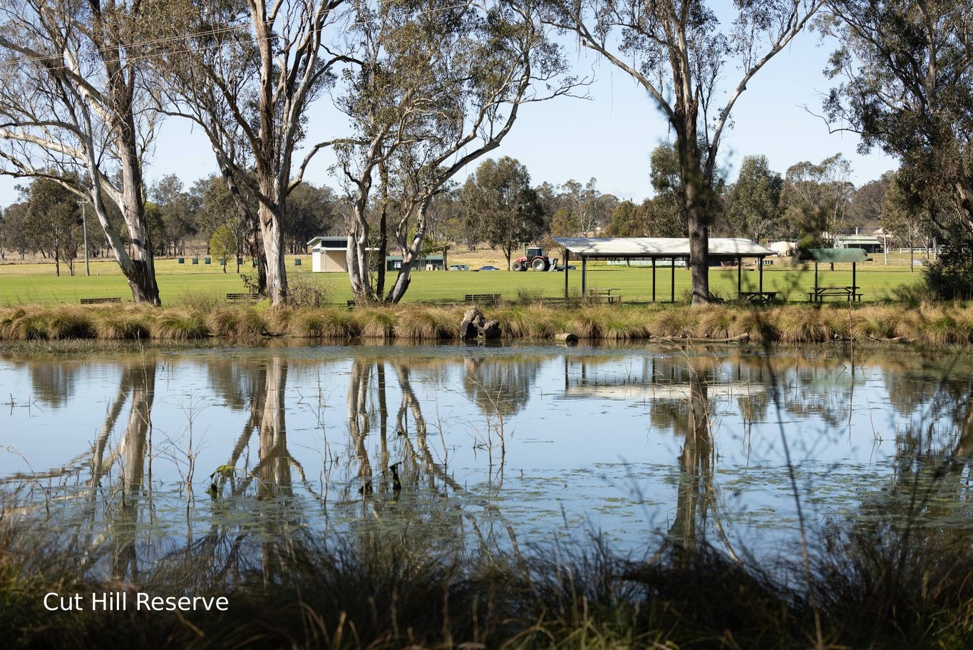
The suburb boundary is located along Bringelly Creek to the north and the long winding Nepean River to the west and south. The Macquarie Grove Road and the Northern Road provide part of the boundary to the east, with a series of property boundaries in the northeast. The Camden Airport is also located in the south of Cobbitty, with the University of Sydney establishing research farms in both the north and south of the area.
Cobbity Road, Coats Road and Cut Hill Road provide access to the village, the rural properties and surrounding townships. Rural residential zoned areas dominate the northern, southern and western portions of the suburb, however, contains a cluster of low density development to the eastern boundary.
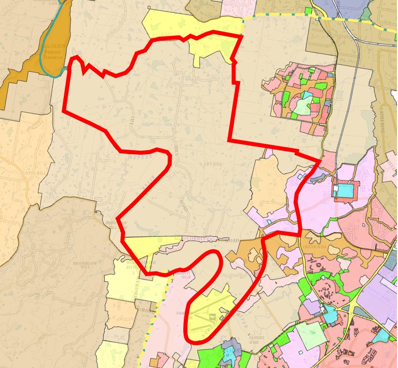
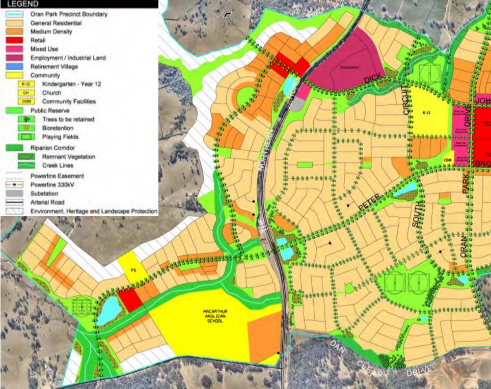
Along both Macquarie Grove Road and the Northern Road, urban areas are being developed under the general residential zoning in an expansion of Oran Park (Local Centre), which is supported by the Oran Park Precinct - Growth Centres Precinct Development Control Plan.
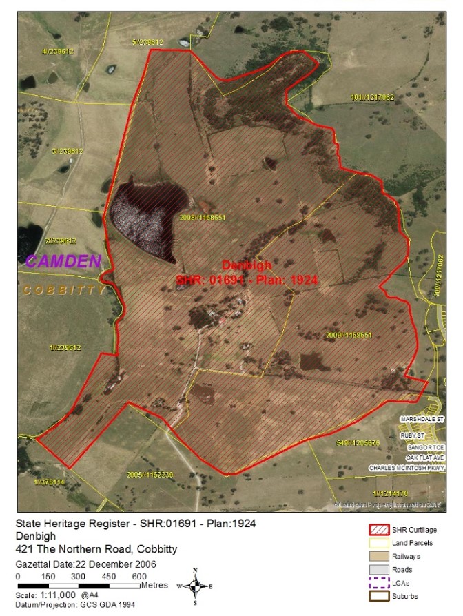
The emerging development wraps around Denbigh, Bangor and Cluny Hill a group of homesteads, buildings and plantations in a large rural setting. The heritage-listed area is of great state significance due to the preservation of the buildings.
Cobbitty: Campbelltown–Macarthur
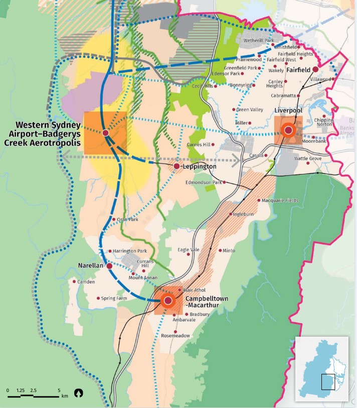
Cobbitty forms the outer rural area of the Campbelltown–Macarthur a Metropolitan Cluster within the Western Parkland City which will form part of the region plan for Greater Sydney. The vision for the next 20 years is to provide jobs, education, health facilities and services to more residents that live within the new Western Parkland City, drawing on the new Western Sydney Airport and Badgerys Creek Aerotropolis, and North-South Rail Link.
The growth area will create the opportunity for a Western Economic Corridor. The planning priorities and actions for improving the quality of life for residents in this growth area are set down in the Western City District Plan, our greater Sydney 2056, March 2018.
Western City District Plan in Cobbitty
The population growth in the Western City District will be 464,450 by 2036, which is expected to require a housing growth of 184,500 dwellings (25%). The integration of new land use, transport and infrastructure is supported by the Future Transport Strategy 2056 and State Infrastructure Strategy 2018–2038 across the region. The new Western City District Structure Plan illustrates the loction for the future urban growth
Cobbitty Suburb Summary
References
- Camden City Council - Cobbitty DCB
- Cobbitty – Structure Plan for the Western City District
- Cobbitty, NSW - State Heritage Area
- Oran Park – Development Control Plan
- Google Streetview and Aerial
Updates for Cobbitty by Mirvac - Cobbitty

Land Price Trend in Cobbitty NSW 2570
Below shows the price trend from vacant land sales recorded in Cobbitty NSW 2570.
The data and information provided by Terralytics (Aust) Pty Ltd (Terralytics Data) is general in nature and is not intended to constitute professional advice. Read more
It should not be relied upon as a substitute for legal, financial, valuation, or other specialist advice relevant to your specific circumstances.
Terralytics uses commercially reasonable endeavours to ensure the Terralytics Data is current and accurate. However, as the Terralytics Data incorporates information sourced from third parties, Terralytics makes no representation or warranty — express or implied — as to its accuracy, completeness, or currency. To the maximum extent permitted by applicable law, Terralytics excludes all liability for any loss or damage (including consequential loss) arising out of or in connection with reliance on the Terralytics Data, whether arising in contract, tort (including negligence), statute, or otherwise.
Popular Estates near Cobbitty by Mirvac - Cobbitty


Not exactly what you're looking for? Try surrounding suburbs
Harrington Park NSW 2567
1 estate | Camden Council
8.1km east
Spring Farm NSW 2570
9 estates | Camden Council
10.1km south-east
Elderslie NSW 2570
4 estates | Camden Council
7.3km south-east
Narellan Vale NSW 2567
1 estate | Camden Council
10.1km south-east
Bringelly NSW 2556
1 estate | Camden Council
10.1km north-east
Oran Park NSW 2570
11 estates | Camden Council
7.4km east
Latest published articles


FAQs about Cobbitty by Mirvac - Cobbitty
Mirvac is the developer behind Cobbitty by Mirvac - Cobbitty.
Cobbitty by Mirvac - Cobbitty consists of 900 homes.
The total area for Cobbitty by Mirvac - Cobbitty is 79.60 hectares.
Cobbitty by Mirvac - Cobbitty falls under Camden Council.
Cobbitty by Mirvac - Cobbitty is 47 km west of Sydney CBD.
Nearby schools for Cobbitty by Mirvac - Cobbitty:
- Macarthur Anglican School - 858m east
- Mater Dei School - 2.0km south-west
- Aspect Macarthur School - 2.2km south
- Cobbitty Public School - 2.3km west
- Oran Park Public School - 2.7km north-east
- Oran Park High School - 2.7km north-east